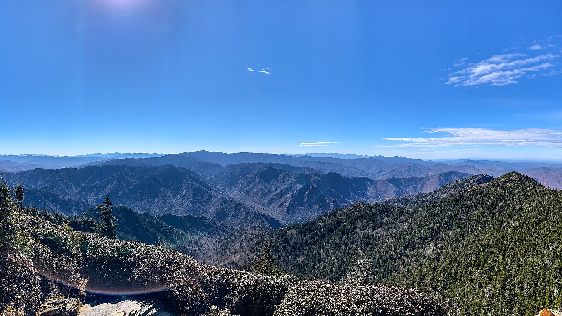
Nantahala National Forest
National Forest

Nantahala National Forest

North Carolina · NC

531K

Acres

7

Campgrounds

Official sources & verification

Managed by United States Forest Service

Verify before you go

Source of truth

Verify by phone or mail

We display cached information from agency feeds. Hours, fees, permits, closures, fire restrictions, and conditions change without notice. Outdoors is not the permitting authority. Confirm current conditions for this park using the links above before you go — you are responsible for compliance. Last verified by us: May 10, 2026. Our copy is more than a month old — please reconfirm with the agency before relying on it.Spot an error in our data?

About

Imported description
North Carolina's largest national forest at 531,000 acres, Nantahala takes its name from the Cherokee word meaning "Land of the Noon Day Sun," describing the deep Nantahala Gorge where steep walls allow direct sunlight to reach the river only at midday. The forest protects some of the most rugged and biodiverse terrain in the Southern Appalachians, including Whitewater Falls at 411 feet -- the highest waterfall east of the Rocky Mountains -- and the Joyce Kilmer Memorial Forest, a magnificent 3,800-acre stand of virgin old-growth hardwoods with tulip poplars exceeding 100 feet tall and 20 feet in circumference. World-class whitewater on the Nantahala River draws hundreds of thousands of rafters, kayakers, and canoeists each year to the Nantahala Outdoor Center, making it one of the most popular paddling destinations in the eastern United States. The Appalachian Trail traverses the forest's highest ridges, passing through the Standing Indian Basin and over 5,000-foot peaks draped in dense rhododendron and flame azalea that bloom spectacularly in late spring. The forest's streams harbor native brook trout, and its high-elevation cove forests support one of the greatest diversities of salamander species found anywhere on Earth, earning the Southern Appalachians the title of "Salamander Capital of the World." Wayah Bald and Wesser Bald fire towers offer panoramic views of wave after wave of ancient blue-green mountains stretching to the horizon.

Source: fs.usda.gov

From Wikipedia

The Nantahala National Forest is the largest of the four national forests in North Carolina, lying in the mountains and valleys of western North Carolina. The Nantahala is the second wettest region in the Continental US, after the Pacific Northwest and it is part of the Appalachian temperate rainforest. Due to its environmental importance and historical ties with the Cherokee, the forest was officially established on January 29, 1920, by President Woodrow Wilson. The word "Nantahala" is a Cherokee derived word, meaning "Land of the Noonday Sun." In some spots, the sun reaches the floors of the deep gorges of the forest only when it is high overhead at midday. This was part of the homeland of the historic Cherokee and their indigenous ancestors, who have occupied the region for thousands of years. The Nantahala River runs through it.

Source: Wikipedia — text licensed CC BY-SA 4.0. Verify alerts and operational details with the managing agency below.

Reviews

No reviews yet

Be the first to share your experience and help others plan their visit.

Spot an error in our data on Nantahala National Forest?