No photos yet
1
Trails
Official sources & verification
Managed by Montana FWP
Source of truth
- Clark's Lookout — official page
Operator-published page with current visitor information.
About
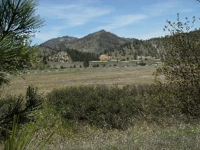
A hilltop park above the Beaverhead River where William Clark climbed in 1805. Walk to the top for views of the valley, read the interpretive signs and picnic.
Source: fwp.mt.gov
From Wikipedia
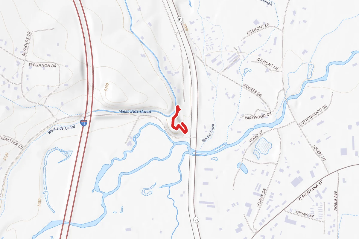
Clark's Lookout State Park is a Montana state park located one mile north of the community of Dillon. The 8-acre (3.2 ha) park encompasses the hill overlooking the Beaverhead River that William Clark climbed on August 13, 1805, during the Lewis and Clark Expedition. From the vantage point, Clark took various compass readings and sketched a map of the Beaverhead Valley. The park offers picnicking, interpretive signage, and a chance to make the climb that Clark made and stand where he stood.
Source: Wikipedia — text licensed CC BY-SA 4.0. Verify alerts and operational details with the managing agency below.
Reviews
No reviews yet
Be the first to share your experience and help others plan their visit.
Hunting in this park
This park overlaps hunting units
During hunting seasons, wear blaze orange and check regulations — see the Montana hunting page
Within ~100 miles
Parks near Clark's Lookout
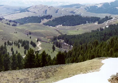
Beaverhead National Forest
Montana
3,447 sq mi
ParkNational Forest
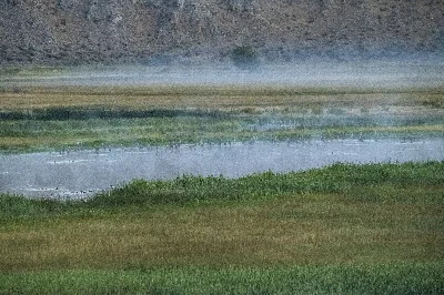
Beaverhead Rock
Montana
ParkState Park
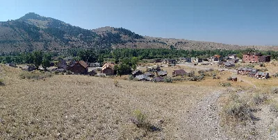
Bannack
Montana
ParkState Park
Clark Canyon Reservoir
Idaho
ParkNat'l Recreation Area
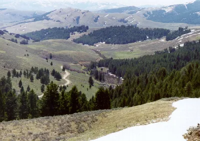
Beaverhead-Deerlodge National Forest
Idaho
ParkNat'l Recreation Area
Humbug Spires WSA
Montana
ParkNat'l Recreation Area
Same state
More parks in Montana
Featured
Flathead National Forest
Montana
3,758 sq mi
ParkNational Forest
Featured
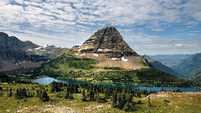
Glacier National Park
Montana
1,583 sq mi
ParkNational Park
Ackley Lake
Montana
ParkState Park

Anaconda Smoke Stack
Montana
ParkState Park
Anita Reservoir
Montana
ParkNat'l Recreation Area
Axolotl Lakes
Montana
ParkNat'l Recreation Area
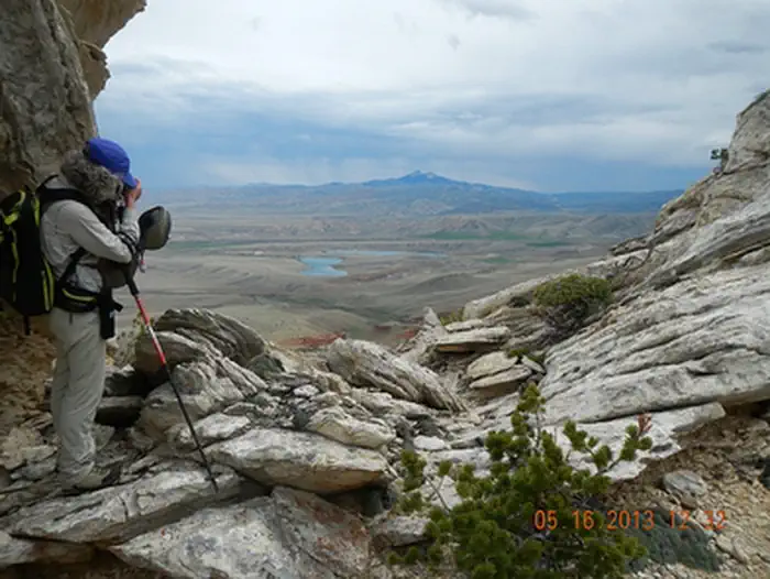
Bald Ridge Trail
Montana
ParkNat'l Recreation Area
Beavertail Hill
Montana
ParkState Park
Spot an error in our data on Clark's Lookout?