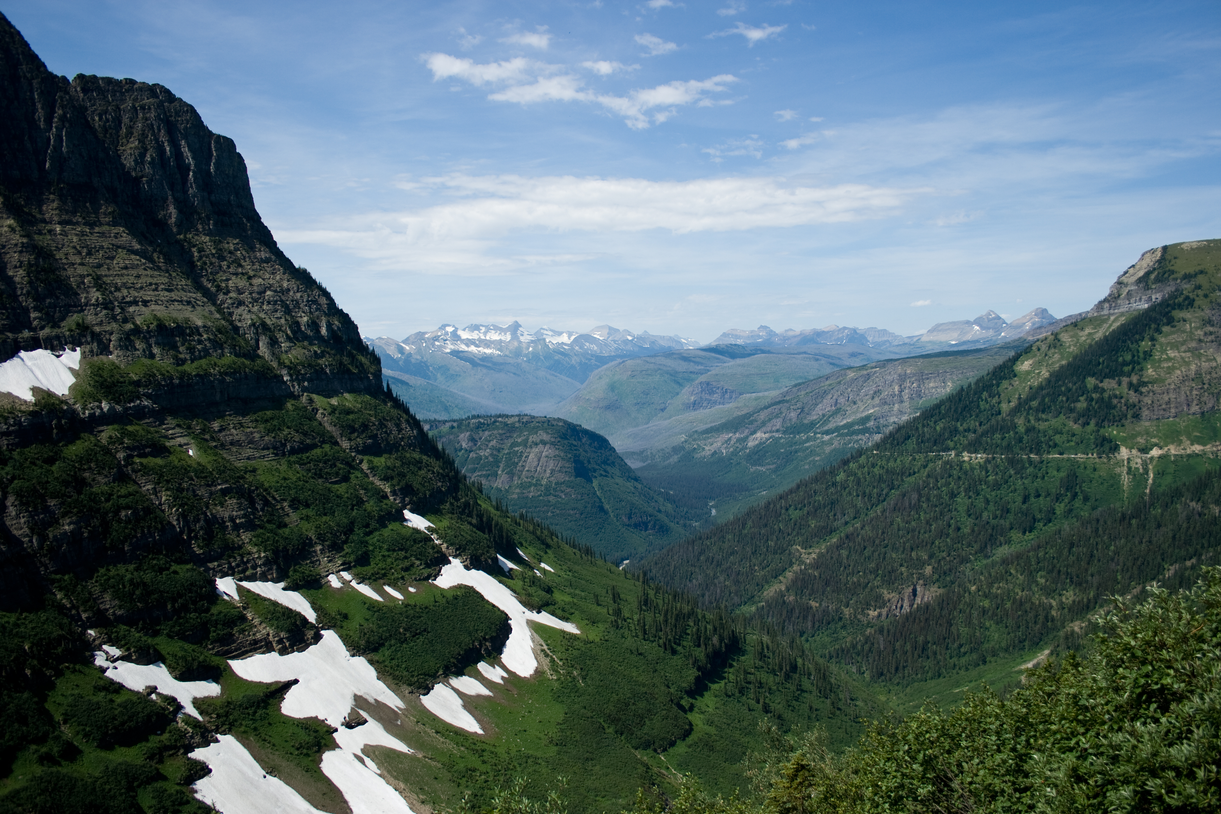
A Dam Broke Above This Trail in 1982
The Ypsilon Lake Trail climbs the Roaring River out of the Lawn Lake Trailhead, up the path the 1982 Lawn Lake Dam failure scoured. Four and a half miles in it reaches Ypsilon Lake, under the east face of a mountain named in 1889 by a woman who never climbed it.

The Ypsilon Lake Trail starts at the Lawn Lake Trailhead on the Fall River side of Rocky Mountain National Park, and the first two kilometers climb beside the Roaring River. The river is the reason to start here. On 15 July 1982, at about half past five in the morning, the Lawn Lake Dam failed and sent a high mountain lake down this drainage.
The dam was a private irrigation structure that predated the park. USGS Open-File Report 84-612, by Robert Jarrett and John Costa, put the release at roughly 674 acre-feet and traced what it did on the way down. The flood scoured the Roaring River channel, in places to about fifty feet, and carried boulders out into Horseshoe Park. The largest one that has been weighed came in at 452 tons. Where the river met flat ground it dropped what it was carrying and built an alluvial fan of about 42 acres, which the park now signs as a feature in its own right.
Three people died. The water reached Estes Park and did something close to thirty-one million dollars of damage.
Steven Cashman was camped beside the Roaring River. He described hearing a sound like an airplane, then loud booms, then trees going over. Stephen Gillette was driving a truck for a trash service and saw the water from near Horseshoe Falls; his call went into the park dispatch log at 6:22 and 47 seconds. The USGS report records that warning was then passed within minutes between the Park Service, the Larimer County Sheriff, the Estes Park police and KSIR radio.
The National Park Service says visual scars along the alluvial fan and the scoured river remain. Forty-four years is not very long in a river's life.
Up to the lake
About two kilometers in, the Ypsilon Lake Trail branches off the Lawn Lake Trail and climbs through lodgepole and spruce. The Park Service publishes the distance from the Lawn Lake Trailhead to Ypsilon Lake as 4.5 miles one way with 2,180 feet of gain. Our own measurement of the mapped trail comes out slightly shorter, at just over four miles, which is the sort of difference you get between a signed figure and a traced line. Either way it is a steady climb with no flat sections to speak of.
The lake sits at the bottom of a cirque. The wall above it is the east face of Ypsilon Mountain, and behind the rim, out of sight from the shore, are the two Spectacle Lakes.
The woman who named the mountain
Frederick Chapin came to Estes Park in the 1880s and wrote Mountaineering in Colorado: The Peaks about Estes Park, published in 1889. On page 121 he describes looking up at this face and seeing two bands of ice running to the ridge in the shape of a letter. He gives the naming to his wife, in her words rather than his: its name shall be Ypsilon Peak. Ypsilon is the Greek letter upsilon, the Y.
He records that she named it before he had climbed it, and that 1887 went by with the peak still unclimbed. He also judged the drop from the summit down to the Spectacle Lakes at over two thousand feet. Measured against USGS 3DEP lidar it is about 2,170 feet, which is a good eye for a man with no instrument.
Chapin's book never gives his wife's first name. It says only my wife, and so does this article.
What the reel does not say
Two numbers are missing from the narration on purpose. The first is the summit elevation of Ypsilon Mountain, because the sources disagree and the disagreement is inside one agency: the USGS quadrangle gives 13,445 feet and USGS 3DEP lidar reads 13,511. Sixty-six feet is not a rounding question, so the reel speaks no elevation at all.
The second is the Y itself. The couloir is why the mountain has its name, but it holds snow seasonally, and the aerial imagery the flythrough is built from was captured on 26 September 2019, when the cirque was bare rock. The reel explains the name and does not point at something that is not on screen.
Sources
- Jarrett, R.D. and Costa, J.E., Hydrology, geomorphology, and dam-break modeling of the July 15, 1982 Lawn Lake Dam and Cascade Lake Dam failures, Larimer County, Colorado, USGS Open-File Report 84-612.
- National Park Service, Rocky Mountain National Park, site bulletin "Flood!" and the park's Lawn Lake flood pages.
- Chapin, F.H., Mountaineering in Colorado: The Peaks about Estes Park (Appalachian Mountain Club, 1889), p. 121.
- USGS 3DEP elevation data and the USGS Elevation Point Query Service.