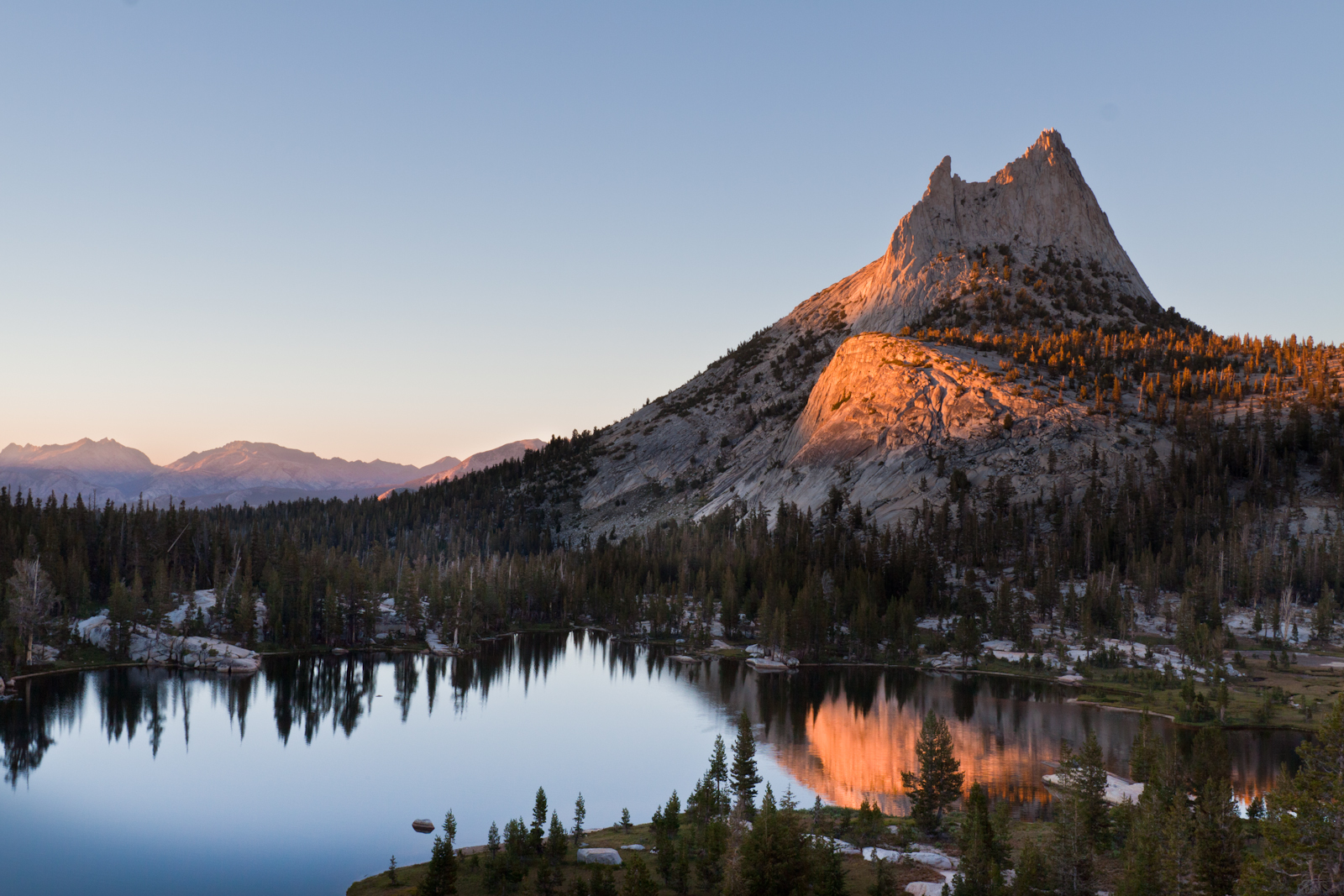
Ryan Mountain, Joshua Tree: The Trail With One of the Park's Best 360-Degree Views
Ryan Mountain is one of the most popular hikes in Joshua Tree, and the NPS says the summit has one of the best 360-degree views of any trail in the park. The route, the striped rock on the way up, what you can see from the top, and when to go.

Ryan Mountain is one of the most popular hikes in Joshua Tree National Park, and the National Park Service says the summit has one of the best 360-degree views of any trail in the park. The NPS rates it difficult. It climbs almost the whole way, and from the top you can see the Wonderland of Rocks and Mount San Gorgonio, the tallest peak in Southern California.
The route, in order
The trailhead. Park at the Ryan Mountain trailhead on Park Boulevard, between Ryan Campground and Sheep Pass Campground. There's a second trailhead at Sheep Pass Campground for campers, but the NPS says there is no parking there for anyone else.
The flat start. The first stretch is fairly flat.
The climb. Then the trail starts climbing, and it keeps climbing almost all the way to the top. The NPS describes it as a rough dirt and rock trail with many steps and steep sections, and there is very little shade.
The striped rock. On the way up, look for rock with light and dark stripes. That's Pinto Gneiss, the oldest rock type in the park. The NPS estimates it at 1.8 billion years old, and it's noticeably different from the lighter monzogranite cliffs and boulders below.
The summit. Our lidar puts the top at 5,457 feet. Walk all the way around it, because the view goes in every direction.
What you see from the top
The NPS lists the Wonderland of Rocks, the Sheephole Wilderness, Mount San Jacinto, which towers more than 10,000 feet above Palm Springs, and Mount San Gorgonio, the tallest peak in Southern California. On a clear day, the NPS says, you can see all the way to Mexico.
Ryan Mountain is also home to desert bighorn sheep, so watch for them on the way up and back down.
How far it is
The NPS lists Ryan Mountain as a 3 mile out and back with 1,050 feet of elevation gain, and its hiking page says to plan on 1.5 to 2.5 hours. Our line for the video follows OpenStreetMap from the trailhead to the summit and measures 1.4 miles one way, climbing from 4,408 feet to 5,457 feet on the lidar. Use the NPS numbers for planning.
When to go
Go in fall, winter or spring. The NPS says this hike is not recommended in summer or any time it's very hot, because there's so little shade. It's a popular hike, so the NPS says to get there early on busy days to find a parking spot.
The short version
- Start: the Ryan Mountain trailhead on Park Boulevard, between Ryan Campground and Sheep Pass Campground.
- Route: a fairly flat start, then a steady climb with many steps to the summit.
- Distance: 3 miles round trip and 1,050 feet of gain, according to the NPS. Our line measures 1.4 miles one way.
- The view: a full 360, including the Wonderland of Rocks, San Jacinto and San Gorgonio.
- Season: fall, winter and spring. Skip it in summer.
Before you go
Looking for more? Browse Joshua Tree National Park on Outdoors.
Image credits
Lead image: Ryan Mountain viewed from Lost Horse Valley, NPS / Brad Sutton, public domain, via Wikimedia Commons.