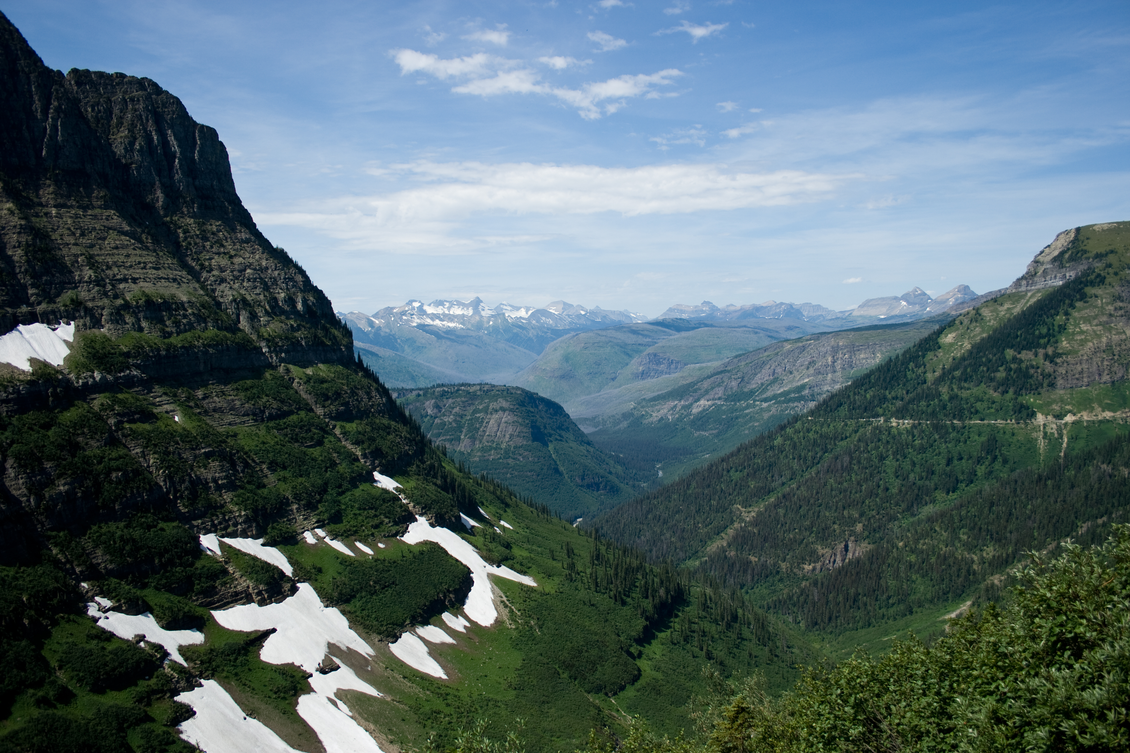
The Cavalry Cut This Trail in the 1890s
Troop K of the 4th Cavalry built Old Army Pass while stationed in Owens Valley. The earliest written record of it, from 1926, says it was sometimes difficult of passage on account of snow. That has not changed.

Mount Langley is the southernmost peak over fourteen thousand feet in the Sierra Nevada. The route most people walk starts at the Cottonwood Lakes, climbs Old Army Pass, and finishes on a summit that is a broad granite plateau rather than a point.
A trail the Army cut
Old Army Pass was built by troop K of the 4th Cavalry while the unit was stationed in Owens Valley in the 1890s. Francis Farquhar recorded it in Place Names of the High Sierra in 1926. He credited the detail to Chester Versteeg by way of General M. F. Davis, and he added a line that still describes the pass: it was “sometimes difficult of passage on account of snow.”
The National Park Service carries the military-era trail in its own records. It lists the significance as early park administration by the military, and it notes that much of the trail is missing. The Forest Service's current trail descriptions for this area cover a newer crossing, New Army Pass.
The lakes below
The Cottonwood Lakes hold the California golden trout, which the Legislature designated the official state fish in 1947. The fish are not native here. They were introduced in 1891, an egg-taking station was established by 1918, and the California Department of Fish and Wildlife still spawns golden trout from the Cottonwood Lakes broodstock for its Black Rock hatchery today.
Over the pass
At the top of the pass the route crosses from the John Muir Wilderness, administered by the Inyo National Forest, into Sequoia National Park. The ground opens out into a wide granite plateau, and the summit is flat enough that the mountain seems to simply stop rather than come to a peak.
Sheep Mountain
It was called Sheep Mountain until 1905. Farquhar records that the old name was not considered sufficiently distinctive, so the name Langley was placed on the peak instead. The name is for Samuel Pierpont Langley, who directed the Allegheny Observatory, served as secretary of the Smithsonian Institution from 1887, and led an 1881 expedition into this range to measure solar heat with an instrument of his own invention. The Board on Geographic Names made Langley official in 1943.
How we mapped it
The line in the video is the mapped route from OpenStreetMap, three ways joined on shared nodes with no fabricated geometry, flown over a USGS 3DEP lidar terrain model. Published figures for the full round trip vary widely between sources, so we have not quoted one. No agency publishes an official elevation for the summit either, which is why you will hear it described as just over fourteen thousand feet rather than given to the foot.