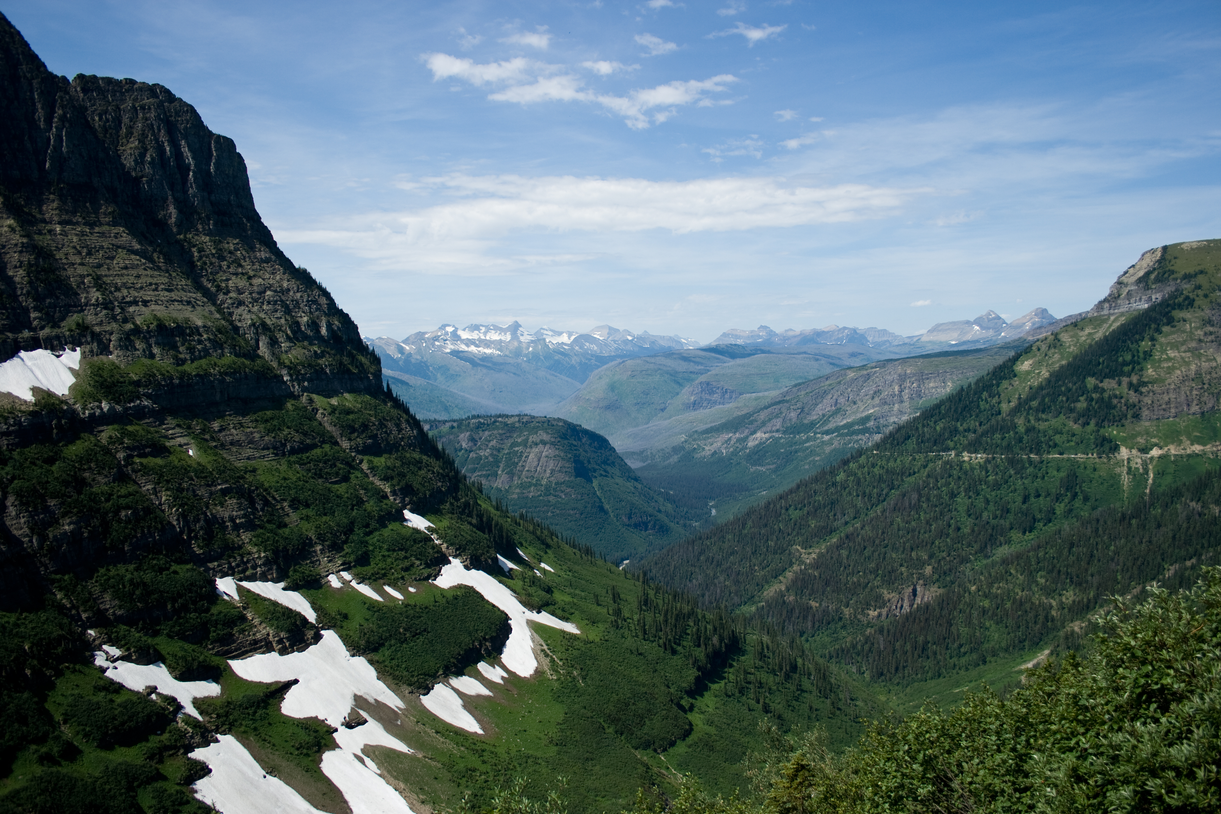
The Knife's Edge: Snowgrass Flat to Old Snowy in the Goat Rocks Wilderness
Snowgrass Trail #96 climbs through forest and meadows to the Pacific Crest Trail on the rim of the Goat Rocks. Old Snowy Mountain is a short scramble off the trail, and north of it the crest narrows into the Knife's Edge. 9.51 miles, about 3,580 feet of climbing, and no shelter on the ridge when the weather turns.

There is a section of the Pacific Crest Trail in the Goat Rocks Wilderness where the ridge narrows and the ground falls away on both sides. People call it the Knife's Edge. On this route you reach it after Old Snowy, not before.
The route
Start at the Snowgrass Flat trailhead in the Gifford Pinchot National Forest. The first few miles are forest, climbing steadily on Snowgrass Trail #96. Then the trees thin and you are in the meadows below the basin, which the Washington Trails Association notes draw wildflower hikers through July and August.
Above the basin the trail meets the Pacific Crest Trail on the rim. From there the route follows the crest north. Old Snowy Mountain sits a short scramble off the trail, and the Forest Service puts it at 7,930 feet, while USGS 3DEP lidar reads 7,922 feet at the summit node. Either way it is just under eight thousand feet, and from the top three volcanoes are in view at once: Rainier to the northwest, Mount Adams to the south, and Mount St. Helens beyond it.
Back down on the trail, the crest keeps narrowing. This is where the Knife's Edge begins, running north toward Egg Butte and Elk Pass.
By the numbers
The route runs 9.51 miles one way, measured from the OpenStreetMap trail network, and climbs about 3,580 feet, sampled from USGS 3DEP 1-meter lidar. It starts at the Snowgrass trailhead in the Gifford Pinchot National Forest and tops out at 7,635 feet, with Old Snowy's summit a short scramble above that.
Permits and parking
A wilderness permit is required, and the Forest Service states it is free and self-issued at the trailhead. Parking is separate: the Forest Service lists the Snowgrass trailhead as a fee site at $5 per vehicle per day, or $30 annually, or a valid Northwest Forest Pass or Interagency pass.
When to go
The window is roughly August into September, once the snow has cleared the traverse and before the weather turns. The meadows come earlier in that window; the ridge is drier and more walkable later in it.
Route geometry from OpenStreetMap contributors. Terrain from USGS 3DEP 1-meter lidar. Imagery from USGS NAIP. Elevation and permit details from the Gifford Pinchot National Forest, where the Forest Service states the wilderness permit is free and self-issued at the trailhead.