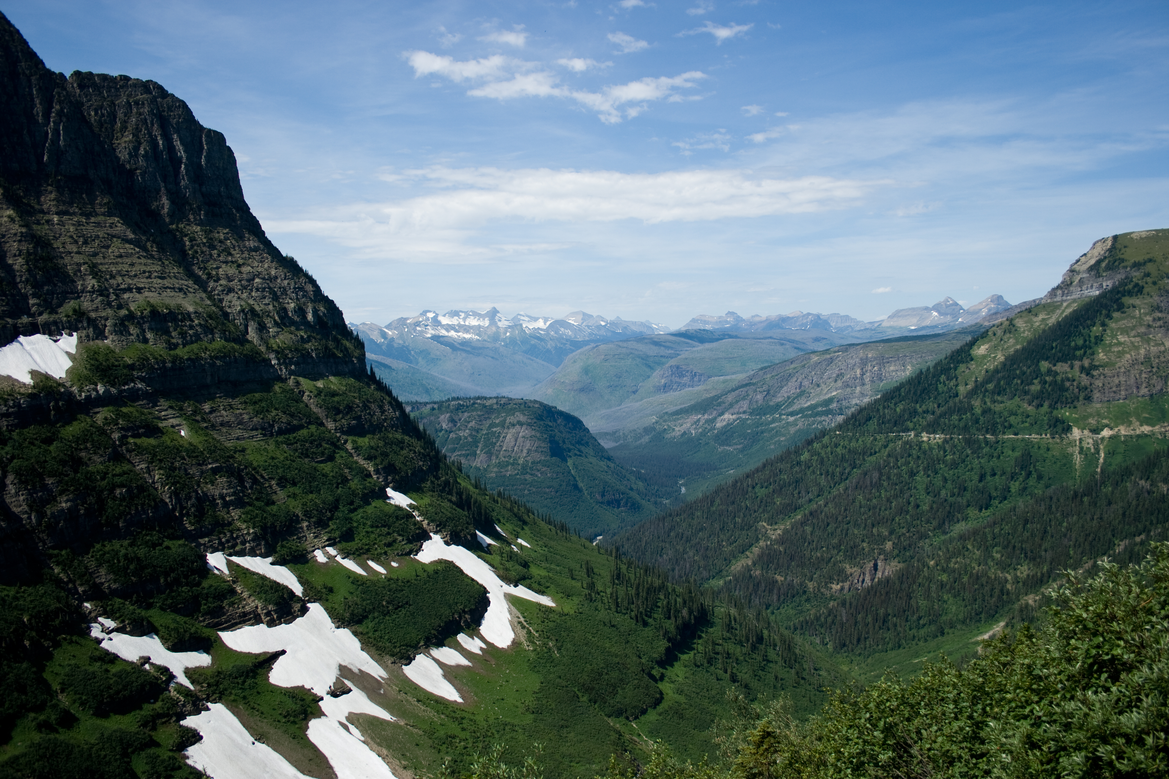
Cascade Pass and Sahale Arm: past the pass to the ridge above Doubtful Lake
The Cascade Pass Trail in North Cascades National Park climbs switchbacks through old forest to Cascade Pass, and the Sahale Arm Trail keeps going up an open ridge above Doubtful Lake toward the Sahale Glacier. Here is what the Park Service says about the distances, the drive in, snow into July, and staying on the trail.

Cascade Pass is a day hike in North Cascades National Park, at the end of the Cascade River Road. The trail climbs long switchbacks through old forest to a low saddle in the crest, and from there the Sahale Arm Trail keeps going north, up an open ridge of heather and rock above Doubtful Lake toward the Sahale Glacier.
The National Park Service lists the hike to Cascade Pass at 3.7 miles one way with 1,700 feet of elevation gain, and rates it moderate. Going on to the toe of the Sahale Glacier makes it 5.9 miles one way with 3,940 feet of gain, and the Park Service rates that strenuous. USGS elevation data puts the pass itself at about 5,400 feet.
Getting there
The trailhead is at the end of the Cascade River Road. The Park Service says the road leaves State Route 20 at Marblemount and runs 23.1 miles to the trailhead. It is paved for the first third, then gravel, with some narrow and steep sections near the end. The Park Service says the road typically opens to the Cascade Pass parking lot by the end of June, except in heavy snow years.
The switchbacks to the pass
From the parking lot the trail climbs through forest on long, steady switchbacks. Higher up, the trees thin out and the trail crosses open slopes to the saddle.
Cascade Pass
The pass is where a lot of people turn around, and it is a good place to do it. There is no camping allowed directly at the pass. If you have the time and the legs, though, the best part of the hike is still ahead.
Sahale Arm
From the pass, the Sahale Arm Trail turns north and climbs toward the ridge. Doubtful Lake comes into view in the basin below, and the trail keeps climbing up the open spine of the arm. The Park Service puts it at another 2.2 miles from the pass to the toe of the Sahale Glacier. Up here the ground is heather, rock and snow, with glaciers on the peaks across the valley and the whole climb laid out behind you.
The aerial imagery in our video was captured in early October 2017. It already shows snow on the upper arm, so the flight ends partway up, below the glacier camp.
Protect the meadows
The Park Service asks hikers to protect the plants here “by hiking and resting only on durable surfaces such as the trail, snow or rocks.” On the arm, that means staying on the trail even where the heather looks like a good place to sit.
What to bring
Bring warm clothes, rain gear, food and plenty of water. The upper arm is rocky, so wear shoes with good grip. Pack out everything you carry in.