Unit Paunsaugunt · Paunsaugunt
About this unit
Paunsaugunt Plateau including Bryce Canyon National Park boundary country. High pinyon-juniper and ponderosa pine forest with dramatic hoodoo escarpments dropping into the Paria River drainage on Dixie National Forest land.
- Paunsaugunt Plateau
- Bryce Canyon National Park-adjacent
- Dixie National Forest
Public lands inside this unit
20 found
Bryce Canyon National Park
56 sq miParkNational ParkBunting Trail
ParkNat'l Recreation AreaCottonwood Trail
ParkNat'l Recreation AreaCrocodile Staging Area
ParkNat'l Recreation AreaGreenhalgh Trail
ParkNat'l Recreation AreaHog Canyon OHV Trail System
ParkNat'l Recreation AreaKodachrome Basin State Park
ParkNat'l Recreation AreaMansard Trail
ParkNat'l Recreation AreaMud Spring Canyon
ParkNat'l Recreation AreaOld Spanish National Historic Trail | NPS
ParkNat'l Recreation AreaParia Canyon-Vermilion Cliffs Wilderness
ParkNat'l Recreation AreaParia Hackberry 202
ParkNat'l Recreation AreaParia Hackberry WSA
ParkNat'l Recreation AreaPeek-A-Boo Slot Canyon
ParkNat'l Recreation AreaPeek-A-Boo Staging Area
ParkNat'l Recreation AreaThe Blues WSA
ParkNat'l Recreation AreaTilted Mesa Mountain Biking Trail System (Tilted Mesa)
ParkNat'l Recreation AreaTom's Canyon Trail
ParkNat'l Recreation AreaWire Pass
ParkNat'l Recreation AreaOld Spanish National Historic Trail
Parkother
Trails near Unit Paunsaugunt
12 found
Washington to Arizona Backcounty Discovery Route Ride
Difficulty: Moderate4716.2 miTrailContinental Divide Trail
Difficulty: Difficult3001.6 miTrailGreat Western Trail - Utah
Difficulty: Expert1960.1 miTrailArizona Trail
Difficulty: Expert1358.9 miTrailArizona National Scenic Trail
Difficulty: Expert856.4 miTrailHayduke Trail
Difficulty: Difficult796.0 miTrailGreat Western Trail - Arizona
Difficulty: Expert364.0 miTrailHayduke Trail #10
Difficulty: Expert138.1 miTrailHayduke Trail #9
Difficulty: Expert112.8 miTrailGrand View Trail
Difficulty: Expert75.8 miTrailSeaman Canyon Road and South Long Canyon
Difficulty: Expert45.9 miTrailBuckskin Gulch Trail to Lees Ferry
Difficulty: Difficult45.6 miTrail
Campgrounds near Unit Paunsaugunt
12 found
Cottonwood Canyon Road Dispersed
Pricing varies — check with the operatorCampground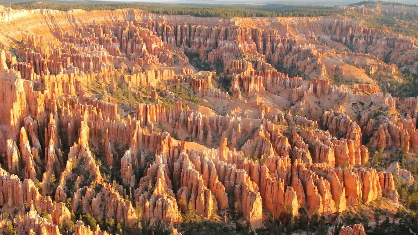
North Campground
Pricing varies — check with the operatorCampground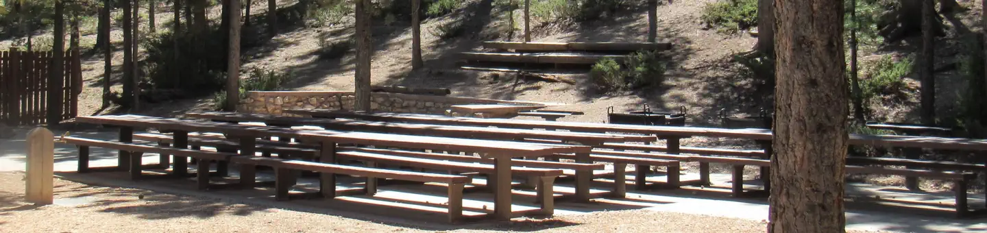
Kings Creek
Pricing varies — check with the operatorCampgroundClay Flat Kiosk
Pricing varies — check with the operatorCampground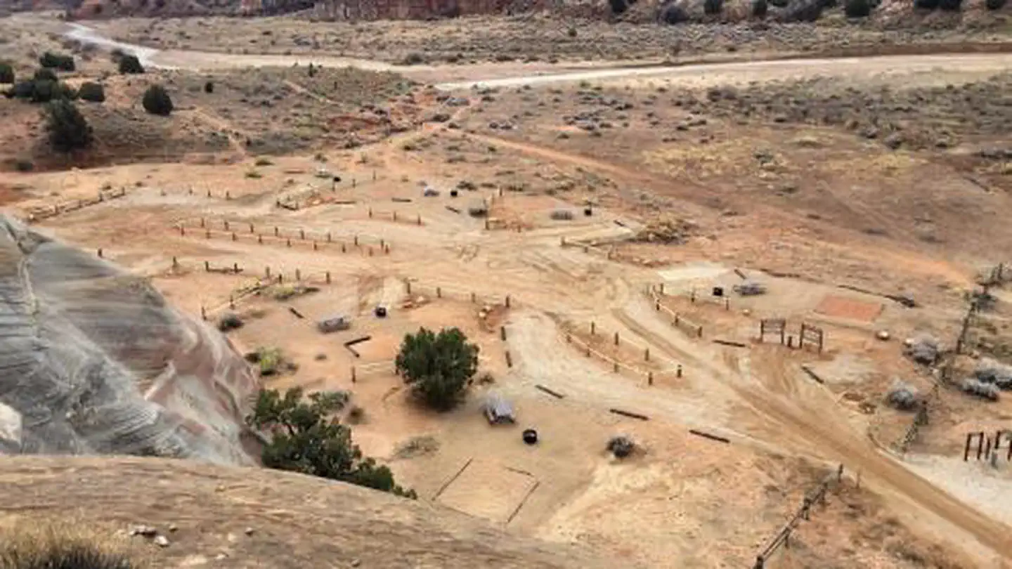
White House Campground
Pricing varies — check with the operatorCampgroundBuckskin Gulch Dispersed
Pricing varies — check with the operatorCampgroundCabin Hollow FS #121 Dispersed Camping
Pricing varies — check with the operatorCampground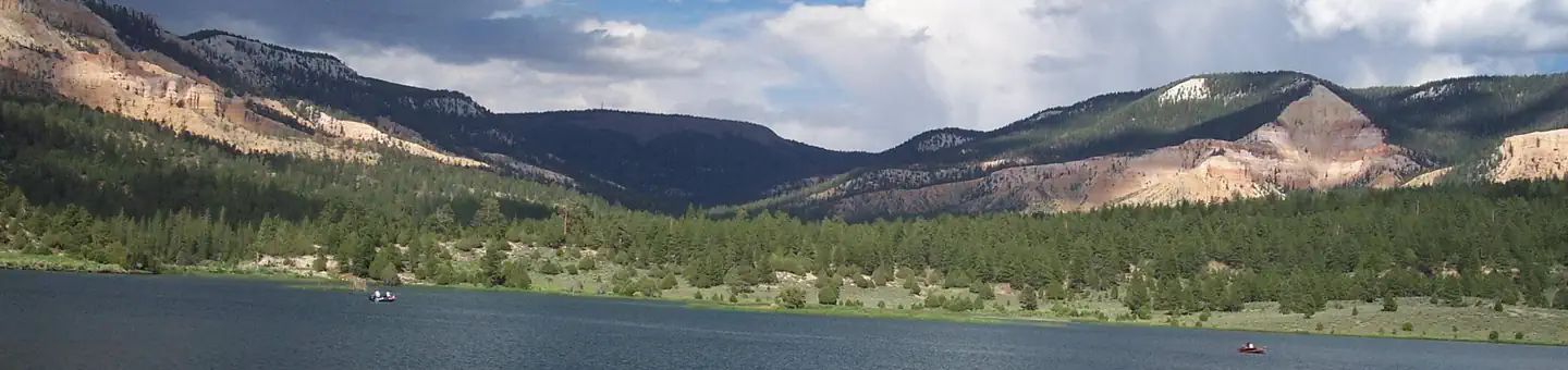
Pine Lake Campground
Pricing varies — check with the operatorCampgroundThe Riverside Ranch
Pricing varies — check with the operatorCampgroundMammoth Dispersed
Pricing varies — check with the operatorCampgroundCliffside Cabins and RV Park
Pricing varies — check with the operatorCampground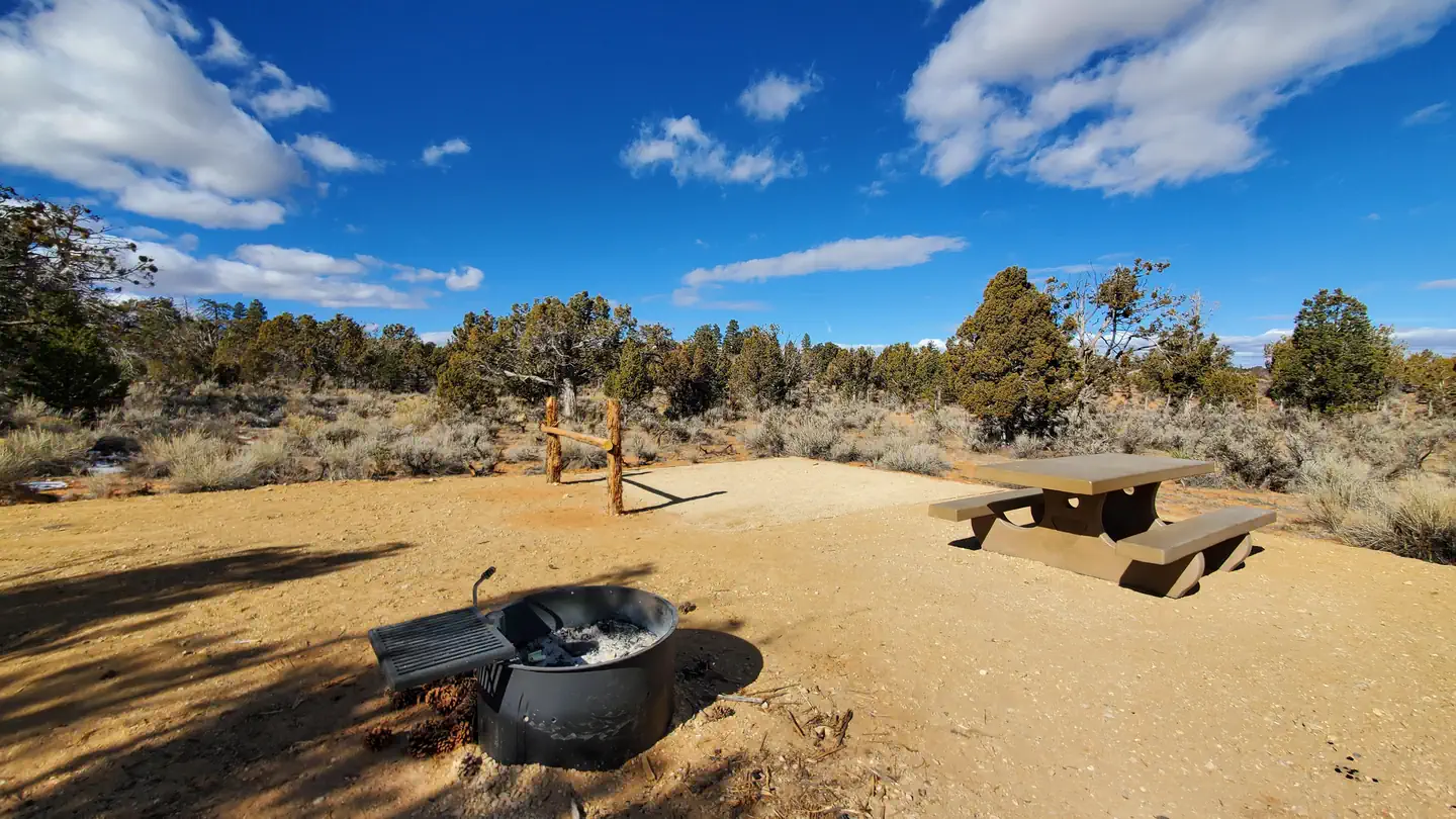
Ponderosa Grove Campground
Pricing varies — check with the operatorCampground
On the books in Utah
Species inventory is state-level — which units actually hold or permit each species varies. Verify unit-specific rules with the state agency linked above.
Official agency resources
Utah Division of Wildlife Resources
- Hunting regulations ↗
https://wildlife.utah.gov/guidebooks
- Draw / lottery ↗
https://wildlife.utah.gov/draw
- GMU map ↗
https://wildlife.utah.gov/maps
- Harvest reporting ↗
https://wildlife.utah.gov/harvest
- Hunter education ↗
https://wildlife.utah.gov/huntereducation
- Buy a license ↗
https://wildlife.utah.gov/licenses
Authoritative source
Outdoors does not publish hunting regulations directly. For current season dates, bag limits, legal weapons, draw deadlines, and license costs in unit Paunsaugunt, go straight to the issuing agency.
Read the Utah agency pageBoundary verified by Outdoors against the agency source on 10/25/2026.