No photos yet
Official sources & verification
Managed by National Recreation Area
Source of truth
- Agency source page
The page our published rules and notes are derived from.
Managing agency
- National Recreation Area
Find offices, alerts, and current orders for this agency.
Verify by phone or mail
- Operator:435-644-1200
- Email:escalante_interagency@blm.gov
- Address:UT
About
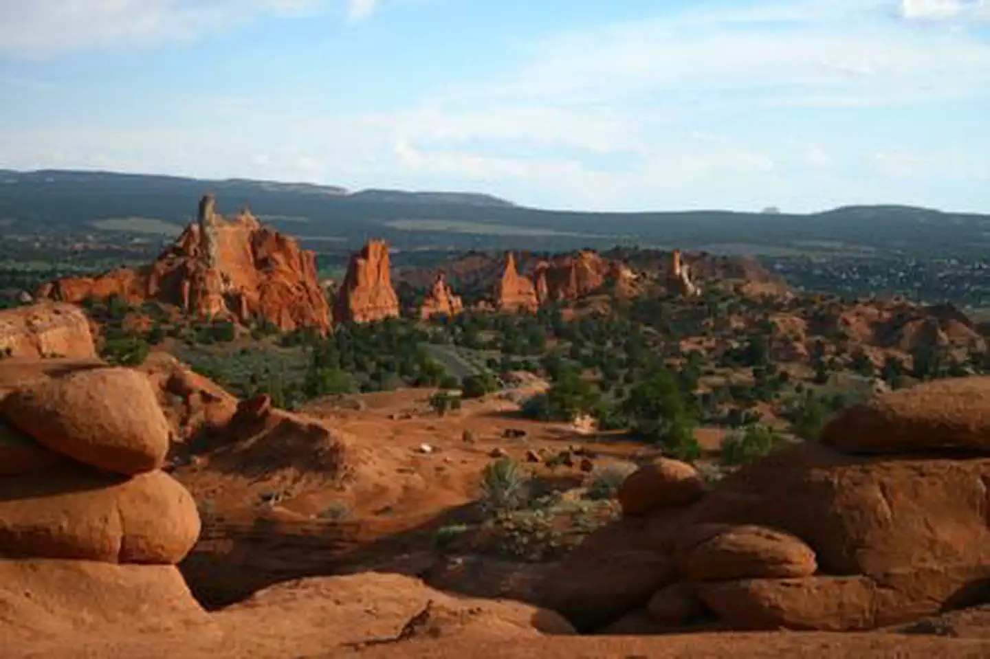
Imported descriptionThe southern part of the WSA includes the north end of The Cockscomb, a north south oriented ridge, prominent in south central Utah. The western portion consists of cliffs and benches dissected by southwesterly trending drainages. Wahweap Creek drains southward for 4 miles in the central part of the WSA. A waterfall on a perennial stream blocks the entrance to Dry Valley Creek Canyon, which remains in its natural condition and may be a relect ecosystem. About 200 acres are within this area, which may have important scientific values.
Source: recreation.gov
Reviews
No reviews yet
Be the first to share your experience and help others plan their visit.
Hunting in this park
Hunting is generally prohibited in this National Park Service unit
Verify current park-specific rules with the National Park Service before planning any hunt. See NPS regulations
Within ~100 miles
Parks near Mud Spring Canyon
Nat'l Recreation Area
Park
Kodachrome Basin State Park
Utah

Nat'l Recreation Area
Park
Grosvenor Arch
Utah
Nat'l Recreation Area
Park
Death Ridge
Utah
Nat'l Recreation Area
Park
Kanab Field Office
Utah
National Monument
Park
Grand Staircase-Escalante National Monument
Utah
1,569 sq mi
recreation area
Park
Paria Hackberry WSA
Utah
Same state
More parks in Utah

Featured
National Park
Park
Arches National Park
Utah
120 sq mi

Featured
National Park
Park
Bryce Canyon National Park
Utah
56 sq mi

Featured
National Park
Park
Zion National Park
Utah
230 sq mi

Nat'l Recreation Area
Park
18 Road - North Fruita Desert
Utah

Nat'l Recreation Area
Park
Anasazi State Park Museum
Utah
Nat'l Recreation Area
Park
Antelope Island State Park
Utah
recreation area
Park
Armijo Route
Utah
National Forest
Park
Ashley National Forest
Utah
2,160 sq mi
Spot an error in our data on Mud Spring Canyon?