Difficult
22.4 mi
Distance
8,517 ft
Elev. Gain
10h 26m
Est. Time
0.0
0 Reviews
About This Trail
The trail has been temporarily closed due to COVID-19. The park's website has up to date information.
Trail Details
Loop
Route Type
Dirt
Surface
No Dogs
Dog Policy
Yes
Kid Friendly
No
Permit Required
Elevation Profile
Min:1,211 ft
Max:2,472 ft
2,596 ft
2,596 ft
Reviews
No reviews yet
Be the first to share your experience and help others plan their visit.
Trail Conditions
Trail Conditions
Unknown
Updated Unknown
No recent condition reports. Be the first to share what you see on the trail.
Nearby Trails
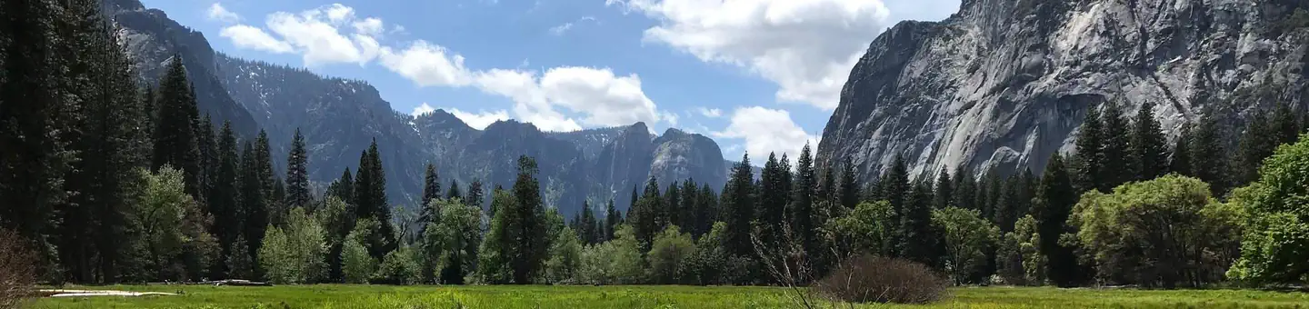
More trails near Yosemite Valley South Loop [CLOSED]![Yosemite Valley South Loop [CLOSED]](https://www.nps.gov/common/uploads/structured_data/3C873CC3-1DD8-B71B-0B076FC2806DF140.jpg?width=800&quality=80)
In this park
Other trails in Yosemite National Park

Half Dome
California
3.2 km1,463 mgain
Expert

Mirror Lake Loop
California
6.2 km30 mgain
Easy
Yosemite Falls Trail
California
4.8 km823 mgain
Difficult

Four Mile Trail
California
7.7 km975 mgain
Difficult
Upper Yosemite Falls Trail
California
11.6 km1,575 mgain
Difficult
Four Mile Trail
California
14.8 km2,058 mgain
Difficult
Stay nearby
Campgrounds near this trail
Similar length
Similar trails in California
Mount Whitney Trail
California
36.2 km4,357 mgain
Difficult
Mount Baldy via Devil's Backbone Trail
California
22.5 km1,798 mgain
Difficult
Big Pine Lakes Trail
California
23.0 km1,245 mgain
Difficult
Art Smith Trail
California
19.6 km1,044 mgain
Difficult
Los Penasquitos Canyon (from Lopez Canyon)
California
18.2 km338 mgain
Easy
Heather Lake, Emerald Lake, and Pear Lake Trail via Watchtower and Pear Lake Trails
California
19.0 km1,145 mgain
Difficult