Moderate
Yosemite Valley Loop Trail Walk [CLOSED]
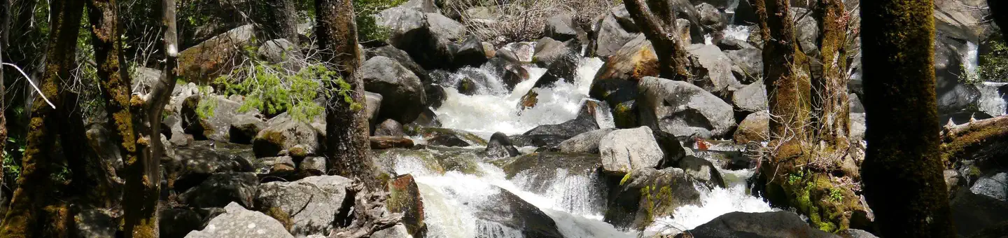
Yosemite Valley, California
27.1 mi
Distance
5,374 ft
Elev. Gain
9h 48m
Est. Time
0.0
0 Reviews
About This Trail
Start at the westernmost point on the loop trail in the valley. You can take a short walk to Pohono Bridge then take a tour of the west end of the valley to the base of El-Continent. The wide and paved trails in the valley are not the only quality trails in the area. There are also spots that are older than 50 years old, but you can see them from the paved trail. It's great in the valley during the year.
Trail Details
Loop
Route Type
Dirt
Surface
No Dogs
Dog Policy
Yes
Kid Friendly
No
Permit Required
Elevation Profile
Min:1,194 ft
Max:1,286 ft
1,638 ft
1,638 ft
Reviews
No reviews yet
Be the first to share your experience and help others plan their visit.
Trail Conditions
Trail Conditions
Unknown
Updated Unknown
No recent condition reports. Be the first to share what you see on the trail.
Tunnel View to Dewey Point [CLOSED]
15.0 km
Difficult
![Tunnel View to Dewey Point [CLOSED]](https://www.nps.gov/common/uploads/structured_data/3C873CC3-1DD8-B71B-0B076FC2806DF140.jpg?width=800&quality=80)
Tunnel View to Dewey Point [CLOSED]
15.0 km5.0
Difficult
Stanford Point Trail [CLOSED]
13.4 km
Difficult
The Pohono Trail from Inspiration Point [CLOSED]
36.2 km
Difficult
West Valley Loop Trail [CLOSED]
10.6 km
Easy
Old Big Oak Flat Access Road [CLOSED]
6.6 km
Difficult
In this park
Other trails in Yosemite National Park

Half Dome
California
3.2 km1,463 mgain
Expert

Mirror Lake Loop
California
6.2 km30 mgain
Easy
Yosemite Falls Trail
California
4.8 km823 mgain
Difficult

Four Mile Trail
California
7.7 km975 mgain
Difficult
Upper Yosemite Falls Trail
California
11.6 km1,575 mgain
Difficult
Four Mile Trail
California
14.8 km2,058 mgain
Difficult
Stay nearby
Campgrounds near this trail
Dewey Point - Yosemite Backcountry Site
1.3 mi away · CA
Reservable
Camp 4
3.8 mi away · CA
Reservable
Bridalveil Creek Campground - TEMP CLOSED until 2023
4.4 mi away · CA
Bridalveil Creek Campground - TEMP CLOSED until 2023
4.4 mi away · CA
Bridalveil Creek Campground - TEMP CLOSED until 2023
4.4 mi away · CA
Bridalveil Creek Campground
4.4 mi away · CA
Similar length
Similar trails in California
Mount Whitney Trail
California
36.2 km4,357 mgain
Difficult
Mount Baldy via Devil's Backbone Trail
California
22.5 km1,798 mgain
Difficult
Big Pine Lakes Trail
California
23.0 km1,245 mgain
Difficult
Happy Isles, Vernall Falls, Half Dome, Tenaya Lake, and Mirror Lakes Loop [CLOSED]
California
48.6 km3,379 mgain
Difficult
Heaton Flat Trail to Iron Mountain
California
29.0 km2,267 mgain
Difficult
Sespe River Trail to Willett Hot Springs
California
31.9 km1,093 mgain
Moderate