Status unknown — verify before visiting
We don't have current condition data for this trail. Check with the land manager before you go.
10.7 mi
Distance
5,023 ft
Elev. Gain
5h 32m
Est. Time
Out & Back
Route Type
Expert
Difficulty
About This Trail
Trail Conditions
Trail Conditions
We have no current condition data for this trail. Check with the operator before you go, and submit a report below if you've been recently.
No recent condition reports. Be the first to share what you see on the trail.
Elevation Profile
Trail Details
- Route Type
- Out & Back
- Surface
- Dirt
Official sources & verification
We don't have curated agency sources for this trail in our cache yet. Outdoors is not the permitting authority — confirm conditions, permits, and access with the managing agency before you go. If you know who manages this trail, please tell us.
Reviews
No reviews yet
Be the first to share your experience and help others plan their visit.
Legacy import — verify before navigating
Path geometry came from our pre-launch legacy database. Routes have not yet been re-verified against the operator and may differ from the actual trail.
Hunt context
This trail crosses hunting units
During hunting seasons, wear blaze orange and check regulations — see the Idaho hunting page
Nearby Trails
More trails near Wind River Trail
Stay nearby
Campgrounds near this trail
 Reservable
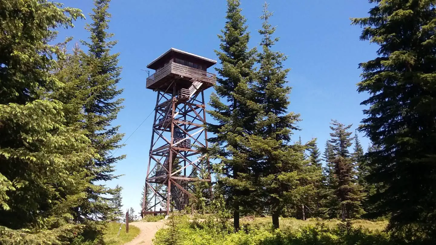
Lookout Butte Lookout
4.2 mi away · ID
Nez Perce National Forest Van Creek Site
9.6 mi away · ID
Spring Bar Campground
9.7 mi away · ID
Lake Creek Dispersed Camping
10.2 mi away · ID
Reservable
The RV Landing at Carlson Ranch
11.6 mi away · ID
Payette National Forest Jeanette Campground
12.1 mi away · ID
Similar length
Similar trails in Idaho
Stack Rock Trail
Idaho

Sawtooth Lake
Idaho
Scotchman Peak Trail
Idaho
Hulls Gulch Nature Trail
Idaho
Upper Palisades Lake Trail
Idaho
Polecat Loop Trail
Idaho