Status unknown — verify before visiting

We don't have current condition data for this trail. Check with the land manager before you go.
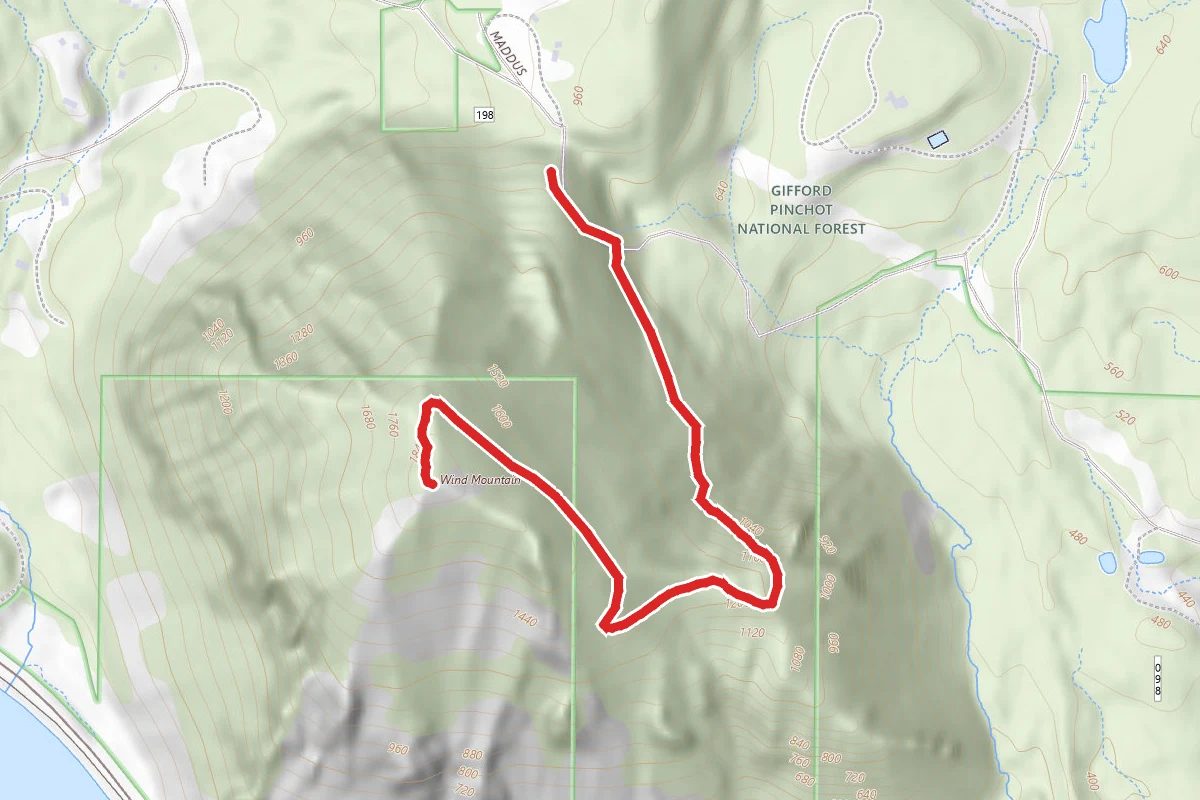
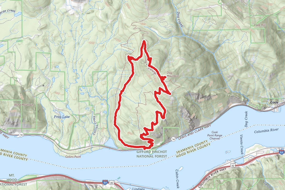
Wind Mountain Trail route map
ModerateOut and Back

Wind Mountain Trail

Carson, Washington

2.3 mi

Distance

1,211 ft

Elev. Gain

1h 20m

Est. Time

Out & Back

Route Type

Moderate

Difficulty

About This Trail

Imported description
From the parking area walk down the gravel road a shot ways till you reach the trailhead on the right. The trail head is not marked by the name of the hike but a sign warning against spreading seeds. This is a moderately steep hike with an average grade of 14%. The trail is not well maintained with plenty of fallen logs and some parts of the trail that partially slid out. However there is no risk of sliding down the hill, it is a safe hike. At the summit there are nice views of neighboring Dog Mountain and the town of Carson. There is a map located on top showing a small loop at the summit that shows the viewpoints. It's short distance to a great lookout makes this a great family destination, especially when one considers the history From the trailhead the trail should be easy to spot on the South side of the dirt road turnout. The trail almost immediately turns eastward as it gains elevation steadily for a quarter mile or so. Watch for a spur trail to the left just before the main trail turns southward. The spur decends sharply down to a to a great East-facing viewpoint. Leash pets and take little ones by the hand, as there are a few sharp drop-offs. Return to the main trail as it again starts climbing moderately steeply for the next mile or so. You will cross a talus slope a few times as the long sweeping switchbacks cross it. Eventually the trail levels out to a forest with a high canopy. You are nearing the summit at this point. Continue another 1/4 mile and you'll come across a large sign describing the cultural and historical significance of this mountain as a spirit quest site. The sign informs you that sections of the summit are closed to hikers: This archaelogical site is extremely fragile. Just walking over it will damage important cultural features. Therefore, the USDA Forest Service has closed the site to hikers. All visitors must stay on the trail or within designated areas shown on the map. It isn't long before you reach the summit. The summit does not have a 360 view, but you'll find the designated viewing areas afford you spectactular views to the East and to the West. Looking East you have a great perspective of Dog Mountain. To the south across the Columbia River you will see Mitchell Point. Following the horizon toward the East you see Mount Defiance, the highest mountain in the gorge. Looking West down the Columbia River you might spot Indian Point, a rock sphire along the Oregon side. On the Washingon side, due West you will be Table Mountain and Greenleaf Peak. On a clear day, look to your Northwest and spot Mount Saint Helens.

Trail Conditions

Trail Conditions

Unknown

We have no current condition data for this trail. Check with the operator before you go, and submit a report below if you've been recently.

No recent condition reports. Be the first to share what you see on the trail.

Elevation Profile

Min:256 ft
Max:569 ft
369 ft
369 ft
256 ft360 ft465 ft569 ft0.0 mi0.6 mi1.2 mi1.7 mi2.3 mi

Trail Details

Route Type
Out & Back
Surface
Dirt

Official sources & verification

We don't have curated agency sources for this trail in our cache yet. Outdoors is not the permitting authority — confirm conditions, permits, and access with the managing agency before you go. If you know who manages this trail, please tell us.

Reviews

No reviews yet

Be the first to share your experience and help others plan their visit.

Legacy import — verify before navigating

Path geometry came from our pre-launch legacy database. Routes have not yet been re-verified against the operator and may differ from the actual trail.

Hunt context

This trail crosses hunting units

During hunting seasons, wear blaze orange and check regulations — see the Oregon hunting page

Spot an error in our data on Wind Mountain Trail?