10.8 mi
Distance
3,678 ft
Elev. Gain
4h 24m
Est. Time
Point to Point
Route Type
Moderate
Difficulty
About This Trail
Imported descriptionTrail Conditions
Trail Conditions
We have no current condition data for this trail. Check with the operator before you go, and submit a report below if you've been recently.
No recent condition reports. Be the first to share what you see on the trail.
Elevation Profile
Trail Details
- Route Type
- Point to Point
- Surface
- Dirt
Official sources & verification
We don't have curated agency sources for this trail in our cache yet. Outdoors is not the permitting authority — confirm conditions, permits, and access with the managing agency before you go. If you know who manages this trail, please tell us.
Reviews
No reviews yet
Be the first to share your experience and help others plan their visit.
Legacy import — verify before navigating
Path geometry came from our pre-launch legacy database. Routes have not yet been re-verified against the operator and may differ from the actual trail.
Forest Service Road N22 from City Creek Forest Station
Harrison Mountain

Harrison Mountain
McKinley Firebreak Trail
Little Sand Truck Trail [PRIVATE PROPERTY]
Little Sand Truck Trail [PRIVATE PROPERTY]
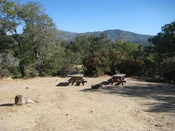
Stay nearby
Campgrounds near this trail

Similar length
Similar trails in California
.jpg/1280px-Lost_Horse_Mine_Loop_Trail_(16650877030).jpg)
Lost Horse Mine Loop
California
Potato Chip Rock via Mt. Woodson Trail
California
Mission Peak Loop from Stanford Avenue Staging Area
California
Upper Yosemite Falls Trail
California
Mount Tallac Trail
California
Mission Peak from Ohlone College
California