Status unknown — verify before visiting

We don't have current condition data for this trail. Check with the land manager before you go.

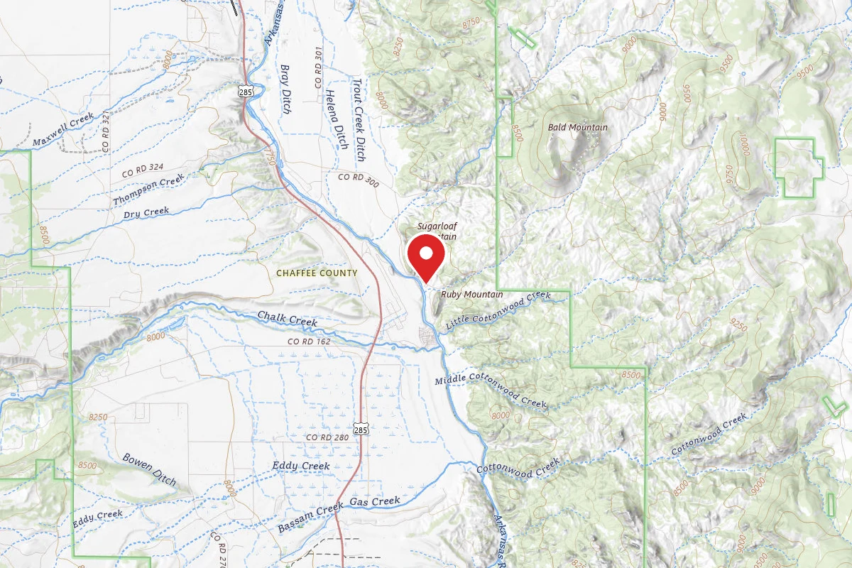
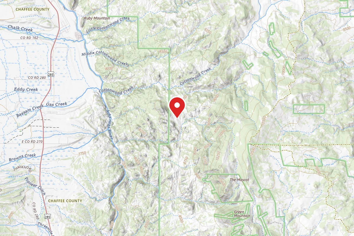
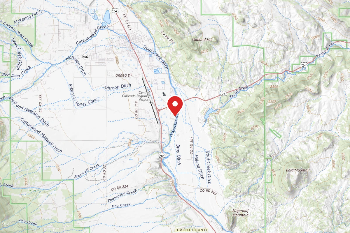
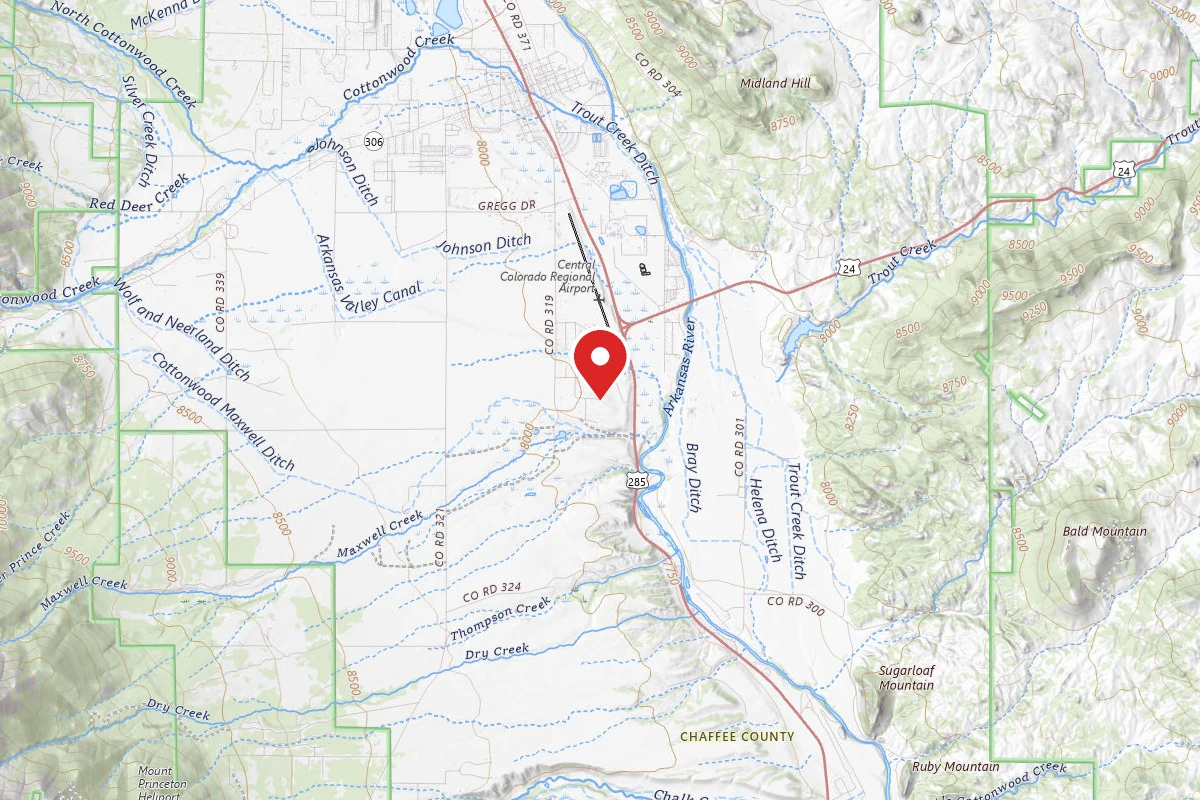
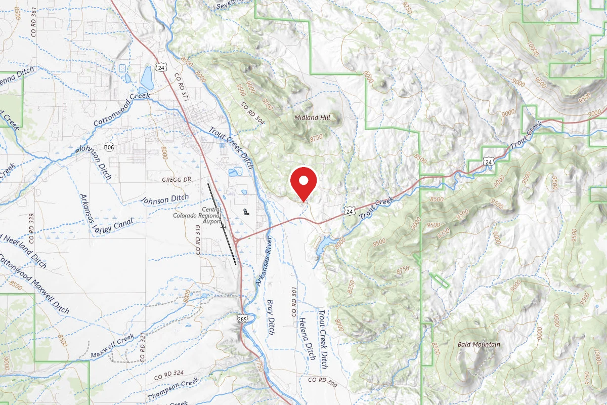
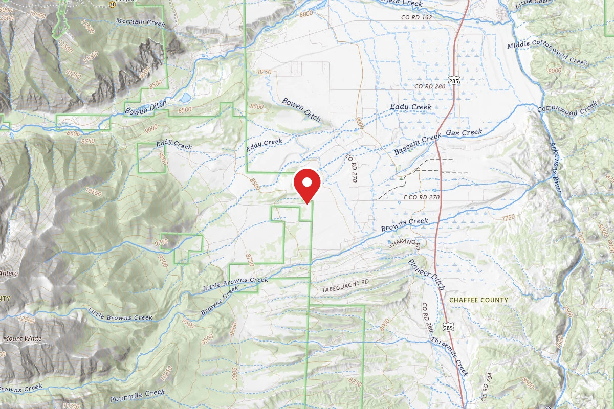
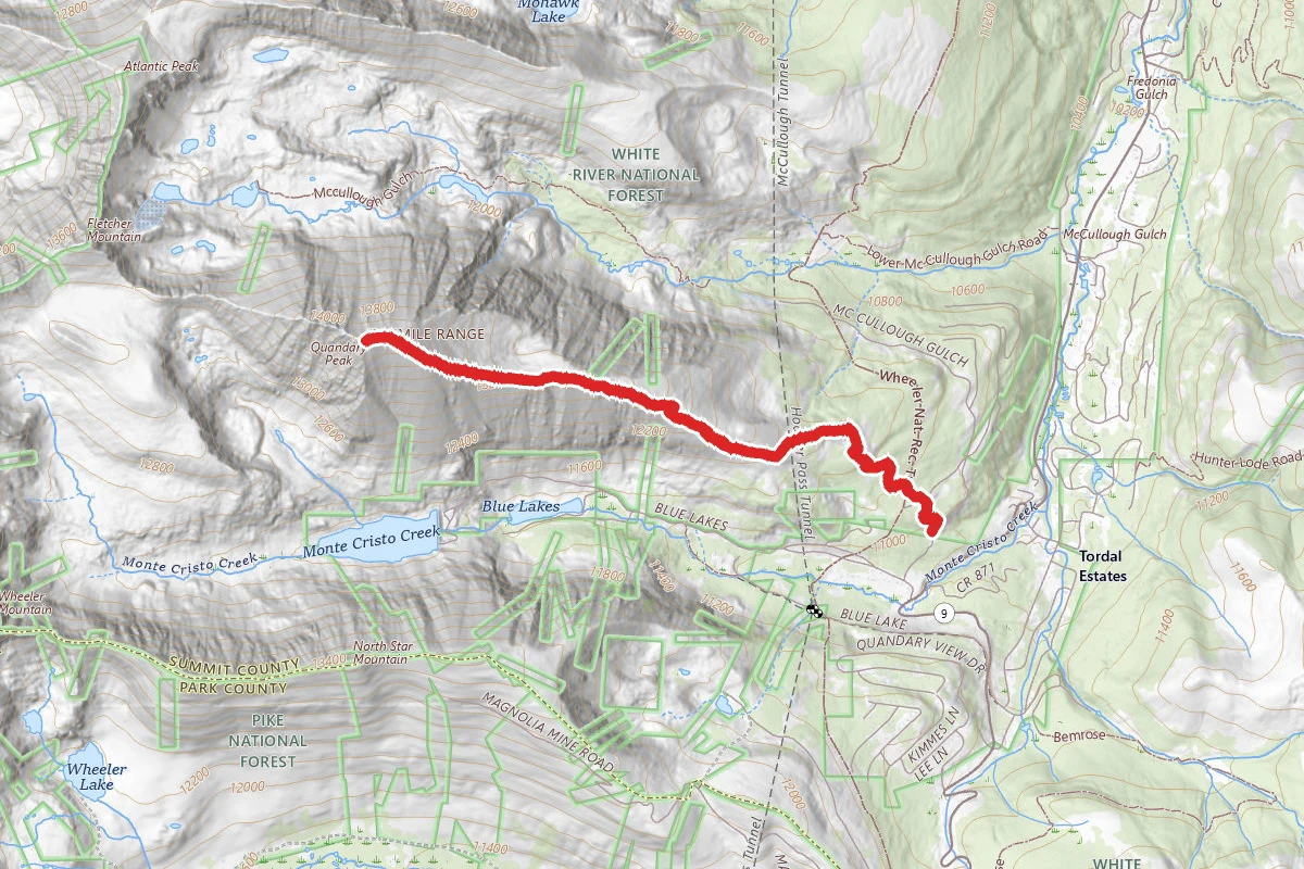
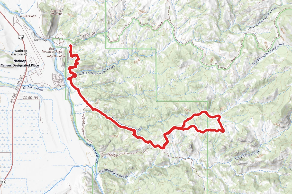
Turret Trail and Catkin Gulch Loop Trail route map
DifficultOut and Back

Turret Trail and Catkin Gulch Loop Trail

Nathrop, Colorado

11.5 mi

Distance

2,513 ft

Elev. Gain

4h 45m

Est. Time

Out & Back

Route Type

Difficult

Difficulty

About This Trail

Imported description
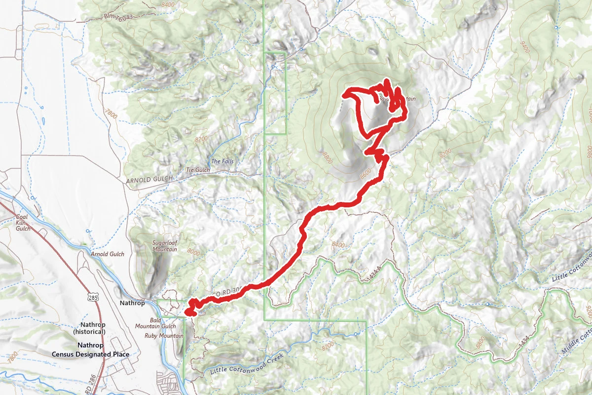
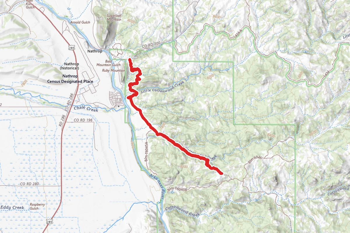
This is a combination of the Turret Trail and the Catkin Gulch Trail in Browns Canyon National Monument. The rock formations and views are spectacular - hiking is moderate with lots of ups and downs though none are long. These trails are relatively unused and become hard to follow at times. Starting at the Ruby Mountain Recreation Area trailhead, the trail meanders through the rocks, giving great views of the Collegiate Peaks and the valley. About 2 miles in your reach the juncture for the River Bench trail - there is a sign for this juncture. Staying on the Turret trail, you go up to a very small saddle, then down to a small wash. The trail follows this small wash and in this area it becomes indistinct at times. Stay in the wash, watching for two cairns on the right side of it. These cairns are 1.1 miles from the River Bench juncture and about .7 miles up the wash. The trail leaves the wash at the cairns. Several switchbacks gain some elevation. Next sign you reach is for a juncture for the River Access trail. Once again staying on the Turret trail, you follow the trail to the next sign for the juncture for the Catkin Gulch Loop trail. Following this trail, you eventually reach a sign that indicates you have actually reached the loop. At this point you can go left (clockwise) or right (counterclockwise). After a while the trail drops down into a gulch which you can take to Catkin Gulch. Here the trail becomes indistinct again. Follow the gulch to the right. After a bit you will come to a barbed wire fence across the gulch indicating this is a wilderness study area. Look for a hiker access point in the fence - you don't have to climb it. Again, head up the gulch. After a bit you will reach a definite fork in the gulch where two gulches feed in. Stay to the right. Soon thereafter the trail goes up out of the gulch on the right side - you are now on the return side of the loop. Following this trail is a little tough at times as it becomes almost nothing. Eventually you will make it back to the loop sign.

Trail Conditions

Trail Conditions

Unknown

We have no current condition data for this trail. Check with the operator before you go, and submit a report below if you've been recently.

No recent condition reports. Be the first to share what you see on the trail.

Elevation Profile

Min:2,332 ft
Max:2,638 ft
766 ft
766 ft
2,332 ft2,434 ft2,536 ft2,638 ft0.0 mi2.9 mi5.8 mi8.6 mi11.5 mi

Trail Details

Route Type
Out & Back
Surface
Dirt

Official sources & verification

We don't have curated agency sources for this trail in our cache yet. Outdoors is not the permitting authority — confirm conditions, permits, and access with the managing agency before you go. If you know who manages this trail, please tell us.

Reviews

No reviews yet

Be the first to share your experience and help others plan their visit.

Legacy import — verify before navigating

Path geometry came from our pre-launch legacy database. Routes have not yet been re-verified against the operator and may differ from the actual trail.
Hunt context

This trail crosses hunting units

During hunting seasons, wear blaze orange and check regulations — see the Colorado hunting page

Spot an error in our data on Turret Trail and Catkin Gulch Loop Trail?