Moderate
Tuolumne Meadow to Cathedral Pass [CLOSED]
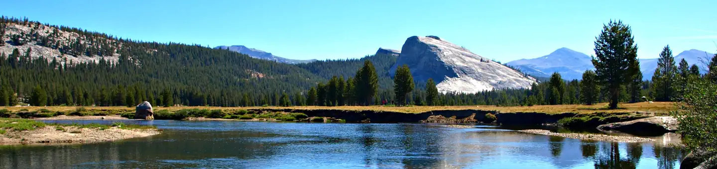
Yosemite Valley, California
8 mi
Distance
1,781 ft
Elev. Gain
3h 26m
Est. Time
0.0
0 Reviews
About This Trail
The trail has been temporarily closed due to the incident. You can see up to date information on the park's website.
Trail Details
Out & Back
Route Type
Dirt
Surface
No Dogs
Dog Policy
Yes
Kid Friendly
No
Permit Required
Elevation Profile
Min:2,617 ft
Max:2,965 ft
543 ft
543 ft
Reviews
No reviews yet
Be the first to share your experience and help others plan their visit.
Trail Conditions
Trail Conditions
Unknown
Updated Unknown
No recent condition reports. Be the first to share what you see on the trail.
![Echo Ridge & Echo Peaks [CLOSED]](https://www.nps.gov/common/uploads/structured_data/3C873CC3-1DD8-B71B-0B076FC2806DF140.jpg?width=800&quality=80)
Echo Ridge & Echo Peaks [CLOSED]
13.2 km5.0
Moderate
Echo Ridge & Echo Peaks [CLOSED]
13.2 km
Moderate
Cathedral Lakes Trail [CLOSED]
13.8 km
Moderate
John Muir to Clouds Rest to Mist Trail [CLOSED]
39.9 km
Moderate
Tuolumne Meadows to Tenaya Lake via Pacific Crest and Glen Aulin Trails [CLOSED]
19.2 km
Moderate
Tuolumne River Trail [CLOSED]
5.5 km
Easy
In this park
Other trails in Yosemite National Park

Half Dome
California
3.2 km1,463 mgain
Expert

Mirror Lake Loop
California
6.2 km30 mgain
Easy
Yosemite Falls Trail
California
4.8 km823 mgain
Difficult

Four Mile Trail
California
7.7 km975 mgain
Difficult
Upper Yosemite Falls Trail
California
11.6 km1,575 mgain
Difficult
Four Mile Trail
California
14.8 km2,058 mgain
Difficult
Stay nearby
Campgrounds near this trail
 Reservable
Tuolumne Meadows Campground
1.8 mi away · CA
Reservable
Tuolumne Meadows Campground - TEMP CLOSED through 2023
2.3 mi away · CA
- Reservable
Tuolumne Meadows Lodge
2.7 mi away · CA
Upper Lyell Canyon Footbridge Backcountry Campsite
4.4 mi away · CA
Young Lakes
5 mi away · CA
Vogelsang High Sierra Camp
5.8 mi away · CA
Similar length
Similar trails in California
Four Mile Trail
California
7.7 km975 mgain
Difficult
.jpg/1280px-Lost_Horse_Mine_Loop_Trail_(16650877030).jpg)
Lost Horse Mine Loop
California
14.0 km152 mgain
Moderate
Potato Chip Rock via Mt. Woodson Trail
California
12.2 km1,108 mgain
Difficult
Iron Mountain Trail
California
8.4 km435 mgain
Moderate
Mission Peak Loop from Stanford Avenue Staging Area
California
9.3 km686 mgain
Difficult
Echo Mountain via Sam Merrill Trail
California
8.7 km1,194 mgain
Moderate