Status unknown — verify before visiting
We don't have current condition data for this trail. Check with the land manager before you go.
3.0 mi
Distance
883 ft
Elev. Gain
1h 25m
Est. Time
Loop
Route Type
Moderate
Difficulty
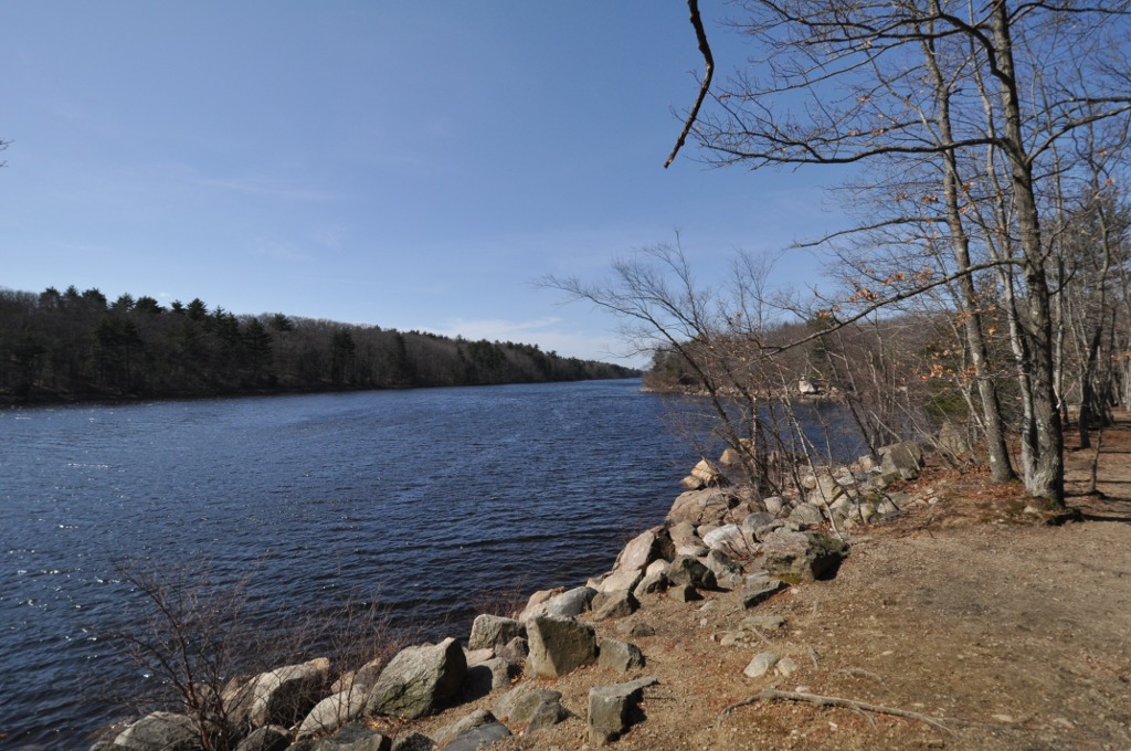
About This Trail
Imported descriptionTrail Conditions
Trail Conditions
We have no current condition data for this trail. Check with the operator before you go, and submit a report below if you've been recently.
No recent condition reports. Be the first to share what you see on the trail.
Elevation Profile
Trail Details
- Route Type
- Loop
- Surface
- Dirt
Official sources & verification
We don't have curated agency sources for this trail in our cache yet. Outdoors is not the permitting authority — confirm conditions, permits, and access with the managing agency before you go. If you know who manages this trail, please tell us.
Reviews
No reviews yet
Be the first to share your experience and help others plan their visit.
Legacy import — verify before navigating
Path geometry came from our pre-launch legacy database. Routes have not yet been re-verified against the operator and may differ from the actual trail.
Nearby Trails
More trails near Tom Leary Trail
Stay nearby
Campgrounds near this trail
Reservable
The Quarry Campground
13.3 mi away · CT
Reservable
Village Green Family Campground
13.4 mi away · MA
Del-Aire Campground
13.5 mi away · CT
Del-aire Camping Resort
13.5 mi away · CT
Reservable
Quinebaug Cove Campground
14.3 mi away · MA
Reservable
The Woodland's Edge Glampsite and Hot Tubs
15.4 mi away · MA
Similar length
Similar trails in Massachusetts
Great Blue Hill via Skyline Trail
Massachusetts
Skyline Trail Loop
Massachusetts
Mount Watatic and Nutting Hill via Wapack Trail
Massachusetts
Lynn Woods Reservation
Massachusetts
Noanet Woodlands Reservation
Massachusetts

Mount Norwottuck
Massachusetts