Status unknown — verify before visiting

We don't have current condition data for this trail. Check with the land manager before you go.

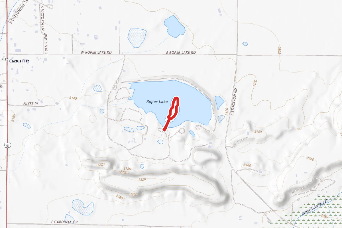
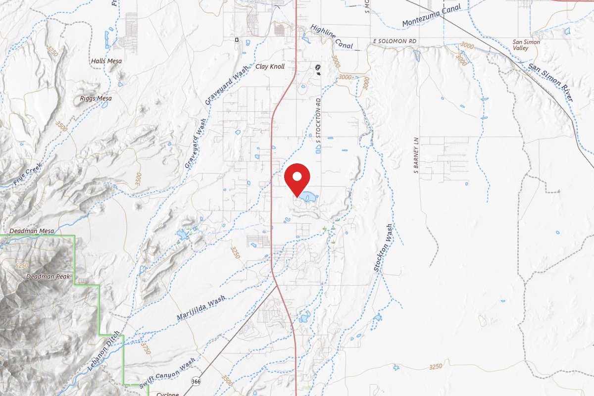
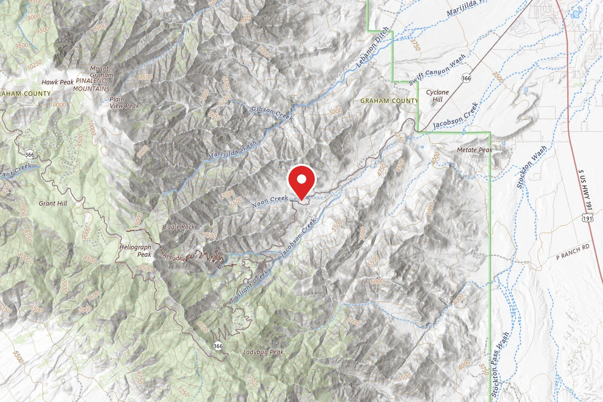
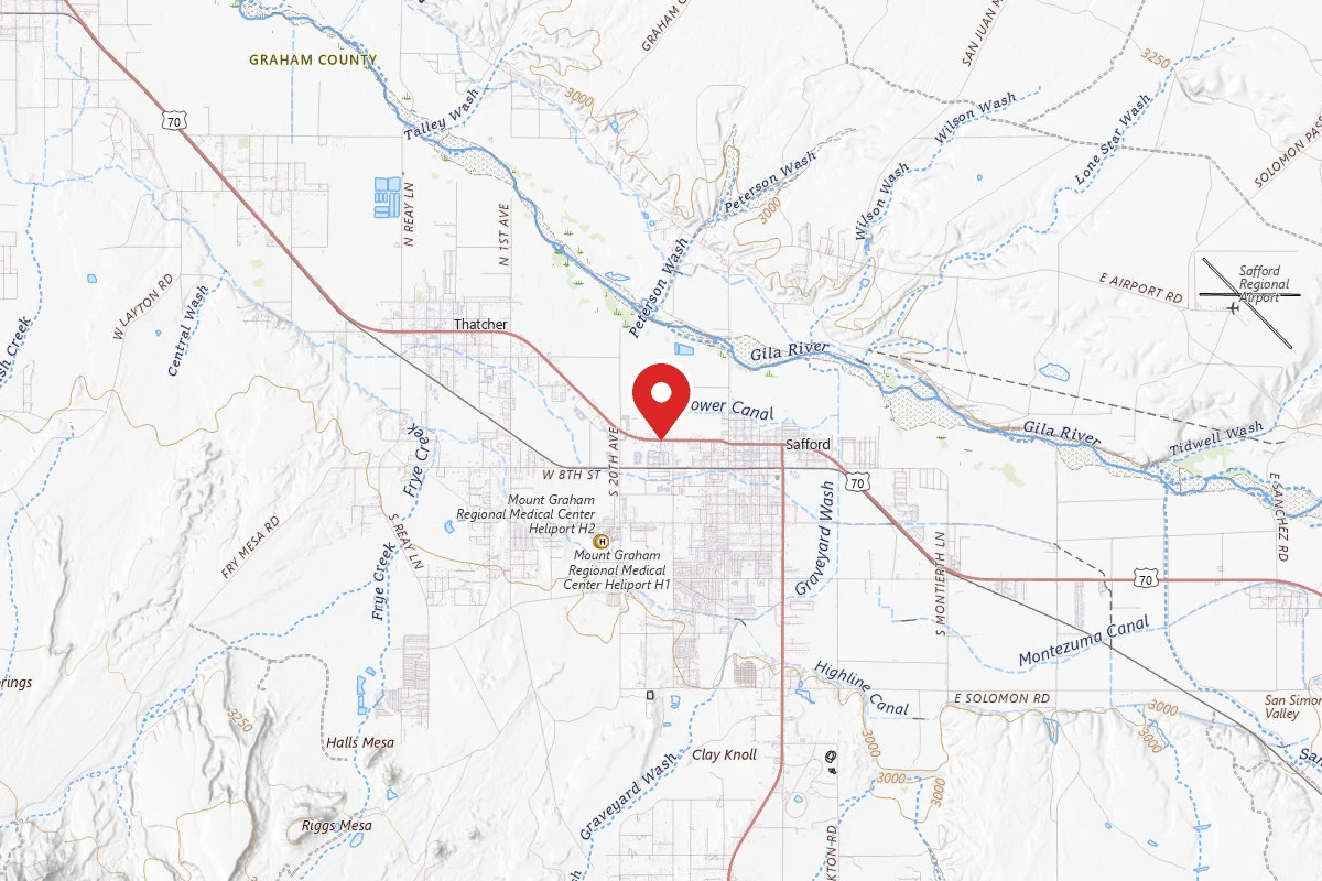
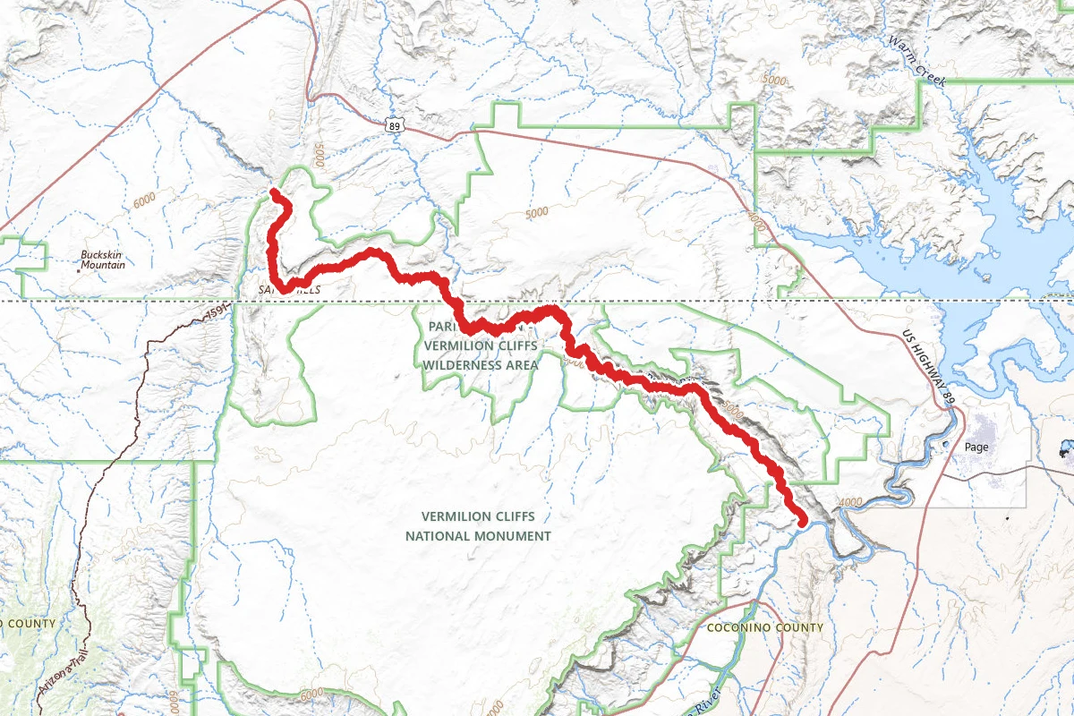
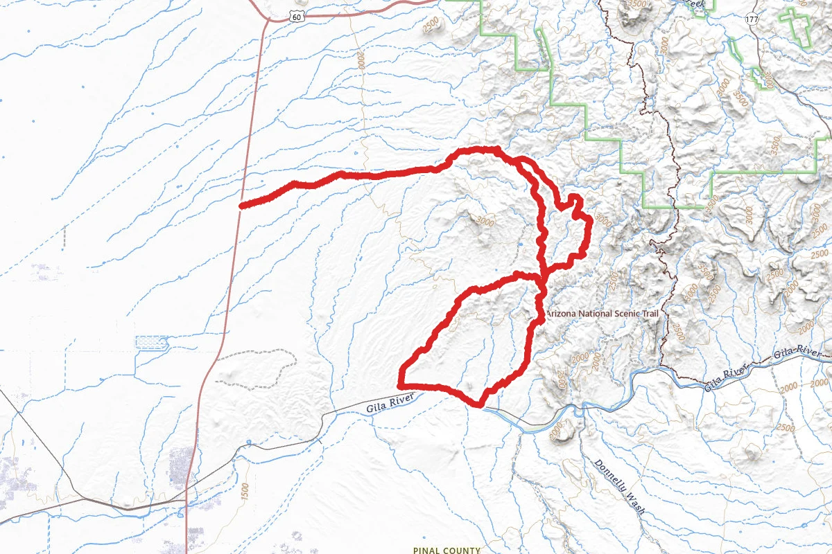
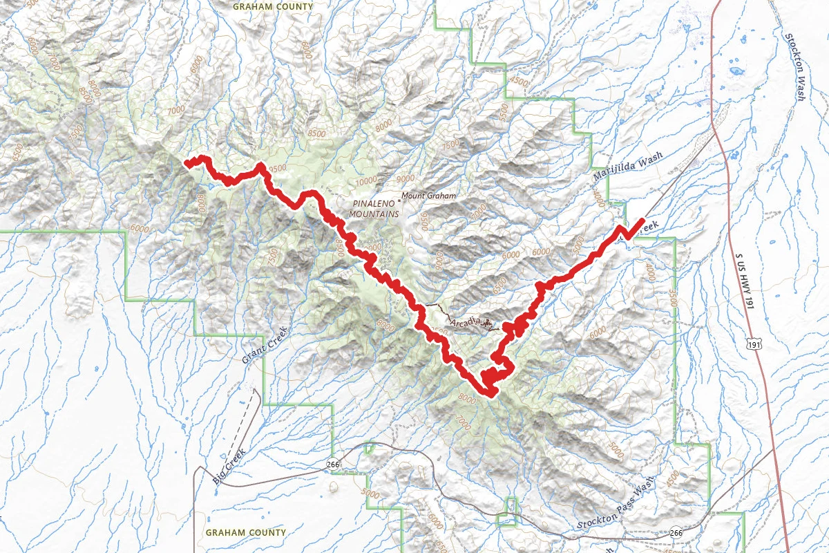
Swift Trail Scenic Drive route map
ExpertOut and Back

Swift Trail Scenic Drive

Safford, Arizona

69.2 mi

Distance

15,988 ft

Elev. Gain

27h 51m

Est. Time

Out & Back

Route Type

Expert

Difficulty

About This Trail

Imported description
Swift Trail Scenic Drive starts in the desert valley and climbs Mt. Graham to dense forest and cool temps compared to the valley. The highway, beginning 7 miles south of Safford, shoots straight through the desert scrubland toward the Pinaleno Mountains and the sky island of lush, forested mountain peak rising from the desert. The sweeping parkway quickly gives way to dramatic switchbacks and tight turns as it begins to climb the diverse mountains, home to 10,720-foot Mount Graham, the tallest peak in the range and the third tallest in Arizona. In less than 35 miles, travelers find themselves about 6,000 feet higher and 20 degrees cooler than when they started from desert to spruce, and everything else in between, in an hour-and-a-half. But this stunning drive deserves far more than 90 minutes. Travelers should plan at least four hours for the 72-mile round trip. From November 15 to April 15, the Forest Service closes the top of the Swift Trail near Hospital Flat, about 22 miles from US Route 191, due to winter weather. At the junction of State 366 and US 191, motorists should reset their odometers to better pinpoint destinations along the trail. At about 3,200 feet, the area around the junction thrives with the resilient plants that are signatures of the desert: paloverdes trees, ocotillo, prickly pear and saguaro cacti. But the scenery outside the car window rapidly changes as the road heads into the peaks. About 4 miles into the drive, the parkway enters Coronado National Forest and the scrub gives way to Sonoran grassland. The gently rolling hills change to cliffs and canyons. A dirt road turns off the parkway around mile 6, leading 1 mile to Jacobson Overlook, an impressive panoramic view of the Gila River Valley. Sage and dense stands of oak now cover the steep slopes alongside the road, though prickly pear, yuccas and smooth, red-barked manzanitas still stand alongside them.

Trail Conditions

Trail Conditions

Unknown

We have no current condition data for this trail. Check with the operator before you go, and submit a report below if you've been recently.

No recent condition reports. Be the first to share what you see on the trail.

Elevation Profile

Min:983 ft
Max:2,943 ft
4,873 ft
4,873 ft
983 ft1,636 ft2,290 ft2,943 ft0.0 mi17.3 mi34.6 mi51.9 mi69.2 mi

Trail Details

Route Type
Out & Back
Surface
Dirt

Official sources & verification

We don't have curated agency sources for this trail in our cache yet. Outdoors is not the permitting authority — confirm conditions, permits, and access with the managing agency before you go. If you know who manages this trail, please tell us.

Reviews

No reviews yet

Be the first to share your experience and help others plan their visit.

Legacy import — verify before navigating

Path geometry came from our pre-launch legacy database. Routes have not yet been re-verified against the operator and may differ from the actual trail.
Hunt context

This trail crosses hunting units

During hunting seasons, wear blaze orange and check regulations — see the Arizona hunting page

Spot an error in our data on Swift Trail Scenic Drive?