Status unknown — verify before visiting

We don't have current condition data for this trail. Check with the land manager before you go.

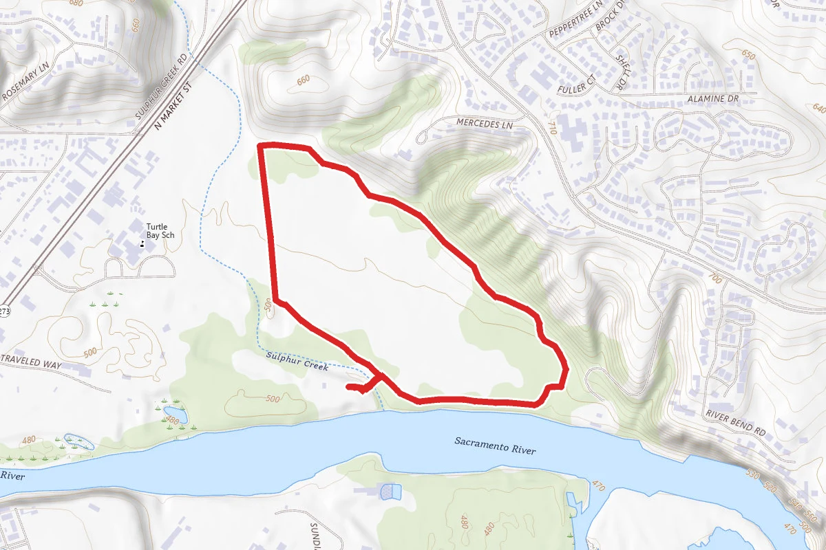
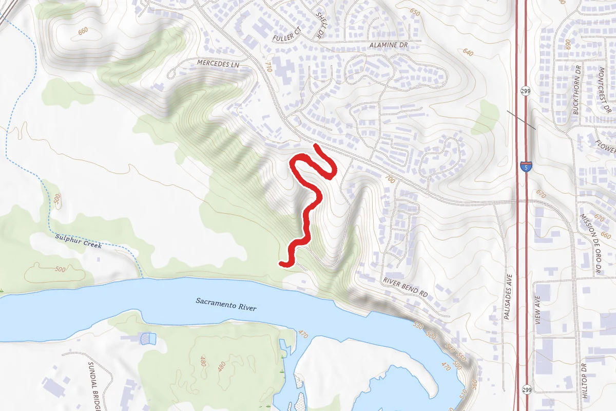
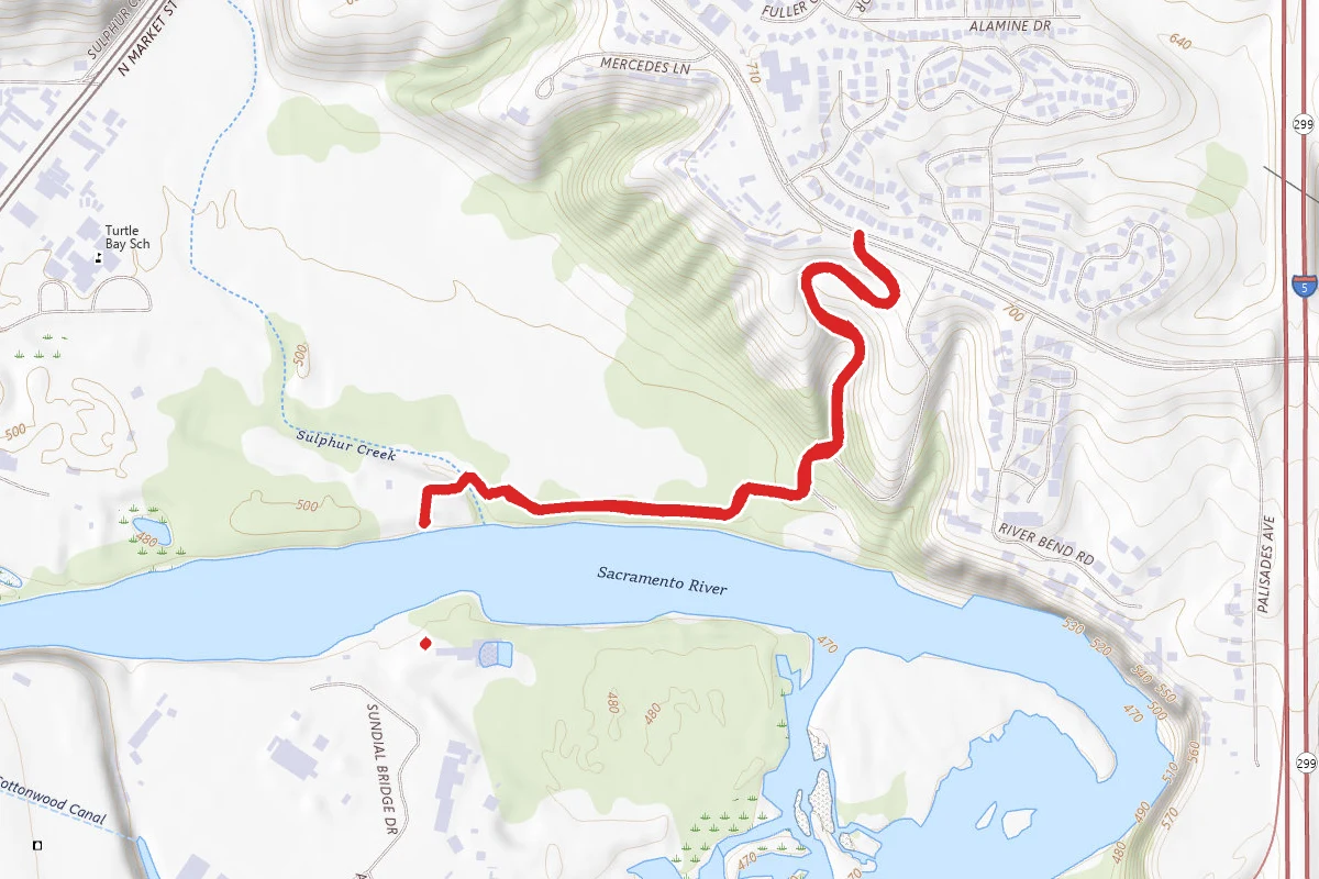
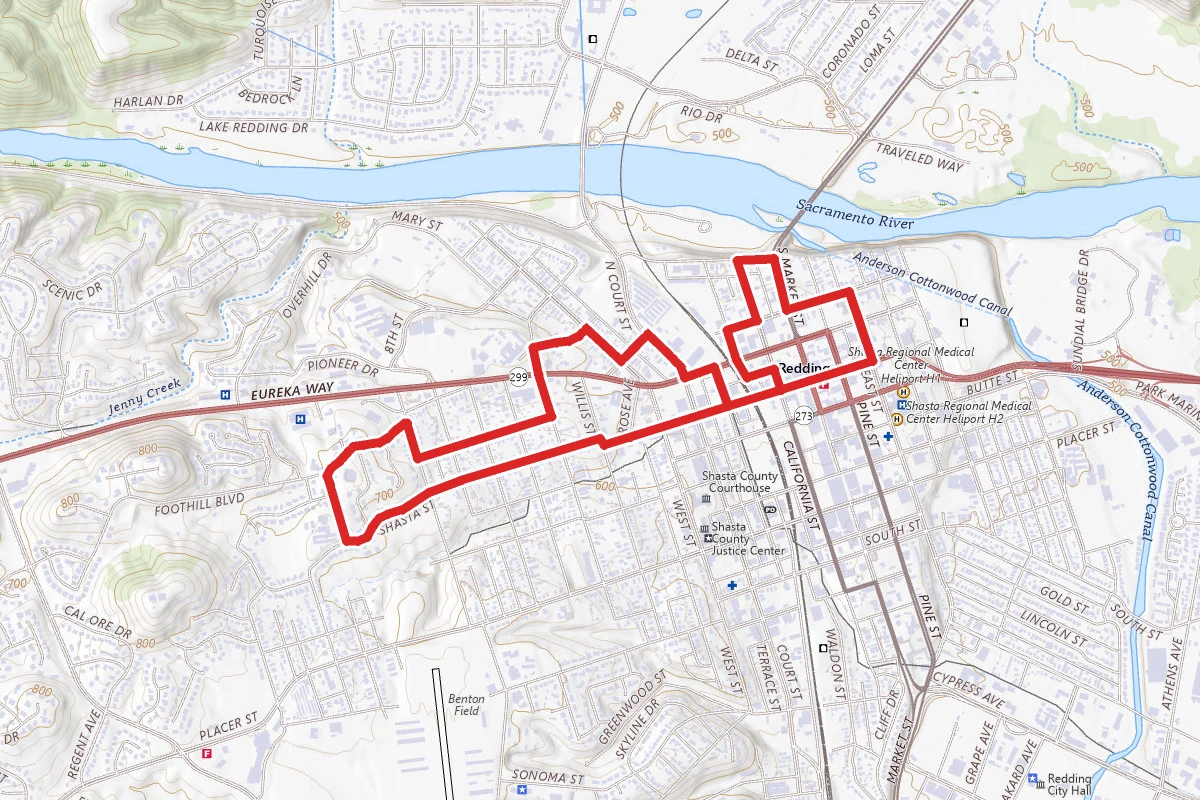
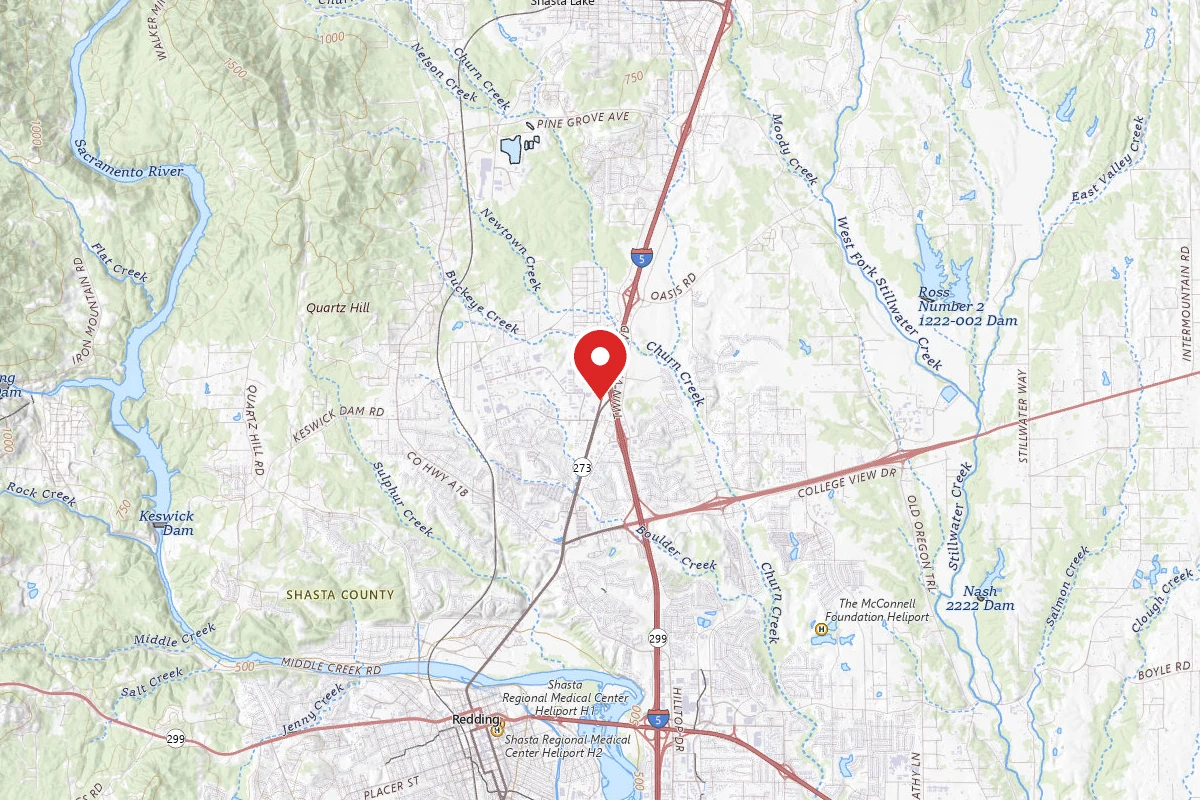
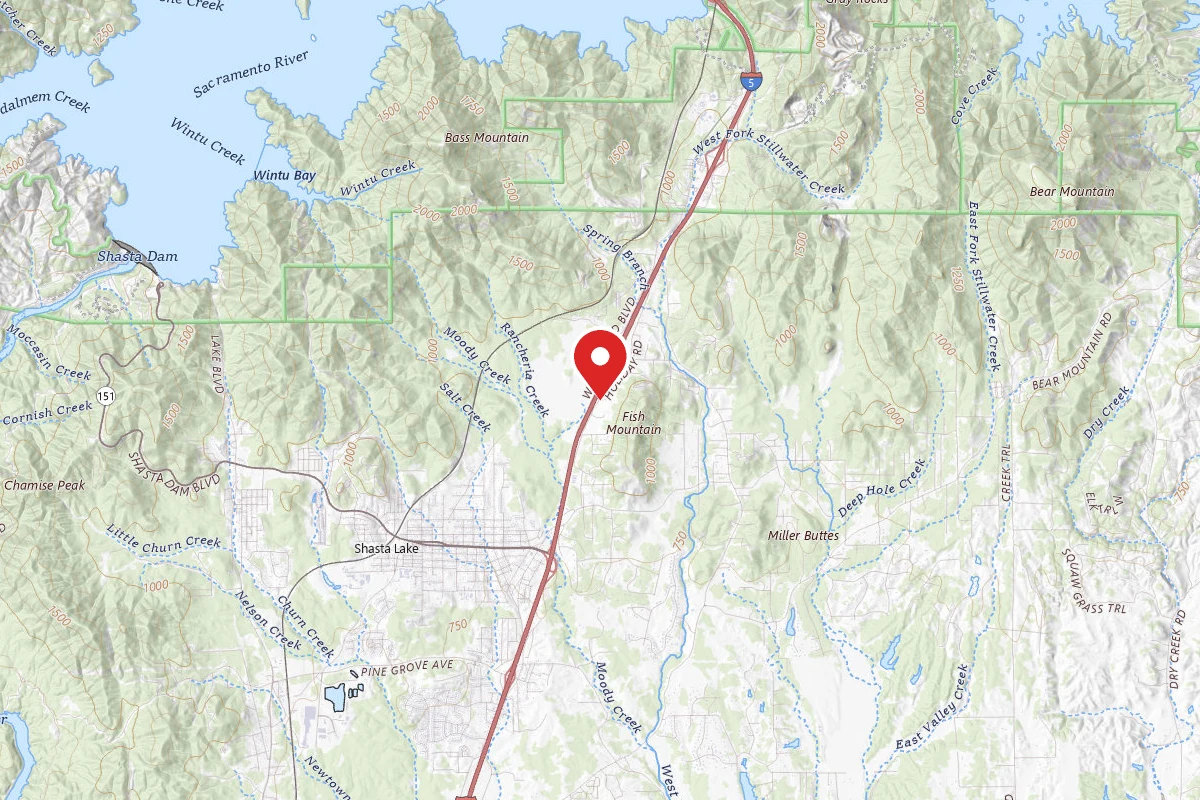
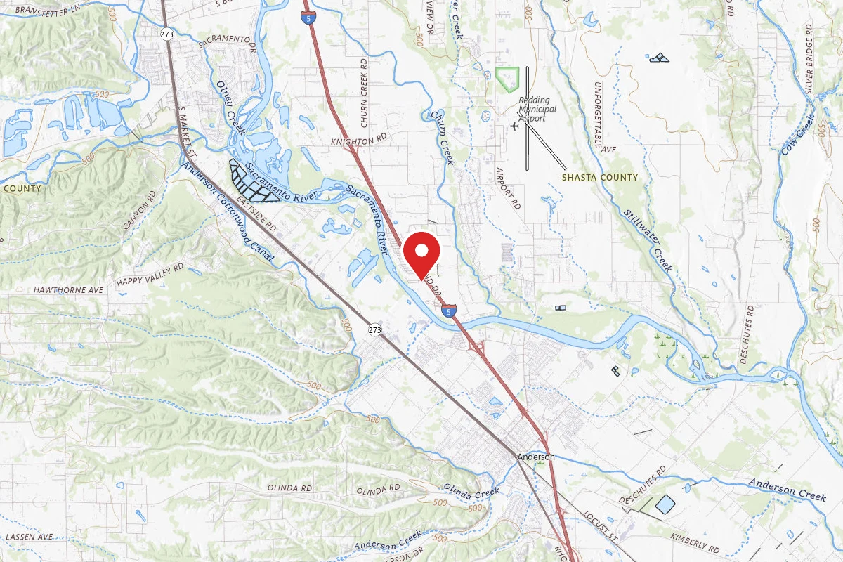
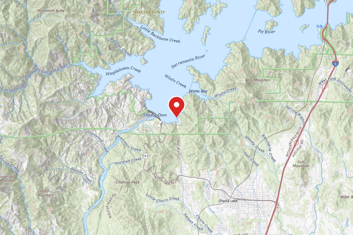
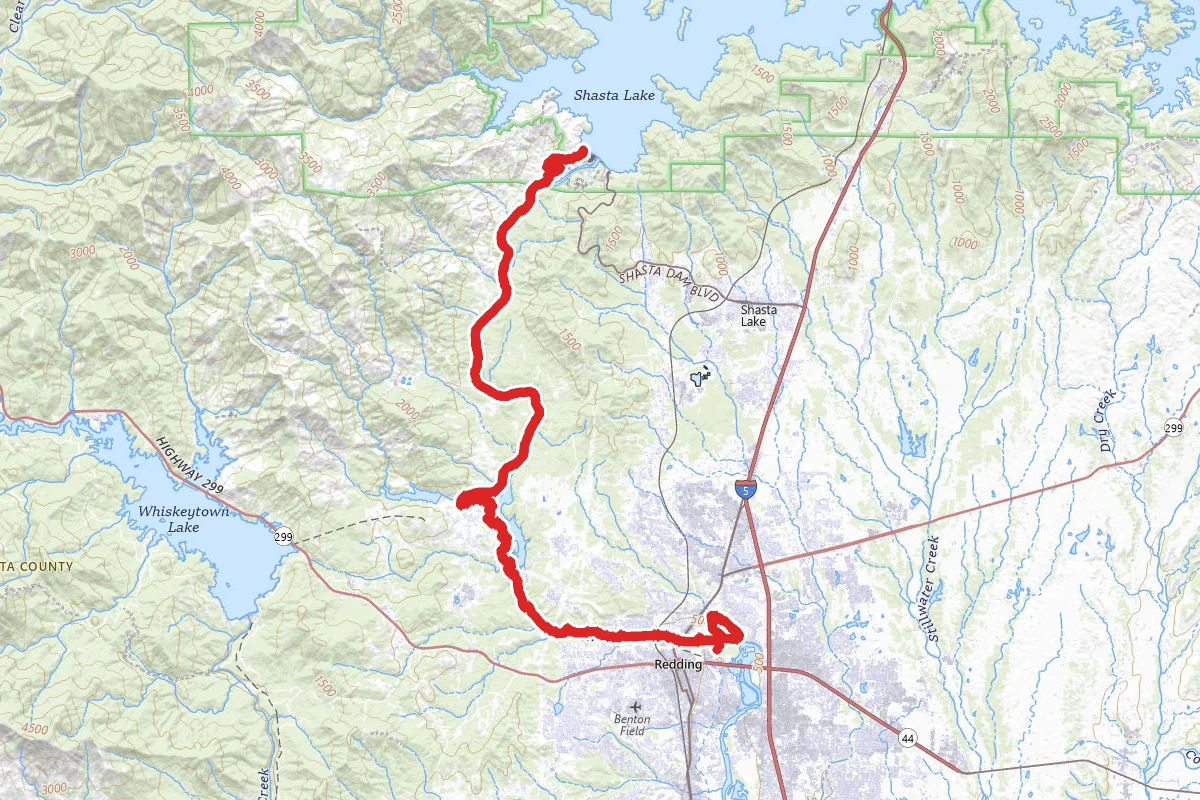
Sundial Bridge to Shasta Dam route map
ExpertOut and Back

Sundial Bridge to Shasta Dam

Redding, California

38.2 mi

Distance

5,102 ft

Elev. Gain

13h 48m

Est. Time

Out & Back

Route Type

Expert

Difficulty

About This Trail

Imported description
All other trails in the area are open. Start this trail at the Sacramento River Rail Trail at Keswick Dam Road. The trail starts at the Sundial Bridge, and makes it way through central Redding, and finally to the top of Shasta Dam. The majority of the trail follows the historic railroad bed that once connected Oakland, CA to Portland, OR (1885-1942). Chinese workers (primarily) used hand picks and shovels to create the railroad bed in the 1880s. This part of the railroad was abandoned as the primary railroad line to Oregon when Shasta Dam was completed, but it continued to be a branch line until 1980. The views and scenery are incredible along the entire trail. The paved trail system is navigable by any bicycle, but to ride the entire trail you would do best with a mountain bike, or better yet, a road bike with multiple gears. Some sections are steep and require low gears, and excellent brakes. Be sure to take water and food if you plan on heading to Shasta Dam. The last available water until you reach Shasta Dam is a mile past the ribbon foot bridge, so be sure to fill up your water bottles. There is a water fountain near the visitor's center on the top of Shasta Dam. There is also fairly well hidden water source just below the Dam at the OHV area in the parking area east of the trail. It is hard to find. Please ride slowly when you are in the city limits of Redding. There are many children on bikes, tourists taking pictures, and people generally enjoying all the natural beauty on the trail system. These people are completely unaware that cyclists are coming their way, so it is up to you to keep everyone safe. Be sure to announce your presence when overtaking joggers, walkers, and other cyclists by calling, "On your left," as you pass. Once you pass the ribbon foot bridge, it is safe to increase speed. Weather in the winter can be very cold, and it can snow, although this is rare. It rains heavily all winter, so be prepared. Fall and spring can vary in temperature from the 70's to the low 90's, and it is the preferred time to enjoy the scenery and wildlife. In the summer expect it to be over 100 degrees by 12:00 noon. It is highly recommended to take this trail in the early morning during the summer season, and early fall.

Trail Conditions

Trail Conditions

Unknown

We have no current condition data for this trail. Check with the operator before you go, and submit a report below if you've been recently.

No recent condition reports. Be the first to share what you see on the trail.

Elevation Profile

Min:148 ft
Max:337 ft
1,555 ft
1,555 ft
148 ft211 ft274 ft337 ft0.0 mi9.5 mi19.1 mi28.6 mi38.2 mi

Trail Details

Route Type
Out & Back
Surface
Dirt

Official sources & verification

We don't have curated agency sources for this trail in our cache yet. Outdoors is not the permitting authority — confirm conditions, permits, and access with the managing agency before you go. If you know who manages this trail, please tell us.

Reviews

No reviews yet

Be the first to share your experience and help others plan their visit.

Legacy import — verify before navigating

Path geometry came from our pre-launch legacy database. Routes have not yet been re-verified against the operator and may differ from the actual trail.

Hunt context

This trail crosses hunting units

During hunting seasons, wear blaze orange and check regulations — see the California hunting page

Spot an error in our data on Sundial Bridge to Shasta Dam?