Difficult
Stonewall Peak and Cuyamaca Peak via Cold Stream to West Mesa Loop [CLOSED]
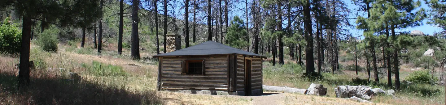
Descanso, California
18.9 mi
Distance
4,544 ft
Elev. Gain
7h 58m
Est. Time
0.0
0 Reviews
About This Trail
Vehicles are not allowed in the park to access the trail or other destinations. The park's website has more information about it: https://www.parks.cal.
Trail Details
Loop
Route Type
Dirt
Surface
Dogs Allowed (Leash Required)
Dog Policy
Yes
Kid Friendly
No
Permit Required
Elevation Profile
Min:1,214 ft
Max:1,974 ft
1,385 ft
1,385 ft
Reviews
No reviews yet
Be the first to share your experience and help others plan their visit.
Trail Conditions
Trail Conditions
Unknown
Updated Unknown
No recent condition reports. Be the first to share what you see on the trail.
Nearby Trails
More trails near Stonewall Peak and Cuyamaca Peak via Cold Stream to West Mesa Loop [CLOSED]![Stonewall Peak and Cuyamaca Peak via Cold Stream to West Mesa Loop [CLOSED]](https://www.nps.gov/common/uploads/structured_data/3C873CC3-1DD8-B71B-0B076FC2806DF140.jpg?width=800&quality=80)
Stonewall Peak and Cuyamaca Peak via Cold Stream to West Mesa Loop [CLOSED]
30.4 km5.0
Difficult
East Side Trail to Stonewall Peak to Cold Stream Trail Loop [CLOSED]
24.3 km
Moderate
East Side Trail to Stonewall Peak to Cold Stream Trail Loop [CLOSED]
24.3 km5.0
Moderate
Harvey Moore to Penny Pines Via Noble Canyon Trail [CLOSED]
36.5 km
Moderate
Monument Trail and West Mesa Trail Loop [CLOSED]
11.3 km
Moderate
Japacha Fire Road to Arroyo Seco Trail Loop [CLOSED]
13.5 km5.0
Moderate
Stay nearby
Campgrounds near this trail
Reservable
Thousand Trails Oakzanita Springs
1.9 mi away · CA
Reservable
Paso Picacho Campground
3.4 mi away · CA
Reservable
Lake Cuyamaca Recreation and Park District
5.2 mi away · CA
Lake Cuyamaca Recreation and Park District
5.2 mi away · CA
Lake Cuyamaca Recreation and Park District
5.2 mi away · CA
 Reservable
El Prado Campground
7.4 mi away · CA
Similar length
Similar trails in California
Mount Tallac Trail
California
16.4 km1,178 mgain
Difficult
Mount Whitney Trail
California
36.2 km4,357 mgain
Difficult
Mount Baldy via Devil's Backbone Trail
California
22.5 km1,798 mgain
Difficult
Skyline Drive to Beek's Place
California
17.5 km933 mgain
Moderate
Los Liones Canyon and East Topanga Fire Road [CLOSED]
California
17.2 km1,044 mgain
Difficult
Sitton Peak Truck Trail
California
16.7 km811 mgain
Difficult