Status unknown — verify before visiting

We don't have current condition data for this trail. Check with the land manager before you go.
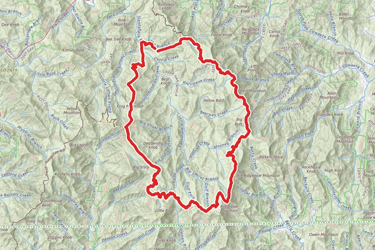
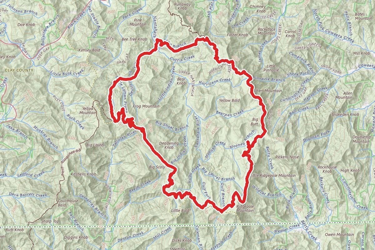
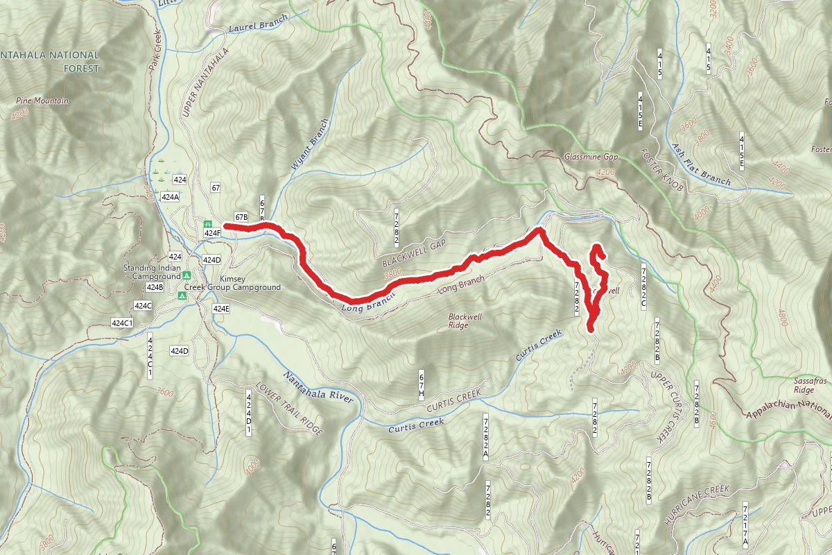
Standing Indian, Mount Albert, Nantahala Basin Loop route map
ExpertLoop

Standing Indian, Mount Albert, Nantahala Basin Loop

Franklin, North Carolina

20.4 mi

Distance

5,364 ft

Elev. Gain

8h 58m

Est. Time

Loop

Route Type

Expert

Difficulty

About This Trail

Imported description
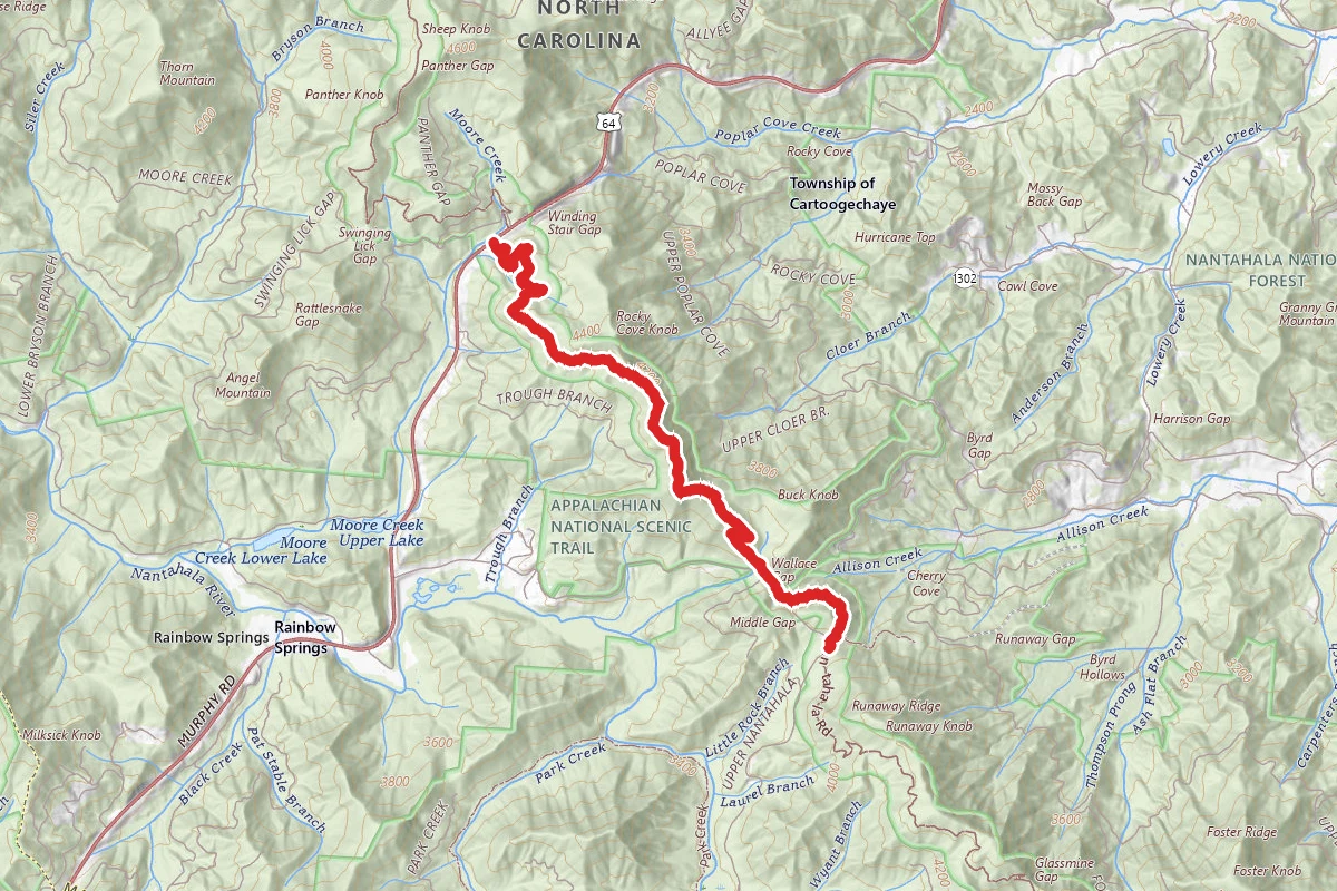
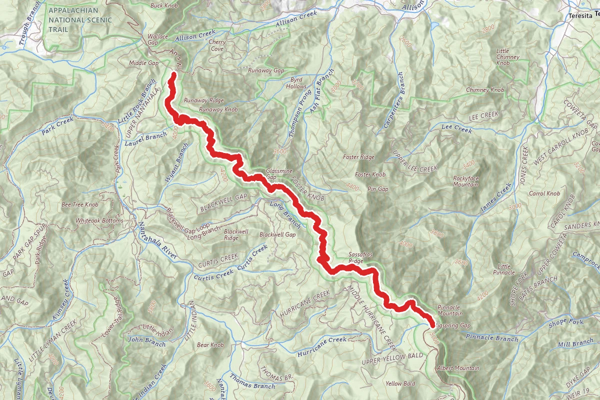
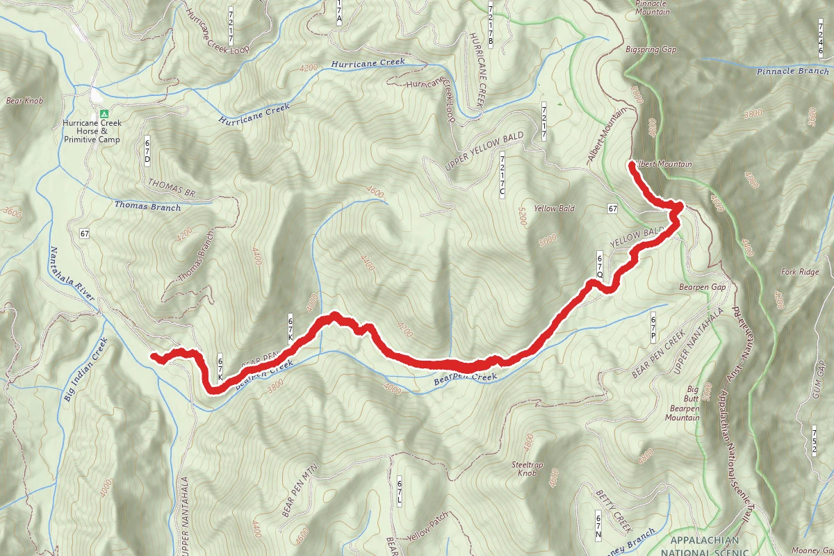
This is a very popular loop trail that circles the headwaters of the Nantahala river. Standing Indian Basin is the horseshoe-shaped drainage formed by the Nantahala and Blue Ridge Mountains. This is the perfect loop trail: it includes 15 mi of the AT, has 2 summits with spectacular views, does not involve any difficult climbs, has frequent established campsites to customize the distances per day, and has many water sources.  It even has alternate trail options and the flexibility of keeping it leisurely or fast paced as desired.  Several prominent peaks over 5,000 feet in elevation—Albert Mountain, Big Butt, Little Bald, and Standing Indian Mountain—cap the rim of the drainage. There are many trails through the area and several options exist for loop trails.  What makes this area so attractive for hiking is the way the Appalachian Trail (AT) strangely forms about 270 degrees of a loop, which is easily connect with local trails. Parking is available at the Backcountry Information Center (a kiosk with maps and safety info) which is located a few hundred yards past the Standing Indian Campground (bathrooms and even a shower available in the campground just a short walk from the parking lot) on Forest  Service Rd 67.  Start this loop on the Long Branch Trail (the sign is visible from the parking area). Start here and proceed clockwise around the loop because the ascents are not as steep and you do not start off climbing to the tallest peak on the trip from the base of the valley. Going this direction, only about 300 ft of the climb up Mt Albert is steep, all other grades are easily manageable. In the opposite direction, the climb up Mt Albert is extremely steep and gains about 400 ft at that rate.   The first campsite in this direction is about 1.75 mi up the trail in a clearing. If you can manage about 5.5 mi hiking on your first day you can camp at the summit of Mt Albert, which had a few good spots and clear views of the Milky Way at night (assuming no clouds). Most of the major gaps have plentiful camping sites. Water is generally plentiful on this trail, but in early October not all the sources provided adequate flow for pumping. Filling up at the ‘008Road’ point on the Long Branch Creek is recommended. The water is often plentiful and easy to pump, and many other water sources are pretty reliable including the springs at Carter Gap and Standing Indian, but obviously every year and every season is different. If you want to get the campsite of the summit of Standing Indian, plan on getting to it early in the day. The summit site allows spectacular views of the sunset from while sitting at the fire, but the views at the southern viewing points are better. Wherever you stay make sure you go to the other lookout points, which are fairly easy to find by looking for outcroppings of rock.  This route descends the Lower Ridge Trail (4.2 mi) rather than the more popular Kimsey Creek Trail (7.0 mi). Both trails are consistently very steep. The Kimsey Creek Trail seems to follow the creek closely, which is always nice. The Lower Ridge Trail is very beautiful too, but doesn’t beat a creek to follow.  Also, if you plan to stay at the Standing Indian Shelter, then the Kimsey Creek Trail is a better choice. The advantage of the Lower Ridge Trail is the shorter distance and faster exit, but it is a pretty trail even if it is steeper because it descends 2000 ft in 3.75 mi instead of about 5.5 mi.

Trail Conditions

Trail Conditions

Unknown

We have no current condition data for this trail. Check with the operator before you go, and submit a report below if you've been recently.

No recent condition reports. Be the first to share what you see on the trail.

Elevation Profile

Min:1,044 ft
Max:1,660 ft
1,635 ft
1,635 ft
1,044 ft1,249 ft1,455 ft1,660 ft0.0 mi5.1 mi10.2 mi15.3 mi20.4 mi

Trail Details

Route Type
Loop
Surface
Dirt

Official sources & verification

We don't have curated agency sources for this trail in our cache yet. Outdoors is not the permitting authority — confirm conditions, permits, and access with the managing agency before you go. If you know who manages this trail, please tell us.

Reviews

No reviews yet

Be the first to share your experience and help others plan their visit.

Legacy import — verify before navigating

Path geometry came from our pre-launch legacy database. Routes have not yet been re-verified against the operator and may differ from the actual trail.
Spot an error in our data on Standing Indian, Mount Albert, Nantahala Basin Loop?