Status unknown — verify before visiting

We don't have current condition data for this trail. Check with the land manager before you go.
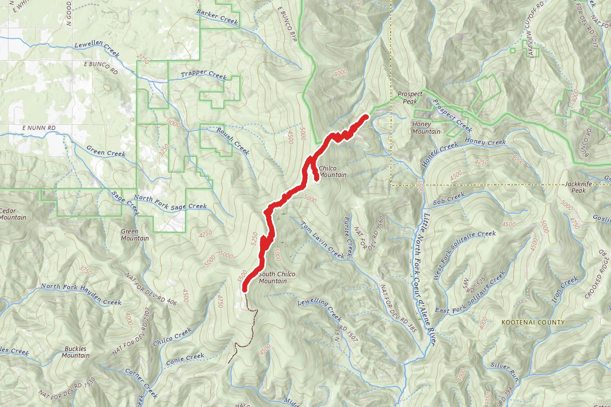
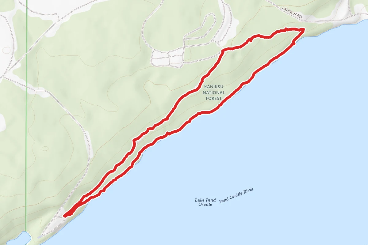
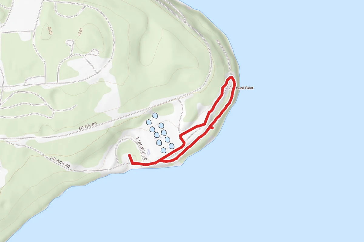
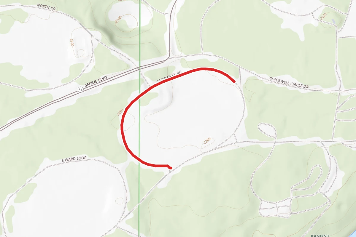
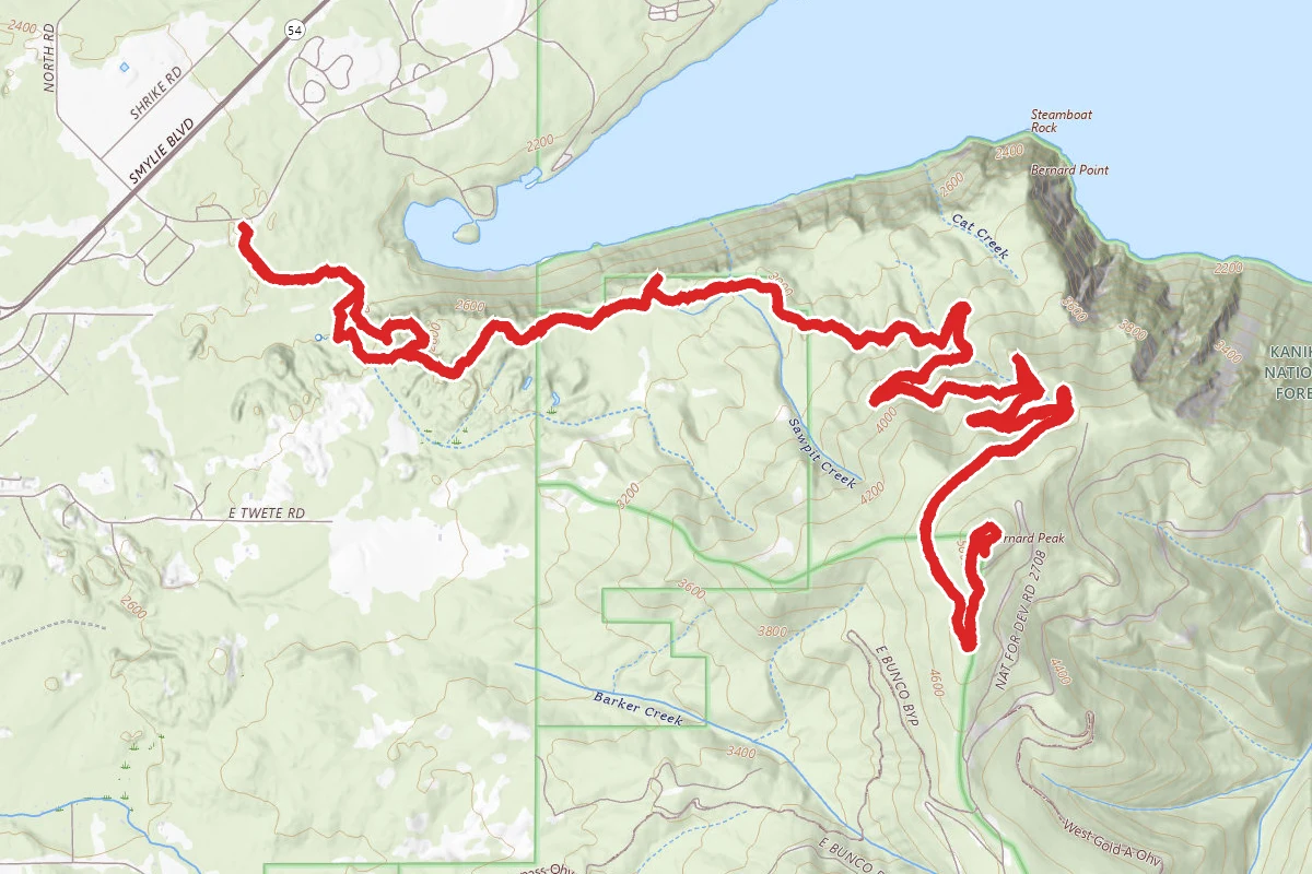
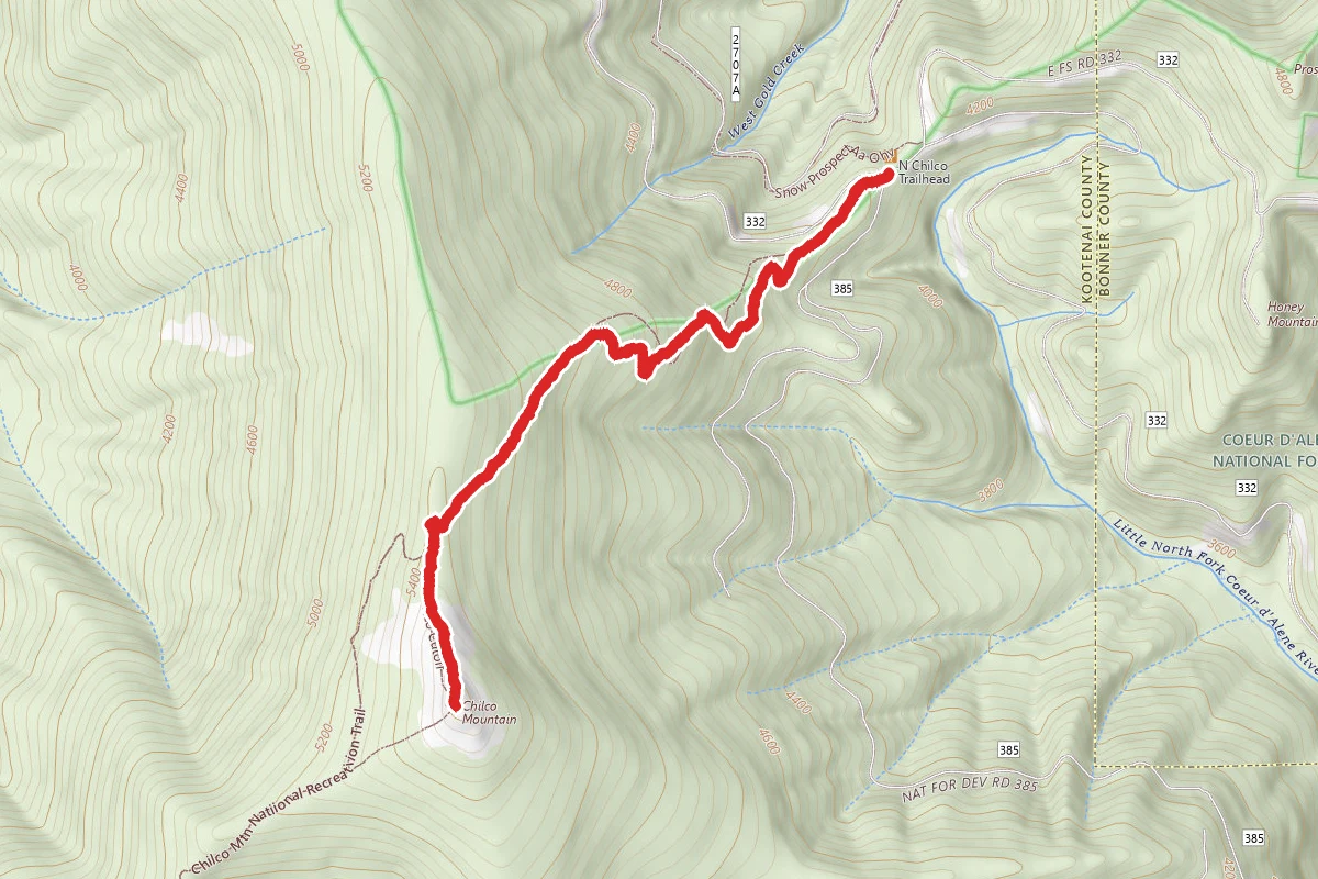
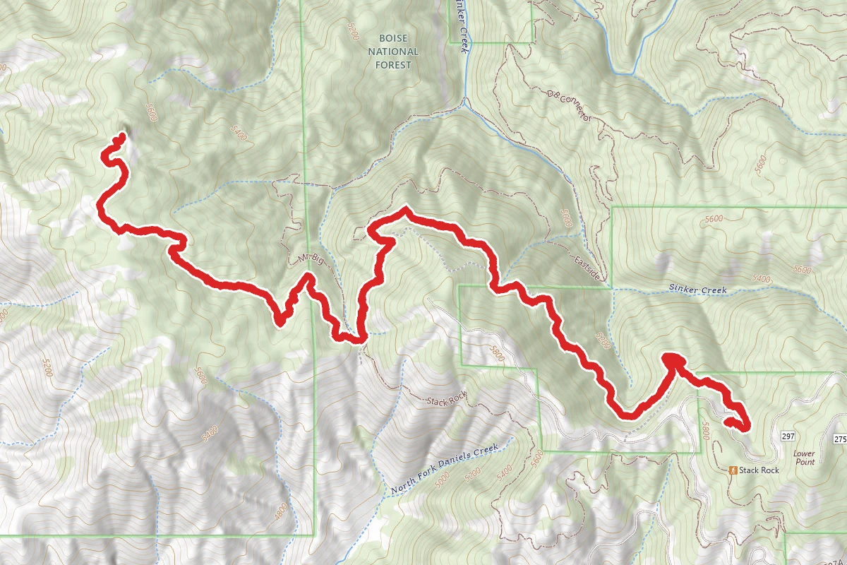
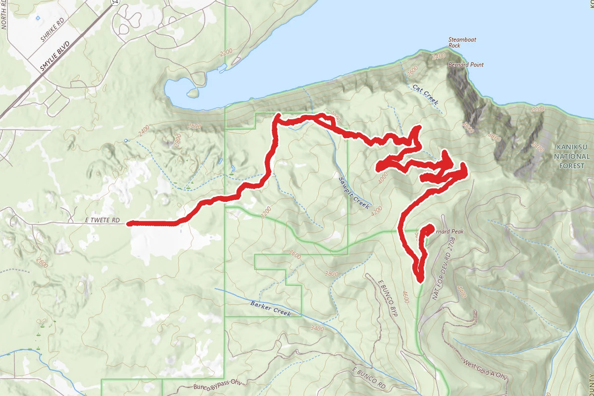
South Chilco Mountain route map
DifficultOut and Back

South Chilco Mountain

Athol, Idaho

10.5 mi

Distance

3,192 ft

Elev. Gain

Out & Back

Route Type

Difficult

Difficulty

About This Trail

Imported description
South Chilco Mountain is a locally significant mountain and the highest on the western front of the Coeur d’Alene Mountains, a sub-range of the Bitterroots in North Idaho. It is 5,661 feet in elevation and has a respectable 1,526 feet of prominence, both of which are ranked third in Kootenai County. The abrupt rise of these mountains is approximately 3,500 feet, which is not large, but with the heavy coat of evergreen forests and numerous large and small lakes nestled against the lower elevations it’s a very scenic place. The mountain stands out particularly from Hayden Lake, north of Coeur d’Alene, which lies nearly 3,300 feet below. The lakes largest tributary, Hayden Creek flows off the southwest aspect of the mountain feeding the lake with cold clear waters through dark, inland rainforests of Western Redcedar and Hemlock. The upper elevations support open stands of subalpine fir and beargrass glades broken up by some very large talus slopes. These large rocks are billion year old sedimentary ripple rocks raised up from an ancient sea bed. The mountain looks out over the Rathdrum Prairie into Washington beyond the city of Spokane. Several lakes including Coeur d’Alene, Hayden, Lower Twin and Hauser are visible to the south and west. Across the south end of the Purcell Trench lies the southern terminus of the extensive Selkirk Mountains along the border of Idaho and Washington. To the easterly direction the apparently endless waves of the Coeur d’Alene Mountains, broken up by the highly dendritic fingers of the Coeur d’Alene River; extend to the northern Bitterroots and on into Montana. To the northeast the view across the broad Clark Fork Valley is highlighted by the Snowshoe Peak and other summits of the high Cabinet Mountains. To the southeast below the South Fork Coeur d’Alene basin, the St. Joe Mountains rise in a similar, but generally slightly higher manner than their northern neighbors. This trail begins on Bunco Road, NF-209, at coordinates: 47.905699, -116.513223. It follows Forest Service trail number 14. (There is an alternate trailhead at the south end of trail 14, at coordinates: 47.849840, -116.559903, but the road to the south trailhead can be a challenge to find and negotiate.) The hike to South Chilco Mountain entails hiking up Chilco Mountain most of the way, descending into Chilco Saddle, then ascending South Chilco Mountain. South Chilco Mountain is the taller of the two peaks. Chilco Mountain has an elevation of 5635 feet, while South Chilco Mountain has an elevation of 5661 feet. (The sign on the peak appears to be inaccurate.) The hike includes some considerable changes in altitude, and some switchbacks, which might challenge some hikers. The distance from the Bunco Road trailhead to Chilco Mountain is 2 miles, one way – for a 4 mile round-trip hike. The hike to Chilco Saddle is 3.5 miles one way. The hike to South Chilco Mountain is 5 miles one way, for a round-trip distance of 10 miles. Forest Service Trail #14 is 7 miles in length, so out and back is 14 miles total.

Trail Conditions

Trail Conditions

Unknown

We have no current condition data for this trail. Check with the operator before you go, and submit a report below if you've been recently.

No recent condition reports. Be the first to share what you see on the trail.

Elevation Profile

Min:1,278 ft
Max:1,728 ft
973 ft
973 ft
1,278 ft1,428 ft1,578 ft1,728 ft0.0 mi2.6 mi5.2 mi7.9 mi10.5 mi

Trail Details

Route Type
Out & Back
Surface
Dirt

Official sources & verification

Managed by United States Forest Service

Verify before you go

Managing agency

Verify by phone or mail

  • Address:WA
We display cached information from agency feeds. Hours, fees, permits, closures, fire restrictions, and conditions change without notice. Outdoors is not the permitting authority. Confirm current conditions for this trail using the links above before you go — you are responsible for compliance. Last verified by us: May 23, 2026. Our copy is more than a month old — please reconfirm with the agency before relying on it.Spot an error in our data?

Reviews

No reviews yet

Be the first to share your experience and help others plan their visit.

Legacy import — verify before navigating

Path geometry came from our pre-launch legacy database. Routes have not yet been re-verified against the operator and may differ from the actual trail.

Hunt context

This trail crosses hunting units

During hunting seasons, wear blaze orange and check regulations — see the Idaho hunting page
Spot an error in our data on South Chilco Mountain?