Status unknown — verify before visiting

We don't have current condition data for this trail. Check with the land manager before you go.

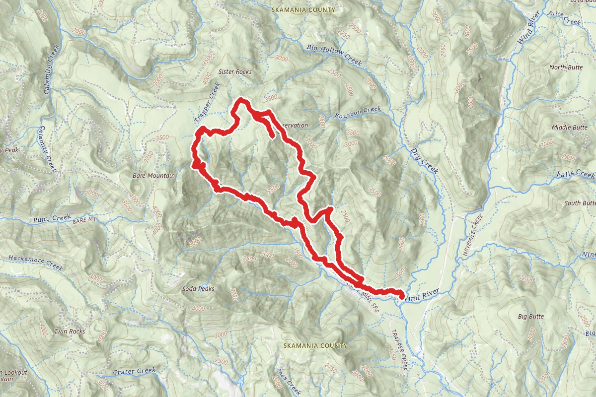
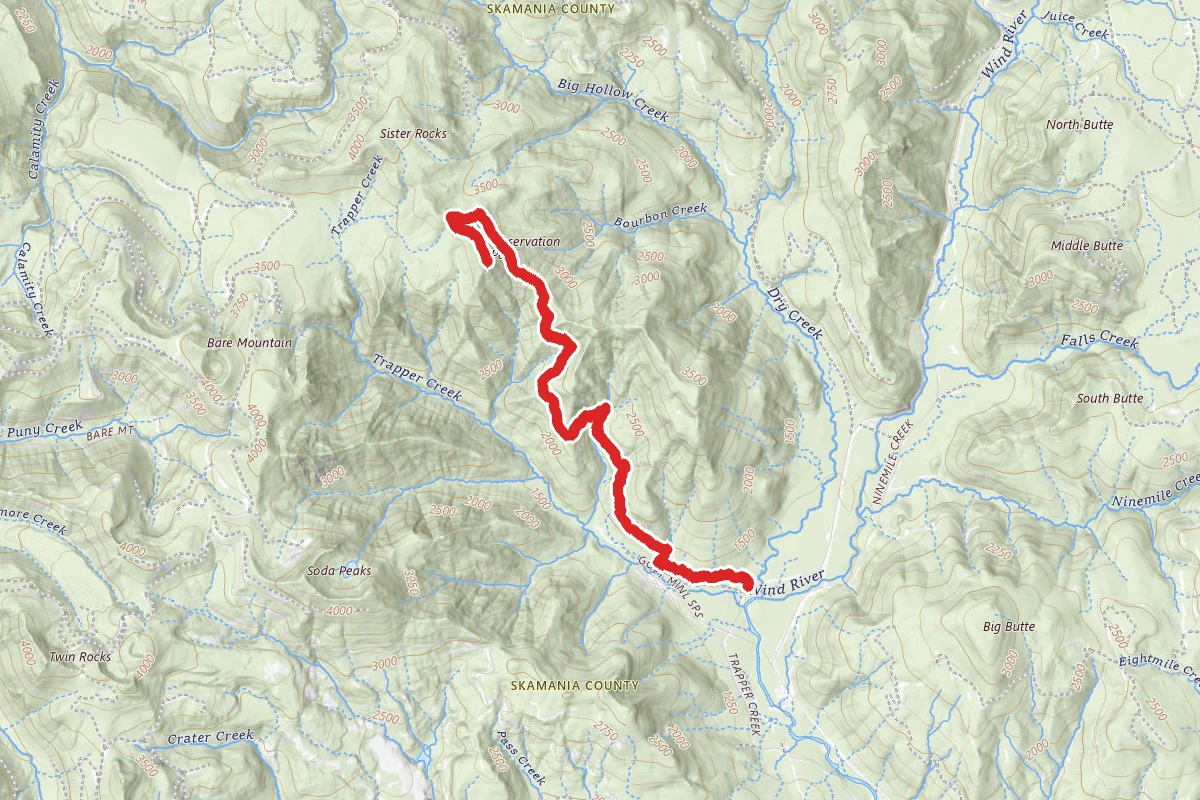
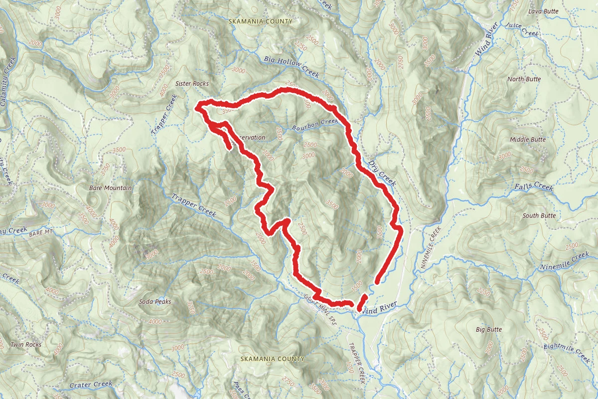
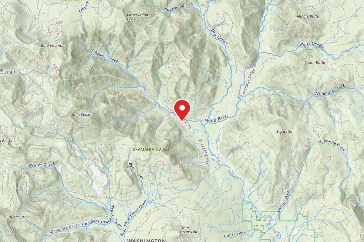
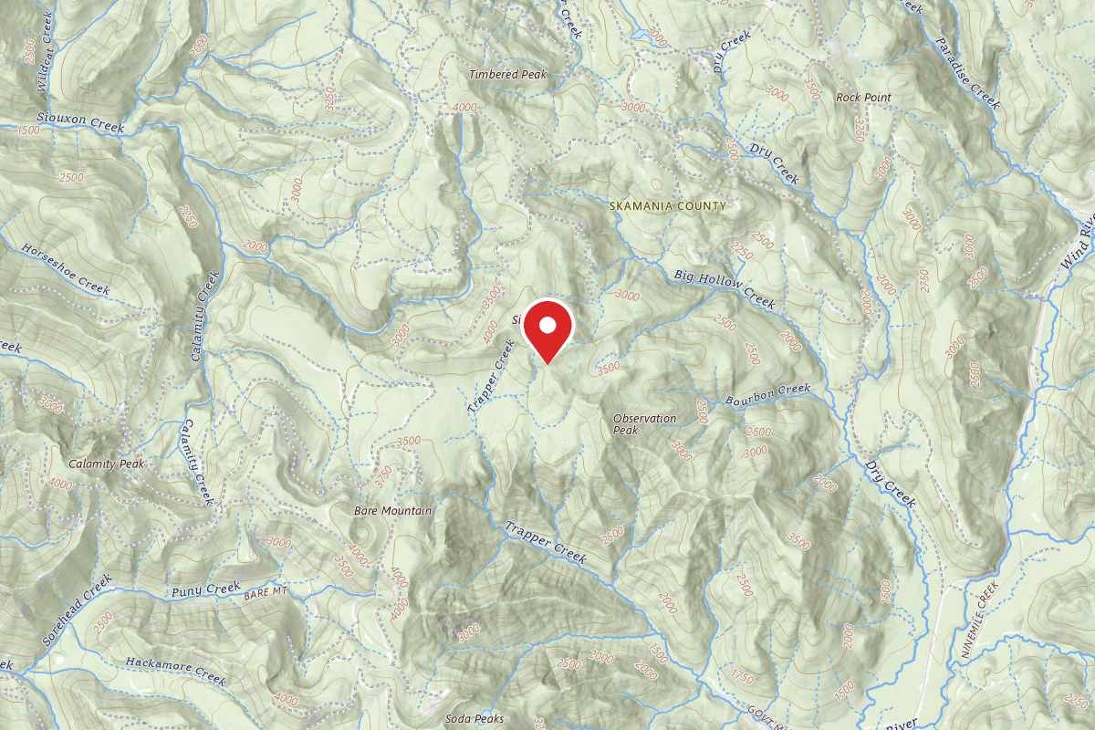
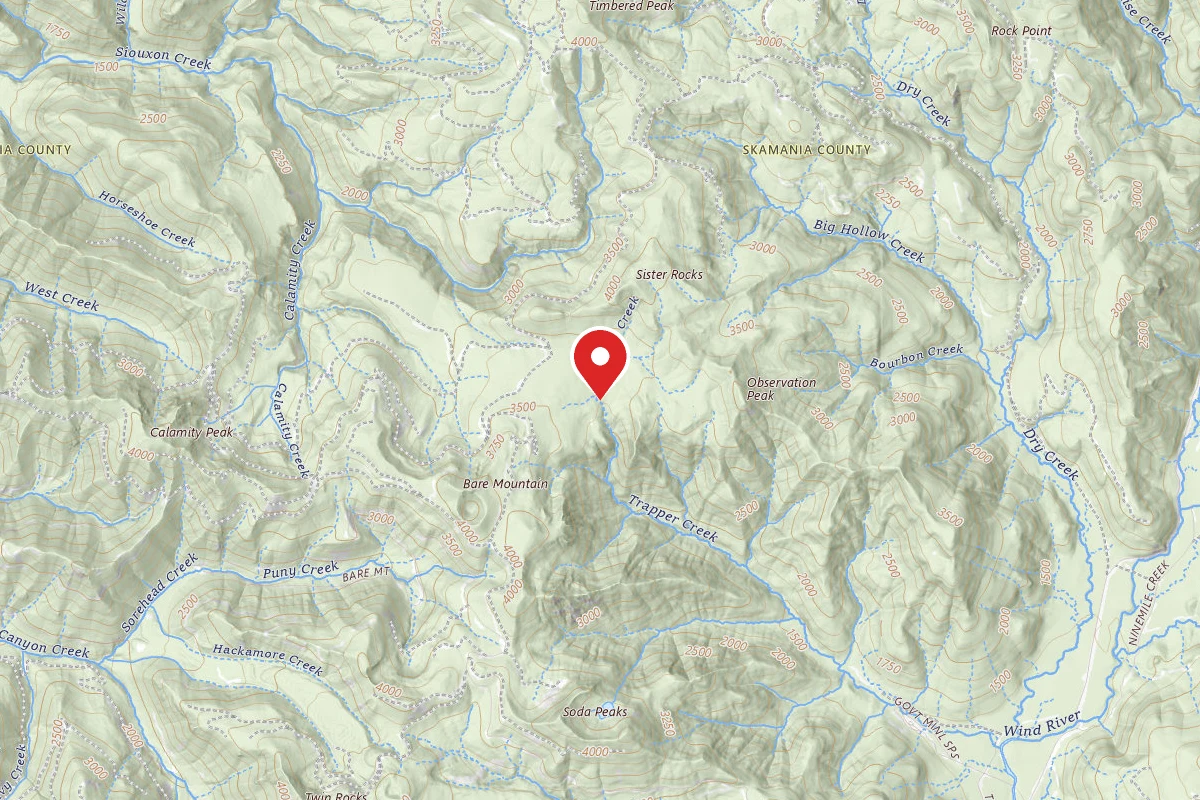
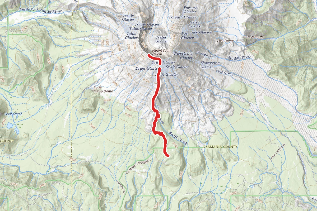
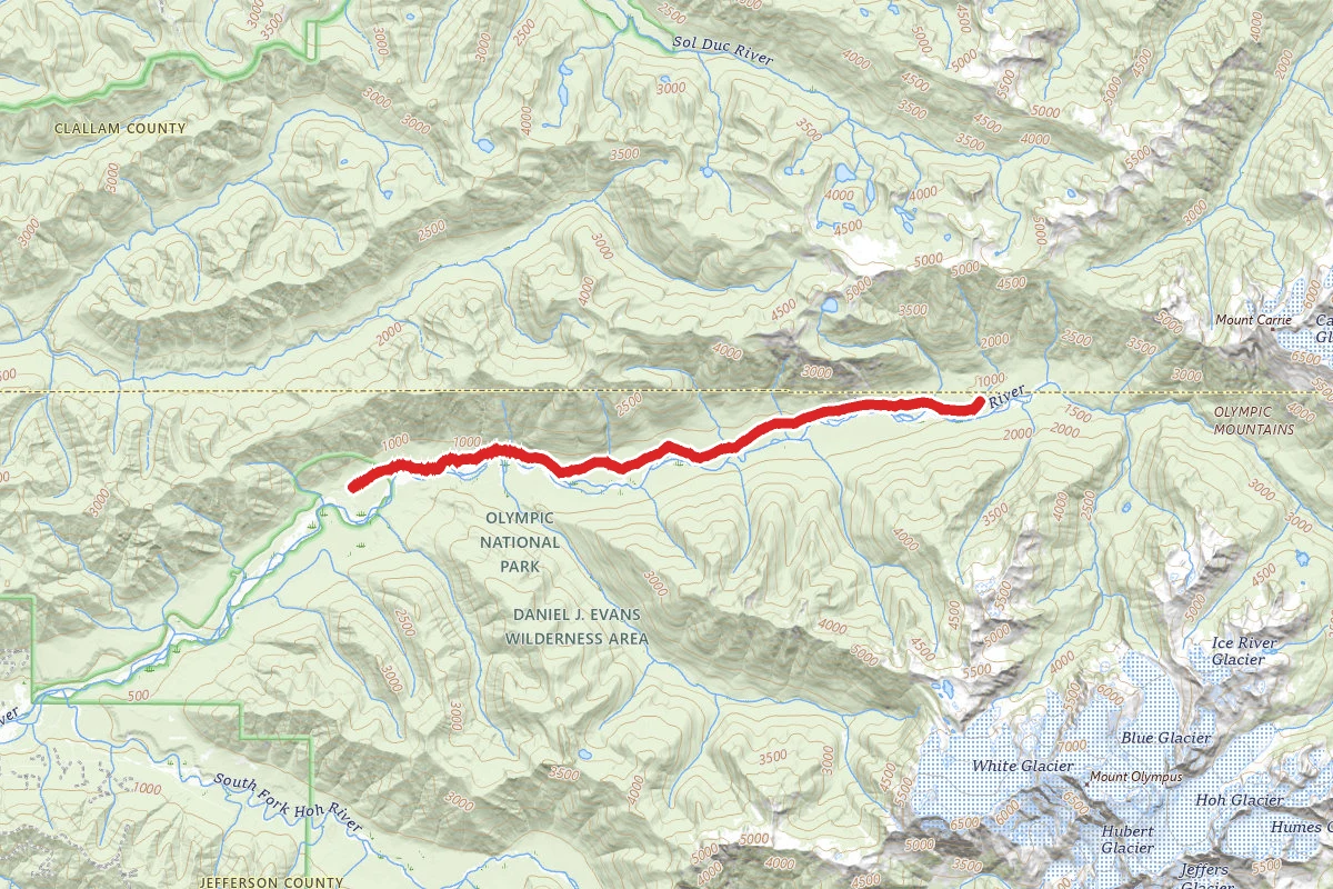
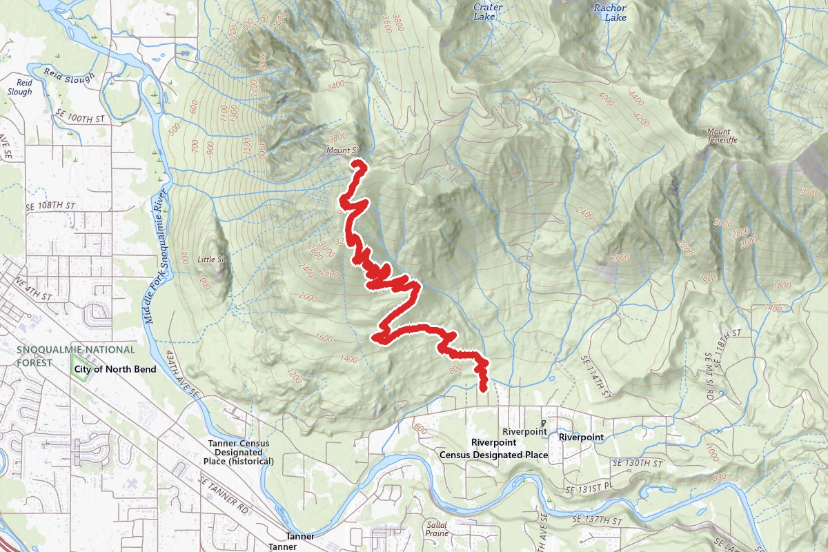
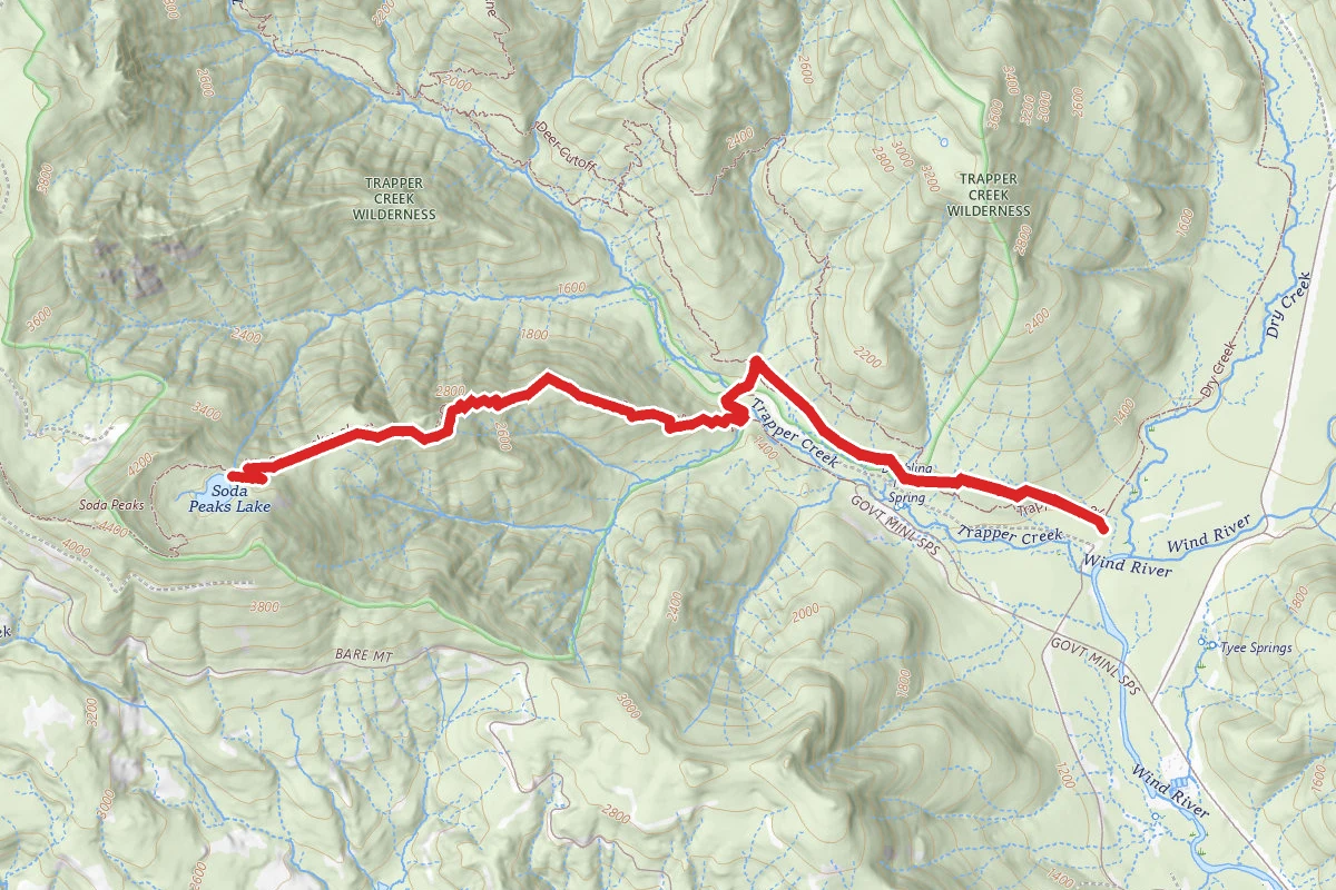
Soda Peaks Lake Trail route map
DifficultOut and Back

Soda Peaks Lake Trail

Carson, Washington

7.7 mi

Distance

3,153 ft

Elev. Gain

1h 31m

Est. Time

Out & Back

Route Type

Difficult

Difficulty

About This Trail

Imported description
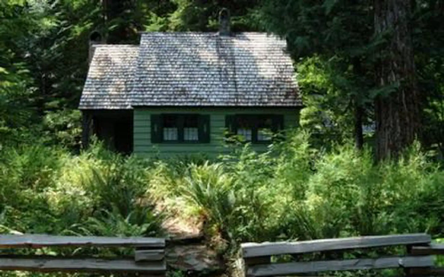
A grueling climb along a quiet but steep trail to a beautiful little lake. Listen for Pika calling in the talus slope on the east face of Soda Peaks and enjoy the peace and solitude. Soda Peaks Lake, formerly known as Lost Lake, is in the southern portion of the Trapper Creek Wilderness in the Gifford Pinchot National Forest. It is about 15 miles north of the town of Carson. The Soda Peaks Lake Trail (#133) passes by the lake and has trailheads both east and west of the lake. This approach takes you over the sturdy new footbridge at Trapper Creek for an unrelenting ascent to the destination. There are a number of good campsites at the lake, which lies nestled in a glacial cirque below the summit of an old volcano that erupted about 360,000 years ago. From the trailhead, enter Douglas-fir/hemlock woods with red-cedar, big-leaf maple, vine maple, a couple of western white pines, yew, sword fern, salal, Oregon grape, and red huckleberry. A few yards up is the Trapper Creek-Dry Creek Trail Junction. Continue on the Trapper Creek Trail #192. The tread ascends gradually and then keeps low along the side of Howe Ridge. This is old growth, with a few large hemlocks and Douglas-firs and many snags from an ancient fire. The woods are mossy, and a stunning glabrous green in wet weather. Enter the Trapper Creek Wilderness and then come to the Trapper Creek-Observation Peak Trail Junction. Keep straight on Trail #192 and cross Lush Creek on a footbridge; then head up to traverse along the side of the ridge again. Some bigger Douglas-firs and a few silver firs appear. Cross a footbridge over a rushing creek and come to the Trapper Creek-Soda Peaks Tie Trail Junction. Go left on this trail and descend below mossy, buttressed cedars, reaching an alder/big-leaf maple flat. A trail leads left to the Government Mineral Springs area and an unofficial trailhead; keep straight here to reach Trapper Creek. A sturdy footbridge has been erected here. Pass under alders and then bear left to keep to the main trail. Passing some very large Douglas-firs and western hemlocks, you reach the Soda Peaks Lake-Soda Peaks Tie Trail Junction. The Soda Peaks Lake Trail leads left to a trailhead west of the mineral springs area (Starting there makes for a round-trip to the lake of 7.0 miles). Switchback up to the right under Douglas-fir, western hemlock, silver fir and yew. Keep switchbacking through woods of vanilla leaf, vine maple and cascara. There are openings created by blowdown where salal and cascara stand out. Reach the crest of the ridge, drop slightly, and then rise again. The trail skirts a knoll, from which there is a view of Mount Hood, and drops to a saddle, and then rises steeply again. Switchback at the ridge crest in hemlock woods and get views east to Observation Peak. There are some impressive Douglas-firs in this area also. Keep switchbacking up relentlessly. The trail rounds a rocky face, traverses through old growth and then passes across a vine maple/hazel scree slope. Head up again in old growth woods of Douglas-fir, western hemlock and silver fir. The trail levels and then drops, wending among some huge hemlocks. Then begin to traverse up again. On a clear day, you can take in views of Mount Rainier, Mount Saint Helens and Mount Adams along this section. The trail switchbacks and heads steeply up before reaching the lake. Douglas-fir, western hemlock, Alaska yellow-cedar and silver fir surround the lake, which falls into deep shadow early in the afternoon. Theres a rushing outlet creek and a couple of decent campsites here. There are brook trout in the lake, so bring a rod if you want to fry one up for dinner. Courtesy of OregonHikers.org

Trail Conditions

Trail Conditions

Unknown

We have no current condition data for this trail. Check with the operator before you go, and submit a report below if you've been recently.

No recent condition reports. Be the first to share what you see on the trail.

Elevation Profile

Min:372 ft
Max:1,170 ft
961 ft
961 ft
372 ft638 ft904 ft1,170 ft0.0 mi2.1 mi4.1 mi6.2 mi8.3 mi

Trail Details

Route Type
Out & Back
Surface
Dirt

Official sources & verification

We don't have curated agency sources for this trail in our cache yet. Outdoors is not the permitting authority — confirm conditions, permits, and access with the managing agency before you go. If you know who manages this trail, please tell us.

Reviews

No reviews yet

Be the first to share your experience and help others plan their visit.

Legacy import — verify before navigating

Path geometry came from our pre-launch legacy database. Routes have not yet been re-verified against the operator and may differ from the actual trail.

Hunt context

This trail crosses hunting units

During hunting seasons, wear blaze orange and check regulations — see the Washington hunting page

Spot an error in our data on Soda Peaks Lake Trail?