Difficult
13.2 mi
Distance
4,993 ft
Elev. Gain
6h 21m
Est. Time
0.0
0 Reviews
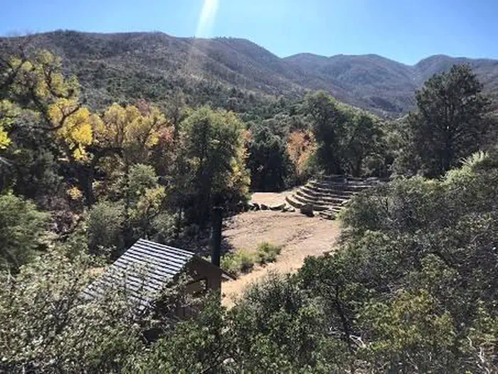
About This Trail
This trail is closed due to COVID-19. You should see the open trails nearby for alternate hiking options.
Trail Details
Out & Back
Route Type
Dirt
Surface
Dogs Allowed (Leash Required)
Dog Policy
Yes
Kid Friendly
No
Permit Required
Elevation Profile
Min:1,369 ft
Max:2,364 ft
1,522 ft
1,522 ft
Reviews
No reviews yet
Be the first to share your experience and help others plan their visit.
Trail Conditions
Trail Conditions
Unknown
Updated Unknown
No recent condition reports. Be the first to share what you see on the trail.
Nearby Trails
More trails near Six Shooter Canyon Trail [CLOSED]Sixshooter and Telephone Loop [CLOSED]
20.9 km
Difficult
Icehouse Canyon Trail (198) via Signal Peak [CLOSED]
12.7 km
Difficult
Kellner Canyon Trail (242) [CLOSED]
13.0 km
Difficult
Haunted Canyon Trail to Tonys Ranch
18.5 km
Moderate
Devil's Canyon Trail [CLOSED]
10.1 km
Moderate
Walnut Canyon via Battleaxe OHV Road
30.7 km
Difficult
Similar length
Similar trails in Arizona
.jpg/1280px-Grand_Canyon_National_Park_Bright_Angel_Trail_-_Sunset_0162_(6924462211).jpg)
Bright Angel Trail to Indian Garden
Arizona
12.7 km933 mgain
Difficult
,_South_Rim_nahe_Tusayan_--_2012_--_5893.jpg/1280px-Grand_Canyon_(Arizona,_USA),_South_Rim_nahe_Tusayan_--_2012_--_5893.jpg)
Rim Trail (South Rim)
Arizona
25.2 km61 mgain
Easy
Humphrey's Peak
Arizona
16.9 km1,363 mgain
Difficult
Bear Canyon to Seven Falls Trail
Arizona
13.7 km580 mgain
Moderate
Bright Angel Trail to Bright Angel Campground and River Trail
Arizona
28.5 km3,652 mgain
Difficult
Pass Mountain Trail
Arizona
11.3 km434 mgain
Moderate