Difficult
7.9 mi
Distance
3,494 ft
Elev. Gain
4h 6m
Est. Time
0.0
0 Reviews
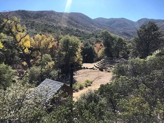
About This Trail
The trail is currently experiencing more or less complete shut down. It would be much appreciated if you could recommend the open trails nearby for hiking alternative options.
Trail Details
Out & Back
Route Type
Dirt
Surface
Dogs Allowed (Leash Required)
Dog Policy
Yes
Kid Friendly
No
Permit Required
Elevation Profile
Min:1,387 ft
Max:2,301 ft
1,065 ft
1,065 ft
Reviews
No reviews yet
Be the first to share your experience and help others plan their visit.
Trail Conditions
Trail Conditions
Unknown
Updated Unknown
No recent condition reports. Be the first to share what you see on the trail.
Kellner Canyon Trail (242) [CLOSED]
13.0 km
Difficult
Sixshooter and Telephone Loop [CLOSED]
20.9 km
Difficult
Six Shooter Canyon Trail [CLOSED]
21.2 km
Difficult
Devil's Canyon Trail [CLOSED]
10.1 km
Moderate
Haunted Canyon Trail to Tonys Ranch
18.5 km
Moderate
Walnut Canyon via Battleaxe OHV Road
30.7 km
Difficult
Similar length
Similar trails in Arizona
.jpg/1280px-Grand_Canyon_National_Park_South_Kaibab_Trail_0080_(8136468459).jpg)
South Kaibab Trail to Skeleton Point
Arizona
10.4 km622 mgain
Difficult
.jpg/1280px-Grand_Canyon_National_Park_Bright_Angel_Trail_-_Sunset_0162_(6924462211).jpg)
Bright Angel Trail to Indian Garden
Arizona
12.7 km933 mgain
Difficult
Devils Bridge Trail
Arizona
6.8 km228 mgain
Moderate
Flatiron via Siphon Draw Trail
Arizona
8.9 km917 mgain
Difficult
Tom's Thumb Trail
Arizona
6.4 km466 mgain
Difficult
Gateway Loop Trail
Arizona
6.8 km229 mgain
Moderate