Status unknown — verify before visiting
We don't have current condition data for this trail. Check with the land manager before you go.
9.5 mi
Distance
2,021 ft
Elev. Gain
4h
Est. Time
Loop
Route Type
Difficult
Difficulty
About This Trail
Imported descriptionTrail Conditions
Trail Conditions
We have no current condition data for this trail. Check with the operator before you go, and submit a report below if you've been recently.
No recent condition reports. Be the first to share what you see on the trail.
Elevation Profile
Trail Details
- Route Type
- Loop
- Surface
- Dirt
Official sources & verification
Managed by United States Forest Service
Managing agency
- United States Forest Service
Find offices, alerts, and current orders for this agency.
Verify by phone or mail
- Address:WV
Reviews
No reviews yet
Be the first to share your experience and help others plan their visit.
Legacy import — verify before navigating
Path geometry came from our pre-launch legacy database. Routes have not yet been re-verified against the operator and may differ from the actual trail.
Nearby Trails
More trails near Scales to Wilburn Ridge Loop
In this park
Other trails in Jefferson National Forest
Dragon's Tooth Trail
Virginia
Sharp Top Trail
Virginia
The Great Channels via Brumley Mountain Trail
Virginia
Devil's Marbleyard Via Belfast Trail
Virginia
Angel's Rest via Appalachian Trail
Virginia
Roaring Run Hoop Hole Trail
Virginia
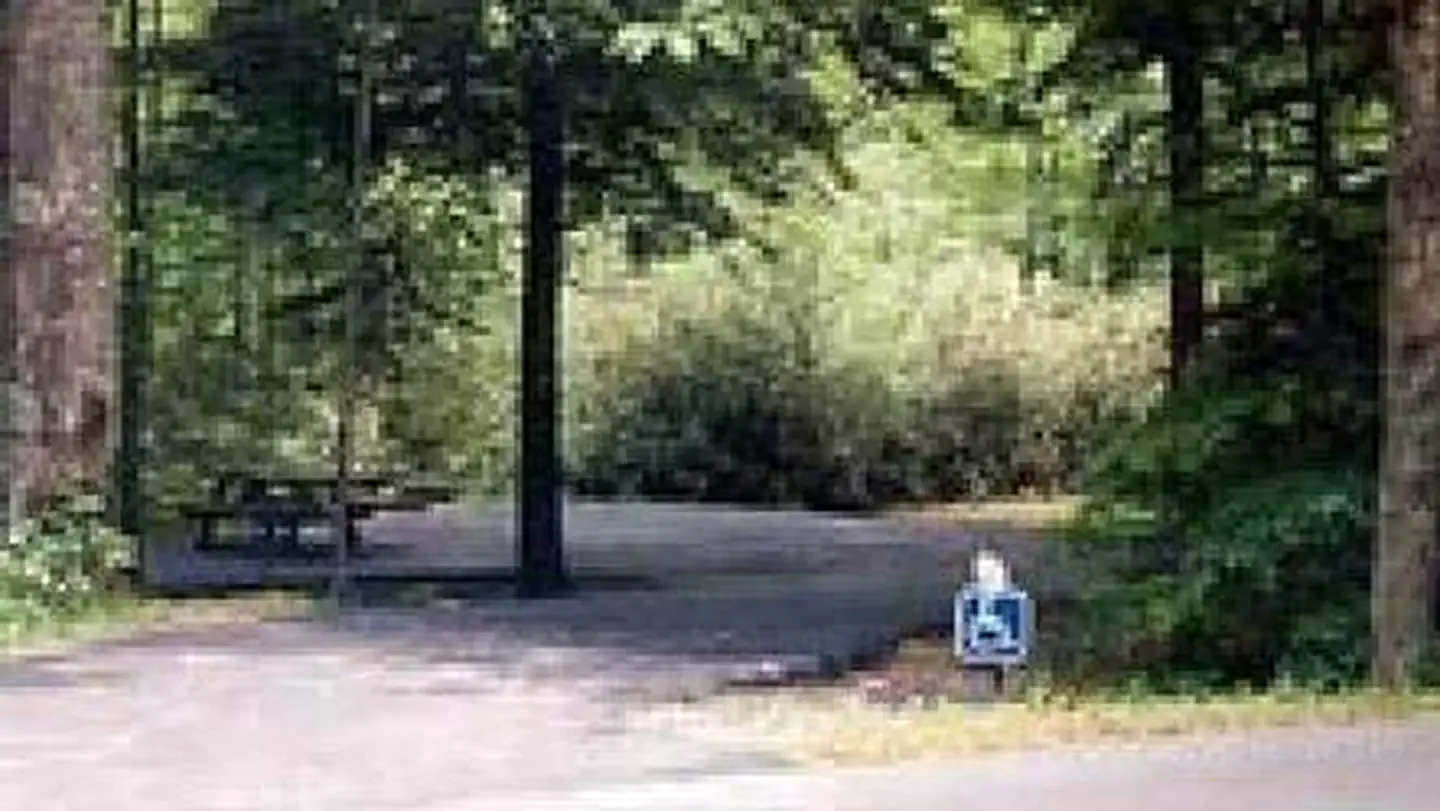
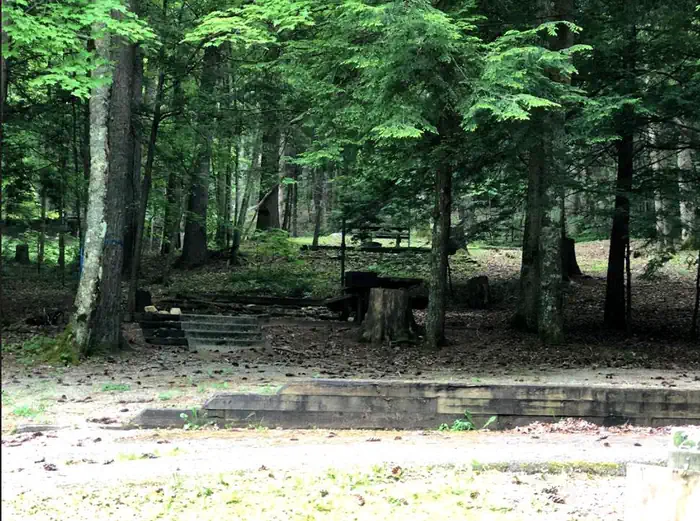
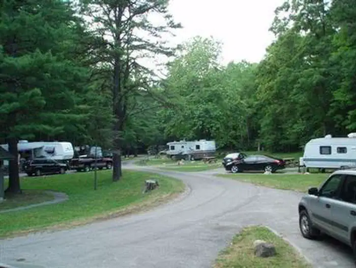
Stay nearby
Campgrounds near this trail


Similar length
Similar trails in Virginia
Old Rag Mountain Loop
Virginia
McAfee Knob via Appalachian Trail
Virginia
Raven Rocks via Appalachian Trail
Virginia
Burke Lake Trail
Virginia
Little Devils Stairs Trail
Virginia
James River North Bank and Buttermilk Loop Trail
Virginia