Status unknown — verify before visiting

We don't have current condition data for this trail. Check with the land manager before you go.

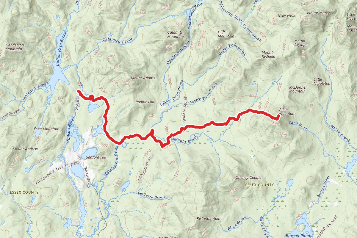
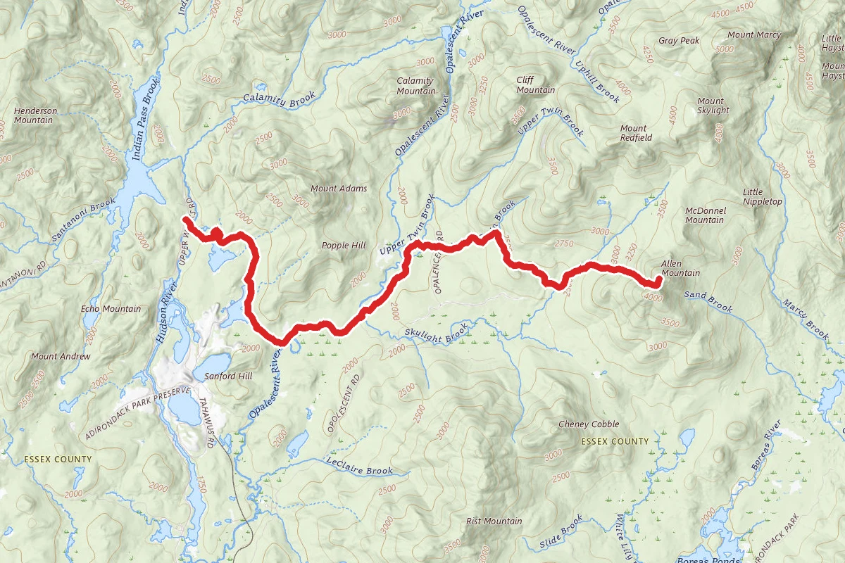
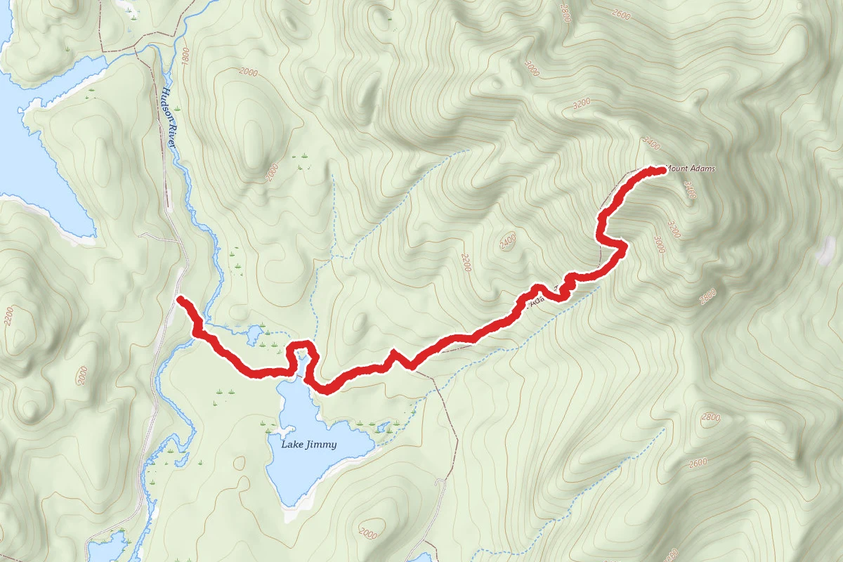
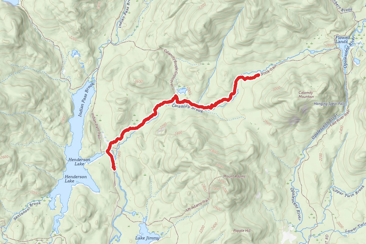
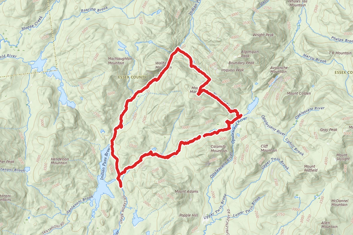
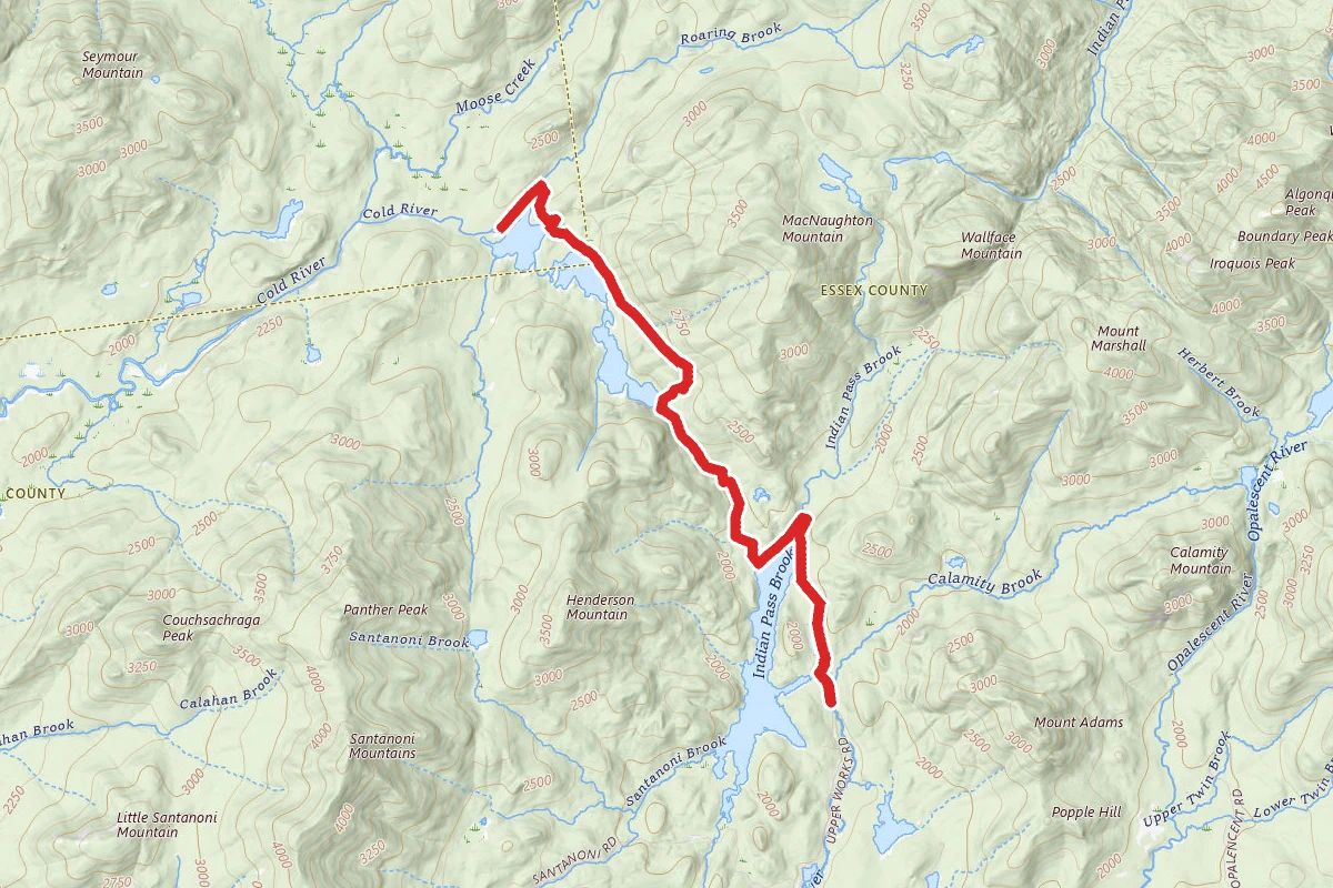
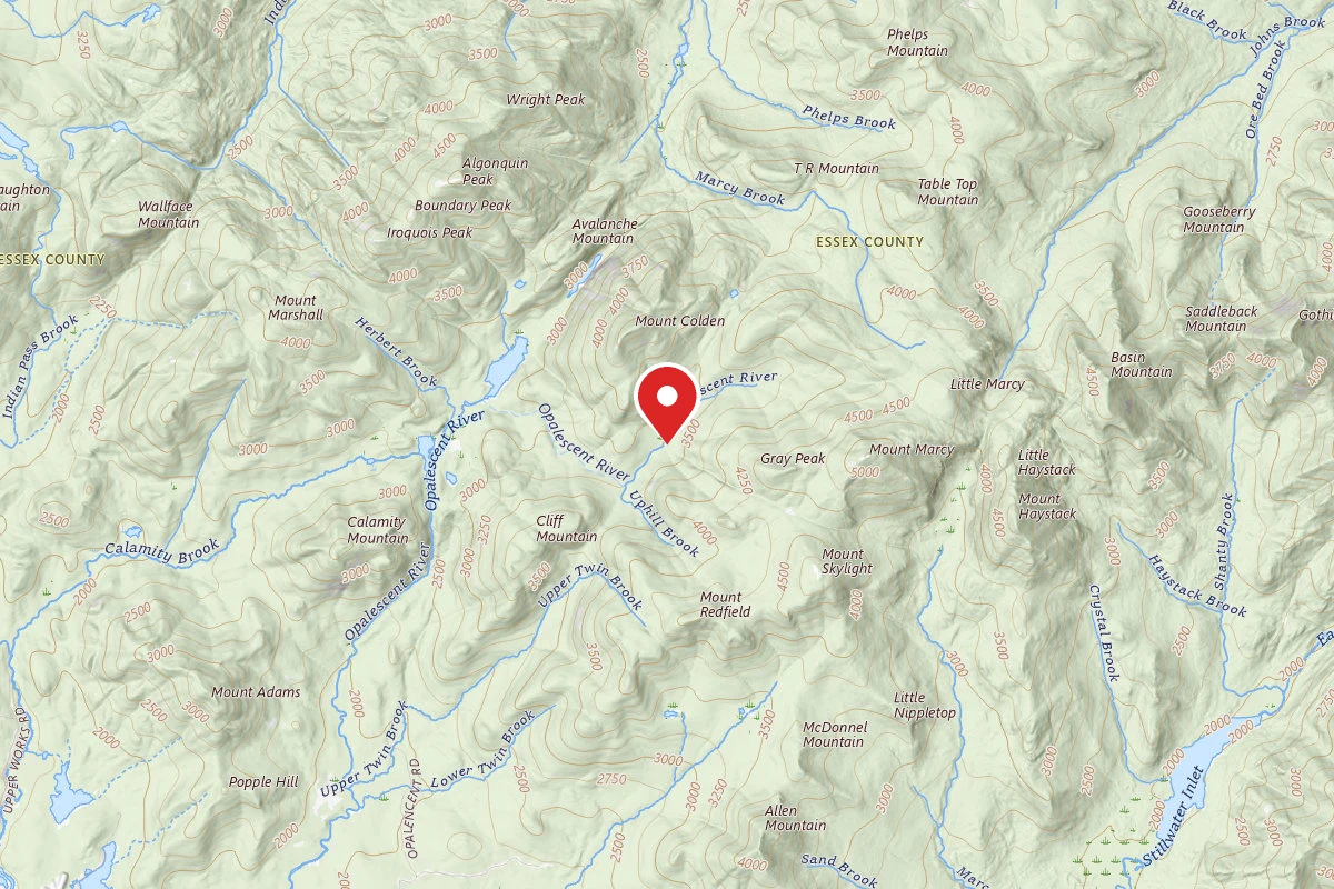
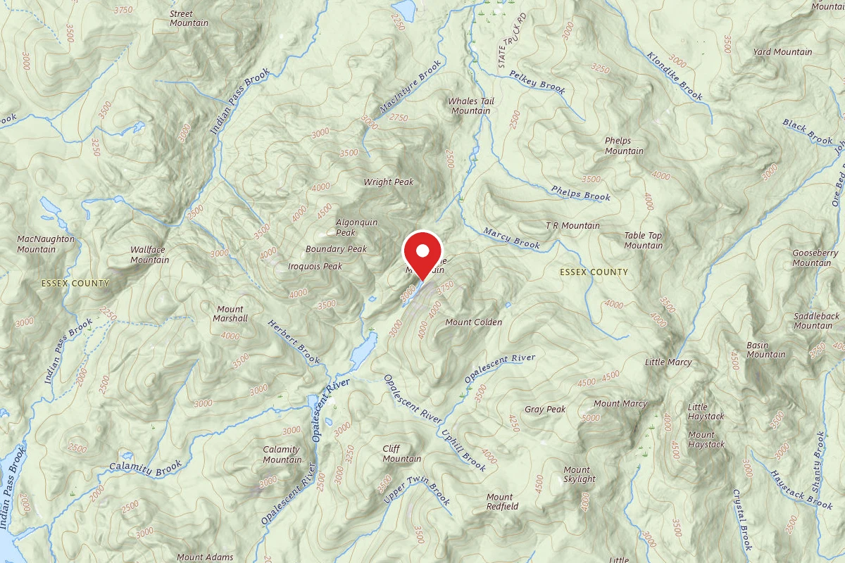
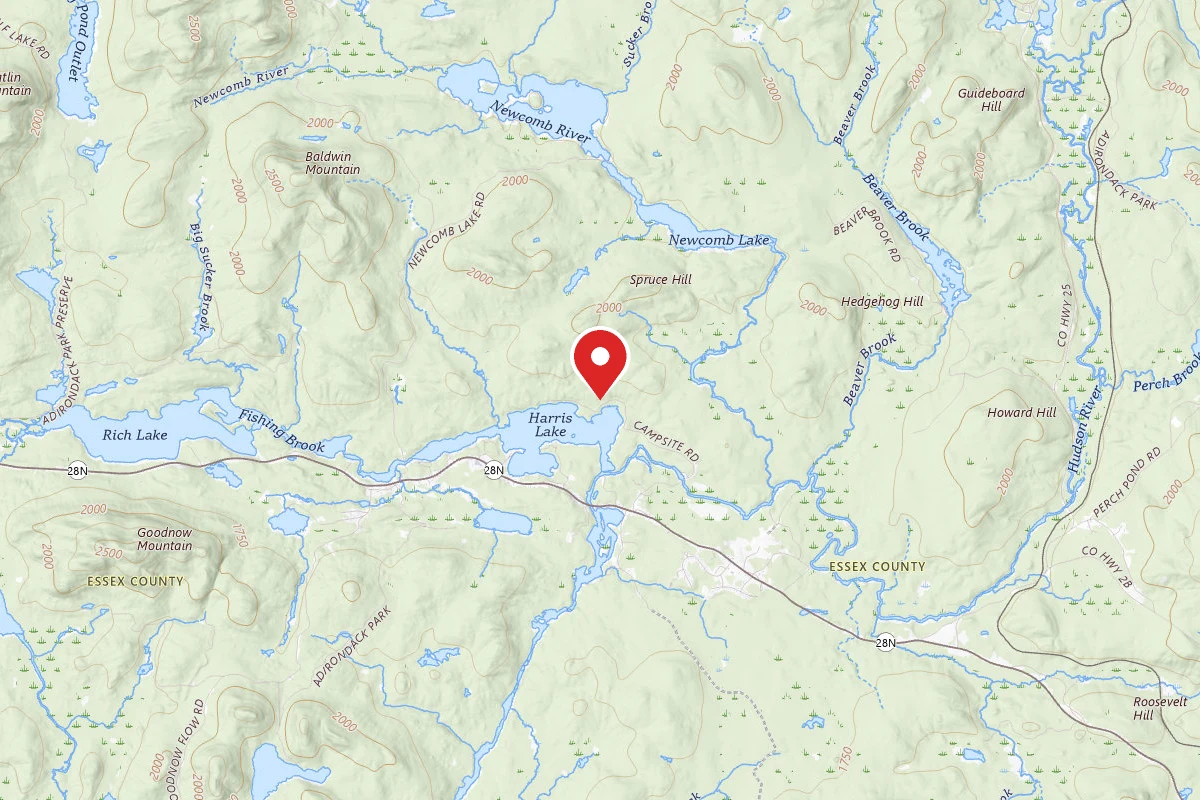
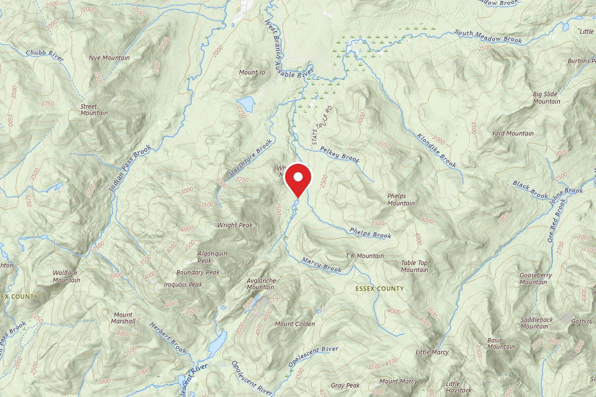
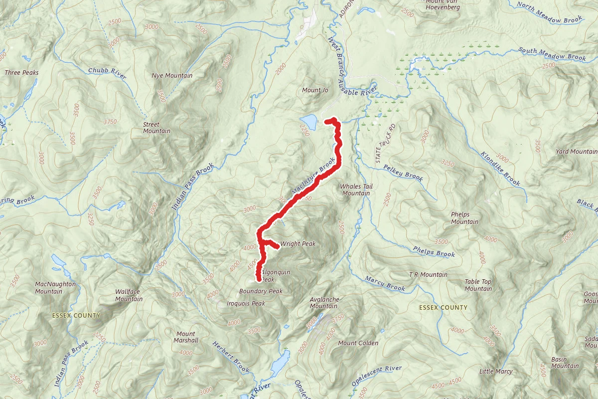
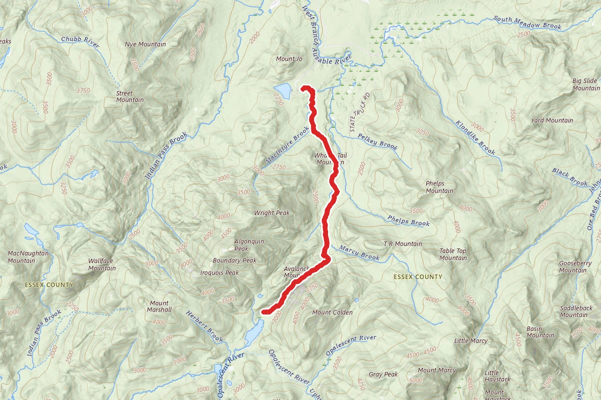
Santanoni Peak route map
DifficultOut and Back

Santanoni Peak

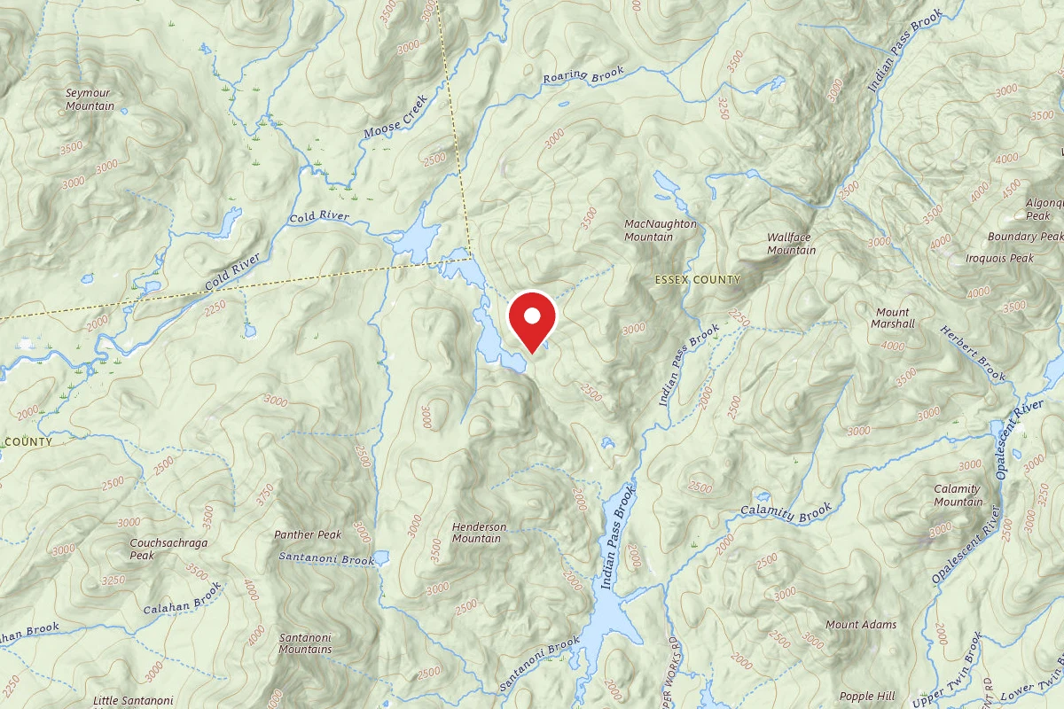
Newcomb, New York

9.8 mi

Distance

3,258 ft

Elev. Gain

4h 47m

Est. Time

Out & Back

Route Type

Difficult

Difficulty

About This Trail

Imported description
This trail leads to Duck Hole through the pass between the Santanoni range and Henderson Mt. and gives access to the paths up Santanoni, Panther and Couchsachraga peaks. With the recent acquisition, the R side of the closed old trail to Santanoni Peak is again open. From the trail register (0.0 mi), the trail follows a good gravel road with blue markers at gentle grades. At 1.1 mi it crosses the outlet to Harkness Lake, where there is a great view of Wallface Mt. The trail now climbs over a small rise, drops down, and begins a longer climb that eases just before a sharp R turn off the road at 1.8 mi. The trail now descends along the R bank of a brook, crosses the brook on a good bridge, and continues on the flat through a grassy clearing with plenty of raspberries. At the far end of the clearing the trail swings L and crosses Santanoni Brook at 2.1 mi on an elaborate bridge with a series of log steps up the far bank. At the top of the bank, the trail swings L onto an old tote road and begins ascending at easy to moderate grades up the valley to a series of beautiful Cascades on the L at 3.4 mi. Approximately 200 yd past the cascades, the now legal path to Santanoni Peak goes L just after a sharp R turn at the end of a muddy area. The name of the highest peak W of the Hudson River and the dominating one in the range is derived from Saint Anthony. This name filtered down through the French Canadians to the Abenaki Indians, who adopted their own pronunciation of the words. This path follows the route of a trail originally cut by the Tahawus Club. Formal maintenance ceased at least 70 years ago and only sporadic informal maintenance kept this trail passable through to 1980 when the private landowner closed it to public travel. Since the sale of this land to first the Open Space Institute and then to the state, a new round of informal maintenance has again made this a feasible route direct to or from Santanoni. The path starts at 3.5 mi. on the Duck Hole via Bradley Pond trail at a cairn approximately 200yd past the cascades in Santanoni Brook. The path immediately crosses the brook and then veers L to avoid beaver activity. It then follows the R bank of Santanoni Brook before pulling steeply away and up to a reroute to the R of the "Hillary Step" at just over a mile from the marked trail. Soon climbing steeply through thick scrub to an open knob just N of the actual summit at about 2 mi from the marked trail. Here the path joins the path that follows the crest of the ridge between Panther Peak and Santanoni Peak. For those electing to descend this path, the open knob is the second bump N of the actual summit.

Trail Conditions

Trail Conditions

Unknown

We have no current condition data for this trail. Check with the operator before you go, and submit a report below if you've been recently.

No recent condition reports. Be the first to share what you see on the trail.

Elevation Profile

Min:538 ft
Max:1,388 ft
993 ft
993 ft
538 ft821 ft1,105 ft1,388 ft0.0 mi2.5 mi4.9 mi7.4 mi9.8 mi

Trail Details

Route Type
Out & Back
Surface
Dirt

Official sources & verification

We don't have curated agency sources for this trail in our cache yet. Outdoors is not the permitting authority — confirm conditions, permits, and access with the managing agency before you go. If you know who manages this trail, please tell us.

Reviews

No reviews yet

Be the first to share your experience and help others plan their visit.

Legacy import — verify before navigating

Path geometry came from our pre-launch legacy database. Routes have not yet been re-verified against the operator and may differ from the actual trail.

Spot an error in our data on Santanoni Peak?