Status unknown — verify before visiting

We don't have current condition data for this trail. Check with the land manager before you go.

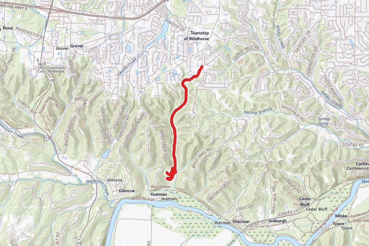
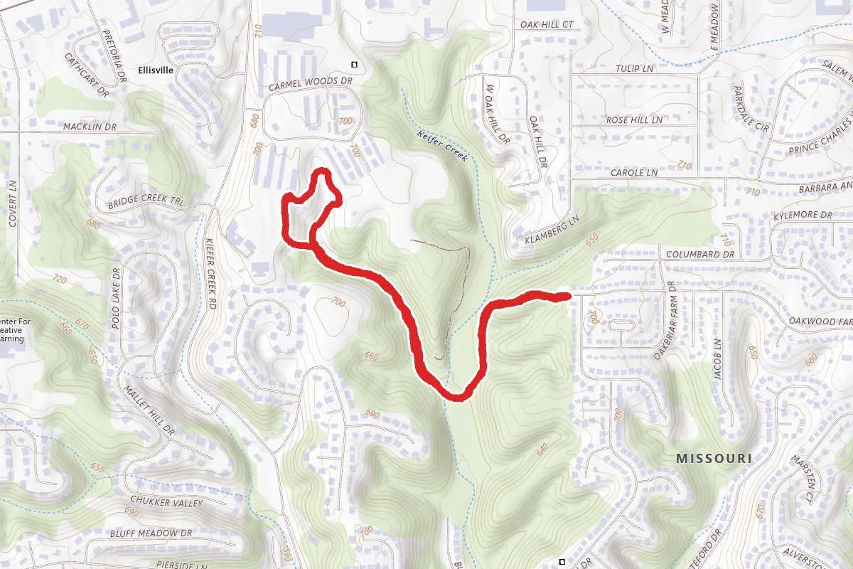
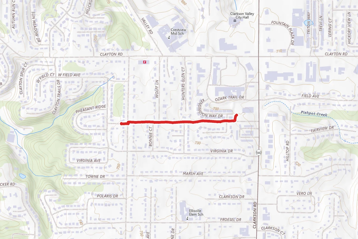
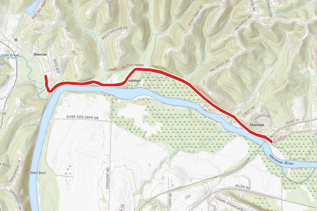
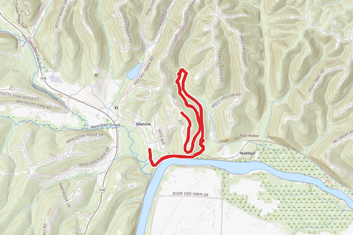
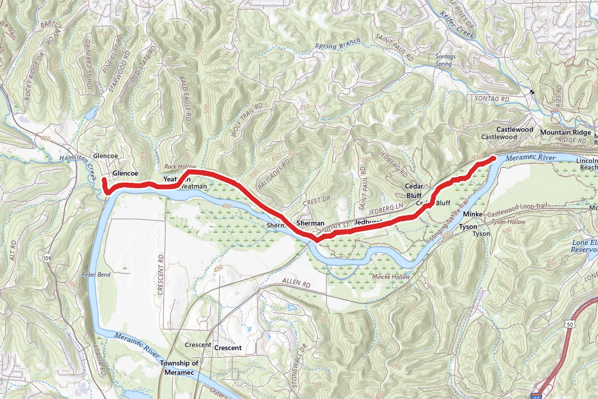
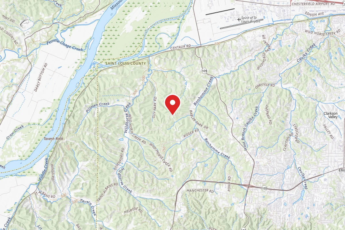
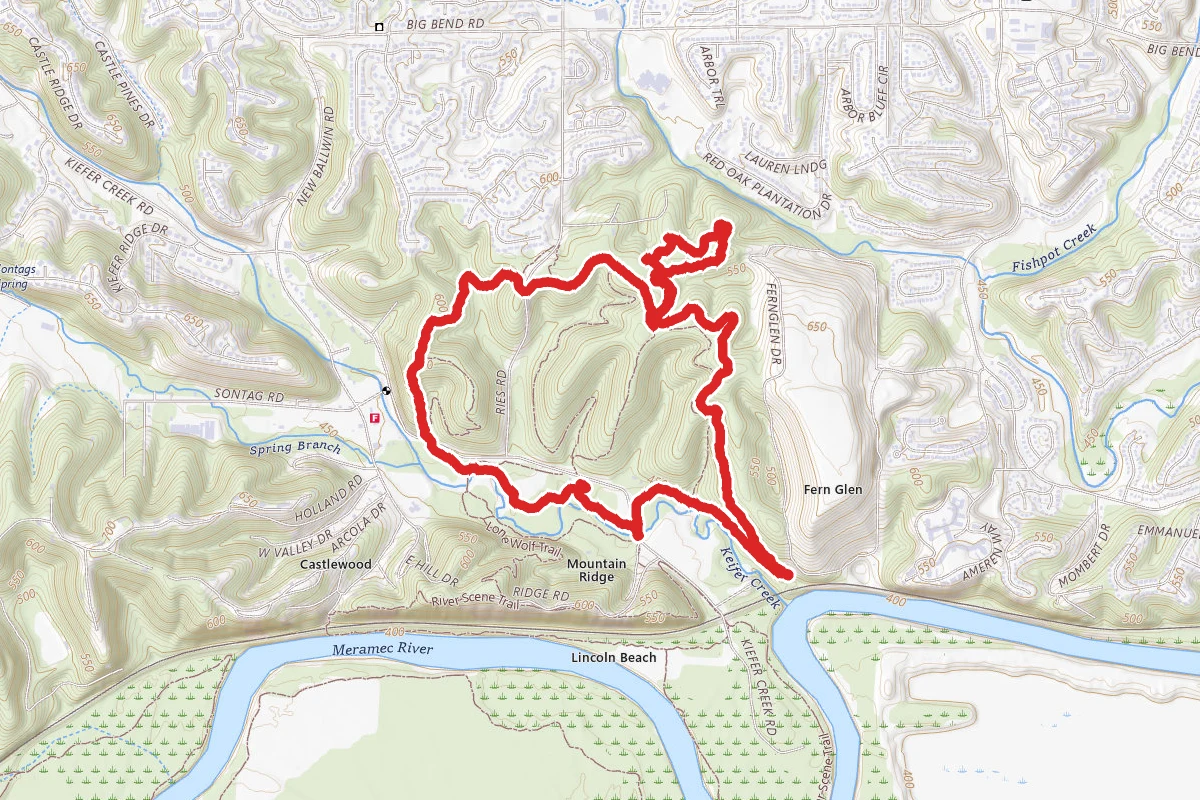
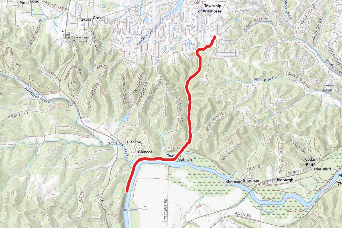
Rock Hollow Trail route map
DifficultOut and Back

Rock Hollow Trail

Ballwin, Missouri

7.1 mi

Distance

945 ft

Elev. Gain

2h 33m

Est. Time

Out & Back

Route Type

Difficult

Difficulty

About This Trail

Imported description
Rock Hollow is a narrow, deep valley just north of the Meramec River. The park is known for its high quality flora and unique geological formations. Its steep rocky terrain provides many vistas, and scenic overlooks. The relief of the park is over 300 feet. Huge natural rock outcroppings, some 8 to 10 feet tall form walls at the higher elevations of the slopes. The Park consists of one major valley with the park boundaries going up of the surrounding hillsides. The ridge tops are in private ownership. Multiple side drainages feed into the main creek within the valley. The intermittent creek that runs the length of the tract shows evidence of large volumes of water flowing down the creek during times of precipitous events. Numerous seeps and small springs occur along the rocky slopes. The rocky outcroppings attest to the ruggedness of the hills. The rocky outcroppings harbor multiple species of ferns, mosses and lichens. Rock Hollow is known for its steep hills, rocky outcroppings and its showy display of spring wildflowers. During the spring months the valley is a hue of blue from Bluedeyed Marys and bluebells. Generally, mid to late April is the best display for the bluebells. Because of the various different habitats the park harbors many different species of spring wildflower which would include some of the following: shooting stars, green dragon, jack in the pulpit, glade onion, false onion, Solomons seal, birds foot violet, puccoon and a host of many other species. All of Rock Hollow Parksite consists of mature woodland. In the lower elevations of the valley large Ohio buckeyes, oaks, hickories, Kentucky coffee tree can be found. Drought resistant chinkapin oaks, blackjack oaks and other species can be found on the upland west and south slopes. White oaks dominate the east and share dominance with northern red oaks on the north facing slopes. The steep rocky west and south facing slopes, with numerous rock outcroppings house many of the same herbaceous plants that can be found on the savanna sites at Greensfelder. These same rocky areas harbor cedar glades similar to West Tyson. These long linear rock outcroppings occur along the same elevation and may be 4 to 8 feet in height with some reaching 12 feet. Some of the rock outcroppings consist of dolomite while others are made up of sandstone. Located in the north-west portion of the park along a steep south facing rocky slope are numerous lowbush blueberries. Revealed in the 1936 aerial photo the southern portion of the park was a small agriculture field. Open woodlands occurred along the old roadway on both the east and west sides of the road. The old roadway, Lawler Ford, can be seen on maps of the area dating back to the 1870s. The road was used to access a shallow area in which to cross the Meramec. A ferry also operated in the area to connect the north and south sides of the river. This operation apparently was not very profitable and was discontinued in a few years. In 1980 Bakewell Corporation purchased the property and subdivided it with the intent of developing the property. However the development never took place. One hundred and forty six acres of the original property was sold to the Parks Department in 1995. Bakewell Corporation continued to own the remaining 106 acres of land until it was purchased by the Great Rivers Greenway in 2003. Total Rock Hollow Parksite consists of 152 acres. Known for its zombies and bluebells the Rock Hollow Trail follows a narrow creek valley from the Meramec River up to the ridgetop. This 2.2 mile asphalt trail provides some stunning beauty. Each season brings something of interest to the trail user. The entire valley is heavily wooded. A small spring can be found about 40 yards behind the first bench. The spring outlet is at the base of a hill. The moist conditions make the spring pool and run a good habitat for mosses. The spring feeds the main creek but because of all of the creek rock in the main creek the spring water just disappears among the rock. It is still flowing but not on the surface. Some of the largest Ohio Buckeyes can be found just north of the first set of benches. Carrying buckeye seeds in ones pocket has been thought to bring good luck in folklore. However the seeds are toxic to humans and livestock if ingested. The buckeye is one of the first trees to lose its leaves in the fall of the year. Oh yeah! Zombies! It seems there have been some abnormal characteristics discovered by some paranormal groups that have been to the park in years past. Cold areas, mysterious shadows, strange lights all make for a good urban legend.

Trail Conditions

Trail Conditions

Unknown

We have no current condition data for this trail. Check with the operator before you go, and submit a report below if you've been recently.

No recent condition reports. Be the first to share what you see on the trail.

Elevation Profile

Min:124 ft
Max:228 ft
288 ft
288 ft
124 ft159 ft193 ft228 ft0.0 mi1.8 mi3.5 mi5.3 mi7.1 mi

Trail Details

Route Type
Out & Back
Surface
Dirt

Official sources & verification

We don't have curated agency sources for this trail in our cache yet. Outdoors is not the permitting authority — confirm conditions, permits, and access with the managing agency before you go. If you know who manages this trail, please tell us.

Reviews

No reviews yet

Be the first to share your experience and help others plan their visit.

Legacy import — verify before navigating

Path geometry came from our pre-launch legacy database. Routes have not yet been re-verified against the operator and may differ from the actual trail.

Spot an error in our data on Rock Hollow Trail?