Status unknown — verify before visiting
We don't have current condition data for this trail. Check with the land manager before you go.
14.5 mi
Distance
814 ft
Elev. Gain
4h 51m
Est. Time
Point to Point
Route Type
Easy
Difficulty
About This Trail
Imported descriptionTrail Conditions
Trail Conditions
We have no current condition data for this trail. Check with the operator before you go, and submit a report below if you've been recently.
No recent condition reports. Be the first to share what you see on the trail.
Elevation Profile
Trail Details
- Route Type
- Point to Point
- Surface
- Dirt
Official sources & verification
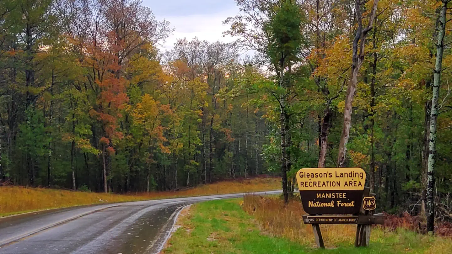
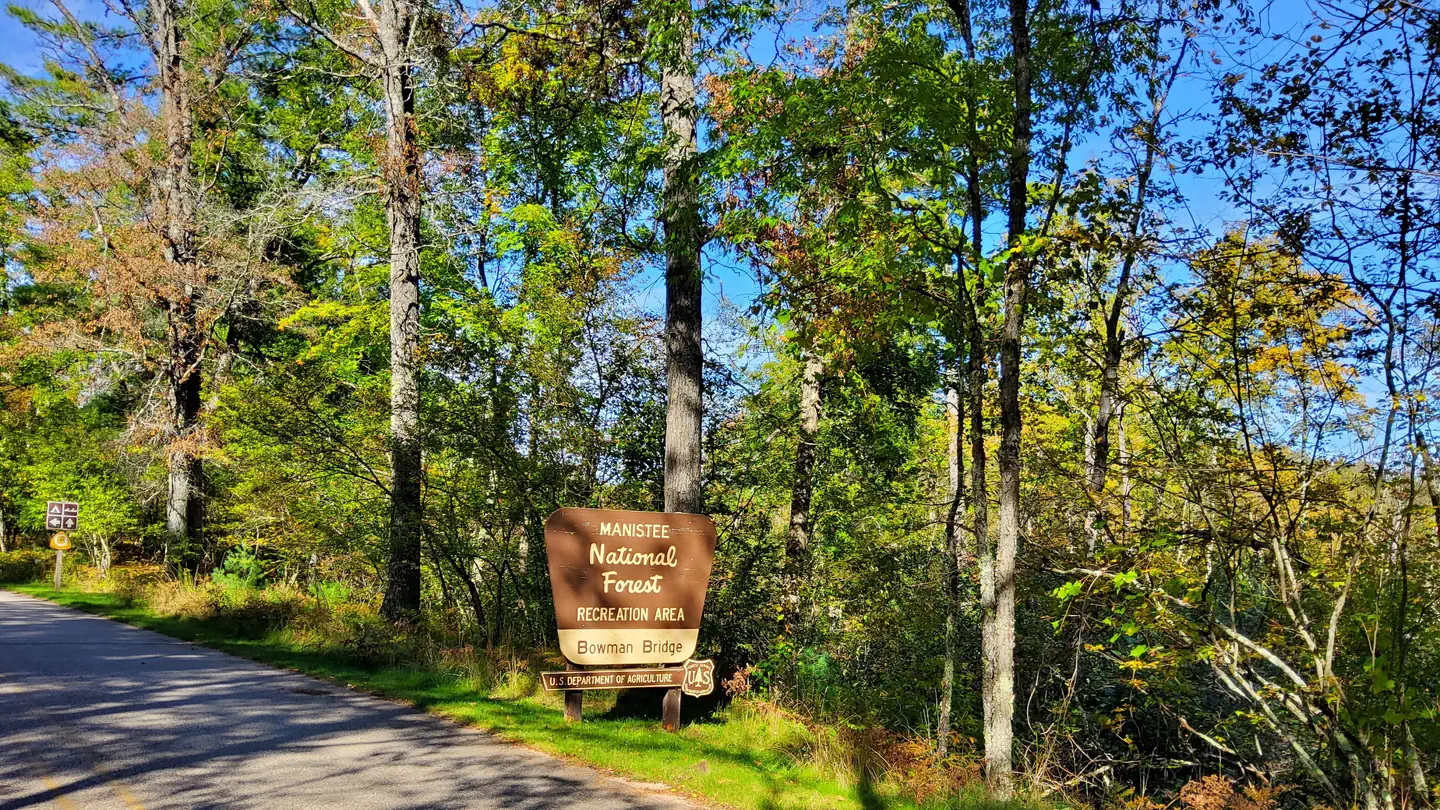
Managed by United States Forest Service
Managing agency
- United States Forest Service
Find offices, alerts, and current orders for this agency.
Verify by phone or mail
- Address:MI
Reviews
No reviews yet
Be the first to share your experience and help others plan their visit.
Legacy import — verify before navigating
Path geometry came from our pre-launch legacy database. Routes have not yet been re-verified against the operator and may differ from the actual trail.
Nearby Trails
More trails near Pere Marquette River Float
Pine Forest Pathway
Sheep Ranch Pathway
Leaf Lake and Condon Lake via North Country Trail
Birch Grove Connector Trail and North Country Trail Loop
Pine Valleys Pathway Middle Loop
Hungerford Lake Recreation Area Cross Country Ski Trails
In this park
Other trails in Manistee National Forest
Nordhouse Dunes Trail
Michigan
Birch Grove Connector Trail and North Country Trail Loop
Michigan
Nordhouse Dunes Extended Backpacking Loop
Michigan
North Country Trail - M20 to Echo Dr
Michigan
Big M Trail
Michigan
Little Muskegon River
Michigan
Stay nearby
Campgrounds near this trail
Similar length
Similar trails in Michigan
Mosquito Falls and Chapel Falls via Chapel Loop
Michigan
Potawatomi Trail
Michigan
Highland A-B-C-D MTB Loop
Michigan
Pontiac Lake Recreation Area Trail
Michigan
Upper and Lower Tahquamenon Falls
Michigan
Island Lake Blue and Yellow Trail Loop
Michigan