Status unknown — verify before visiting

We don't have current condition data for this trail. Check with the land manager before you go.

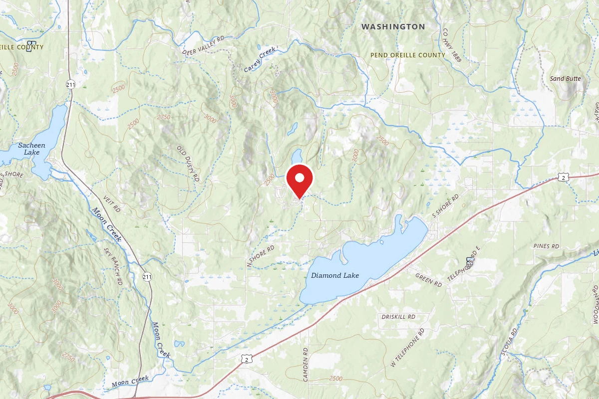
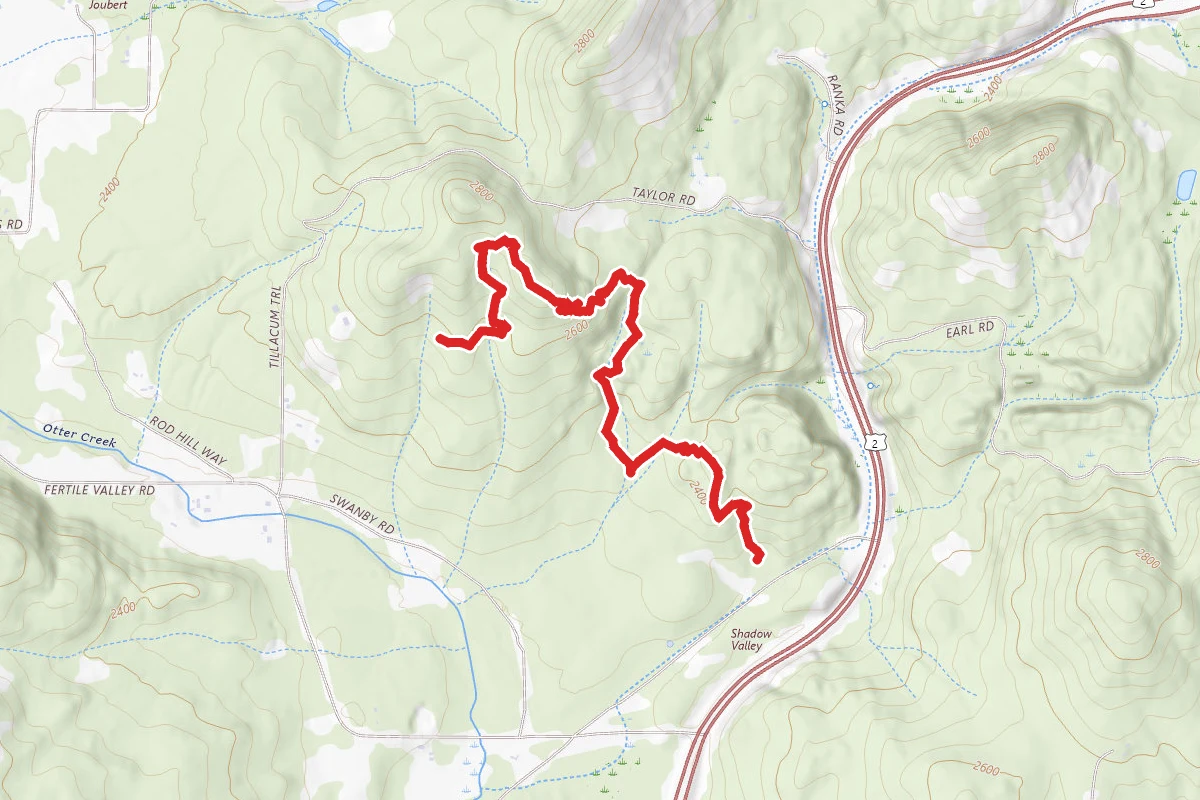
Pend Oreille Pathfinder Loop route map
ModerateOut and Back

Pend Oreille Pathfinder Loop

Newport, Washington

3.8 mi

Distance

912 ft

Elev. Gain

1h 42m

Est. Time

Out & Back

Route Type

Moderate

Difficulty

About This Trail

Imported description
Pend Oreille County Park has over 7 miles of dirt trails in an old growth forest setting. This hike outlines the largest loop possible in the park. The route follows three of the named trail sections: Pathfinder, Big Sky Loop and Orion's Path. There are a number of shorter loops as well as out-and-back hike options. The park map has an intuitive route system where each intersection is numbered. If you lose your way, hike until you encounter a trail intersection with a numbered marker to find your location on the park trail map. There is a pdf version of the map available on the Pend Oreille County website, and a photo of the map is also included here. Approximate locations of the numbered intersections have been added as waypoints for convenience. Each trail section has a creative name that adds charm to the park. Names include Big Sky Loop, Pathfinder, Veronica's Prom, Pentstemon Point, Arrowleaf Ridge, Ginger's End, Powerline, Ladyslipper, Firetrail and Orion's Path. This full loop takes in most of the best views in the park. Most of the trail is heavily forested, so there are not many open, panoramic views. This is a good place to come on a hot day because there is very little sun exposure. Many trails are very overgrown, which can lead to mild frustration. Trust the map and push through the short sections of head-to-toe thickets to continue. There are a few true dead ends in the trail system, so be aware of where those occur. In addition to trails indicated on the park map, there are at least two other significant sections not mapped. You will know the unofficial trails by their lack of numeric markers at the intersections. The best place to park is at the day use area. It is located at the first right turn after the park entrance. There is no fee, but donations boxes are on site.

Trail Conditions

Trail Conditions

Unknown

We have no current condition data for this trail. Check with the operator before you go, and submit a report below if you've been recently.

No recent condition reports. Be the first to share what you see on the trail.

Elevation Profile

Min:706 ft
Max:841 ft
278 ft
278 ft
706 ft751 ft796 ft841 ft0.0 mi0.9 mi1.9 mi2.8 mi3.8 mi

Trail Details

Route Type
Out & Back
Surface
Dirt

Official sources & verification

We don't have curated agency sources for this trail in our cache yet. Outdoors is not the permitting authority — confirm conditions, permits, and access with the managing agency before you go. If you know who manages this trail, please tell us.

Reviews

No reviews yet

Be the first to share your experience and help others plan their visit.

Legacy import — verify before navigating

Path geometry came from our pre-launch legacy database. Routes have not yet been re-verified against the operator and may differ from the actual trail.

Hunt context

This trail crosses hunting units

During hunting seasons, wear blaze orange and check regulations — see the Washington hunting page

Spot an error in our data on Pend Oreille Pathfinder Loop?