Status unknown — verify before visiting

We don't have current condition data for this trail. Check with the land manager before you go.
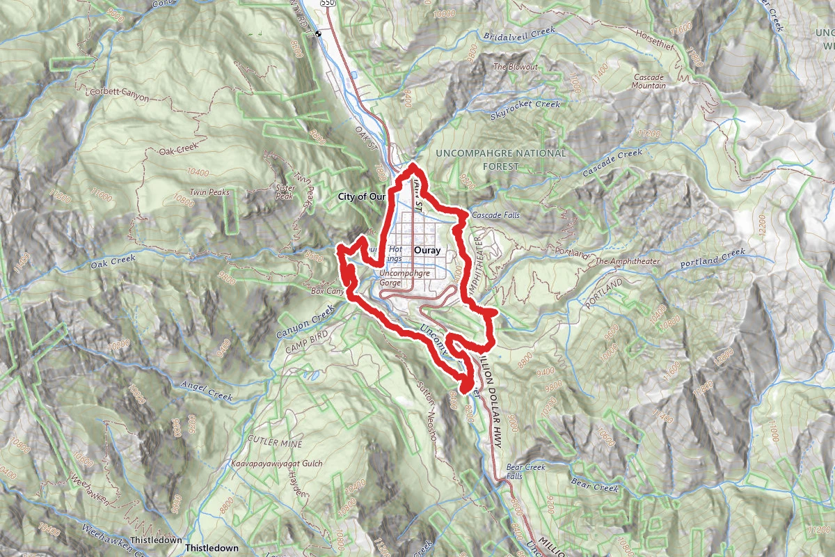
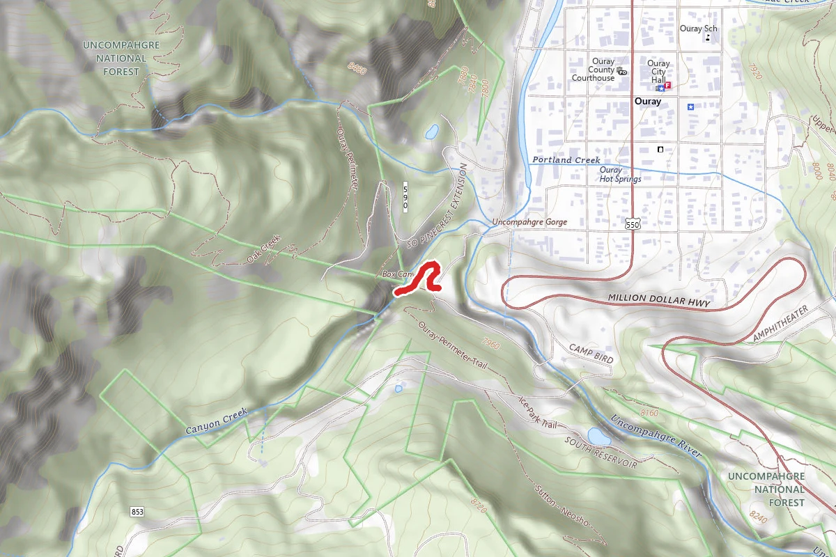
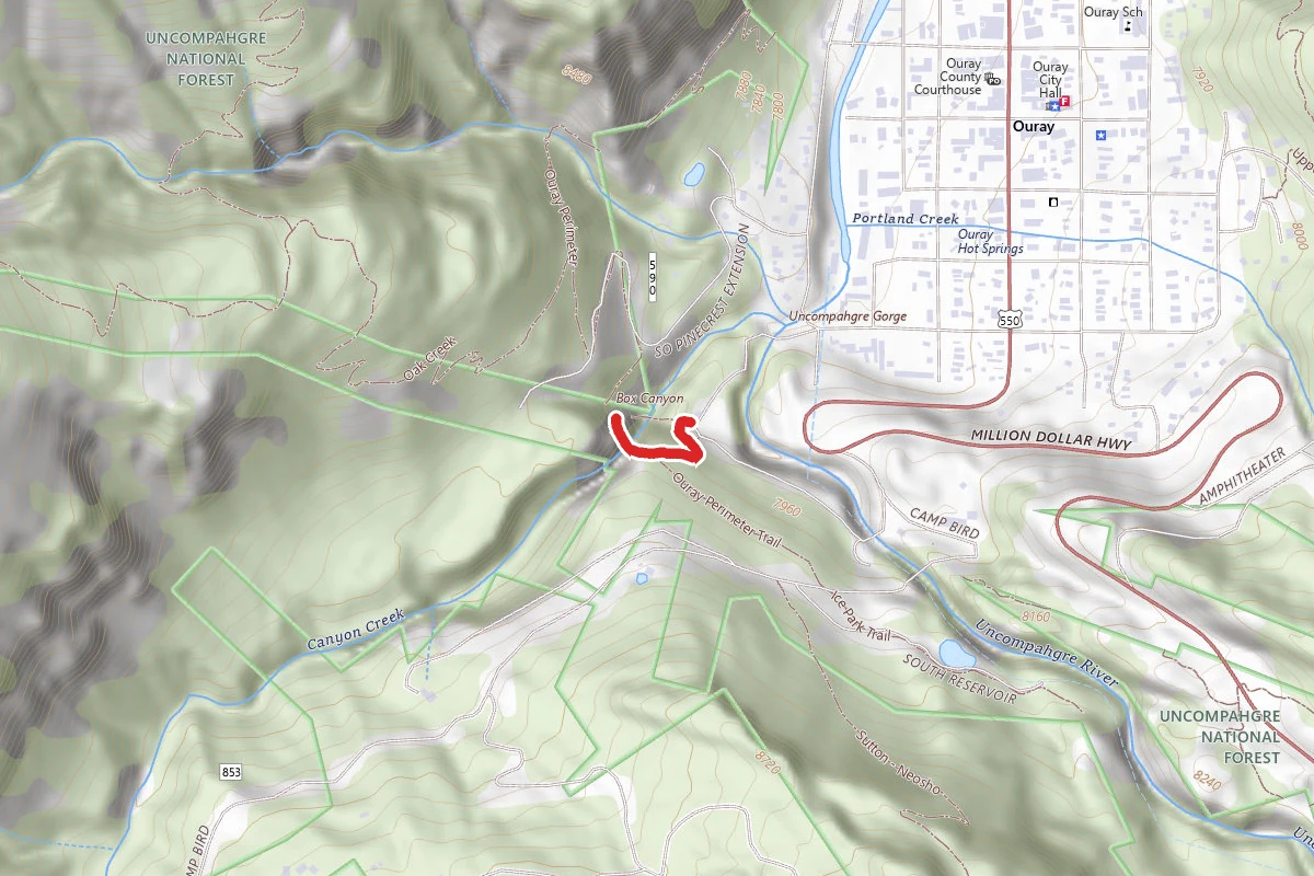
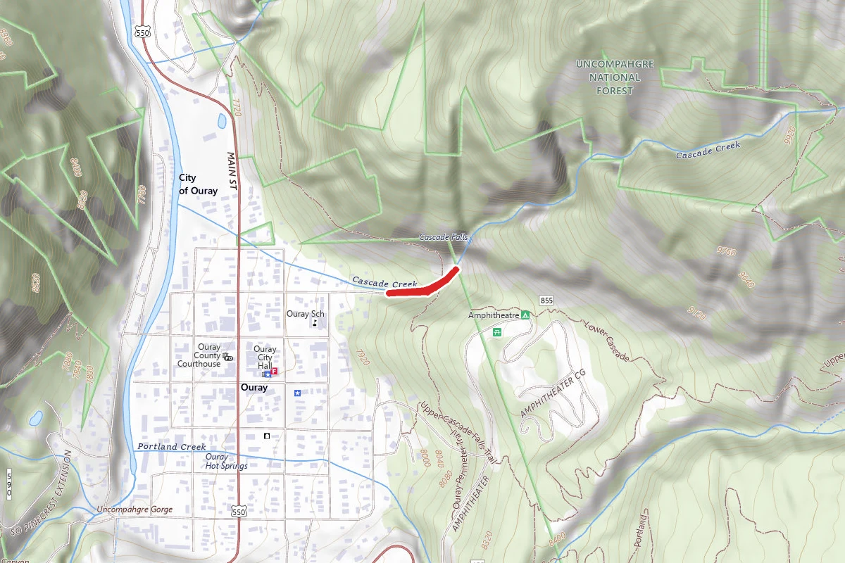
Ouray Perimeter Trail route map
DifficultLoop

Ouray Perimeter Trail

Ouray, Colorado

5.6 mi

Distance

2,477 ft

Elev. Gain

2h 37m

Est. Time

Loop

Route Type

Difficult

Difficulty

About This Trail

Imported description
Please note: it has been reported this trail has been expanded to include the Ice Park Loop. Rings the town of Ouray. It is relatively easy, but has some areas that could be considered challenging for people not in shape. TRAILHEAD: Ouray's Perimeter Trail, a unique five miler, features the surrounding cliffs and mountains. It begins across from the Ouray Visitors' Center on the east side of US 550. (Please wear boots or sturdy shoes on this mountain trail!) Parking space is available behind the Visitor's Center. ATTRACTIONS AND FEATURES: To begin, walk across the road to a large pink boulder, sign and tree. The trail starts on a wood edged path north of a planted berm behind some condos. It climbs wood stairs in the hillside to Cascade Cliff. Hike south on the cliff path .7 mile to Cascade Falls and Cascade Creek bridge. Cross the bridge, and continue uphill on Lower Cascade Trail to a right turn (.9 mile). (At the first clearing, ahead of you to the south are Ouray's signature views of Mt. Abram, 12,801', and Hayden Mountain, 11,475'. The southwest skyline shows U.S. Mountain, 13,036'. To the west are Whitehouse Mountain, 13,452', and Twin Peaks, 10,798'.) Cross the 5th Avenue Trail and continue hiking to the Amphitheater Campground Road (1.3 miles). Turn right and walk down the road .1 mile to the Baby Bathtubs Trail. Ascending this section, you will reach a shallow, often dry, crossing of Little Portland Creek with lots of little rock bathtubs (great for kids to play in). Walk uphill to the left, parallel to the larger Portland Creek, to a footbridge. Across the bridge, walk 300' to a trail fork and turn left. Here, you will enter the Three Pines Day Use Area. Go south across the picnic space and follow the trail through forest about 1,000' and exit onto Portland Mine Road. Follow the road uphill 300' and turn right into the old miners' Potato Patch. (They really grew potatoes here.) Hike across the Patch, following posts and cairns to a spartan, rocky upland of cactus and flowers in spring and summer. This is the trail's highest elevation (8,500'). Enjoy the views! (Behind and to the east is the 3,000' gray Amphitheater wall; to the west is Hayden Mountain. Downhill is US 550 and the Uncompahgre Gorge.) Descend to the highway and cross carefully, listening and looking for traffic. Turn left at the Ice Park Trail, following the hydroelectric dam access road to a trail going west downhill to the gorge and river bridge. Cross the bridge, taking time to admire the views and continue uphill to the old pipeline and a metal stile. Over the stile, turn right (north) and walk along the Ice Park access road. Past the Ice Park Reservoir (a great swimming hole for dogs), veer slightly off the road to a trail that soon crosses CR 361 and heads to the Box Caon high bridge. (If you decide to tour Box Caon Park, there is a $4 fee.) Cross the suspended bridge over Caon Creek's spectacular gorge to Ouray's old water tunnel. (The ceiling is low; watch your head.) Past the tunnel, steep stairs lead down the cliff along the gorge. The Perimeter Trail currently ends at South Pinecrest Street, a mile from the Visitors' Center. At this point, walk straight downhill to Queen Street, turn right, go a block to Oak Street and turn left. (Views to the north and east include Ouray; Gold Hill and the Blowout, 10,587'; Cascade Mountain, 11,000'; the Amphitheater and Cow Mountain, 13,111'.) Walk north on Oak Street past 7th Avenue to the City's Maintenance Shop near Fellin Park. Cross the footbridge and return to the Visitors' Center where you began. For those who wish to see a particular section of the Perimeter Trail, hike a connecting trail, or leave the trail part way, the map on the back shows several trail access points. The complete trail can also be shortened to 4.2 miles at the crossing of US 550 by turning right on the Ice Park Shortcut. You then will exit on the east side of the Uncompahgre Bridge. To continue, walk across the bridge and up CR 361 for 500' to the right hand trail leading to Box Caon High Bridge.

Trail Conditions

Trail Conditions

Unknown

We have no current condition data for this trail. Check with the operator before you go, and submit a report below if you've been recently.

No recent condition reports. Be the first to share what you see on the trail.

Elevation Profile

Min:2,350 ft
Max:2,594 ft
755 ft
755 ft
2,350 ft2,431 ft2,513 ft2,594 ft0.0 mi1.4 mi2.8 mi4.2 mi5.6 mi

Trail Details

Route Type
Loop
Surface
Dirt

Official sources & verification

Managed by United States Forest Service

Verify before you go

Managing agency

Verify by phone or mail

  • Address:CO
We display cached information from agency feeds. Hours, fees, permits, closures, fire restrictions, and conditions change without notice. Outdoors is not the permitting authority. Confirm current conditions for this trail using the links above before you go — you are responsible for compliance. Last verified by us: May 23, 2026. Our copy is more than a month old — please reconfirm with the agency before relying on it.Spot an error in our data?

Reviews

No reviews yet

Be the first to share your experience and help others plan their visit.

Legacy import — verify before navigating

Path geometry came from our pre-launch legacy database. Routes have not yet been re-verified against the operator and may differ from the actual trail.

Hunt context

This trail crosses hunting unit

During hunting seasons, wear blaze orange and check regulations — see the Colorado hunting page

Spot an error in our data on Ouray Perimeter Trail?