Moderate
12.4 mi
Distance
2,172 ft
Elev. Gain
5h 2m
Est. Time
0.0
0 Reviews
About This Trail
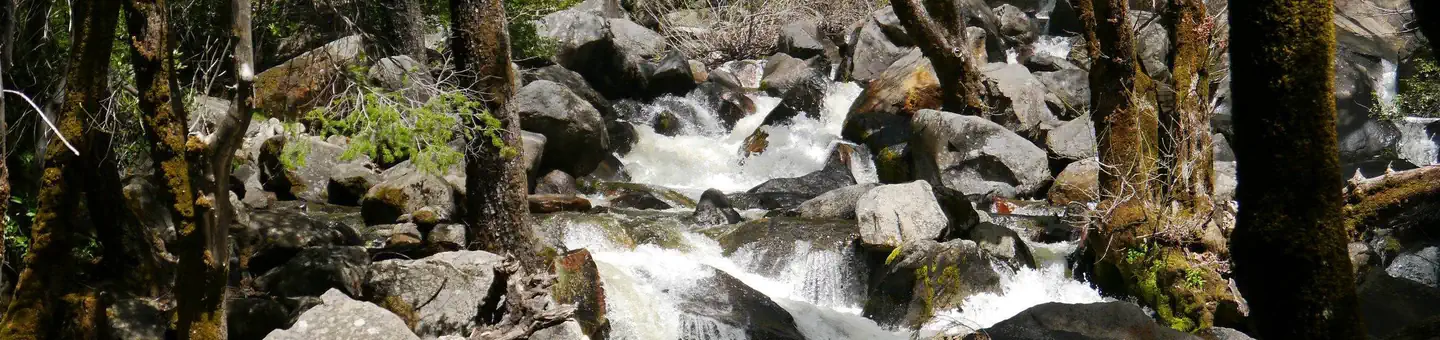
The hike from 7000 ft to over 8600 ft takes 12.4 miles. The trail head is off Glacier Point Road. The first 3 miles of the hike are fairly flat. The next 3 miles are at a 10% grade. The mountain crests at about 5 and 1/2 miles and then drops down to Ostrander Lake.
Trail Details
Out & Back
Route Type
Dirt
Surface
No Dogs
Dog Policy
Yes
Kid Friendly
No
Permit Required
Elevation Profile
Min:2,145 ft
Max:2,642 ft
662 ft
662 ft
Reviews
No reviews yet
Be the first to share your experience and help others plan their visit.
Trail Conditions
Trail Conditions
Unknown
Updated Unknown
No recent condition reports. Be the first to share what you see on the trail.
Nearby Trails
More trails near Ostrander Lake Trail [CLOSED]Bridalveil Creek Loop Trail [CLOSED]
10.0 km
Moderate
Mono Meadow Trail [CLOSED]
9.3 km
Moderate
Bridalveil Creek Campground to Ostrander Lake Loop [CLOSED]
34.8 km
Moderate
Pohono Trail via McGurk Meadow Trail [CLOSED]
24.8 km
Moderate
Dewey Point via McGurk Meadow Trail [CLOSED]
12.1 km
Moderate
Dewey, Crocker, and Stanford Point via the Pohono Trail [CLOSED]
15.0 km
Moderate
In this park
Other trails in Yosemite National Park

Half Dome
California
3.2 km1,463 mgain
Expert

Mirror Lake Loop
California
6.2 km30 mgain
Easy
Yosemite Falls Trail
California
4.8 km823 mgain
Difficult

Four Mile Trail
California
7.7 km975 mgain
Difficult
Upper Yosemite Falls Trail
California
11.6 km1,575 mgain
Difficult
Four Mile Trail
California
14.8 km2,058 mgain
Difficult
Stay nearby
Campgrounds near this trail
Reservable
Bridalveil Creek Campground - TEMP CLOSED until 2023
1.1 mi away · CA
Bridalveil Creek Campground
1.1 mi away · CA
Bridalveil Creek Campground - TEMP CLOSED until 2023
1.1 mi away · CA
Bridalveil Creek Campground - TEMP CLOSED until 2023
1.1 mi away · CA
Dewey Point - Yosemite Backcountry Site
3.6 mi away · CA
Ostrander Ski Hut
4.1 mi away · CA
Similar length
Similar trails in California
.jpg/1280px-Lost_Horse_Mine_Loop_Trail_(16650877030).jpg)
Lost Horse Mine Loop
California
14.0 km152 mgain
Moderate
Potato Chip Rock via Mt. Woodson Trail
California
12.2 km1,108 mgain
Difficult
Upper Yosemite Falls Trail
California
11.6 km1,575 mgain
Difficult
Mount Tallac Trail
California
16.4 km1,178 mgain
Difficult
Mission Peak from Ohlone College
California
11.7 km707 mgain
Difficult
Fortuna Mountain Trail
California
10.1 km544 mgain
Moderate