
14.8 mi
Distance
3,734 ft
Elev. Gain
6h 22m
Est. Time
Out & Back
Route Type
Expert
Difficulty
About This Trail
Obstruction Point Road is an out-and-back trail in Olympic National Park, managed by the National Park Service, in Clallam County, Washington. It is 15 miles long and gains 3,734 feet. The nearest town is Port Angeles, Washington, about 9 miles away in a straight line.
From the trail data on this page. For conditions and closures, see official sources.
Trail Conditions
Trail Conditions
We have no current condition data for this trail. Check with the operator before you go, and submit a report below if you've been recently.
No recent condition reports. Be the first to share what you see on the trail.
Elevation Profile
| Point | Distance from start | Elevation |
|---|---|---|
| Start | 0.0 mi | 1,590 ft |
| High point | 7.4 mi | 1,860 ft |
| End | 14.8 mi | 1,590 ft |
Trail Details
- No dogs
- Route Type
- Out & Back
Official sources & verification
Managed by National Park Service
Source of truth
- National Park Service unit page
Alerts, conditions, and the unit's plan-your-visit page.
Where it is
- Nearest town:
- Port Angeles, WA · about 9 mi away
- County:
- Clallam County, WA
- Jurisdiction:
- Olympic National Park · National Park Service
Nearest town and county from U.S. Census Bureau place records and county boundaries.
Verify by phone or mail
- Operator:360-565-3130
- Address:Olympic National Park Visitor Center, 3002 Mount Angeles Road · Port Angeles, WA · 98362
Reviews
No reviews yet
Be the first to share your experience and help others plan their visit.
Legacy import — verify before navigating
Path geometry came from our pre-launch legacy database. Routes have not yet been re-verified against the operator and may differ from the actual trail.
Nearby Trails
More trails near Obstruction Point Road
Sunrise Ridge Trail to Mount Angeles
0.1 mi away

Klahhane Ridge Trail to Lake Angeles
0.1 mi away

Hurricane Ridge to Heart of the Hills via Heather Park Trail
0.1 mi away
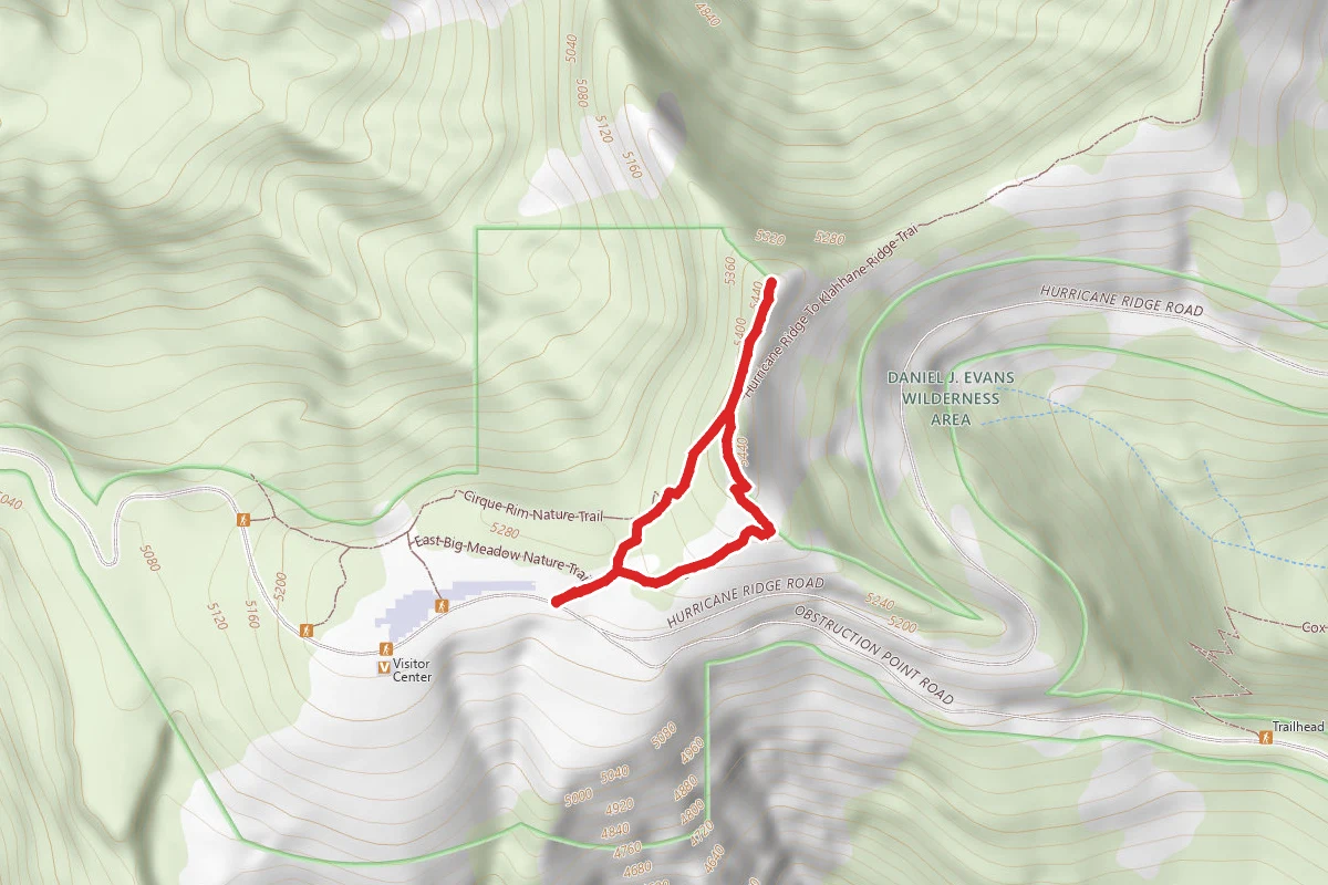
Sunrise View Point via High Ridge Nature Trail
0.1 mi away
Hurricane Ridge Trails
0.2 mi away
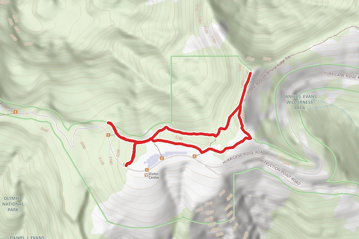
Cirque Rim Nature Trail
0.3 mi away
In this park
Other trails in Olympic National Park
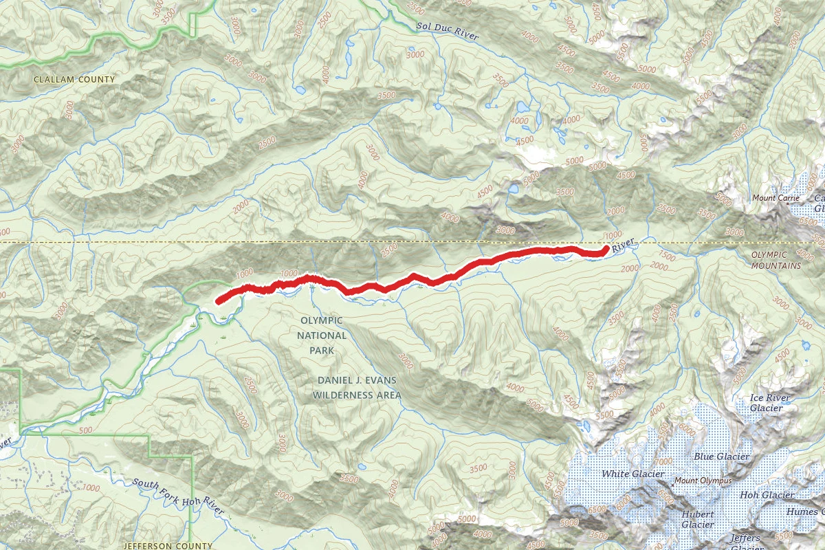
Hoh River Trail to Blue Glacier
Washington
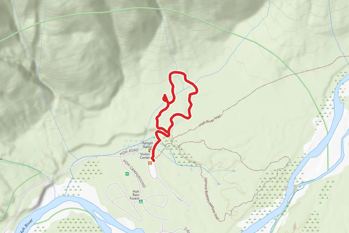
HALL OF MOSSES NATURE TRAIL
Washington
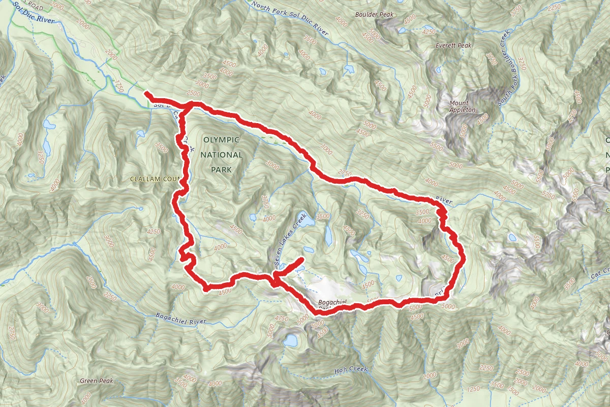
High Divide - Seven Lakes Basin Loop
Washington
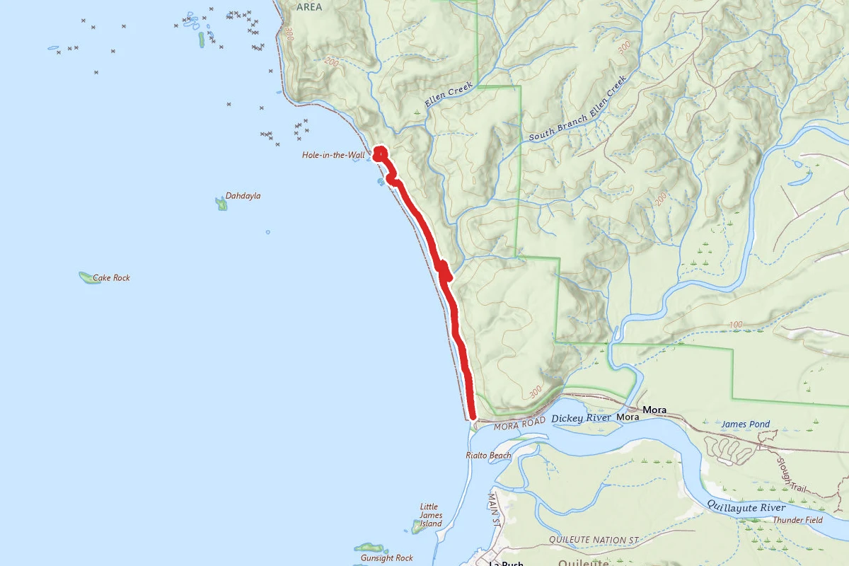
Hole-in-the-Wall Trail
Washington
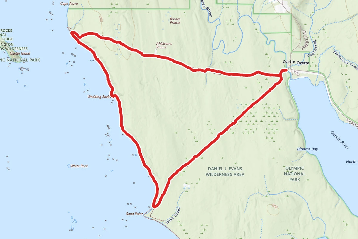
Ozette Triangle Trail
Washington
Mount Storm King
Washington
Stay nearby
Campgrounds near this trail


Lake Angeles
3.9 mi awayOlympic National Park
Port Angeles, WA
Dispersed Reservable
Olympic National Park Altair Campground
5.3 mi awayOlympic National Park
Port Angeles, WA
National Park
Heart O' the Hills Campground
5.5 mi awayOlympic National Park
Port Angeles, WA
Reservable

Little River Adventure
7 mi awayPort Angeles, WA
Pricing varies — check with the operatorReservable
Similar length
Similar trails in Washington
Mount Saint Helens Summit via Ptarmigan Trail
Washington
Hoh River Trail to Blue Glacier
Washington
Mount Si Trail
Washington
Colchuck Lake via Stuart Lake Trail
Washington
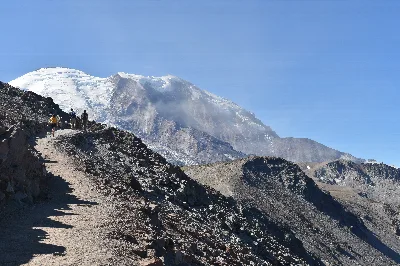
Burroughs Mountain Loop Trail
Washington
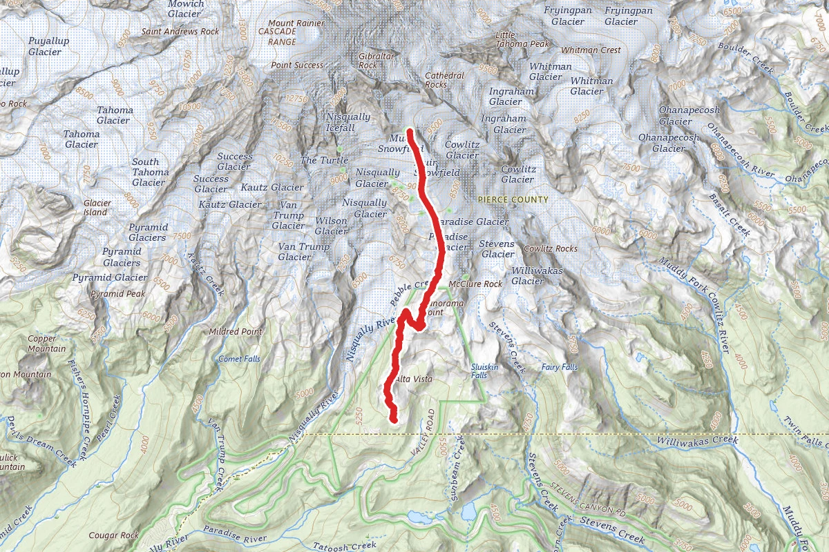
Camp Muir Route Via Skyline Trail
Washington