Difficult
North Dome, Tenaya Lake, Half Dome and Happy Isles via Snow Creek and John Muir Trail [CLOSED]
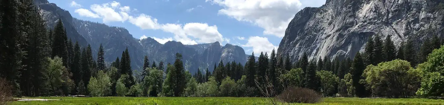
Yosemite Valley, California
57.8 mi
Distance
21,932 ft
Elev. Gain
27h 12m
Est. Time
0.0
0 Reviews
About This Trail
The trail has been temporarily closed due to COVID-19. The park's website has up to date information.
Trail Details
Point to Point
Route Type
Dirt
Surface
No Dogs
Dog Policy
Yes
Kid Friendly
No
Permit Required
Elevation Profile
Min:1,215 ft
Max:2,820 ft
6,685 ft
6,680 ft
Reviews
No reviews yet
Be the first to share your experience and help others plan their visit.
Trail Conditions
Trail Conditions
Unknown
Updated Unknown
No recent condition reports. Be the first to share what you see on the trail.
Nearby Trails
More trails near North Dome, Tenaya Lake, Half Dome and Happy Isles via Snow Creek and John Muir Trail [CLOSED]![North Dome, Tenaya Lake, Half Dome and Happy Isles via Snow Creek and John Muir Trail [CLOSED]](https://www.nps.gov/common/uploads/structured_data/3C873CC3-1DD8-B71B-0B076FC2806DF140.jpg?width=800&quality=80)
North Dome, Tenaya Lake, Half Dome and Happy Isles via Snow Creek and John Muir Trail [CLOSED]
31.1 km5.0
Difficult
Lower Yosemite Falls Trail [CLOSED]
1.6 km
Easy
Lower Yosemite Falls Trail [CLOSED]
1.6 km5.0
Easy
Yosemite Valley to Tuolumne Meadows Trail [CLOSED]
34.8 km
Moderate
Valley Floor Loop Trail [CLOSED]
32.3 km
Easy
Sentinel Meadow Cook's Meadow Loop Trail [CLOSED]
3.5 km
Easy
In this park
Other trails in Yosemite National Park

Half Dome
California
3.2 km1,463 mgain
Expert

Mirror Lake Loop
California
6.2 km30 mgain
Easy
Yosemite Falls Trail
California
4.8 km823 mgain
Difficult

Four Mile Trail
California
7.7 km975 mgain
Difficult
Upper Yosemite Falls Trail
California
11.6 km1,575 mgain
Difficult
Four Mile Trail
California
14.8 km2,058 mgain
Difficult
Stay nearby
Campgrounds near this trail
Similar length
Similar trails in California
Happy Isles, Vernall Falls, Half Dome, Tenaya Lake, and Mirror Lakes Loop [CLOSED]
California
48.6 km3,379 mgain
Difficult
Rae Lakes Trail
California
66.6 km2,949 mgain
Difficult
Trans-Catalina Trail
California
60.2 km3,306 mgain
Difficult
San Gabriel River Bike Path- San Gabriel Canyon to Seal Beach
California
60.0 km538 mgain
Easy
California Riding and Hiking Trail
California
60.5 km1,250 mgain
Difficult
Cactus Spring Trail
California
49.6 km2,343 mgain
Moderate