Easy
1 mi
Distance
259 ft
Elev. Gain
22m
Est. Time
0.0
0 Reviews
About This Trail
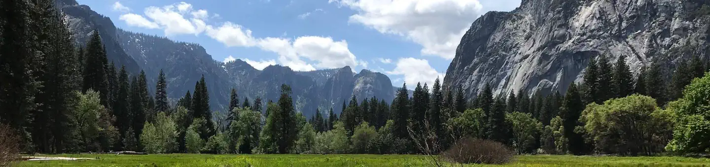
A short stroll to the tallest waterfall in Northern America and fifth in the world will show you how amazing it is. This trail is easy in the summer but hard in the winter. It takes 30 minutes to complete a 1 mile loop. The loop is accessible in one way or another. The Lower Yosemite Fall Trailhead is where the start of the trail is located. This walk provides great views of the Lower and Upper two of the famous waterfalls. The waterfall is best seen in the spring when the winter snow is melting and the upper lakes are full.
Trail Details
Loop
Route Type
Dirt
Surface
No Dogs
Dog Policy
Yes
Kid Friendly
No
Permit Required
Elevation Profile
Min:1,213 ft
Max:1,249 ft
79 ft
79 ft
Reviews
No reviews yet
Be the first to share your experience and help others plan their visit.
Trail Conditions
Trail Conditions
Unknown
Updated Unknown
No recent condition reports. Be the first to share what you see on the trail.
Nearby Trails
More trails near Lower Yosemite Falls Trail [CLOSED]![Lower Yosemite Falls Trail [CLOSED]](https://www.nps.gov/common/uploads/structured_data/3C873CC3-1DD8-B71B-0B076FC2806DF140.jpg?width=800&quality=80)
Lower Yosemite Falls Trail [CLOSED]
1.6 km5.0
Easy
Valley Floor Loop Trail [CLOSED]
32.3 km
Easy
Sentinel Meadow Cook's Meadow Loop Trail [CLOSED]
3.5 km
Easy
North Dome, Tenaya Lake, Half Dome and Happy Isles via Snow Creek and John Muir Trail [CLOSED]
93.0 km
Difficult
North Dome, Tenaya Lake, Half Dome and Happy Isles via Snow Creek and John Muir Trail [CLOSED]
31.1 km5.0
Difficult
Yosemite Valley to Tuolumne Meadows Trail [CLOSED]
34.8 km
Moderate
In this park
Other trails in Yosemite National Park

Half Dome
California
3.2 km1,463 mgain
Expert

Mirror Lake Loop
California
6.2 km30 mgain
Easy
Yosemite Falls Trail
California
4.8 km823 mgain
Difficult

Four Mile Trail
California
7.7 km975 mgain
Difficult
Upper Yosemite Falls Trail
California
11.6 km1,575 mgain
Difficult
Four Mile Trail
California
14.8 km2,058 mgain
Difficult
Stay nearby
Campgrounds near this trail
Similar length
Similar trails in California

Ryan Mountain Trail
California
2.3 km320 mgain
Moderate
.jpg/1280px-Sunset_from_the_Skull_Rock_Trail;_Jumbo_Rocks_(21113045388).jpg)
Skull Rock Nature Trail
California
2.1 km30 mgain
Easy
Hidden Falls Trail
California
1.1 km245 mgain
Easy
Castle Rock Trail
California
1.9 km125 mgain
Moderate
Yucca Point Trail [CLOSED]
California
1.9 km85 mgain
Easy
Hidden Valley Nature Trail
California
1.6 km47 mgain
Easy