
MOWE Pasture Interpretive Trail
1.0 mi
Distance
26 ft
Elev. Gain
Loop
Route Type
Easy
Difficulty
About This Trail
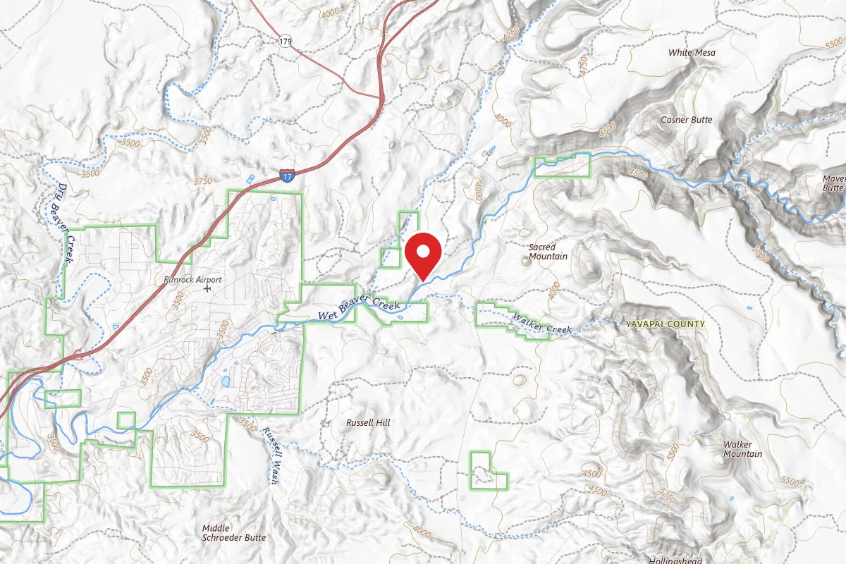
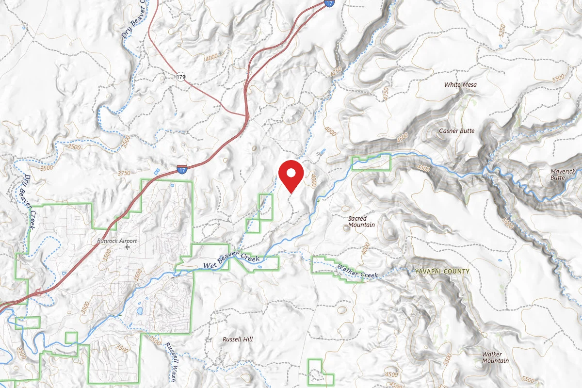
MOWE Pasture Interpretive Trail is a loop trail in Montezuma Castle National Monument, managed by the National Park Service, in Yavapai County, Arizona. It is 1 mile long and gains 26 feet. It is in or next to Lake Montezuma, Arizona.
From the trail data on this page. For conditions and closures, see official sources.
Trail Conditions
Trail Conditions
We have no current condition data for this trail. Check with the operator before you go, and submit a report below if you've been recently.
No recent condition reports. Be the first to share what you see on the trail.
Trail Details
- Route Type
- Loop
Official sources & verification
Managed by National Park Service
Source of truth
- National Park Service unit page
Alerts, conditions, and the unit's plan-your-visit page.
Where it is
- Nearest town:
- Lake Montezuma, AZ · in or next to town
- County:
- Yavapai County, AZ
- Jurisdiction:
- Montezuma Castle National Monument · National Park Service
Nearest town and county from U.S. Census Bureau place records and county boundaries.
Reviews
No reviews yet
Be the first to share your experience and help others plan their visit.
Verified from NPS Public Trails
Nearby Trails
More trails near MOWE Pasture Interpretive Trail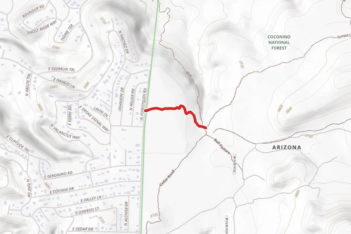
Mallard
0.9 mi away
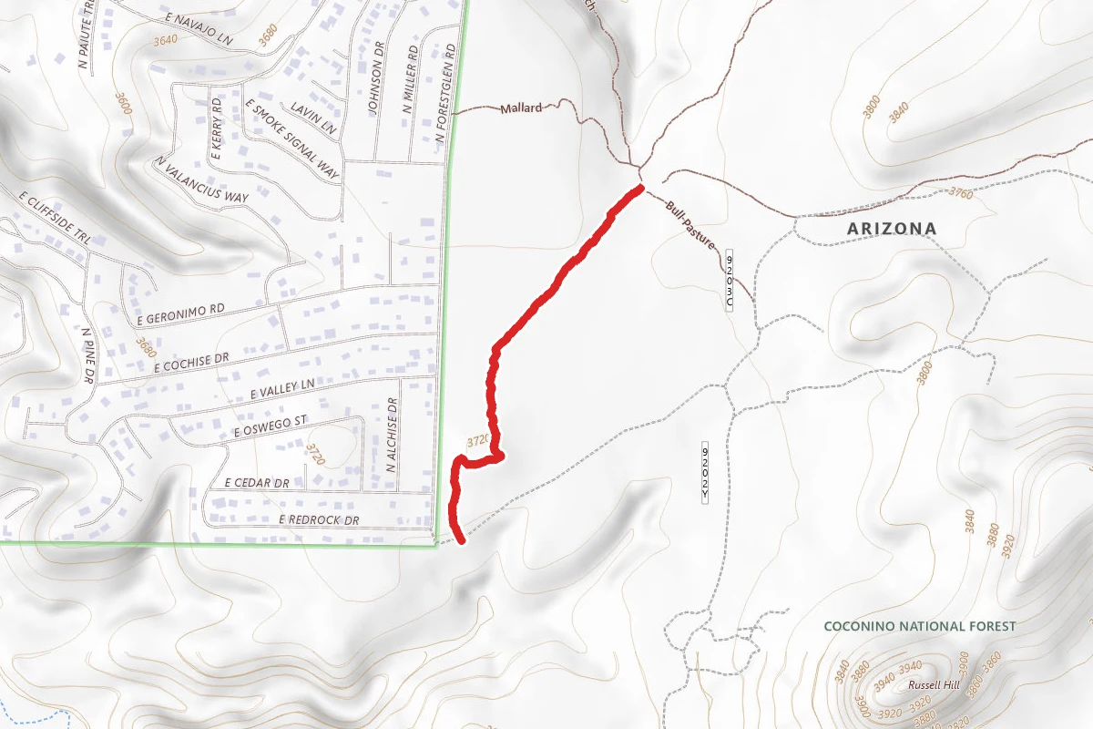
Cedar Knoll
1.4 mi away
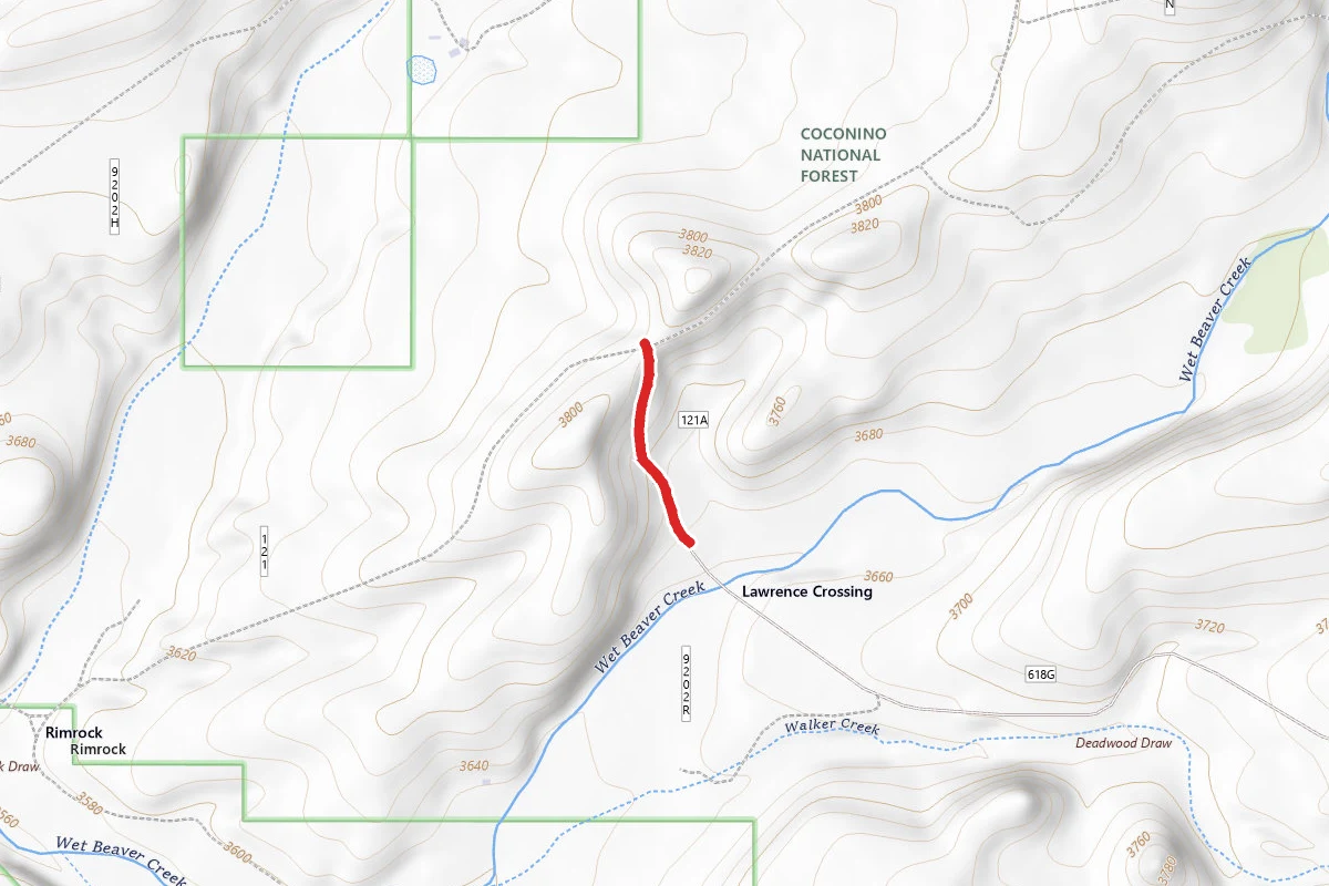
Lawrence Crossing
1.7 mi away
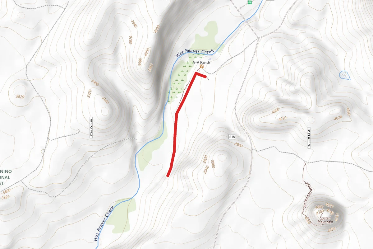
V Bar V Heritage Site Trail
2.9 mi away
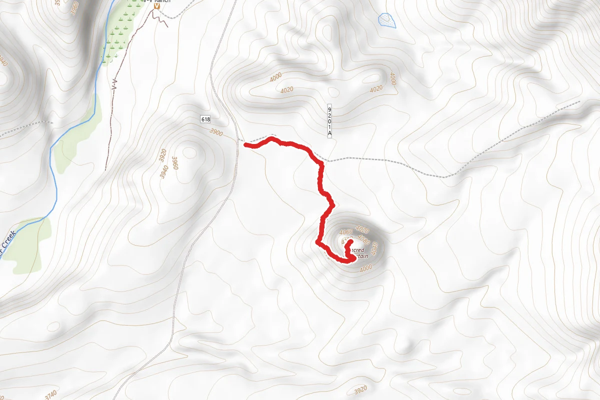
Sacred Mountain
3.1 mi away
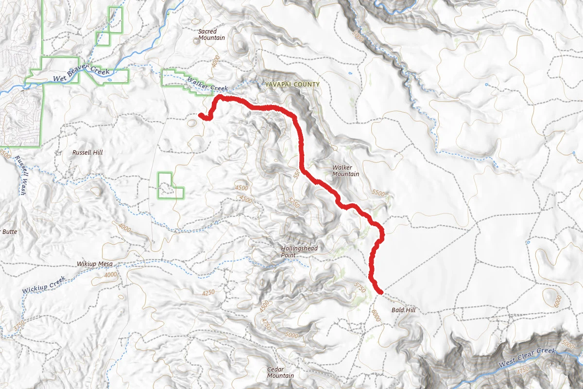
Walker Basin
3.3 mi away
In this park
Other trails in Montezuma Castle National Monument
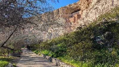
Stay nearby
Campgrounds near this trail
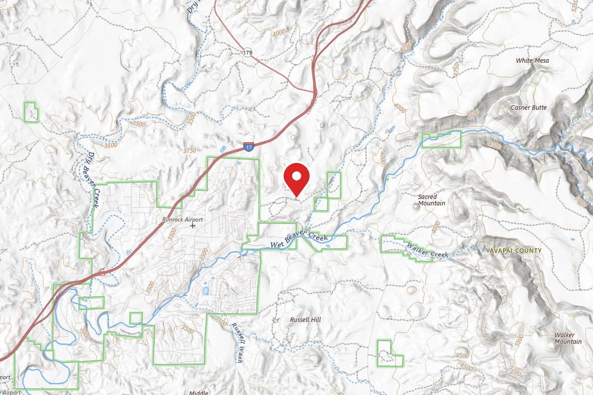

Similar length
Similar trails in Arizona
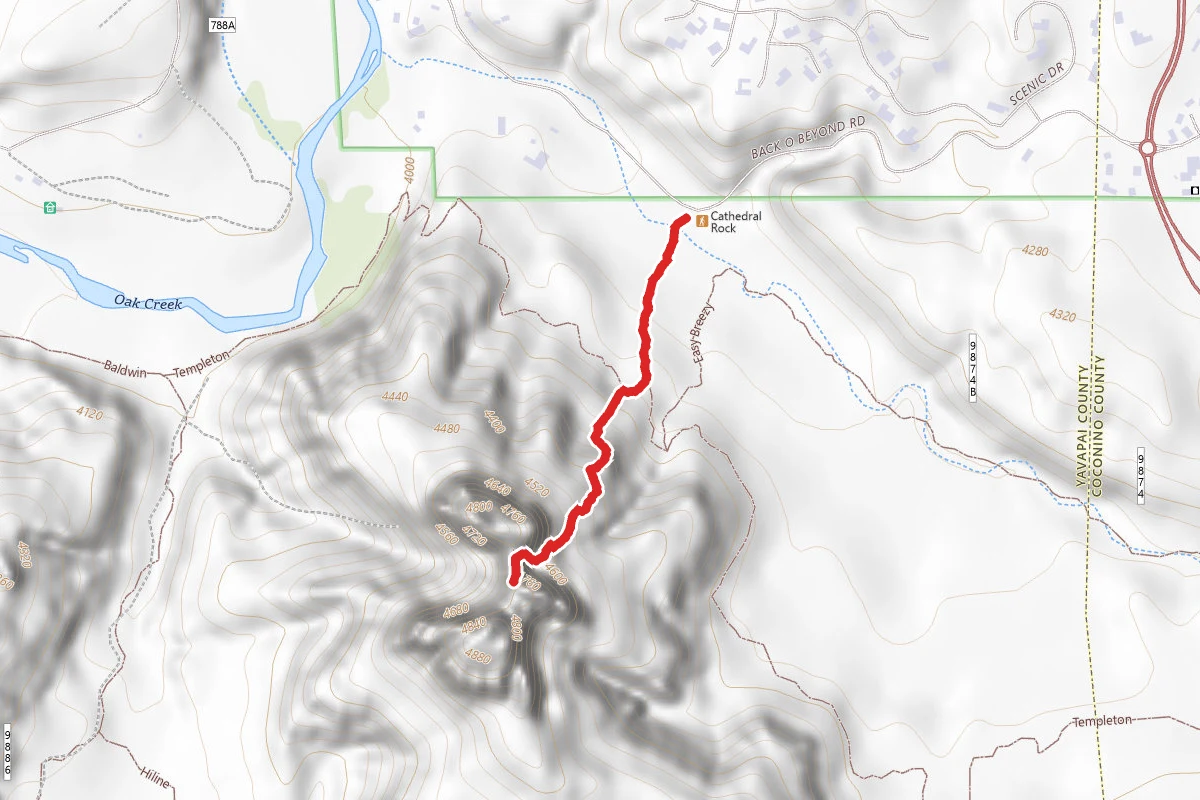
Cathedral Rock Trail
Arizona
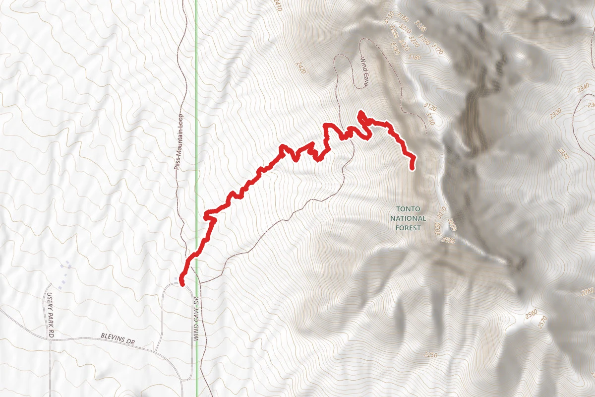
Wind Cave Trail
Arizona
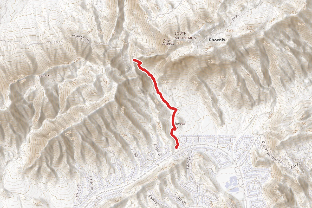
Telegraph Pass Trail
Arizona
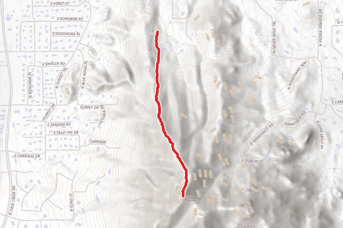
Black Mountain Trail
Arizona
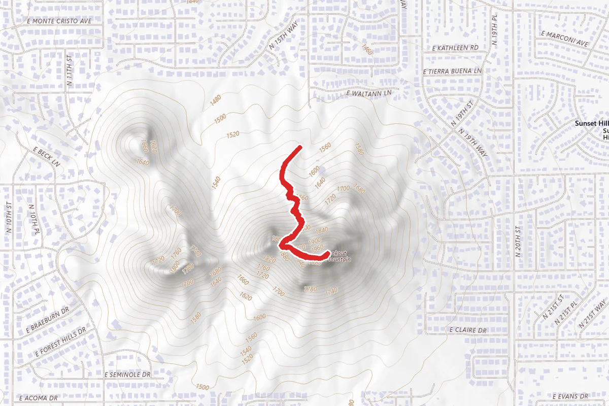
Lookout Mountain Summit Trail
Arizona
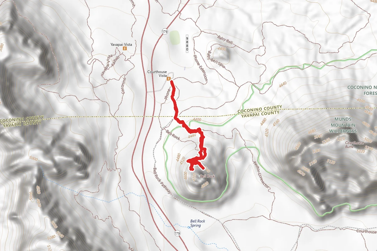
Bell Rock
Arizona