Status unknown — verify before visiting

We don't have current condition data for this trail. Check with the land manager before you go.

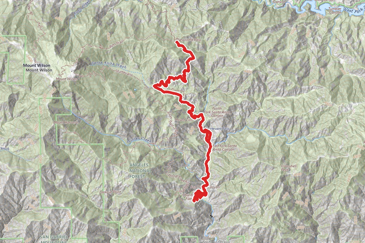
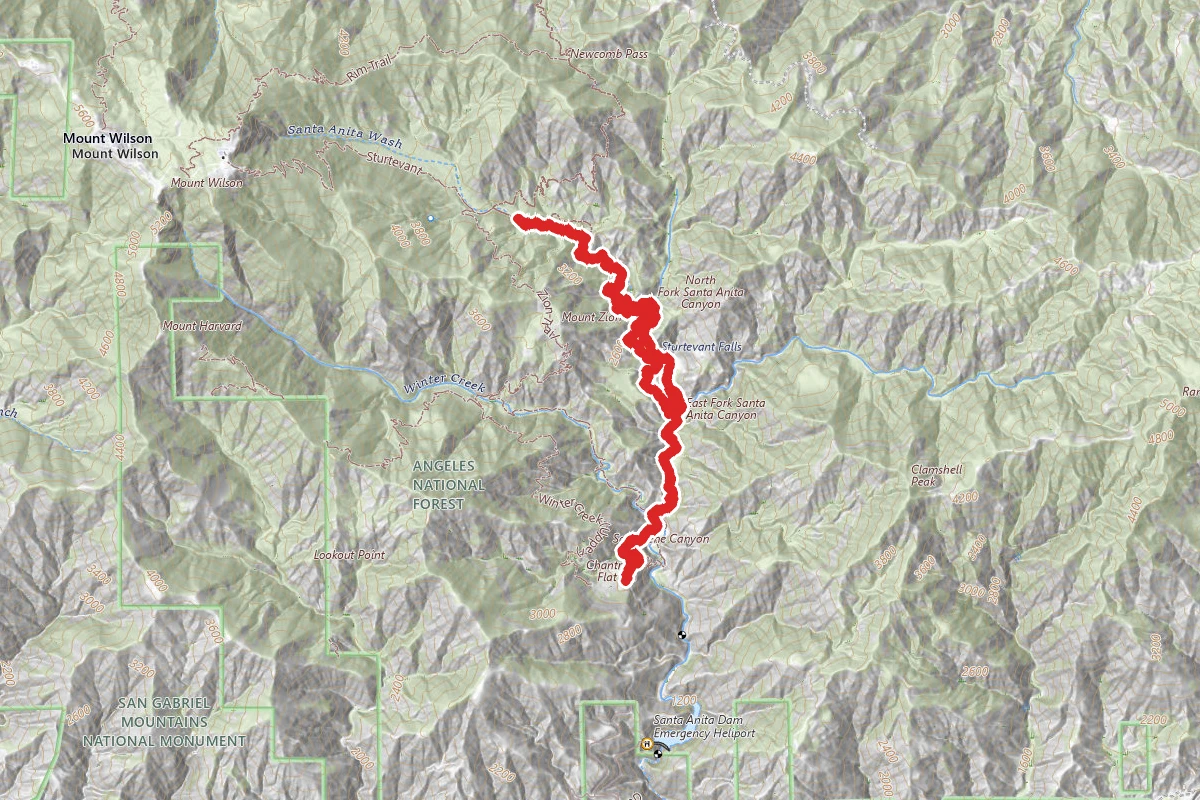
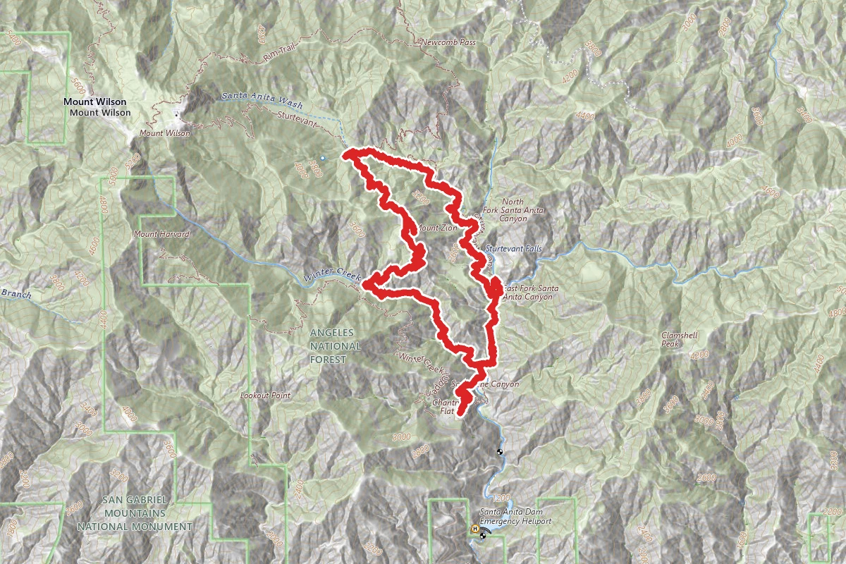
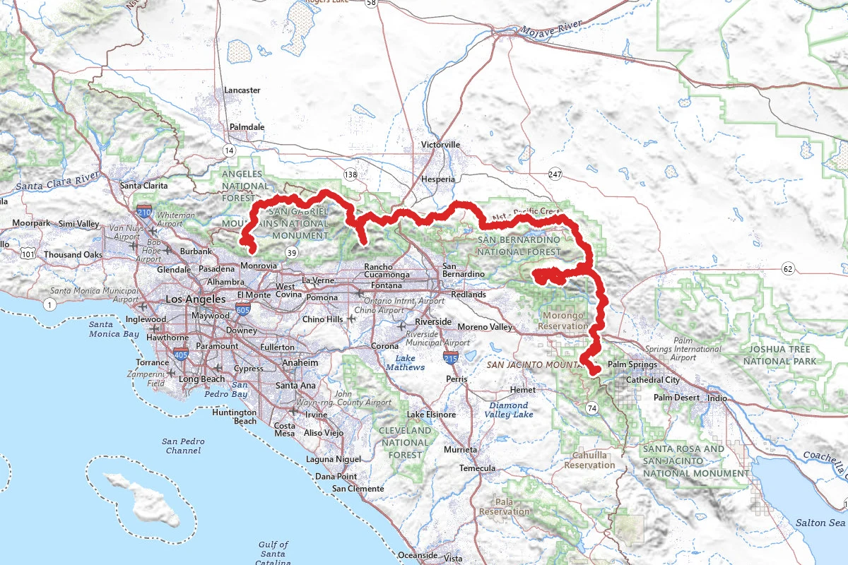
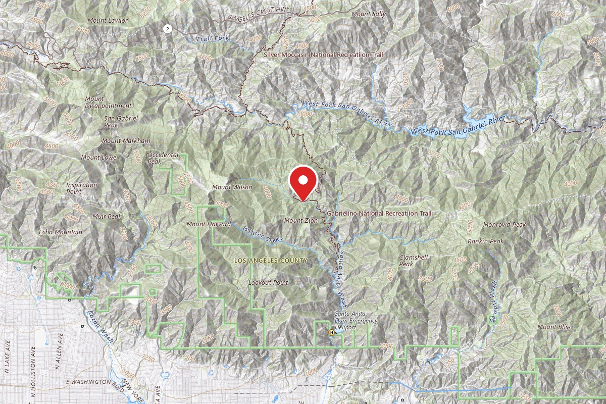
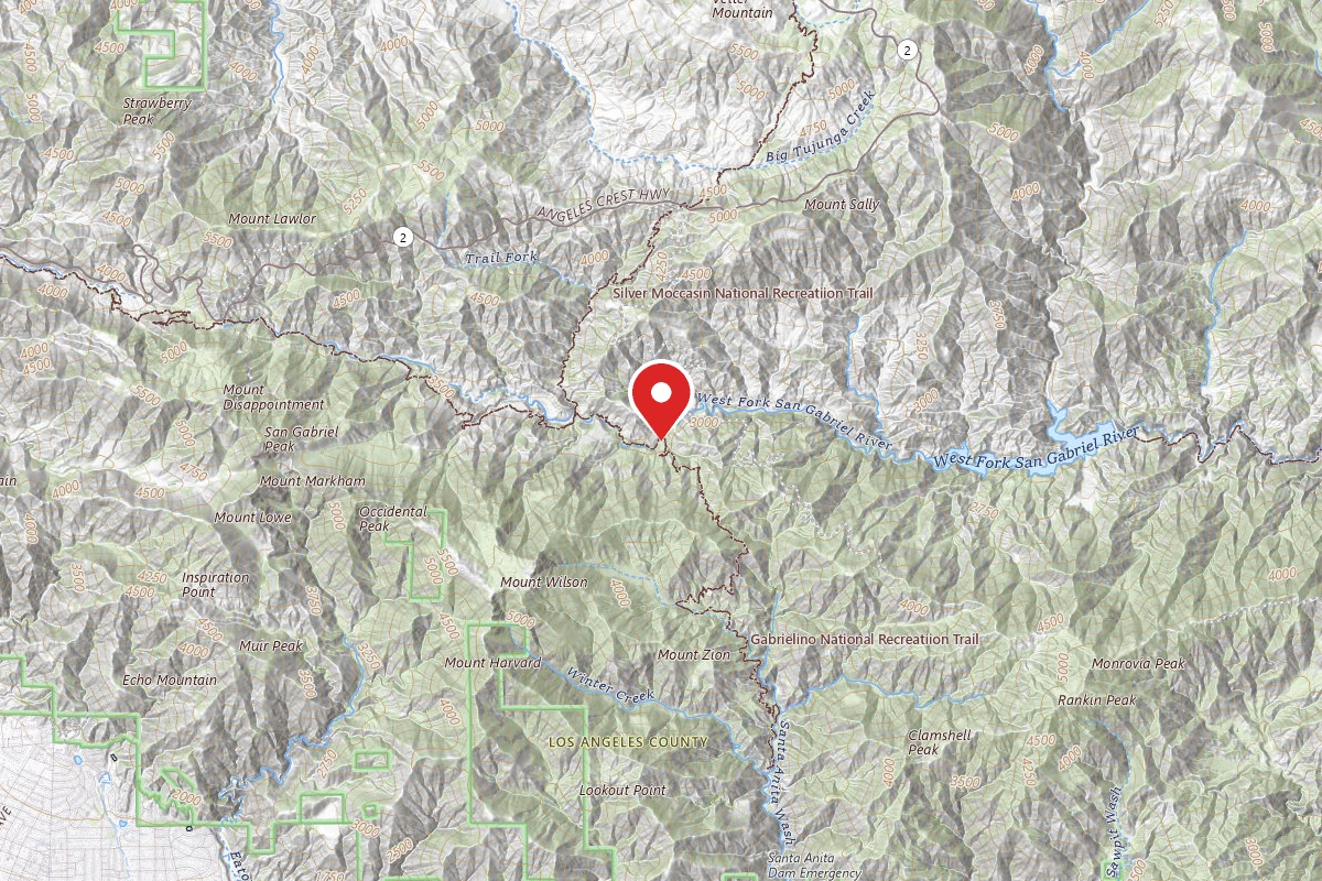
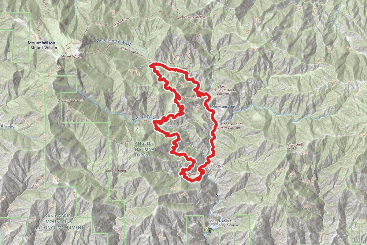
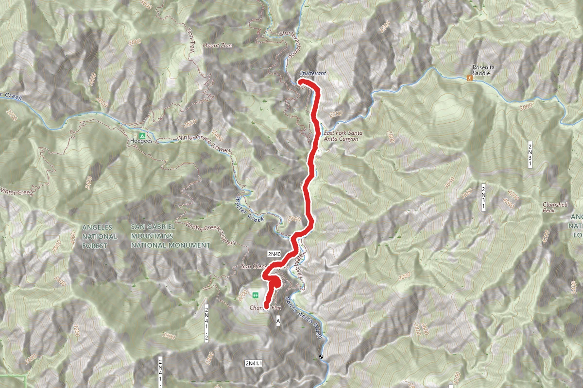
Mount Zion Loop - Sturtevant to Winter Creek Trails route map
ExpertLoop

Mount Zion Loop - Sturtevant to Winter Creek Trails

Sierra Madre, California

9.3 mi

Distance

5,115 ft

Elev. Gain

4h 16m

Est. Time

Loop

Route Type

Expert

Difficulty

About This Trail

Imported description
A beautiful multi-landscape trail with many waterfalls and trees. Offers a challenging and well-maintained trail. Big Santa Anita Canyon offers something for everybody. If you are traveling with young children, the short hike from Chantry Flat to Sturtevant Falls is rewarding and great for an easy morning or afternoon hike. However, if you're interested in something more substantial, you can follow the Big Santa Anita Loop trail. The scenery along the trails in this area is really beautiful, especially along the river. There are many waterfalls, albeit most of them manmade, but are sure to soothe your soul. Plentiful greenery in the form of trees, shrubs and various indigenous plant life make this trail special in its own right. Add to that incredible vistas of both the canyon and the mountains surrounding Mt. Wilson. Many times you'll have to remind yourself you are in Los Angeles County! The loop climbs steadily from the area of the 55-foot tall Sturtevant falls. The highest point of the main loop is about 3400 feet. Many hikers choose to bring trekking poles for this trail. A remote campground about 3.5 miles into the loop offers up some picnic tables, pit toilets, and of course, a place to make camp if you choose to stay overnight. There are roughly 6-7 spots and if you plan on having a fire, be sure to bring along your fire permit. Another unique aspect of the Big Santa Anita Canyon loop trail is the variety of terrains you'll cover. Sometimes you'll be deep in the forest and at other times you'll feel like you're in somewhat of a desert. If you are a local, this is a great hike to do over and over again. However, beware that during the summer months, it can get quite hot and the bugs can be very annoying, especially while standing or sitting still. The Adams Pack Station in Chantry Flat offers some supplies and essentials as well as treats such as ice cream, soda, and water. Parking can be very crowded on the weekends in Chantry Flat and you'll likely need to park along the mountain to get a spot in the mornings. Make sure to have an Adventure Pass to park along the road. In this scenic loop trip form Chantry flat, you'll climb by way of the Gabrielino Trail to Sturtevant Camp, and return by way of the Mt. Zion and Upper Winter Creek trails. You start down a paved road (.06 mi) . There is a restroom at the end of the pave road. You edge along side a number of small cabins. At 1.4 miles, amidst a beautiful oak woodland, you come to a 4 way junction of trails. Take the time to see 50-foot-high Sturtevant Falls, a worthy trip. Take the middle (lower) trail -the more scenic and exciting alternative. This trail slices across a sheer wall above the falls and continues through miniature cascades and pools. About 2.8 miles into the hike you will reach Cascade Picnic where ther are restrooms. Another .7 you will reach Spruce Grove trail Camp. This is a nice place to stop for a snack or you can continue to Sturtevant Camp which is .1 miles where you can relax and have a swing. Cross a dam and take the MT. Zion trail to upper Winter trail.

Trail Conditions

Trail Conditions

Unknown

We have no current condition data for this trail. Check with the operator before you go, and submit a report below if you've been recently.

No recent condition reports. Be the first to share what you see on the trail.

Elevation Profile

Min:562 ft
Max:1,098 ft
1,559 ft
1,559 ft
562 ft741 ft919 ft1,098 ft0.0 mi2.3 mi4.6 mi7.0 mi9.3 mi

Trail Details

Route Type
Loop
Surface
Dirt

Official sources & verification

We don't have curated agency sources for this trail in our cache yet. Outdoors is not the permitting authority — confirm conditions, permits, and access with the managing agency before you go. If you know who manages this trail, please tell us.

Reviews

No reviews yet

Be the first to share your experience and help others plan their visit.

Legacy import — verify before navigating

Path geometry came from our pre-launch legacy database. Routes have not yet been re-verified against the operator and may differ from the actual trail.
Hunt context

This trail crosses hunting units

During hunting seasons, wear blaze orange and check regulations — see the California hunting page

Spot an error in our data on Mount Zion Loop - Sturtevant to Winter Creek Trails?