Status unknown — verify before visiting

We don't have current condition data for this trail. Check with the land manager before you go.

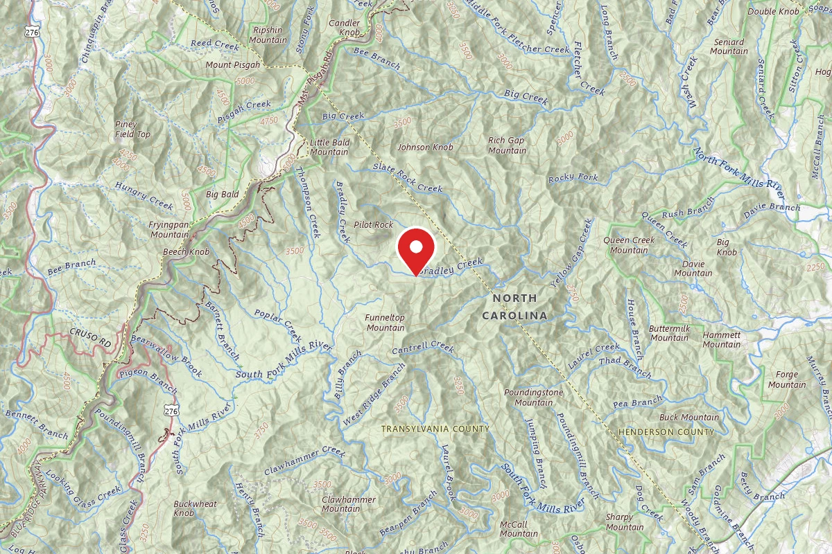
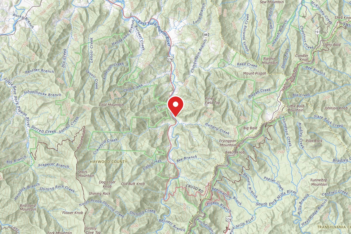
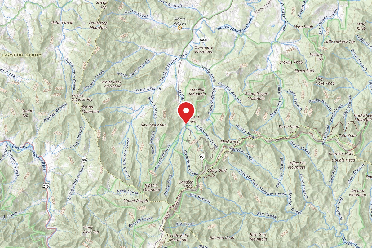
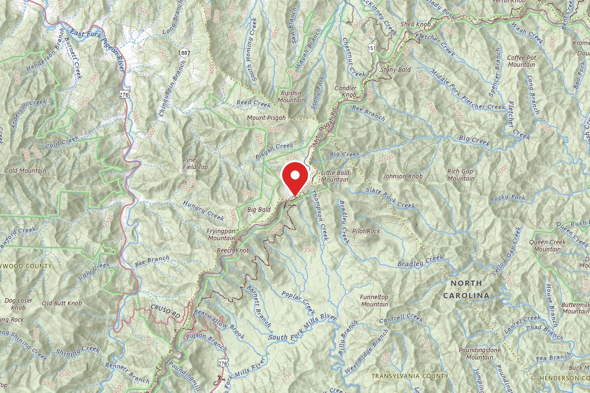
Mount Pisgah Trail route map
ModerateOut and Back

Mount Pisgah Trail

Canton, North Carolina

2h 20m

Est. Time

Out & Back

Route Type

Moderate

Difficulty

About This Trail

Imported description
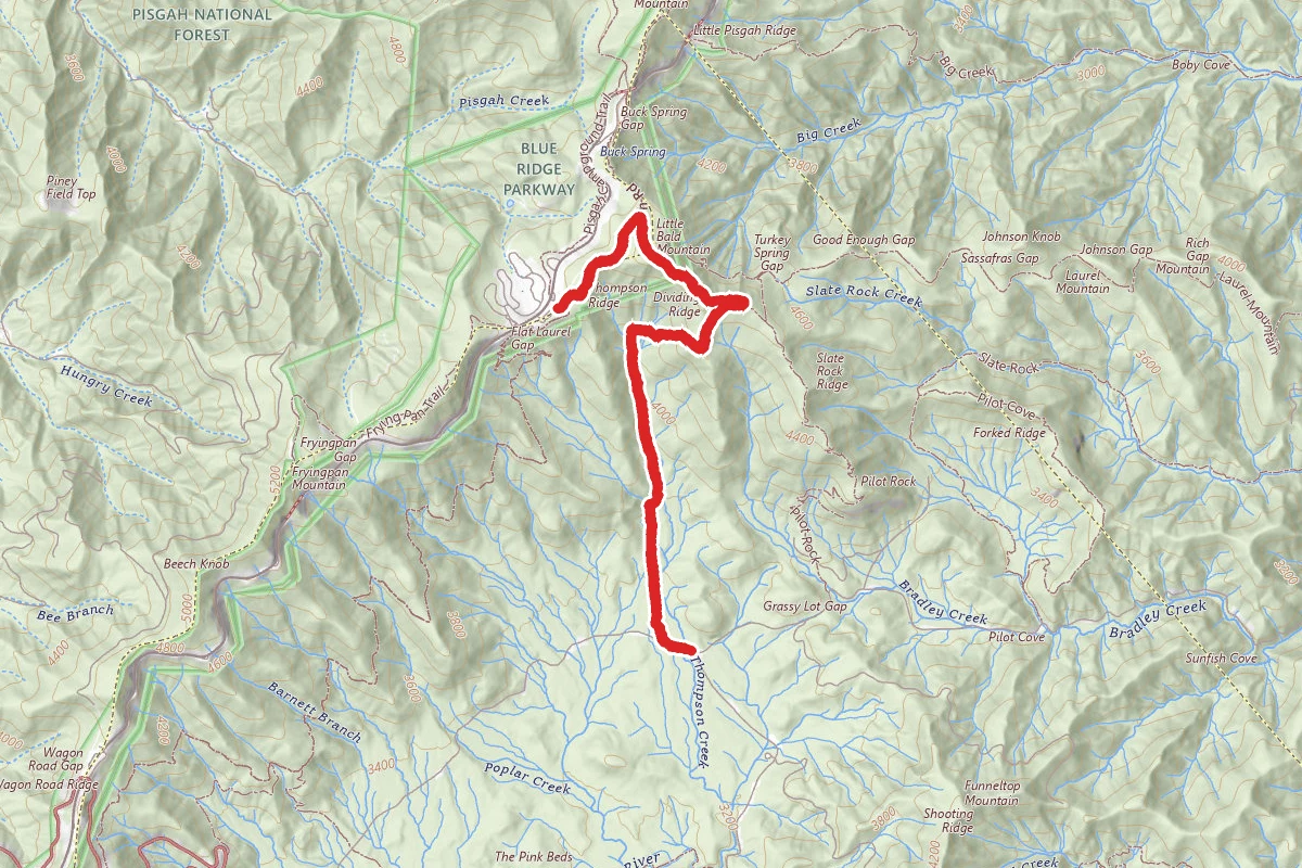
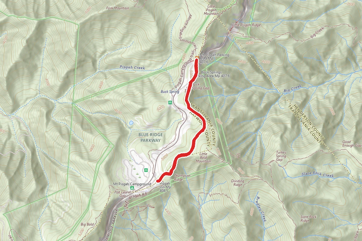
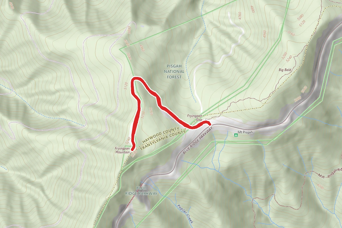
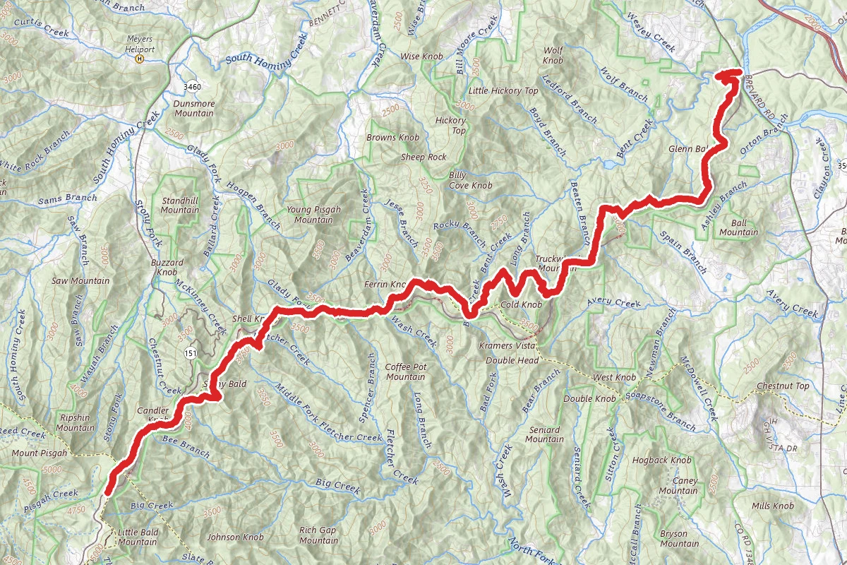
Mount Pisgah area trails include several trails along the Blue Ridge Parkway and the moderate and popular out and back trail to the summit of Mt. Pisgah, featuring some spectacular views. Mount Pisgah area trails include several trails along the Blue Ridge Parkway near and to the summit of Mt. Pisgah - the moderate and popular 3.2 mile RT out and back namesake trail. Easily visible from most of downtown Asheville, Mount Pisgah's 5721' summit supports the transmission tower for WLOS-TV, channel 13. The summit trail is a rocky, steep climb through hardwoods, rhododendron and mountain laurel tunnels, to 360 degree views (which are somewhat subdued because of the TV tower). Starting at the back of the parking area on the south side of the parkway, the initially flat and rocky trail traverses over the Buck Spring tunnel across the BRP through high-elevation hardwood forest. The first half of the hike gains only about 200', while the other half gains 521'. The steep part of the trail is essentially a very rocky staircase through mountain laurel thickets and stands of varying hardwoods. At the summit stands the transmission tower for WLOS-TV, channel 13, and an observation deck. The tower subdues the view, but the view is still spectacular, especially to the south and west. The parking area, the Campground & Pisgah Inn are easily visible to the south; the Shining Rock Wilderness to the west; the Great Smoky Mountains farther to the west; and to the northeast, the city of Asheville, Craggy Mountains, and Mount Mitchell. Connecting trails adding views and mileage include the Buck Spring trail, the 3.6 mi. one-way Pilot Rock Trail, the Little Pisgah Ridge Trail, the 7.4 mile Laurel Mountain Trail, as well as many miles along the Mountains-to-Sea and Shut-in trails. The 16.3 mile Shut-In trail is the original route from George Vanderbilt's Biltmore Estate to the Buck Spring lodge, his mountain getaway.

Trail Conditions

Trail Conditions

Unknown

We have no current condition data for this trail. Check with the operator before you go, and submit a report below if you've been recently.

No recent condition reports. Be the first to share what you see on the trail.

Trail Details

Route Type
Out & Back
Surface
Dirt

Official sources & verification

We don't have curated agency sources for this trail in our cache yet. Outdoors is not the permitting authority — confirm conditions, permits, and access with the managing agency before you go. If you know who manages this trail, please tell us.

Reviews

No reviews yet

Be the first to share your experience and help others plan their visit.

Spot an error in our data on Mount Pisgah Trail?