DifficultLoop
14.4 mi
Distance
4,275 ft
Elev. Gain
6h 50m
Est. Time
0.0
0 Reviews
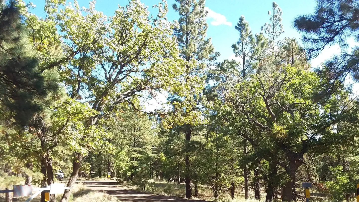
About This Trail
There was a fire at the Museum which closed the western/ northern part of the loop. You have access to the eastern part of the loop. Please check the forest services website, for more information: www.fs.uda.gov. This route starts with them so that they aren't in the way. Go left on Sunset Ridge when you make your way to the junction with Heart Trail. After crossing the street you will be able to hang out on the trail and be in the water before taking a right on the Christmas Tree Trail.
Trail Details
Loop
Route Type
Dirt
Surface
Dogs Allowed (Leash Required)
Dog Policy
Yes
Kid Friendly
No
Permit Required
Elevation Profile
Min:2,097 ft
Max:2,831 ft
1,303 ft
1,303 ft
Reviews
No reviews yet
Be the first to share your experience and help others plan their visit.
Trail Conditions
Trail Conditions
Unknown
Updated Unknown
No recent condition reports. Be the first to share what you see on the trail.
Stay nearby
Campgrounds near this trail
Similar length
Similar trails in Arizona
.jpg/1280px-Grand_Canyon_National_Park_Bright_Angel_Trail_-_Sunset_0162_(6924462211).jpg)
Bright Angel Trail to Indian Garden
Arizona
12.7 km933 mgain
Difficult
,_South_Rim_nahe_Tusayan_--_2012_--_5893.jpg/1280px-Grand_Canyon_(Arizona,_USA),_South_Rim_nahe_Tusayan_--_2012_--_5893.jpg)
Rim Trail (South Rim)
Arizona
25.2 km61 mgain
Easy
Humphrey's Peak
Arizona
16.9 km1,363 mgain
Difficult
Bear Canyon to Seven Falls Trail
Arizona
13.7 km580 mgain
Moderate
Bright Angel Trail to Bright Angel Campground and River Trail
Arizona
28.5 km3,652 mgain
Difficult
Mesquite Canyon Trail
Arizona
12.9 km702 mgain
Moderate