Status unknown — verify before visiting
We don't have current condition data for this trail. Check with the land manager before you go.
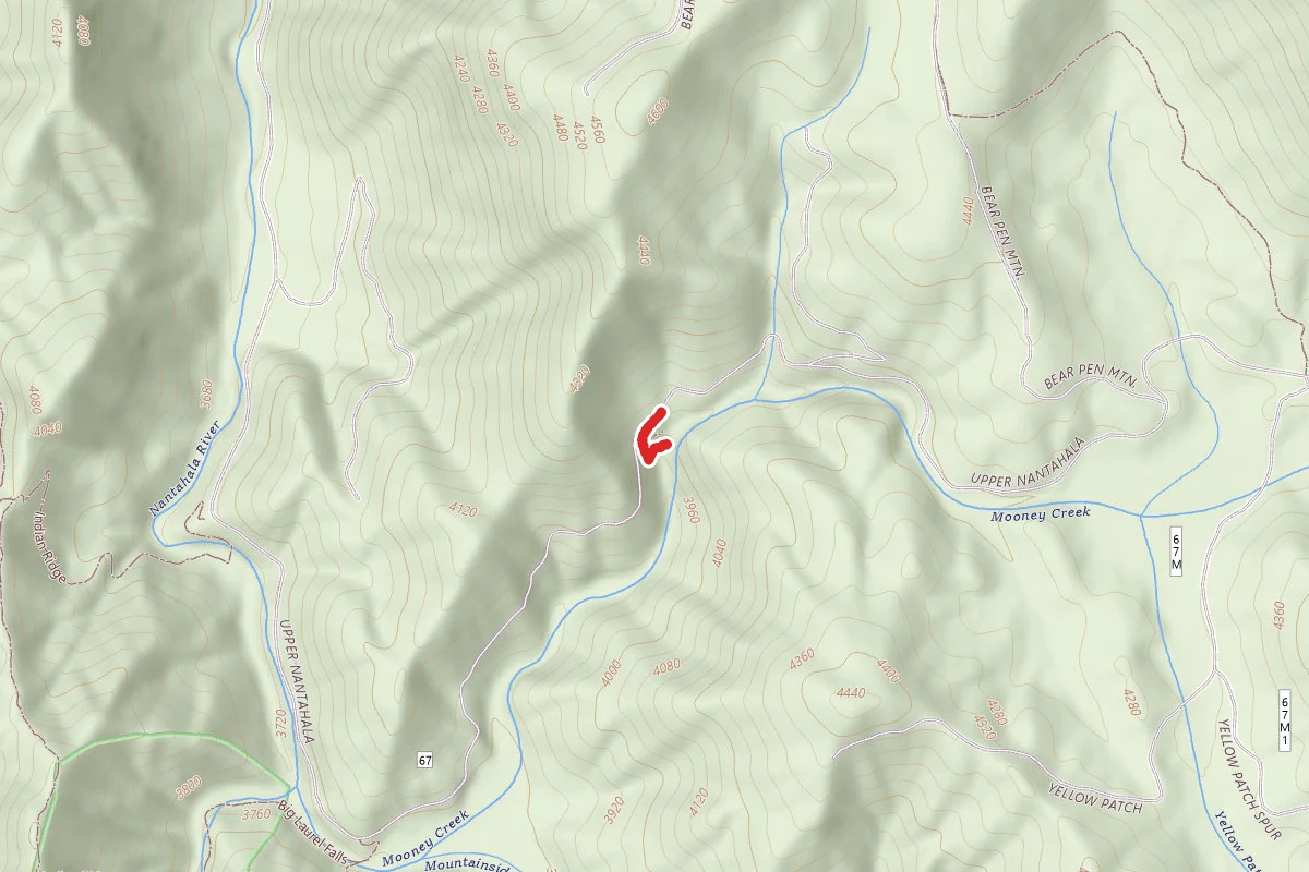
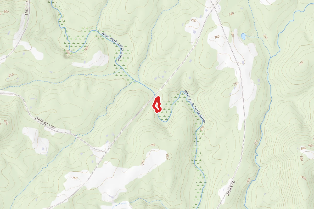
0.2 mi
Distance
62 ft
Elev. Gain
5m
Est. Time
Out & Back
Route Type
Moderate
Difficulty
About This Trail
Imported descriptionTrail Conditions
Trail Conditions
We have no current condition data for this trail. Check with the operator before you go, and submit a report below if you've been recently.
No recent condition reports. Be the first to share what you see on the trail.
Elevation Profile
Trail Details
- Route Type
- Out & Back
- Surface
- Dirt
Official sources & verification
We don't have curated agency sources for this trail in our cache yet. Outdoors is not the permitting authority — confirm conditions, permits, and access with the managing agency before you go. If you know who manages this trail, please tell us.
Reviews
No reviews yet
Be the first to share your experience and help others plan their visit.
Legacy import — verify before navigating
Path geometry came from our pre-launch legacy database. Routes have not yet been re-verified against the operator and may differ from the actual trail.
Nearby Trails
More trails near Mooney Falls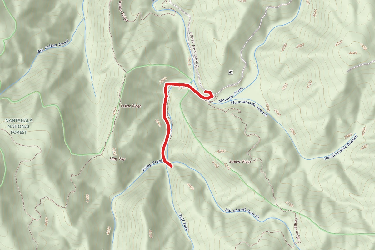
Big Laurel Falls
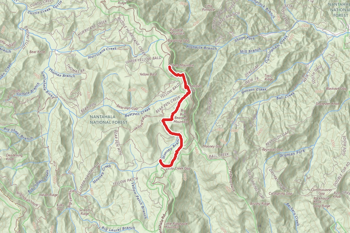
Betty Creek Trail to Albert Mountain via Appalachian Trail
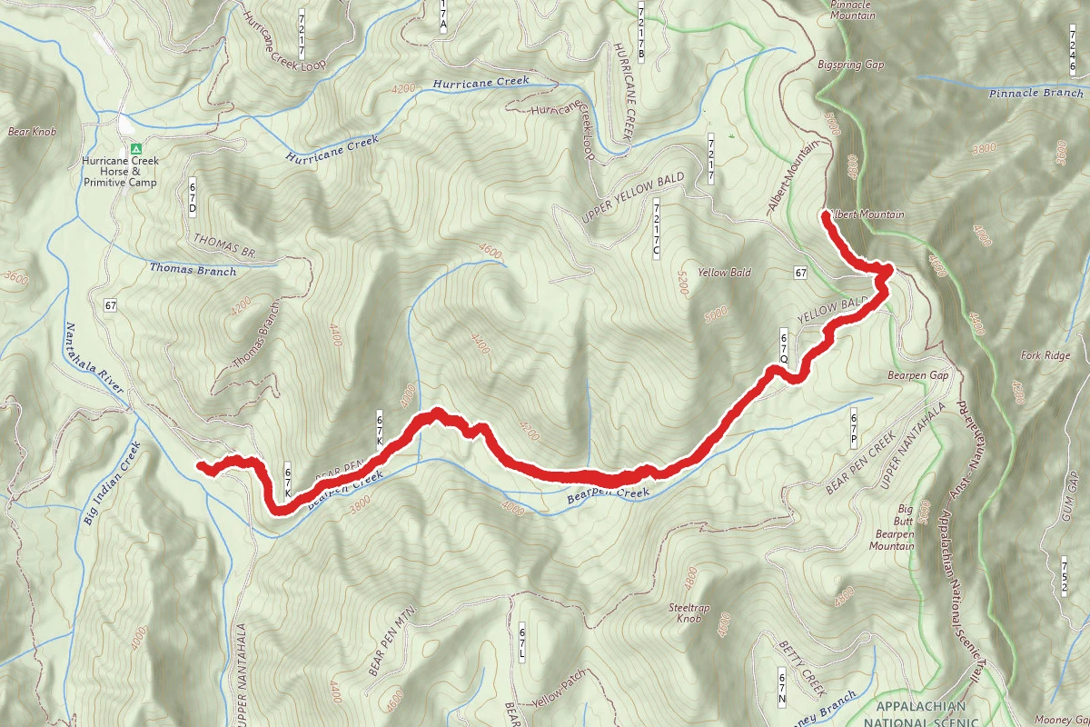
Albert Mountain Summit via Bear Pen Trail
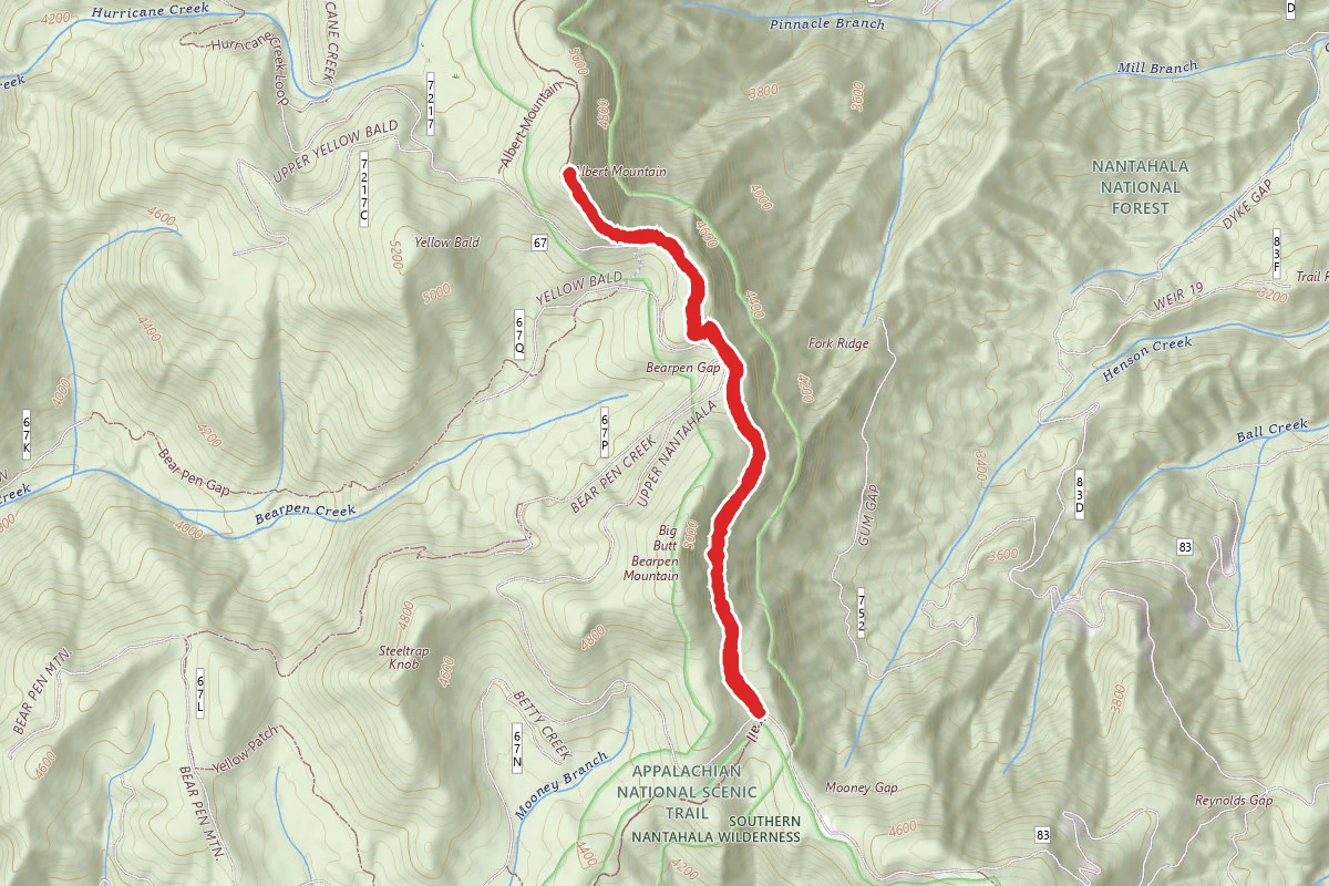
Mooney Gap to Albert Mountain Firetower
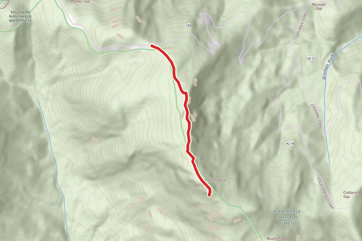
Picken's Nose Trail
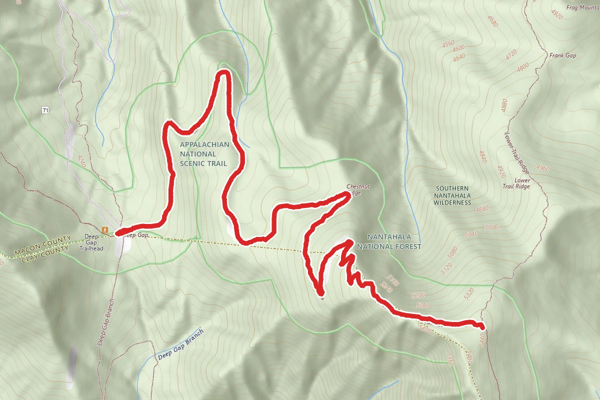
Standing Indian Mountain via Deep Gap
Stay nearby
Campgrounds near this trail
Mooney to Bearpen Gap Backcountry Campground
1.8 mi away · NC
Bearpen Gap Backcountry Site
1.9 mi away · NC
Hurricane Creek Horse and Primitive Campground
2 mi away · NC
Picken's Nose Primitive Campground
2.2 mi away · NC
Tate City Road Dispersed
3.5 mi away · NC
Kimsey Creek Group Campground
3.5 mi away · NC
Similar length
Similar trails in North Carolina
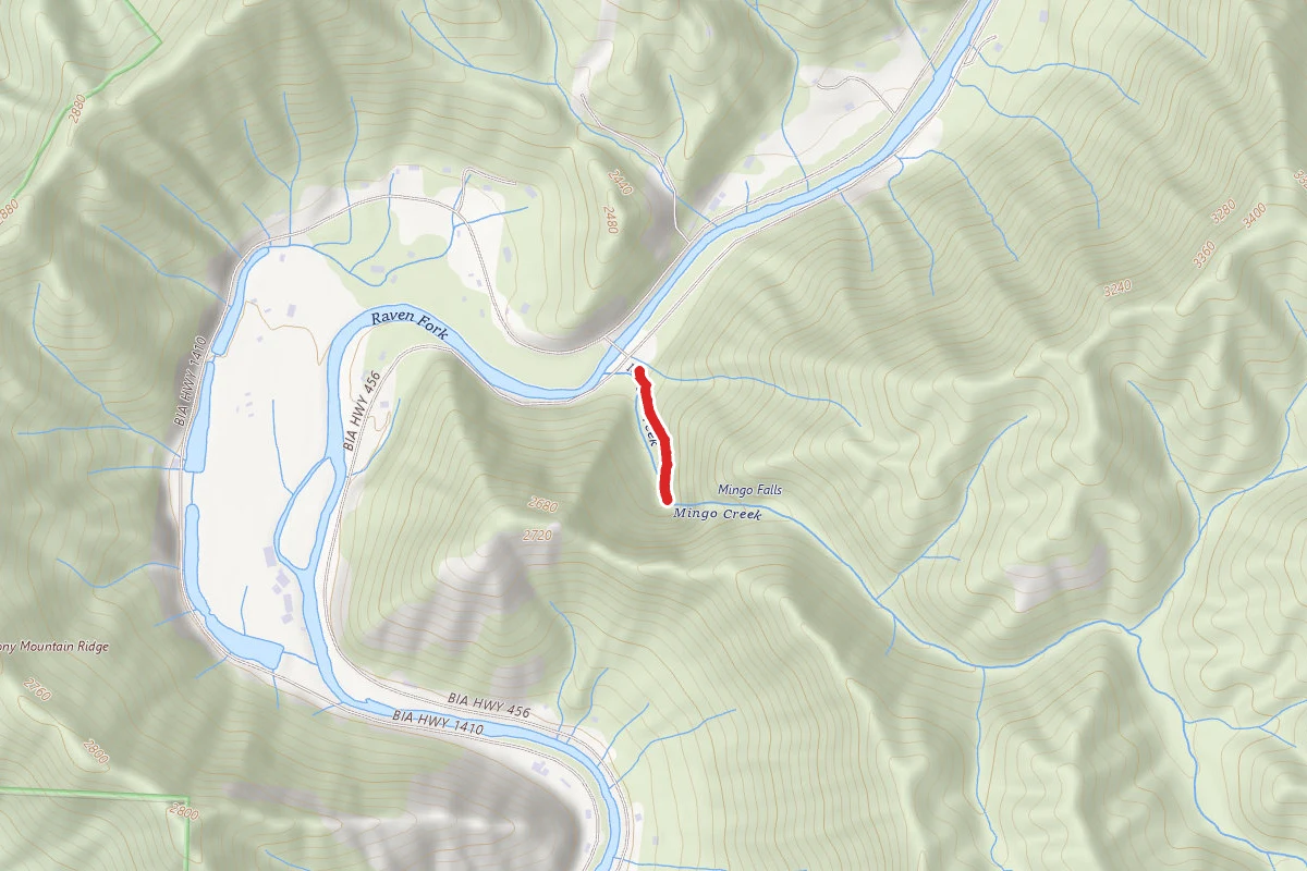
Mingo Falls Trail
North Carolina
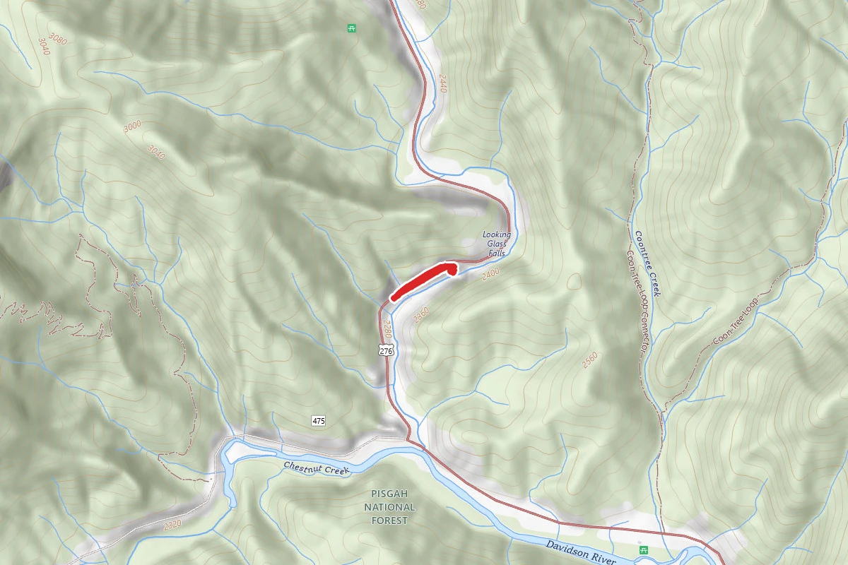
Looking Glass Waterfalls
North Carolina
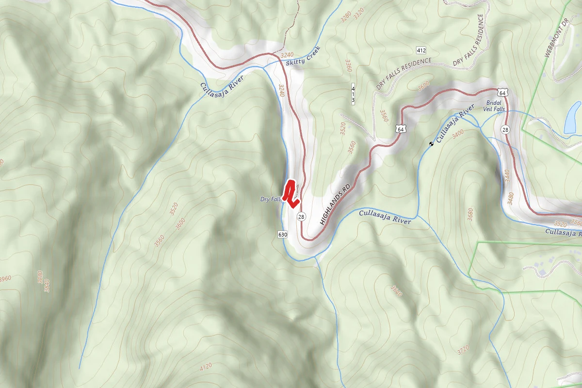
Dry Falls Trail
North Carolina
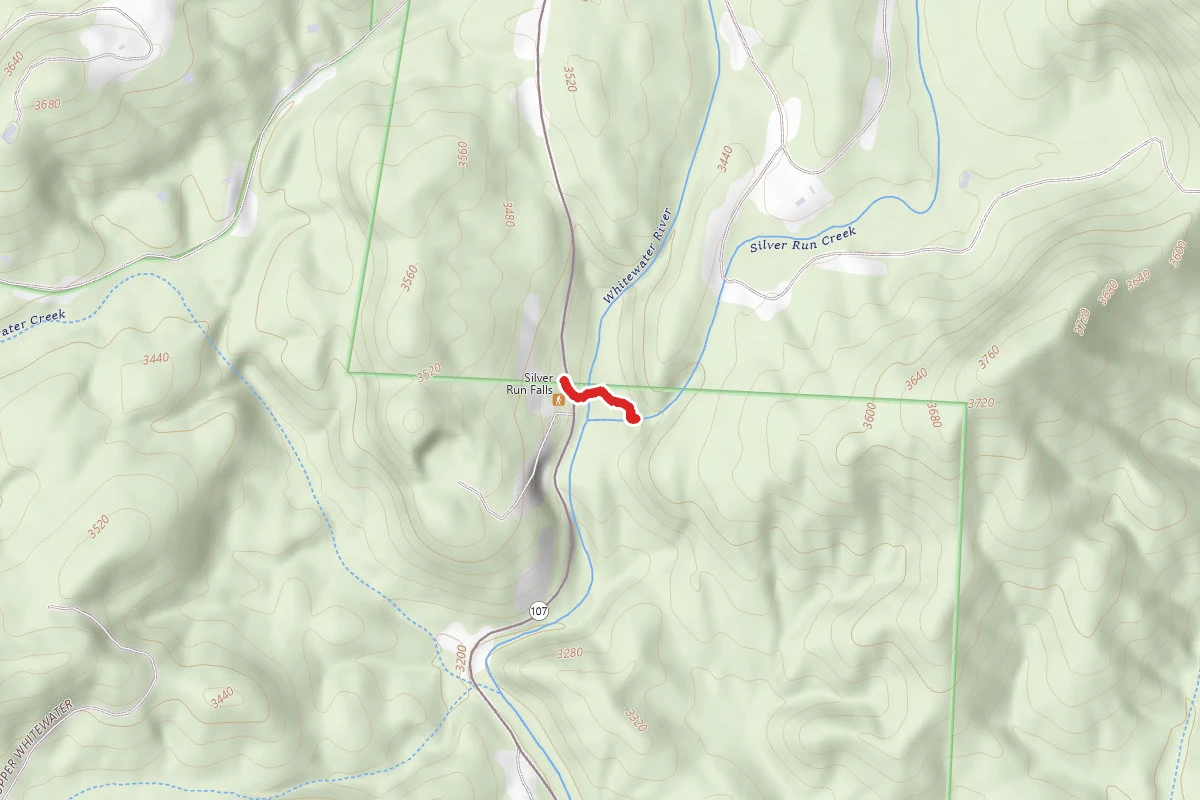
Silver Run Falls
North Carolina
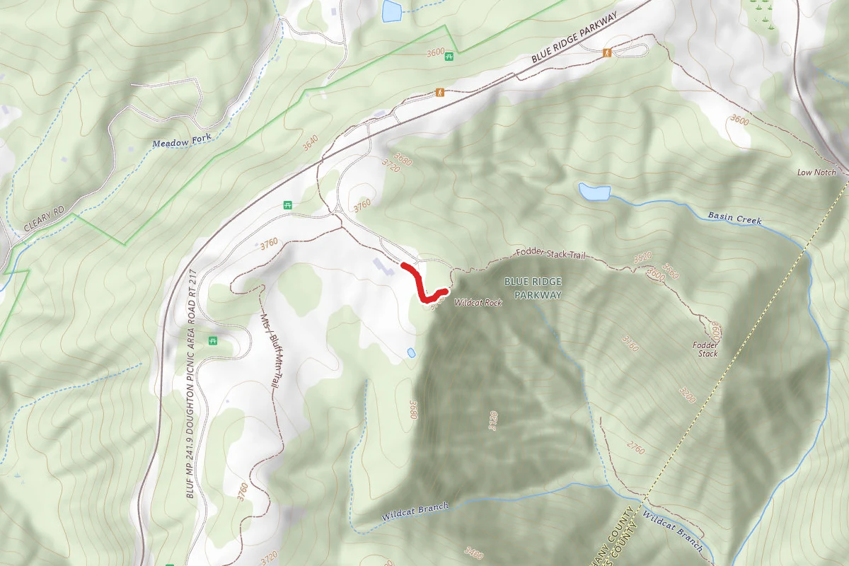
Wildcat Rocks Overlook
North Carolina
Pisgah Covered Bridge Loop
North Carolina