Status unknown — verify before visiting

We don't have current condition data for this trail. Check with the land manager before you go.

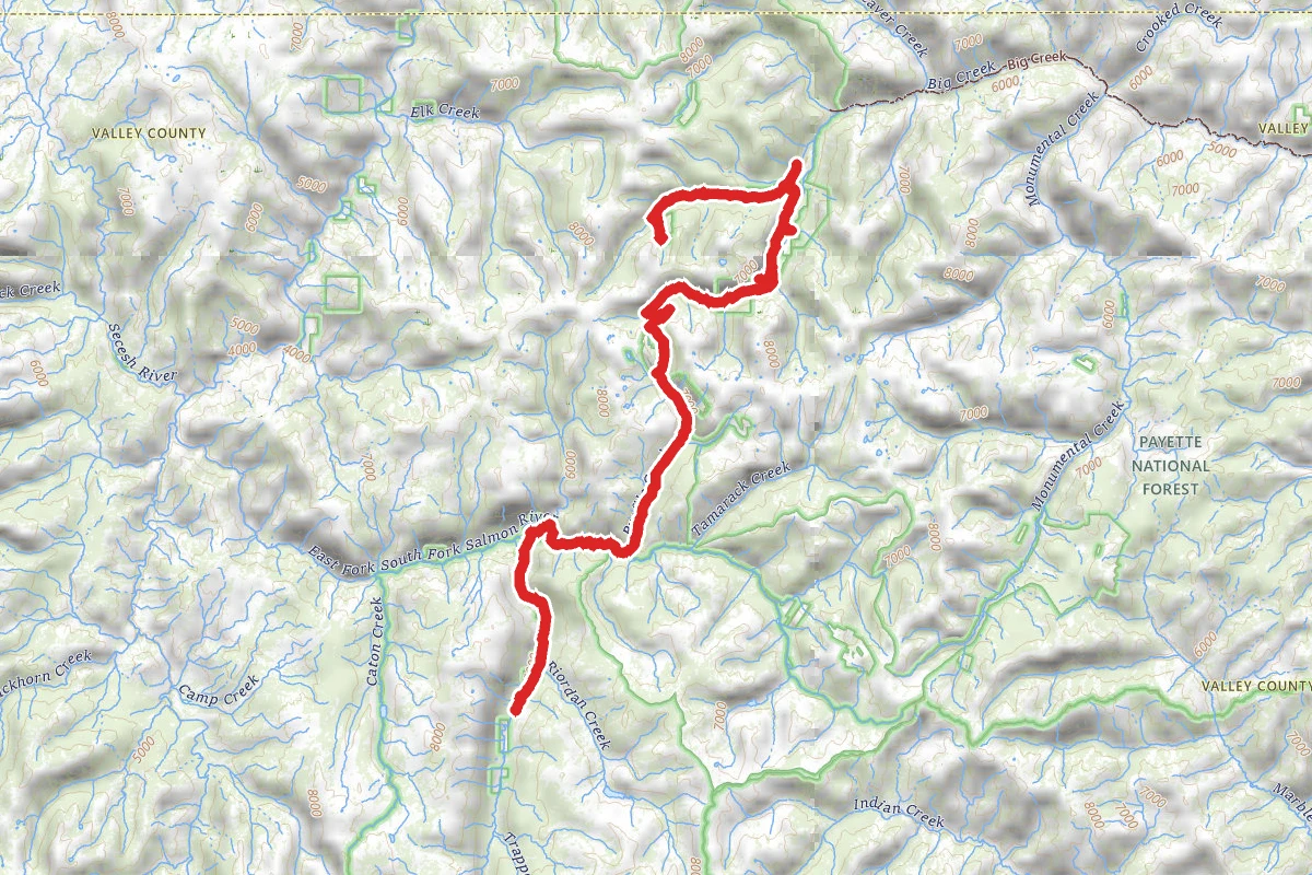
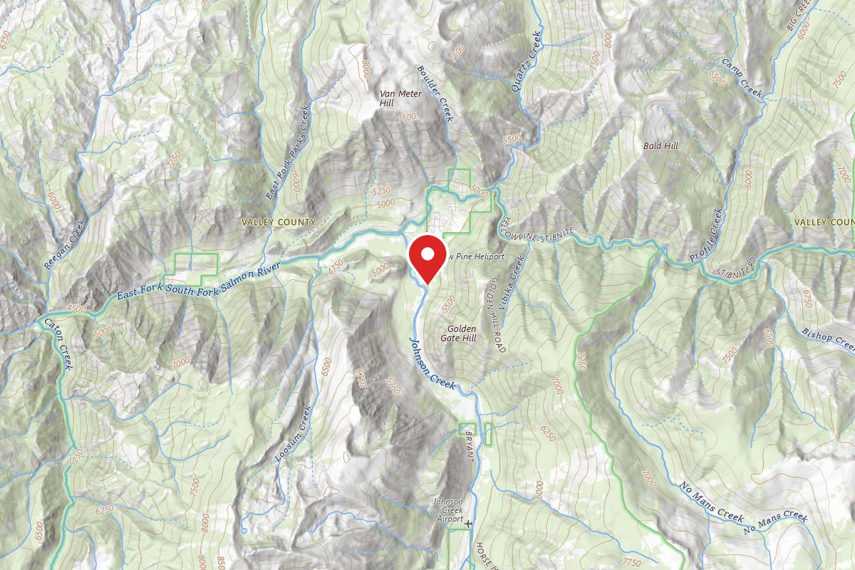
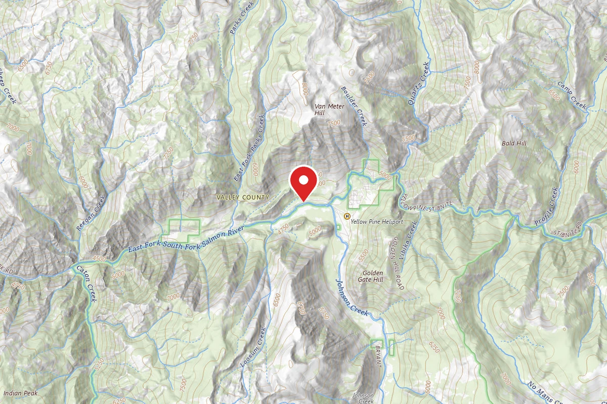
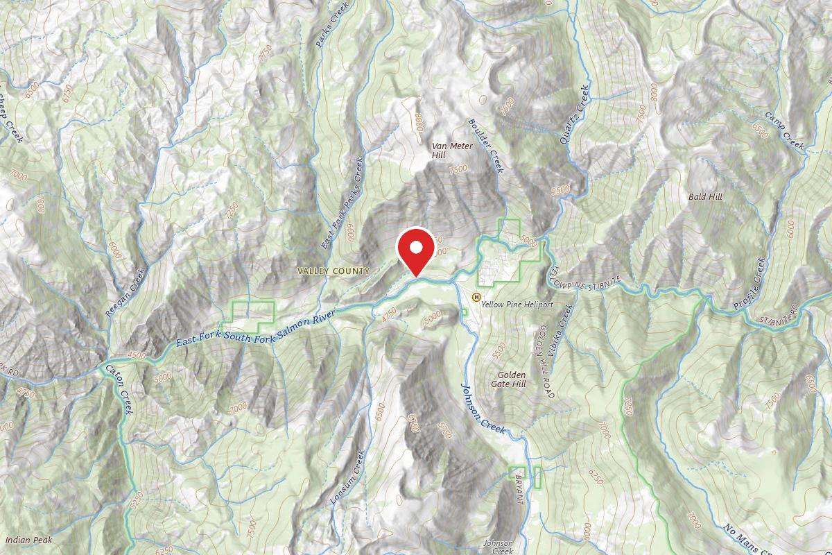
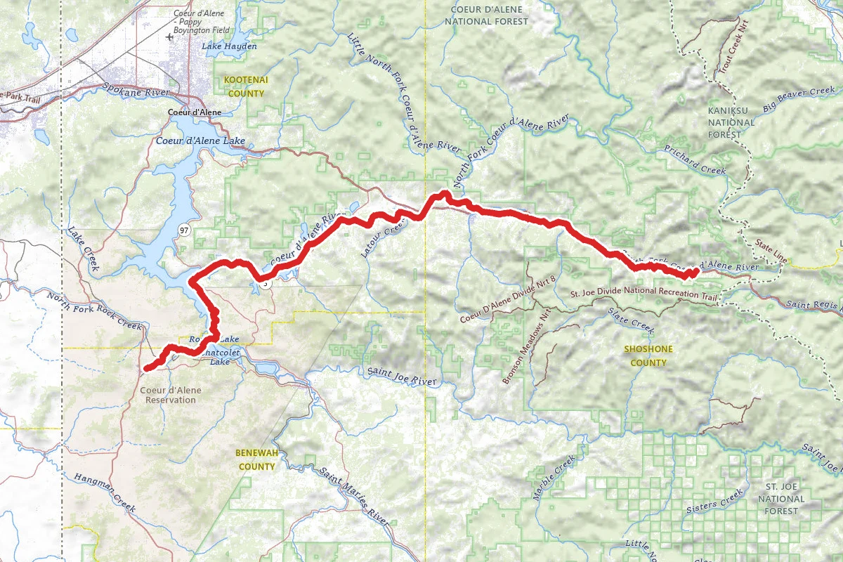
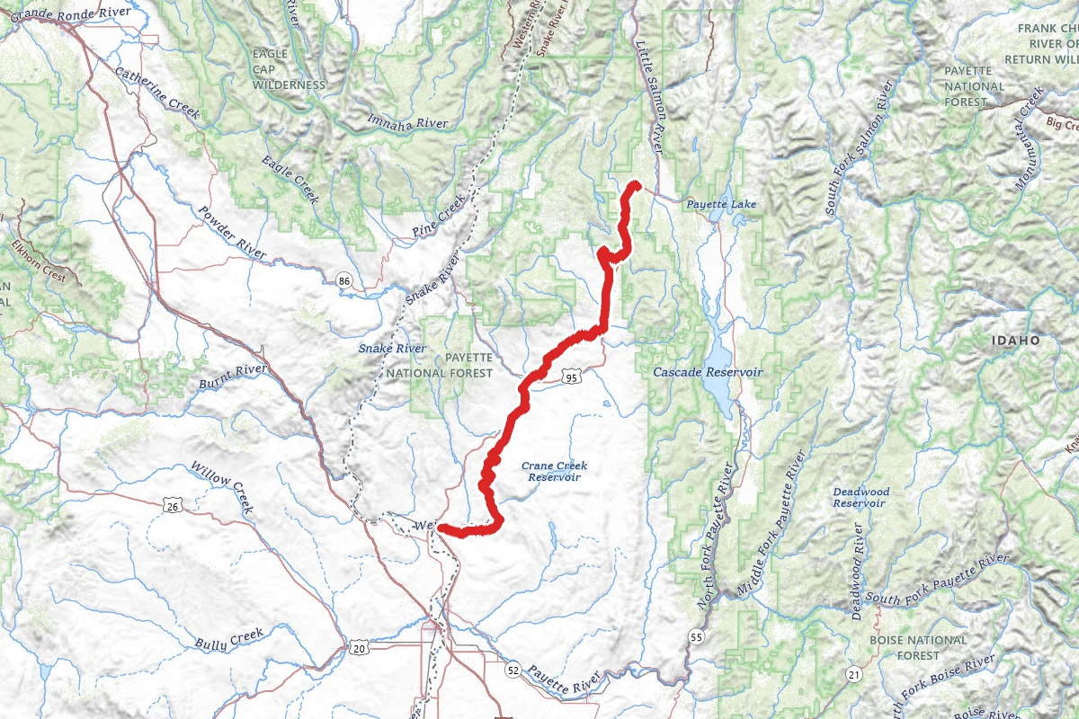
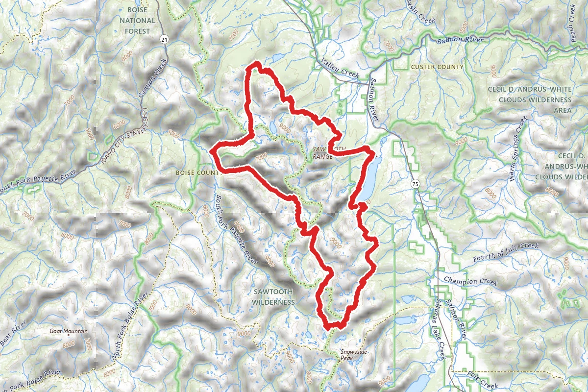
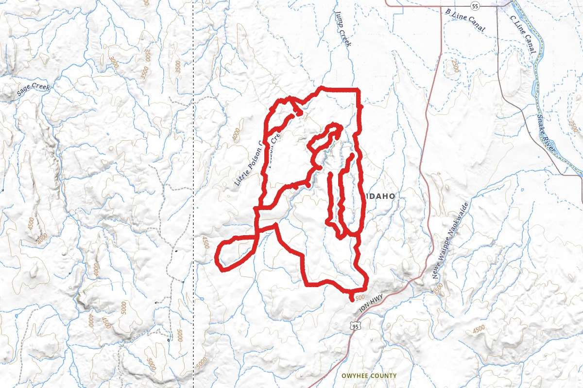
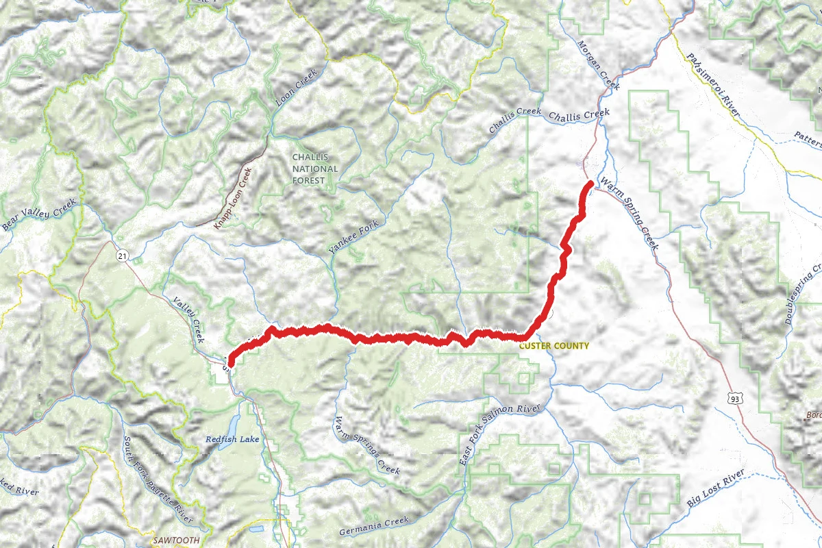
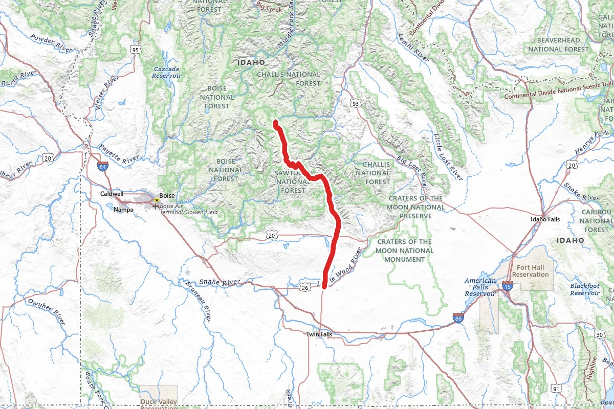
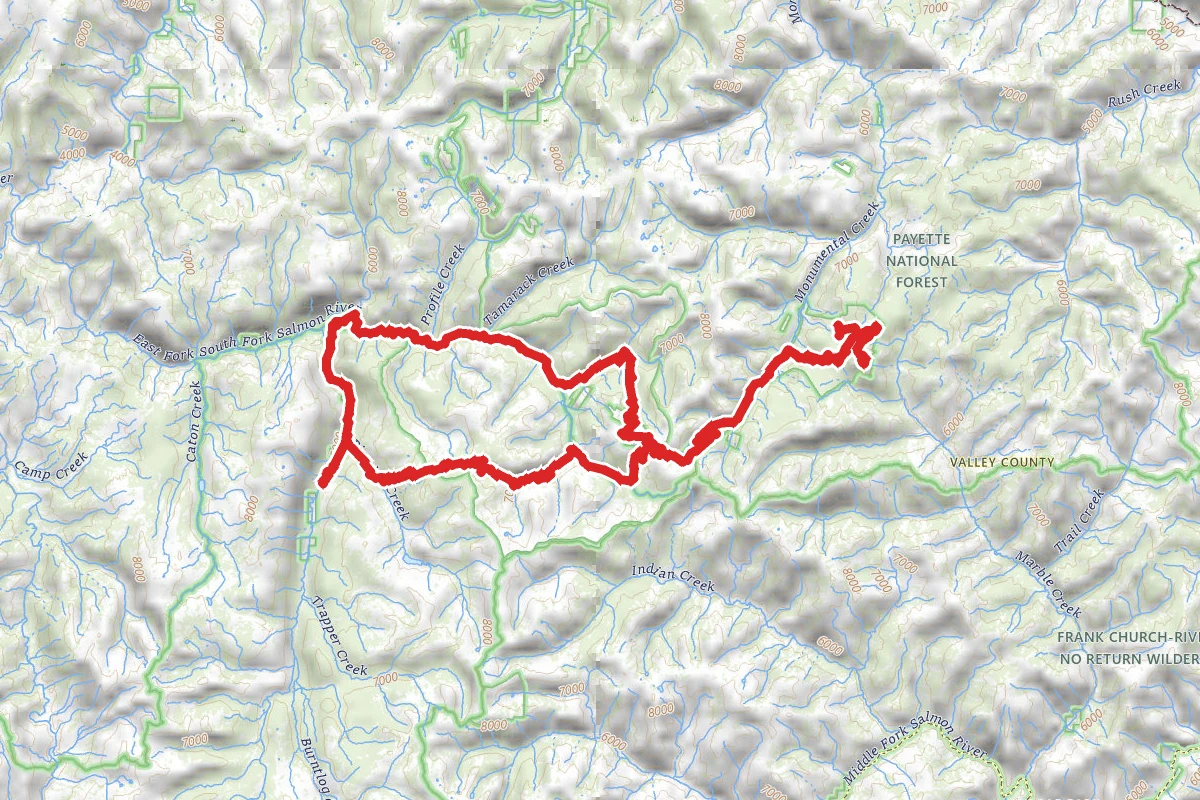
Monumental Summit, Thunder Mountain, Cinnabar Mine OHV Trail route map
ExpertLoop

Monumental Summit, Thunder Mountain, Cinnabar Mine OHV Trail

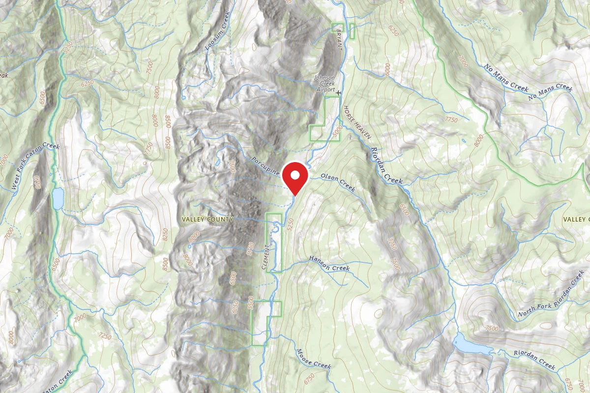
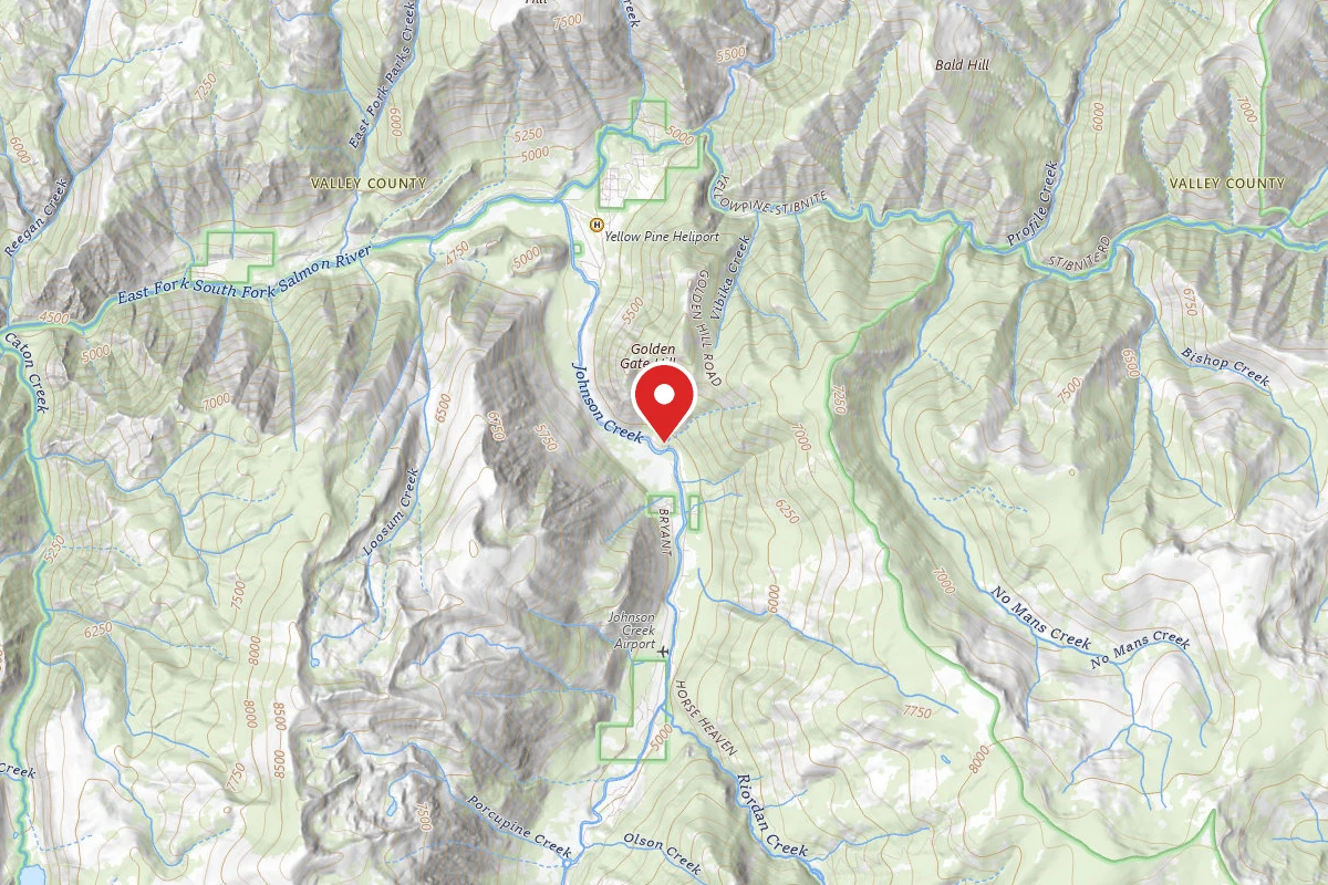
Yellow Pine, Idaho

78.6 mi

Distance

12,621 ft

Elev. Gain

32h 18m

Est. Time

Loop

Route Type

Expert

Difficulty

About This Trail

Imported description
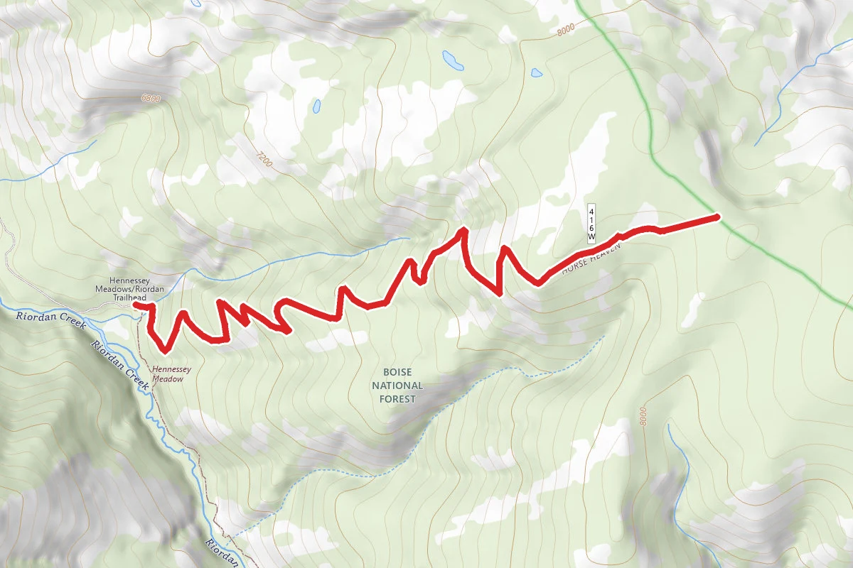
Take the Riordan Creek Road to Hennessey Meadow and then over the mountain to the south edge of the Stibnite Mine. The last two miles of the trail to the Stibnite Mine are rocky, rough, tight cornered, washed out, and brush choked. It is signed for ATV by the USFS, but it is recommend it for anyone. After the last section of trail, continue over Monumental Summit and head pass several old gold/silver mines before arriving at the ghost town of Thunder City. At Thunder City you will see old structures wrapped by fire retardant materials. This is due to a nearby forest fire (Thunder City Fire) in the Frank Church-River of No Return Wilderness. Head towards Dewey Mine where you can photograph and record the mine and the forest fire. As you depart the Dewey Mine, go pass the mine diggings at the Venable and Sunnyside Mines on Thunder Mountain, then you will arrive at the peak of Lightning Peak. As you return to Monumental Summit, take the switchback trail to the Cinnabar Mine and the ghost town there. This is a must visit for anyone in this area. The old mercury mill is still mostly intact and there are fifteen or twenty wooden structures in various stages of decay. Several of the structures are multi-storied and all had wooden ladder fire escapes. Some had several. In the era of wood stoves, fire was a big concern. The technology of seventy years ago is not as advanced as of today. Leaving Cinnabar, follow the Cinnabar Creek Road to Sugar Creek and to its confluence with the East Fork of the South Fork of the Salmon River. Then parallele the river to Yellow Pine and the Johnson Creek Road back to camp. If you stay off the Riordan Creek Road portion, this is a safe trip for about anyone. There are great views of mountains, clear streams, and the E.F. of the S.F. of the Salmon River. There are also a number of historic old mines to visit and photograph.

Trail Conditions

Trail Conditions

Unknown

We have no current condition data for this trail. Check with the operator before you go, and submit a report below if you've been recently.

No recent condition reports. Be the first to share what you see on the trail.

Elevation Profile

Min:1,448 ft
Max:2,641 ft
3,847 ft
3,847 ft
1,448 ft1,846 ft2,243 ft2,641 ft0.0 mi19.6 mi39.2 mi58.9 mi78.5 mi

Trail Details

Route Type
Loop
Surface
Dirt

Official sources & verification

We don't have curated agency sources for this trail in our cache yet. Outdoors is not the permitting authority — confirm conditions, permits, and access with the managing agency before you go. If you know who manages this trail, please tell us.

Reviews

No reviews yet

Be the first to share your experience and help others plan their visit.

Legacy import — verify before navigating

Path geometry came from our pre-launch legacy database. Routes have not yet been re-verified against the operator and may differ from the actual trail.
Hunt context

This trail crosses hunting units

During hunting seasons, wear blaze orange and check regulations — see the Idaho hunting page

Spot an error in our data on Monumental Summit, Thunder Mountain, Cinnabar Mine OHV Trail?