Status unknown — verify before visiting
We don't have current condition data for this trail. Check with the land manager before you go.
31.9 mi
Distance
11,900 ft
Elev. Gain
14h 20m
Est. Time
Point to Point
Route Type
Expert
Difficulty
About This Trail
Imported descriptionTrail Conditions
Trail Conditions
We have no current condition data for this trail. Check with the operator before you go, and submit a report below if you've been recently.
No recent condition reports. Be the first to share what you see on the trail.
Elevation Profile
Trail Details
- Route Type
- Point to Point
- Surface
- Dirt
Official sources & verification
We don't have curated agency sources for this trail in our cache yet. Outdoors is not the permitting authority — confirm conditions, permits, and access with the managing agency before you go. If you know who manages this trail, please tell us.
Reviews
No reviews yet
Be the first to share your experience and help others plan their visit.
Legacy import — verify before navigating
Path geometry came from our pre-launch legacy database. Routes have not yet been re-verified against the operator and may differ from the actual trail.
Hunt context
This trail crosses hunting units
During hunting seasons, wear blaze orange and check regulations — see the California hunting page

Rainbow Bridge via PCT
Mojave Dam To Silverwood Dam
Mojave Forks River Dam Overlook Trail
Deep Creek Hot Springs to Bradford Ridge Path
Bradford Trail and PCT- Deep Creek Hot Springs Loop
Willow Creek OHV Trail
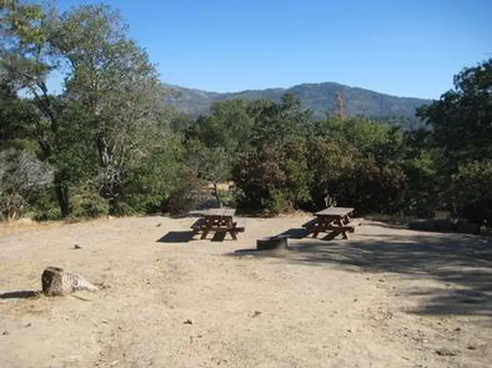
Stay nearby
Campgrounds near this trail
Reservable
Mojave River Forks Regional Park
1.5 mi away · CA
Reservable
Hesperia Lake Park and Campground City Park
2.8 mi away · CA
Reservable
Deep Creek Hot Springs Campground
4.7 mi away · CA
 Reservable
Dogwood
6.9 mi away · CA
Reservable
Silverwood Lake State Recreation Area Campground
7.1 mi away · CA
 Reservable
North Shore Campground
7.1 mi away · CA
Similar length
Similar trails in California

Mount Whitney Trail
California
Rae Lakes Trail
California
Heaton Flat Trail to Iron Mountain
California
Sespe River Trail to Willett Hot Springs
California
San Jacinto Peak Middle Route Trail
California
American River Bike Trail (Jedediah Smith Memorial Trail)
California