Status unknown — verify before visiting

We don't have current condition data for this trail. Check with the land manager before you go.

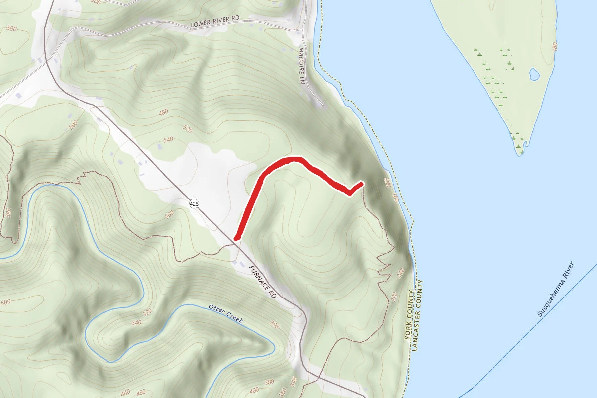
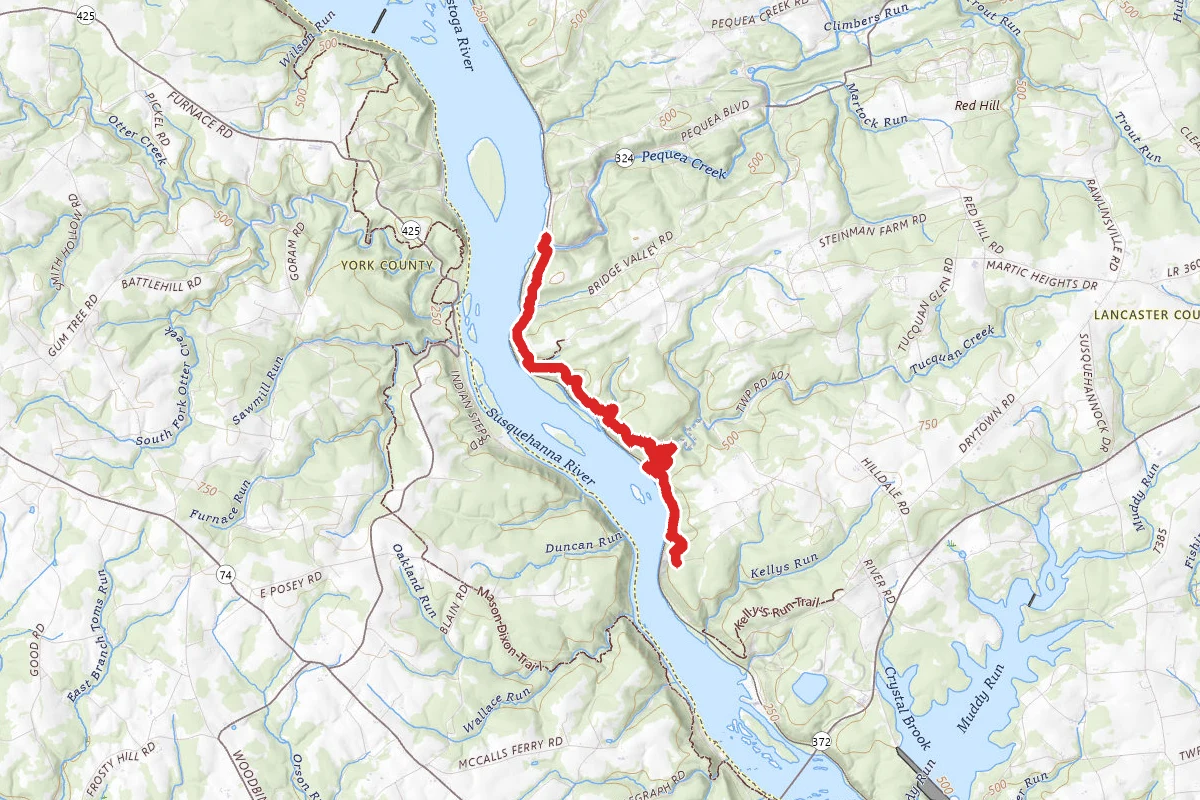
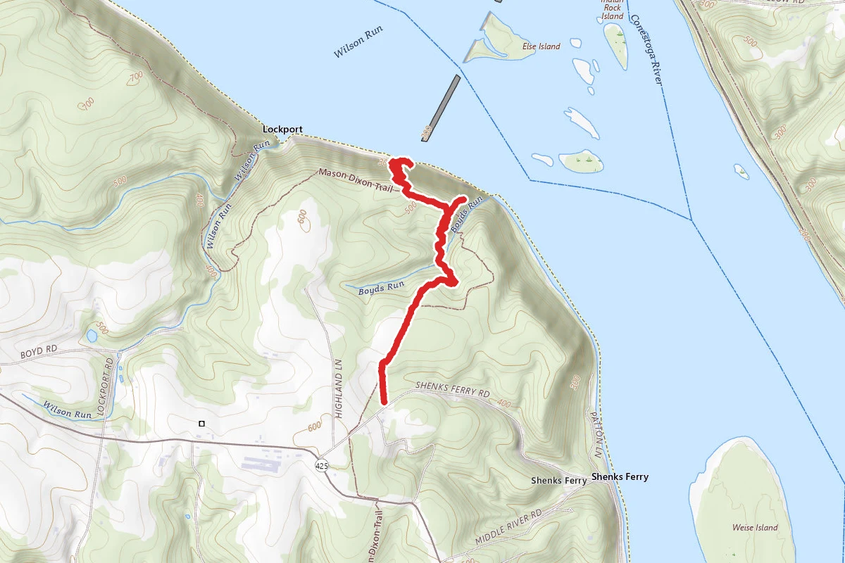
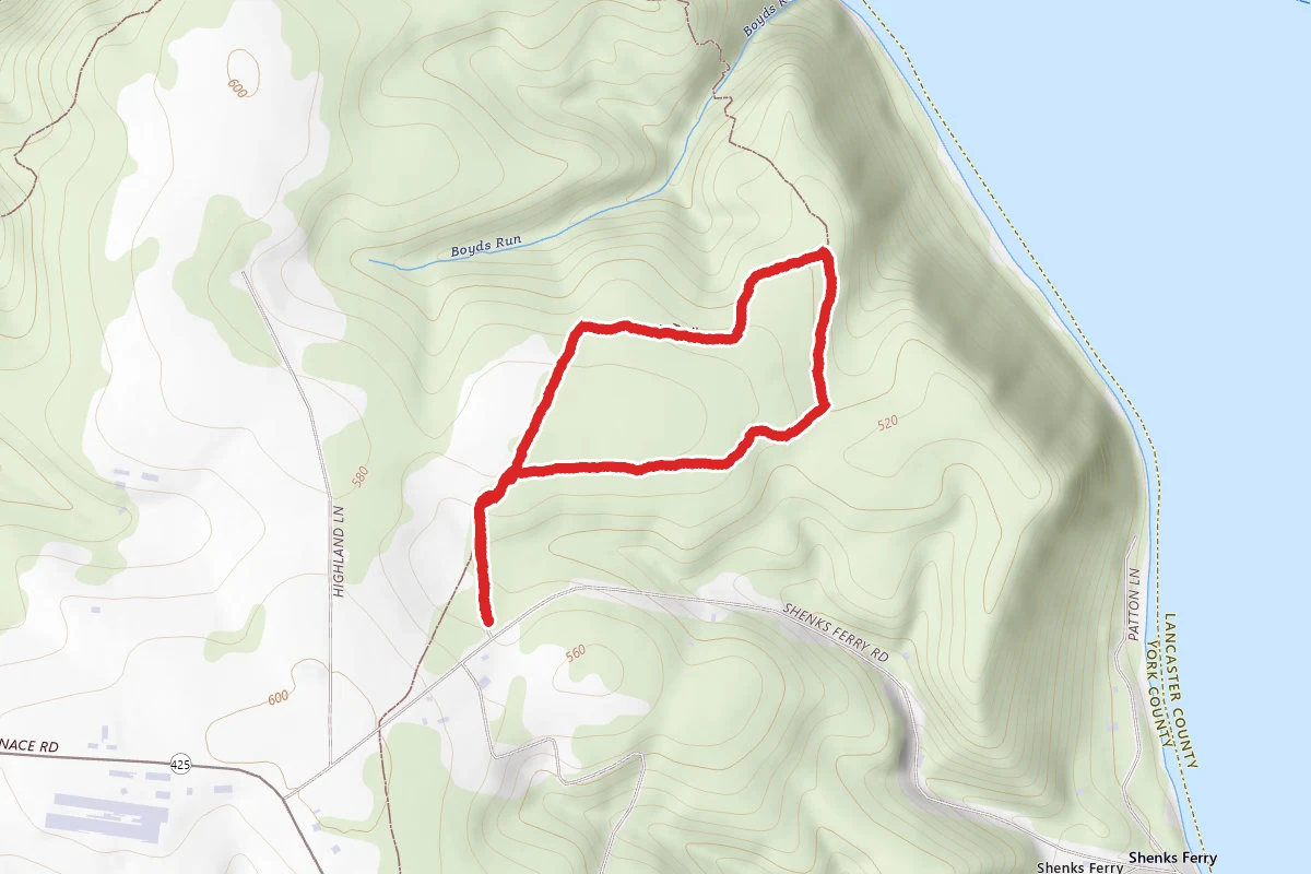
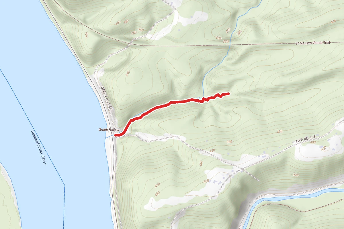
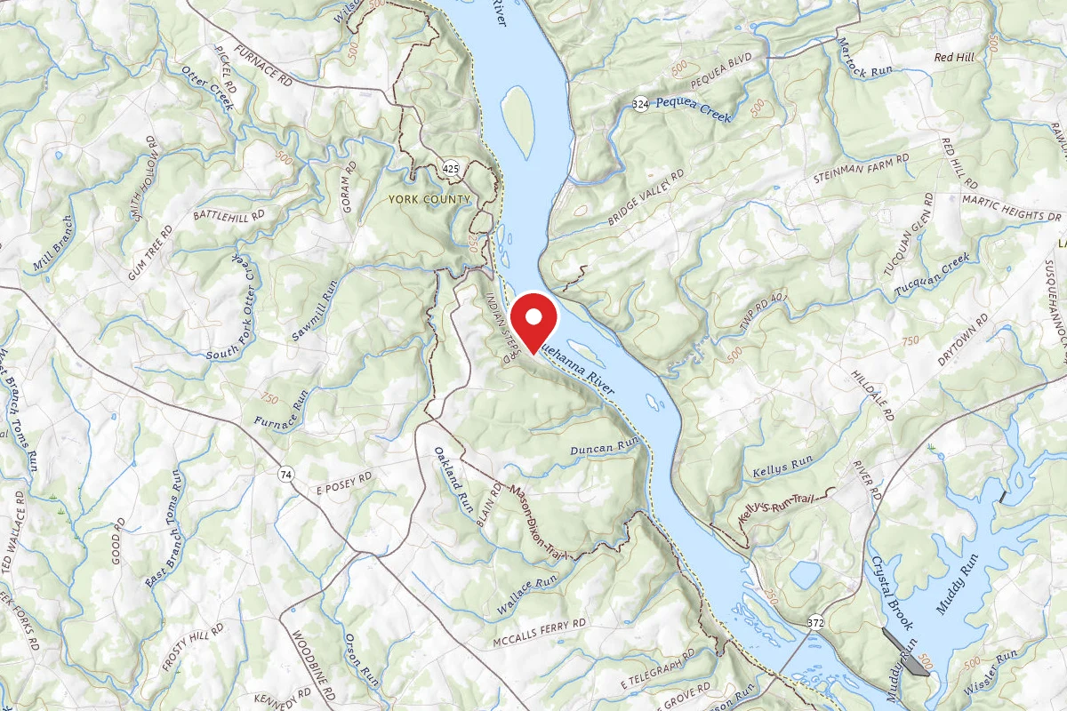
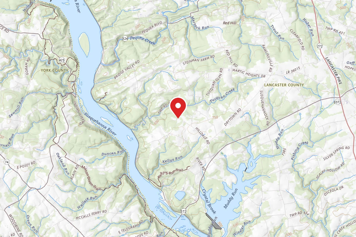
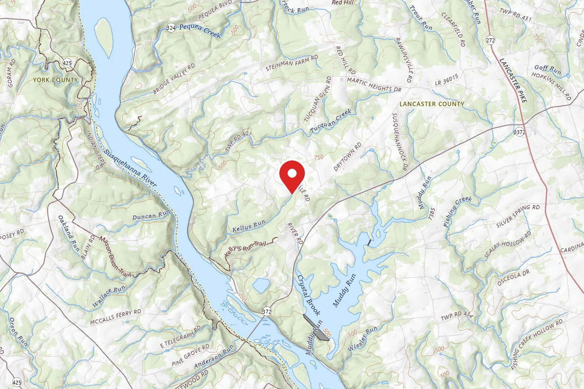
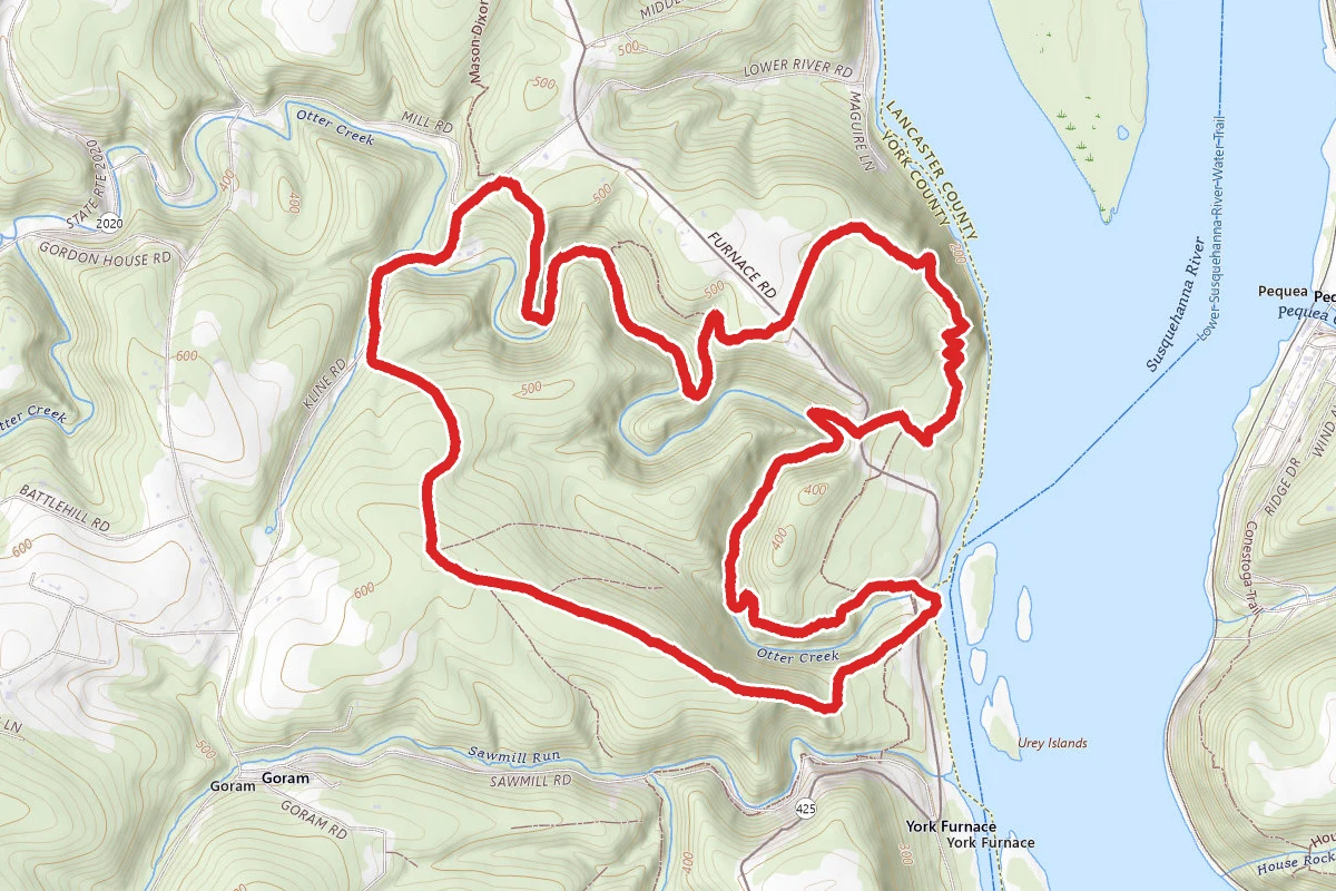
Mason-Dixon Trail Otter Creek Loop route map
ModerateLoop

Mason-Dixon Trail Otter Creek Loop

York, Pennsylvania

5.9 mi

Distance

1,283 ft

Elev. Gain

2h 30m

Est. Time

Loop

Route Type

Moderate

Difficulty

About This Trail

Imported description
There is a trail-head that offers free parking along Furnace Rd. You can also do this loop while parked at the Otter Creek Campground. If you do decide to park at the campground parking or boat launch area there you will need to stop at the office and pay them a small fee for a parking permit. The family that operates this campground are very nice and are always warm and welcoming to visitors.  This loop includes a newly added relocation of the Mason-Dixon Trail that follows alongside the creek further. This entire loop is also the first section of the annual 30 mile KTA Superhike. From this trailhead you begin at the newly built parking area that has room for about 6 vehicles. You will walk up a wide mowed logging road for a little while until you reach the beautiful Urey Overlook. Here you will find a picnic table and a beautiful view of the Susquehanna River. If you look off to your left you'll see the Safe Harbor Dam. Continue following the blue blazes of the Mason-Dixon Trail down the mountain from here, be careful not to get confused and turn off onto one of the other local trails. The blue-blazes are quite frequent so if you stop seeing them for a while then you might have made a wrong turn. You will eventually cross over Furnace Rd. then hike along the trail some more before finally coming back out onto Furnace Rd. right at the bridge near the campground entrance. You will follow Furnace Rd. here (crossing the bridge) up to the campground office. If you follow the blue blazes along and on the road you will have no problems finding your way. Once you walk up the black-topped path up to where the campground office is, you will need to start disregarding the blue blazes. From here you will be off of the Mason-Dixon Trail for a short while. Follow the paved campground's road on the very right and stay far right as you walk up through the campground. You will see several left turns, do not take any of them. Stay on this paved road all the way up the right side of the campground until you reach the very top and it starts to curve left. You will begin to see a fenced in area on your right. After you have passed the fenced in section there will be an old logging rid that you will make a sharp right and back turn onto. It climbs abruptly up the mountain. Follow this logging road for a long while. At the top you will pass some newly built Powerline Towers. Pass these and keep going down the dirt road and follow this dirt road as it curves right and then back down to the bottom of the mountain. Once you reach the very bottom you'll be passing a quite interesting homestead  with lots of eclectic looking gardens and roofing made out of old billboard signs. There will be lots of chickens running free here. You will now be on Kline Rd.  Follow this road for a good bit. You will cross a small stream and pass some nice little houses. You will eventually catch up with where the the Mason-Dixon Trail crosses this road from your left to your right. Catch the trail here by turning right up into the woods. You will now be following the Blue Blazes again until the end of this hike.  The rest of fairly simple as you follow the Blue Blazes. There will be one point along the creek where you will see a left turn on the trail going up the mountain. If you notice the blaze here turns Red. This is an in-park trail that will also take you back up to the Mason-Dixon Trail where you will be eventually. However, keep right and stay along the Creek and the Blue Blazes will eventually take you back up to the top of the mountain and then crosses Furnace Rd right to the trail-head parking lot.

Trail Conditions

Trail Conditions

Unknown

We have no current condition data for this trail. Check with the operator before you go, and submit a report below if you've been recently.

No recent condition reports. Be the first to share what you see on the trail.

Elevation Profile

Min:58 ft
Max:193 ft
391 ft
391 ft
58 ft103 ft148 ft193 ft0.0 mi1.5 mi3.0 mi4.4 mi5.9 mi

Trail Details

Route Type
Loop
Surface
Dirt

Official sources & verification

We don't have curated agency sources for this trail in our cache yet. Outdoors is not the permitting authority — confirm conditions, permits, and access with the managing agency before you go. If you know who manages this trail, please tell us.

Reviews

No reviews yet

Be the first to share your experience and help others plan their visit.

Legacy import — verify before navigating

Path geometry came from our pre-launch legacy database. Routes have not yet been re-verified against the operator and may differ from the actual trail.

Spot an error in our data on Mason-Dixon Trail Otter Creek Loop?