Status unknown — verify before visiting

We don't have current condition data for this trail. Check with the land manager before you go.

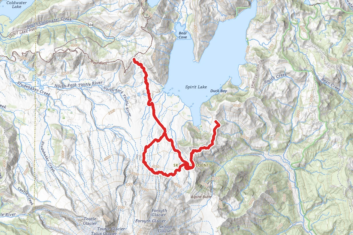
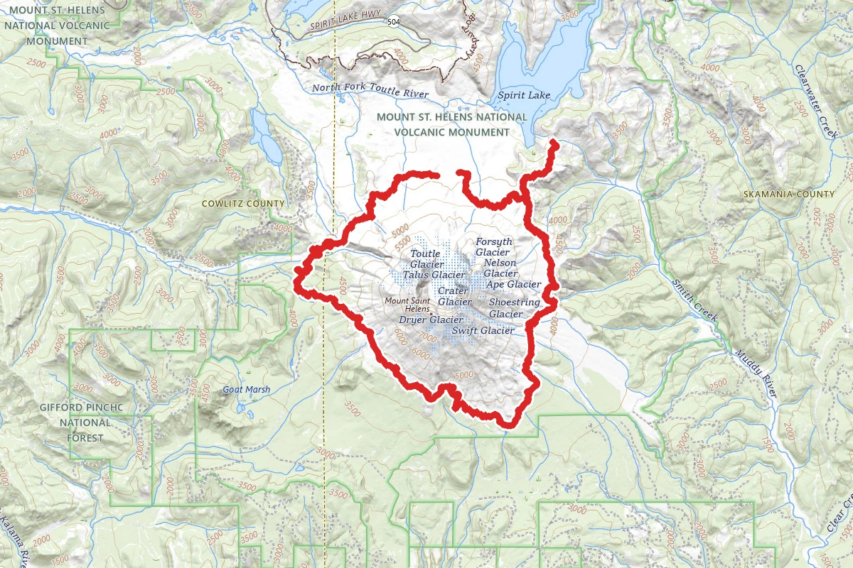
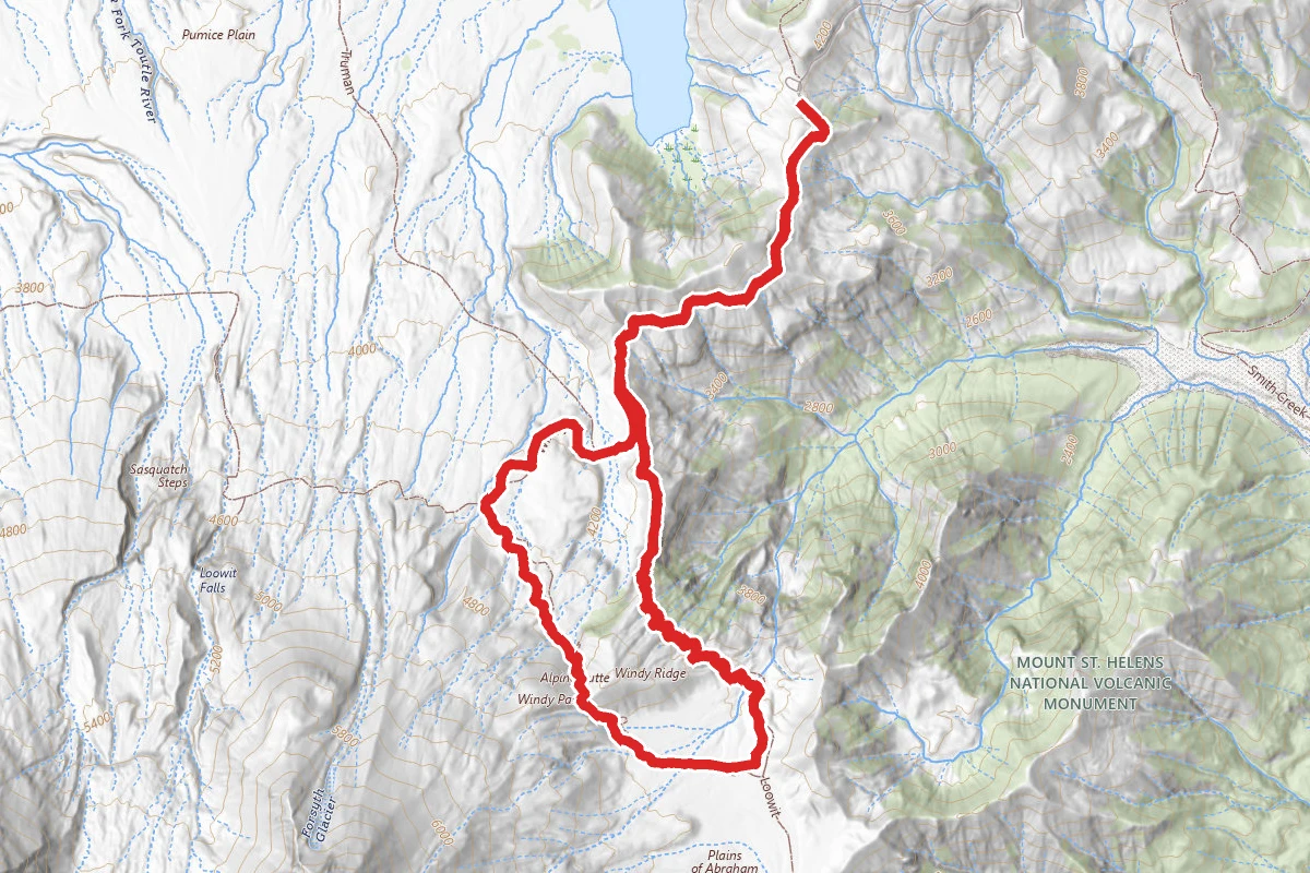
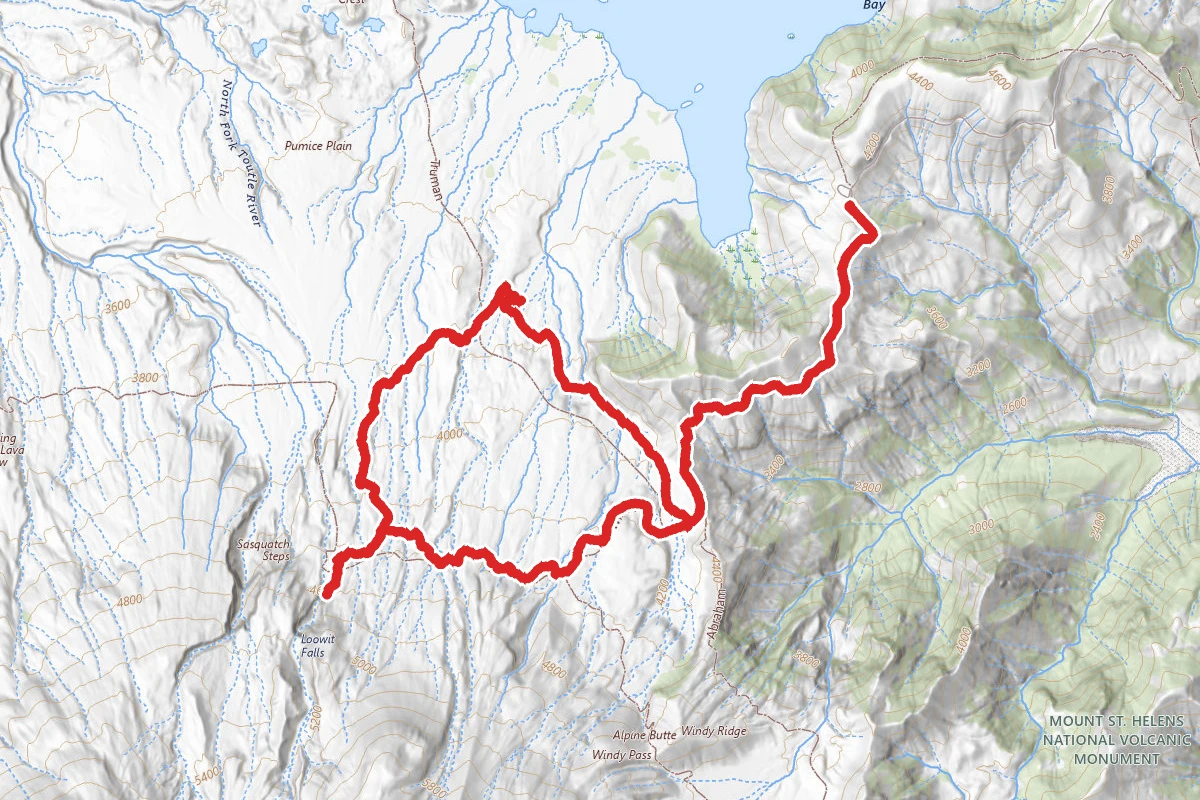
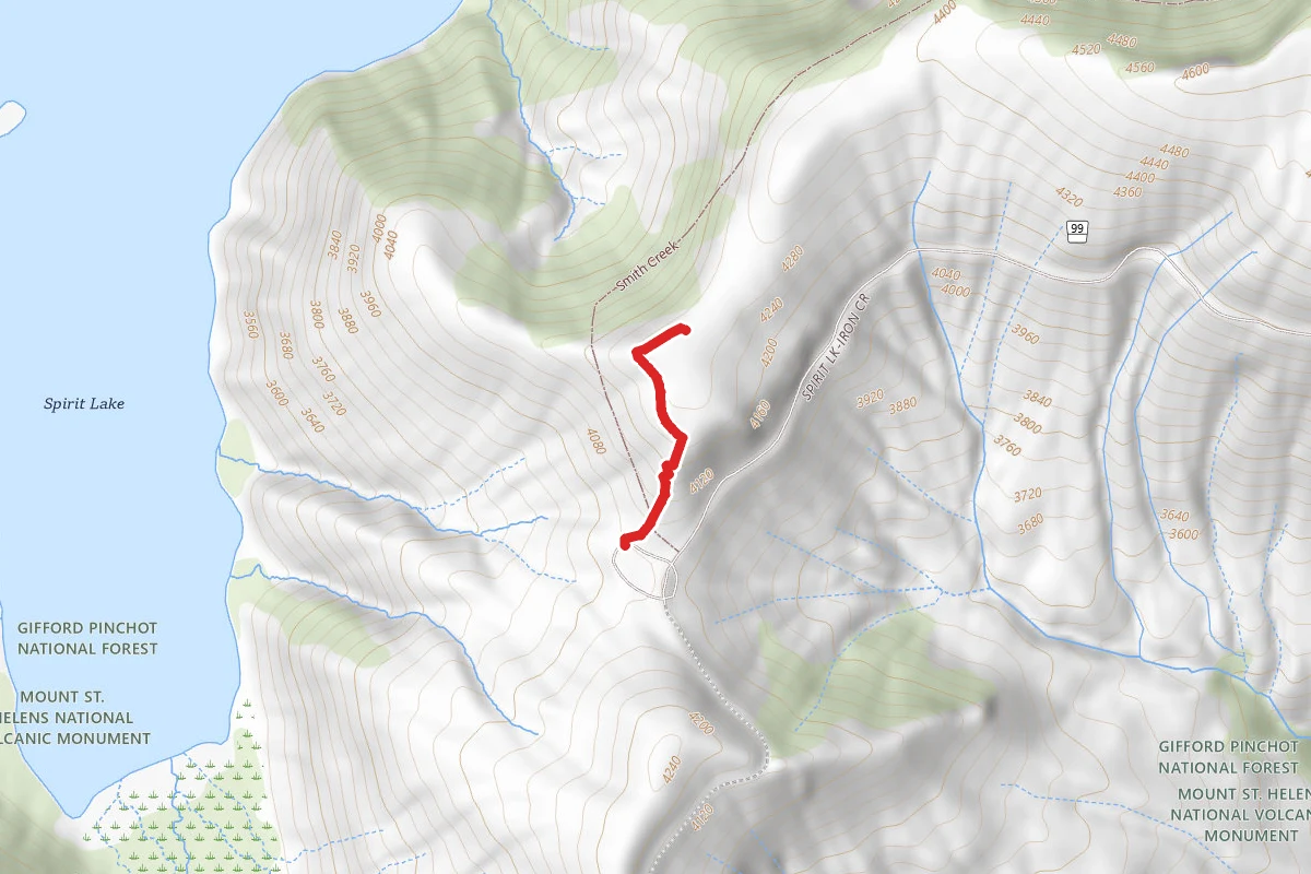
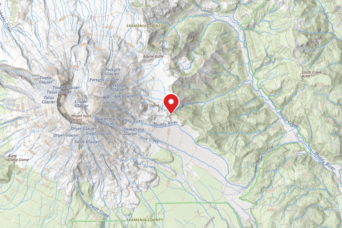
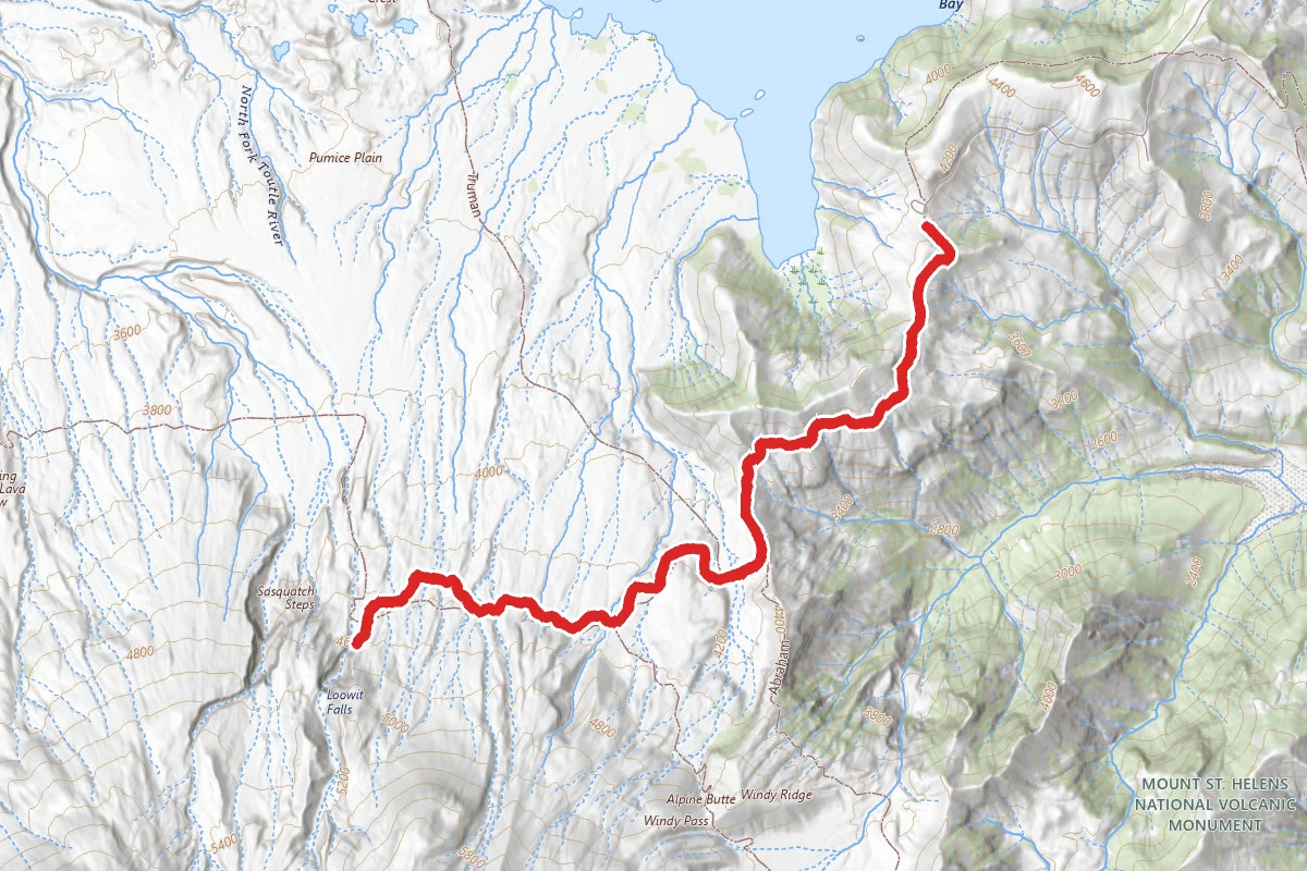
Loowit Falls Trail route map
DifficultOut and Back

Loowit Falls Trail

Cougar, Washington

8.1 mi

Distance

2,277 ft

Elev. Gain

3h 17m

Est. Time

Out & Back

Route Type

Difficult

Difficulty

About This Trail

Imported description
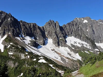
The first part is a walk along a forest road (closed to the public) to the actual trail. It is worth taking a stop at the recording station just a little way in to read the plaque and appreciate the view. Upon reaching the trail, you cross what looks like a dry riverbed, and round a shady bend with a lovely small patch of forest. From there you start up the actual debris flow, and the view just never stops being breathtaking. It looks deceptively easy from here, but make no mistake, you are constantly dipping in and out of runoff channels, and many of these dip are more of a scramble than a hike. About 3/4 of the way in, you'll come to a small creek surrounded by trees, but do not stop just yet. You can hear the much larger creek coming from the spring just a few feet down the trail, and this is where you want to stop and rest. This is truly a little oasis. You can see the water erupting from nothing, and the water here is incredibly cool, clean, and refreshing. There are lots of boulders to sit on. From here, it's a short hike to the fork up to the falls. The trail up to the falls viewpoint is not particularly steep, but much of it is just waking on volcanic debris, and it is harder than it looks. The end of the trail is marked by a large rock pile, and the view of the falls from here, as well as the surrounding gorge are unforgettable. You also have views of the top of Mt Rainier, and Johnston ridge from here. The walk back down to the main trail is much easier, and there is the chance of spotting mountain goats. The rest of the return trip is really not much easier than the trip in, because you still are dipping in and out of runoff channels. That said, you are facing spirit lake, and the views continue to boggle the mind. Mount Adams is your constant companion for the last segments of the hike, and taking the time to appreciate the geologic history laid bare in the naked rocks is a great way to kill time. Along the road for the last couple of miles, you can see layers of pumice from multiple eruptions over the centuries, and, and the spectacular colors of the rock comprising the surrounding valleys.

Trail Conditions

Trail Conditions

Unknown

We have no current condition data for this trail. Check with the operator before you go, and submit a report below if you've been recently.

No recent condition reports. Be the first to share what you see on the trail.

Elevation Profile

Min:1,240 ft
Max:1,394 ft
694 ft
694 ft
1,240 ft1,291 ft1,343 ft1,394 ft0.0 mi2.0 mi4.0 mi6.0 mi8.0 mi

Trail Details

Route Type
Out & Back
Surface
Dirt

Official sources & verification

We don't have curated agency sources for this trail in our cache yet. Outdoors is not the permitting authority — confirm conditions, permits, and access with the managing agency before you go. If you know who manages this trail, please tell us.

Reviews

No reviews yet

Be the first to share your experience and help others plan their visit.

Legacy import — verify before navigating

Path geometry came from our pre-launch legacy database. Routes have not yet been re-verified against the operator and may differ from the actual trail.

Hunt context

This trail crosses hunting unit

During hunting seasons, wear blaze orange and check regulations — see the Washington hunting page

Spot an error in our data on Loowit Falls Trail?