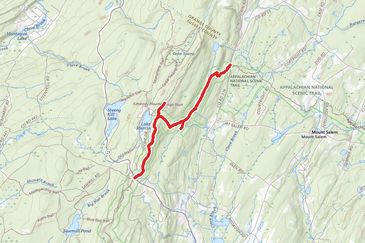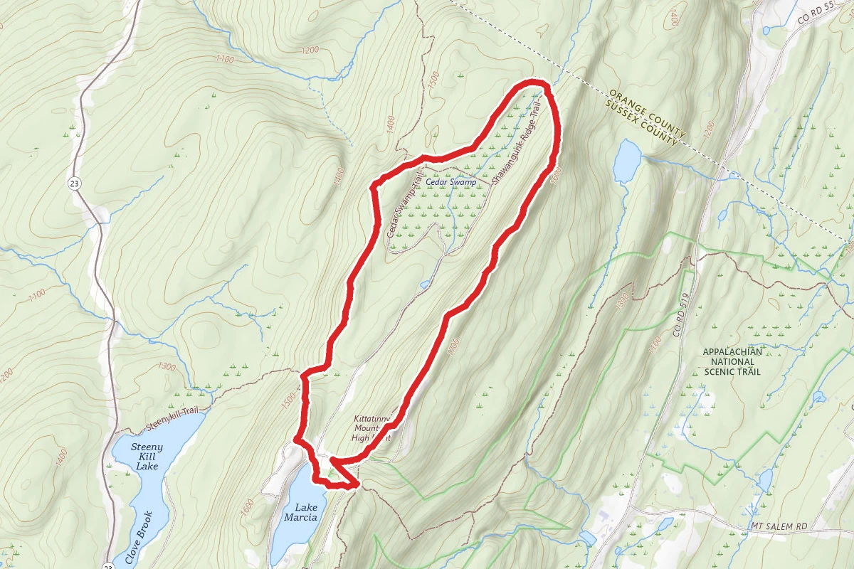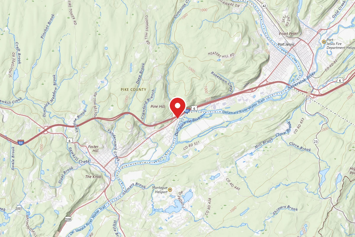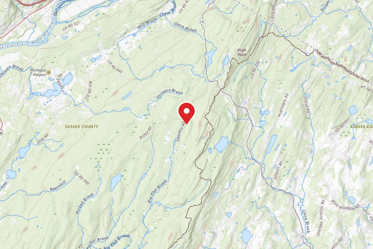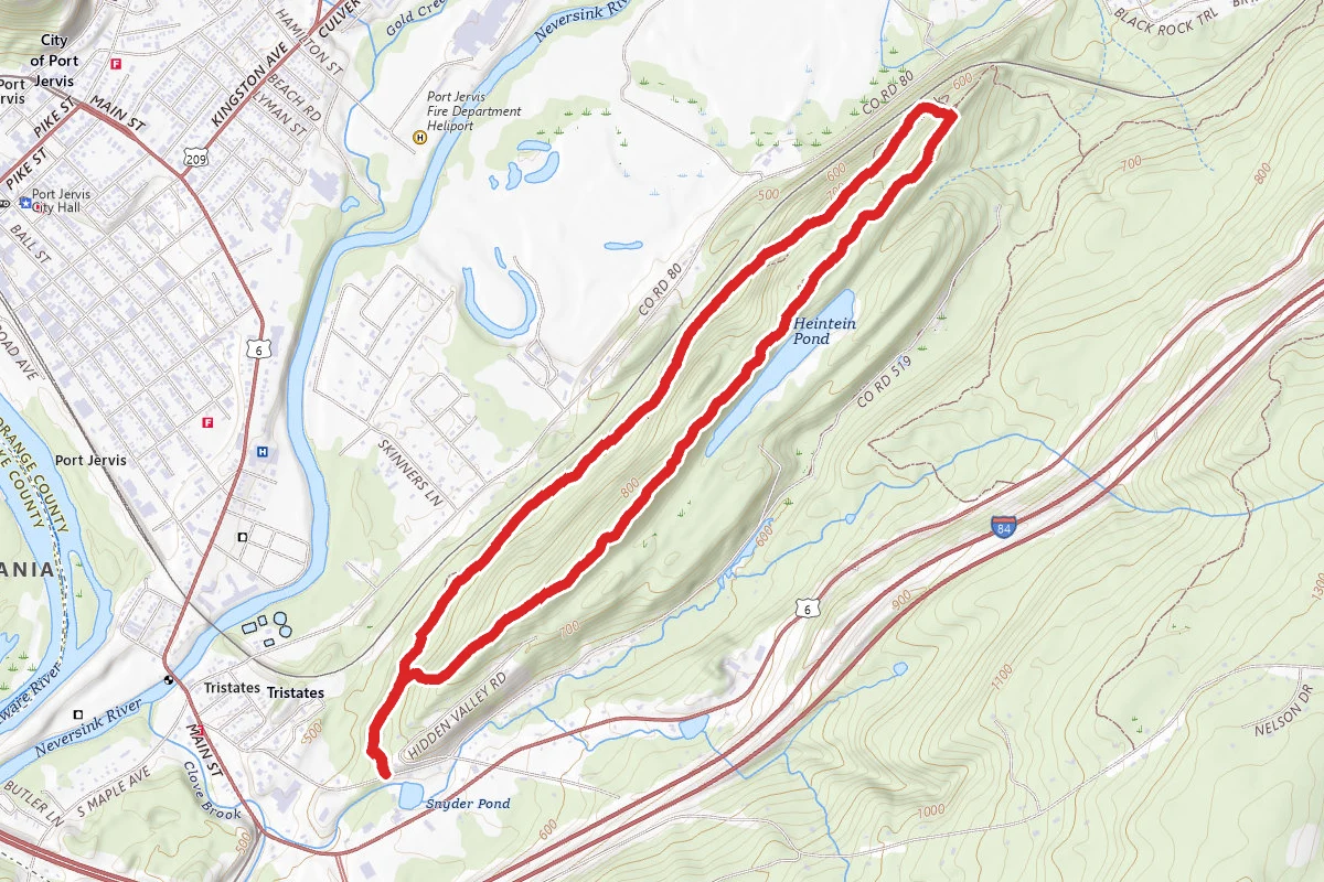
From the parking area, head north on a footpath, following the red blazes of the Lenape Ridge Trail and the yellow blazes of the Minisink Trail. Bear right at a junction with an unmarked trail and continue through an attractive forest of deciduous trees and white pines, with an understory of blueberries and ferns. Soon, you’ll come to a fork where the two trails diverge. The yellow-blazed Minisink Trail will be your return route, but for now, bear right and continue ahead on the red-blazed Lenape Ridge Trail. Soon, the trail begins to climb on switchbacks towards the ridge, then levels off just below the ridge. Here, the forest is composed of deciduous trees and hemlocks, with sprouts of American chestnut. Although decimated by the chestnut blight over a century ago, chestnut seedlings still sprout from the roots of trees that have been killed by the blight and can reach a height of up to 20 feet before succumbing to this disease. Lenepe Ridge Shale outcropping. Soon after reaching the crest of the ridge, the trail emerges onto an open area with rock outcrops. The outcrops along the ridge are formed of shale, a relatively soft and crumbly rock, which has been uplifted and slanted at sharp angles. In about a quarter mile, you'll reach a panoramic viewpoint over the Shawangunk Ridge. The High Point Monument (which marks the highest point in the state of New Jersey) is visible to the right, and you can see (and, unfortunately, hear) the traffic as it makes its way up the ridge on I-84. You'll want to stop here to take in the view. Continue north along the ridge and, you'll soon reach another viewpoint, this one marked by pitch pines and cedars, from which you can see the crest of I-84 as it cuts across the Shawangunk Ridge. In another quarter mile, you’ll reach a third broad viewpoint, from where you can look down through the trees at Heinlein Pond below. High Point Monument from the Lenepe Ridge Trail. After following an open section of the ridge (with views to the east blocked by trees), the trail turns sharply right and descends slightly. A short distance ahead, the trail briefly joins a woods road which comes up from the left, then turns left, leaving the road, and continues on a footpath.. In another quarter mile, the yellow-blazed Minisink Trail joins from the left at a power line clearing, which affords a broad west-facing view over tranquil farmland. After taking in the view, turn around and proceed south on the yellow-blazed Minisink Trail. You’re now following the western side of the ridge and paralleling the Metro-North Port Jervis Line, which is visible in places immediately to the west (right). Unlike the trail along the eastern side of the ridge, which is nearly level, the trail along the western face features a number of rather steep ups and downs. The Minisink Trail descends on switchbacks along an old power line access road, then descends more steeply on a footpath. At the base of the descent, it passes an attractive stand of rhododendron, then climbs again to emerge onto an exposed section of the ridge, with west-facing views. Look carefully for blazes in this area. The trail soon descends and continues through a hemlock grove. Upon reaching an outcrop of massive boulders, the trail turns right and descends steeply along the boulders. After a short level stretch, the trail again begins to climb, with a short side trail leading out to the right towards the railroad tracks. Soon, the trail begins to run along the side of a hill, with some ups and downs. In several places, it runs along a steep escarpment on the right and passes more massive rock outcrops on the left. After nearly two miles of hiking along the western side of the ridge, the trail joins a woods road for a short distance, then bears left and continues on a footpath. A quarter mile beyond, you’ll reach the junction with the red-blazed Lenape Ridge Trail. Turn right and follow the co-aligned red and yellow trails back to the trailhead.
Trail Conditions
Trail Conditions
Unknown
We have no current condition data for this trail. Check with the operator before you go, and submit a report below if you've been recently.
No recent condition reports. Be the first to share what you see on the trail.
We don't have curated agency sources for this trail in our cache yet. Outdoors is not the permitting authority — confirm conditions, permits, and access with the managing agency before you go. If you know who manages this trail, please tell us.
Reviews
No reviews yet
Be the first to share your experience and help others plan their visit.
Legacy import — verify before navigating
Path geometry came from our pre-launch legacy database. Routes have not yet been re-verified against the operator and may differ from the actual trail.