Status unknown — verify before visiting

We don't have current condition data for this trail. Check with the land manager before you go.

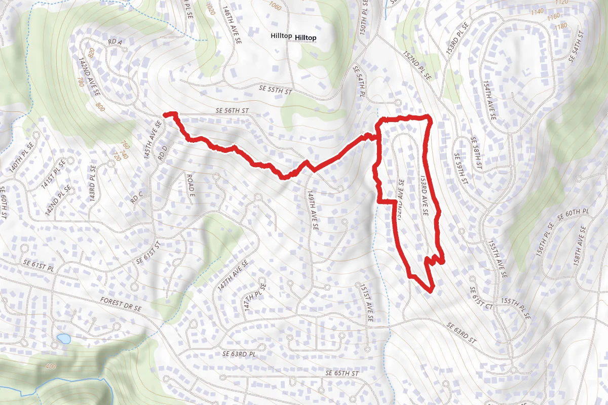
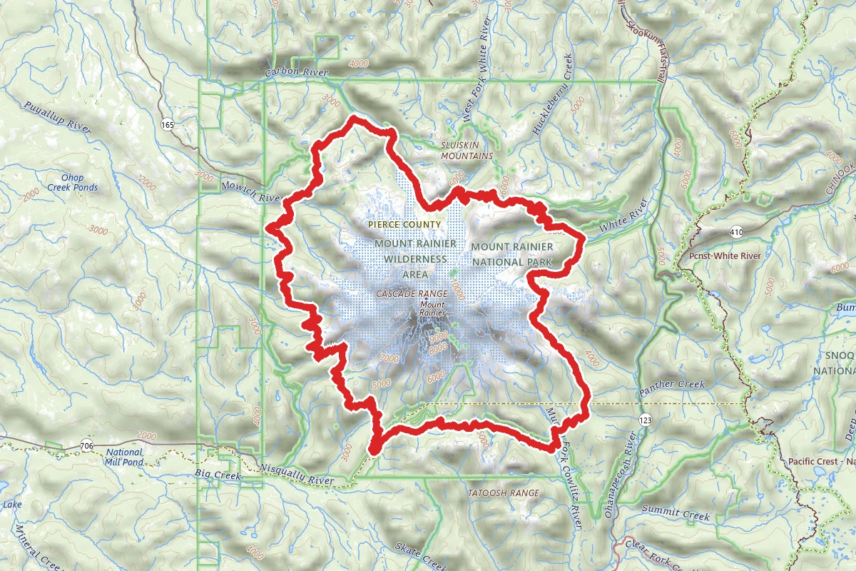
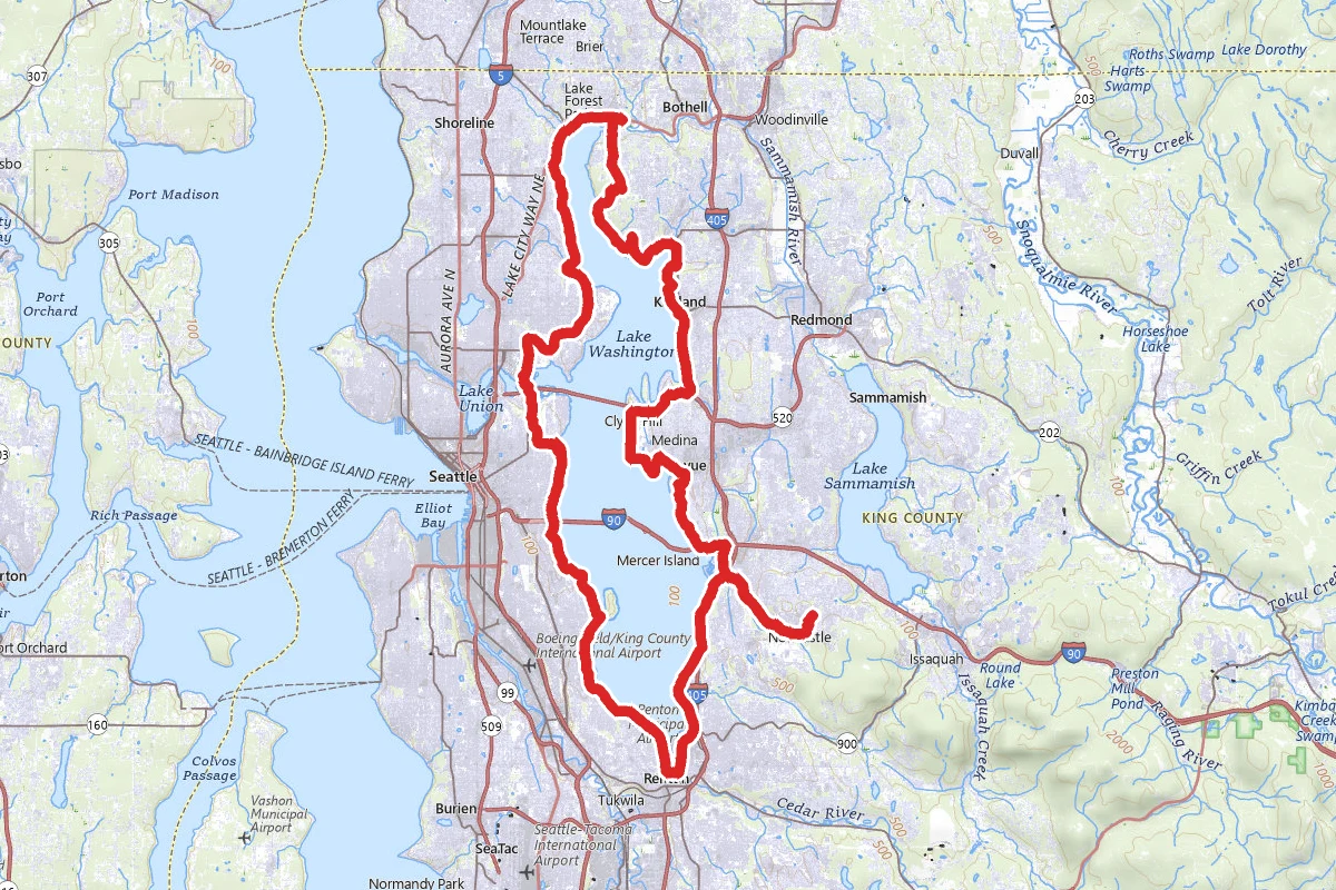
Lake Washington Road Bike Loop route map
ExpertLoop

Lake Washington Road Bike Loop

Bellevue, Washington

63.2 mi

Distance

6,850 ft

Elev. Gain

23h 5m

Est. Time

Loop

Route Type

Expert

Difficulty

About This Trail

Imported description
This ride traces a loop around the shoreline of Lake Washington. It follows a mix of trails and city streets, and keeps to mostly residential but still very scenic areas. The route provides plenty of views of the lake along with the surrounding mountains and hills in the distance, and opportunities on both sides to stop and stretch your legs in a number of waterfront parks. Starting on the Eastside about three-quarters of the way down and proceeding clockwise, the route initially follows the Lake Washington Loop Trail along Lake Washington Blvd. This offers some nice views of the lake and mountains, especially as you crest a short hill (Kennydale Hill) near the southern end of the lake. After topping the Kennydale Hill, the next sight up is the Renton Municipal Airport right at the southern end of the lake. This is a good place to watch small planes taking off and landing if you like that sort of thing. After the airport, climbing away from the waterfront and moving north through residential areas, the next scenic point is the run between Seward and Coleman Park (near the I-90 bridge). About midway up this leg is the Mt. Baker Rowing and Sailing Center, nestled in a small protected bay and perfect for sailing and kayaking or watching those who are. After passing Coleman Park, the route climbs back up into the residential neighborhoods and shoots north towards the Montlake Cut (the short stretch of water connecting Union Bay and Portage Bay, which in turn connects Lake Washington to Lake Union and eventually the Puget Sound - ah, Seattle geography!) and the University of Washington. Although this ride keeps to the Lake Washington Loop Trail route, an alternate route that's also especially pretty in the spring and fall would be to follow the streets through the Washington Park Arboretum to the east. Beyond the Montlake Bridge the route joins the Burke-Gilman Trail past the University, Sand Point, and Lake Forest Park towards the north end of the lake in Kenmore. The BGT is a rail trail, part of a 30-mile continuous stretch of paved trail (including the Sammamish River Trail) that runs from the Seattle waterfront to Marymoor Park on Lake Sammamish in Redmond. This section of the route is also very pretty in the spring and fall, as the trail stays under the trees while occasionally popping out to highlight the lake. At the north end, instead of continuing on towards the Sammamish River Trail, this route turns south and heads down along the east side of the lake. Before getting back to the waterfront at Juanita Bay Park, there's a climb to conquer: Finn Hill (although truth be told it’s two, actually, Finn Hill and Juanita Hill with a nice downhill coast between). Juanita Bay Park provides opportunities to stop and follow the boardwalks through the bay wetlands, where you’re sure to see wading birds and possibly and falcon or two or even an eagle overhead. Just make sure you get off your bike and walk it on the boardwalk, in accordance with the posted signs. Past Juanita Bay the route heads down alongside the lake through Kirkland’s lakefront park and shopping district, then bends west for another short climb to get up the edge of Clyde Hill before heading south again towards Bellevue and Medina. At this point there’s another opportunity to get close to the water if you take a detour north to the end of Yarrow Point, one of three small peninsulas that extend like fingers on a glove into Lake Washington. Heading south through Medina and then southeast along the edge of Meydenbauer Bay (with more nice views of the lake and multiple opportunities to detour to waterfront beaches if you wish) the route climbs away from the heavier traffic of downtown Bellevue and through the tiny township of Beaux Arts Village which is nestled along the edge of the lake. The tree-lined roads here are relatively quiet, passing through rolling hills before dropping back down to the waterfront near Enatai Beach Park near the I-90

Trail Conditions

Trail Conditions

Unknown

We have no current condition data for this trail. Check with the operator before you go, and submit a report below if you've been recently.

No recent condition reports. Be the first to share what you see on the trail.

Elevation Profile

Min:2 ft
Max:264 ft
2,088 ft
2,088 ft
2 ft89 ft177 ft264 ft0.0 mi15.8 mi31.6 mi47.3 mi63.1 mi

Trail Details

Route Type
Loop
Surface
Dirt

Official sources & verification

We don't have curated agency sources for this trail in our cache yet. Outdoors is not the permitting authority — confirm conditions, permits, and access with the managing agency before you go. If you know who manages this trail, please tell us.

Reviews

No reviews yet

Be the first to share your experience and help others plan their visit.

Legacy import — verify before navigating

Path geometry came from our pre-launch legacy database. Routes have not yet been re-verified against the operator and may differ from the actual trail.

Hunt context

This trail crosses hunting unit

During hunting seasons, wear blaze orange and check regulations — see the Washington hunting page

Spot an error in our data on Lake Washington Road Bike Loop?