Status unknown — verify before visiting

We don't have current condition data for this trail. Check with the land manager before you go.

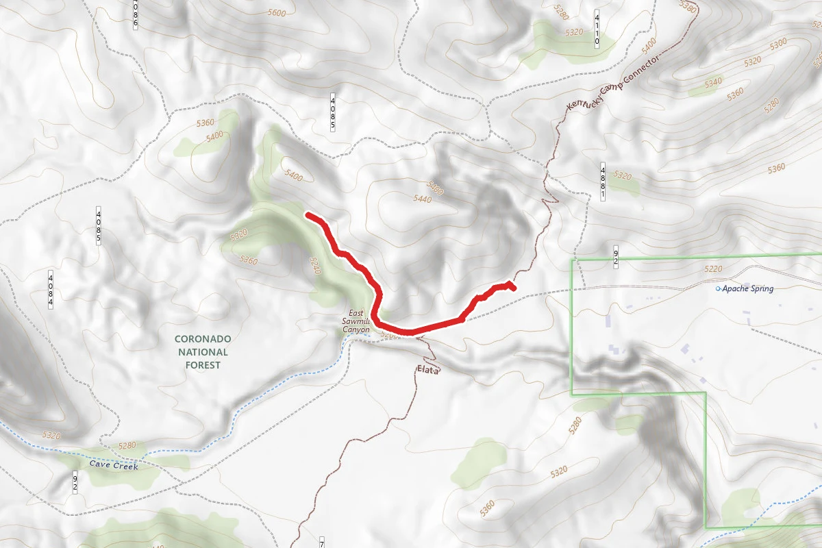
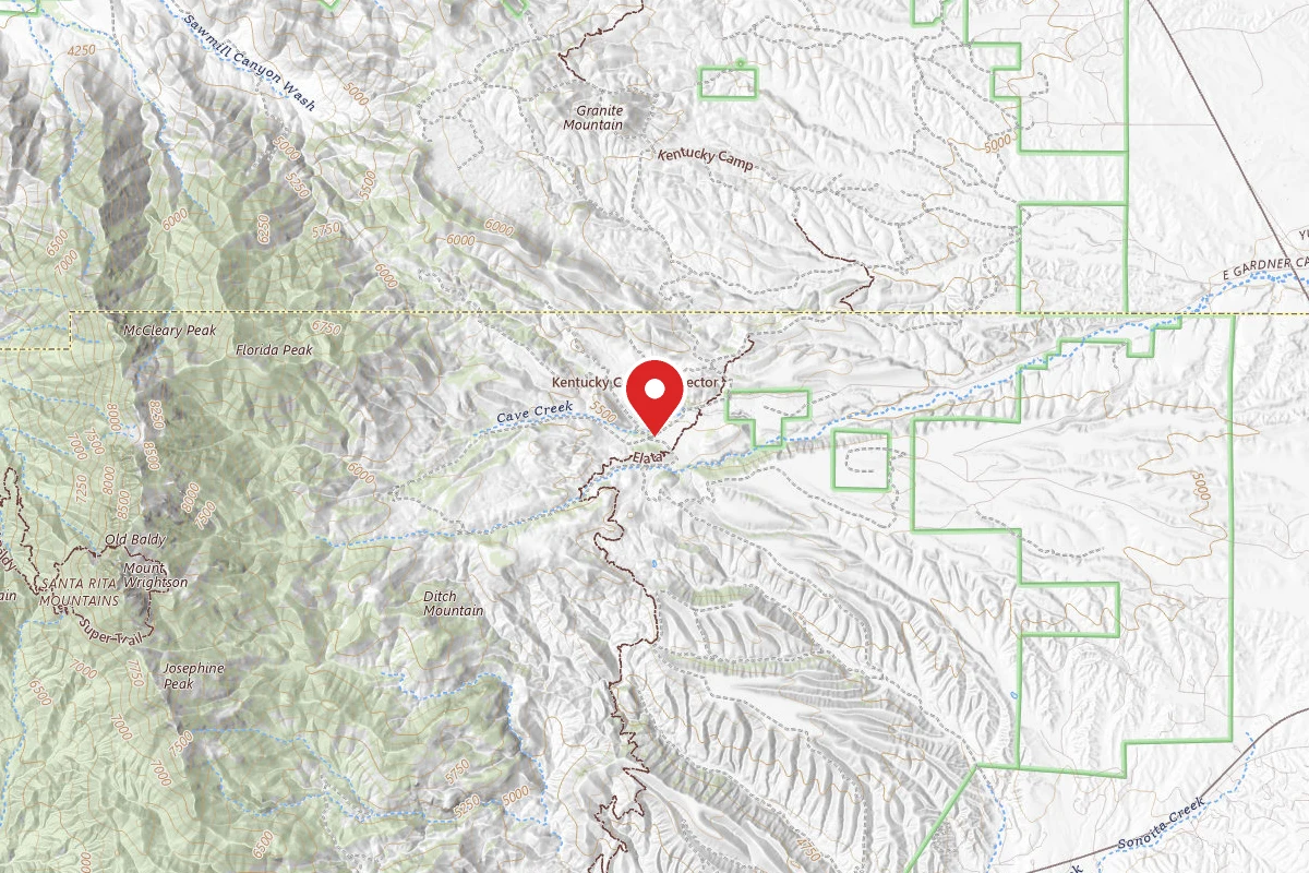
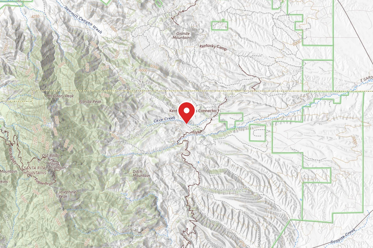
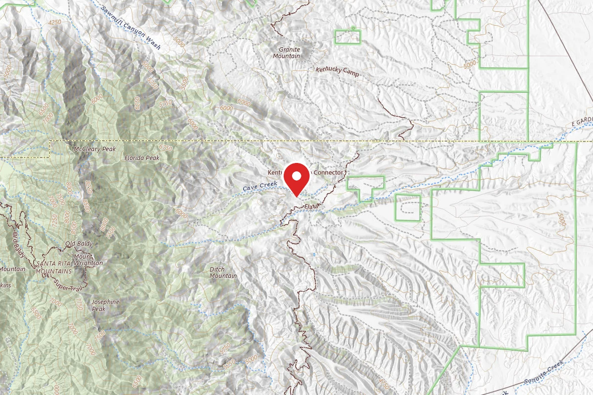
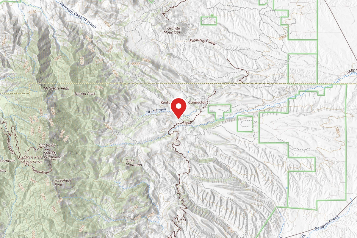
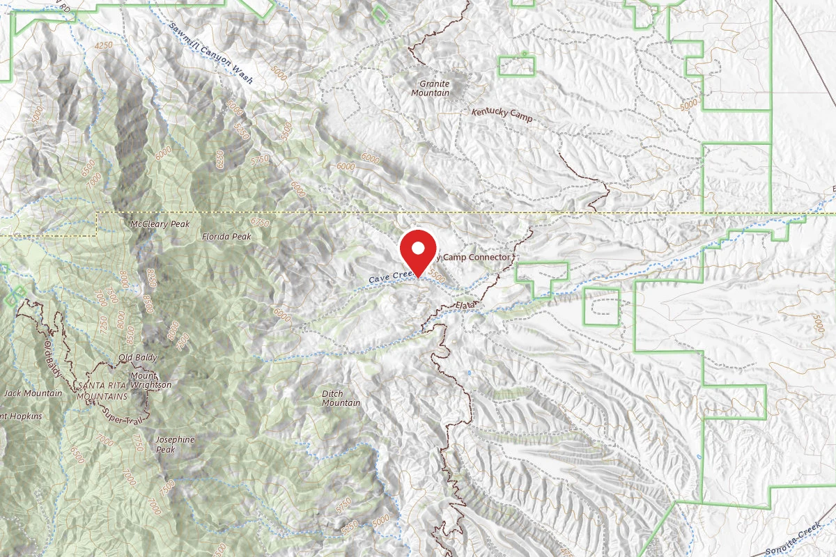
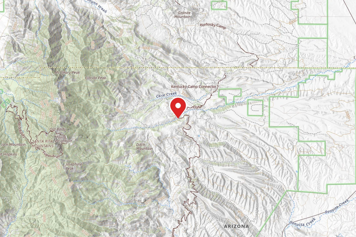
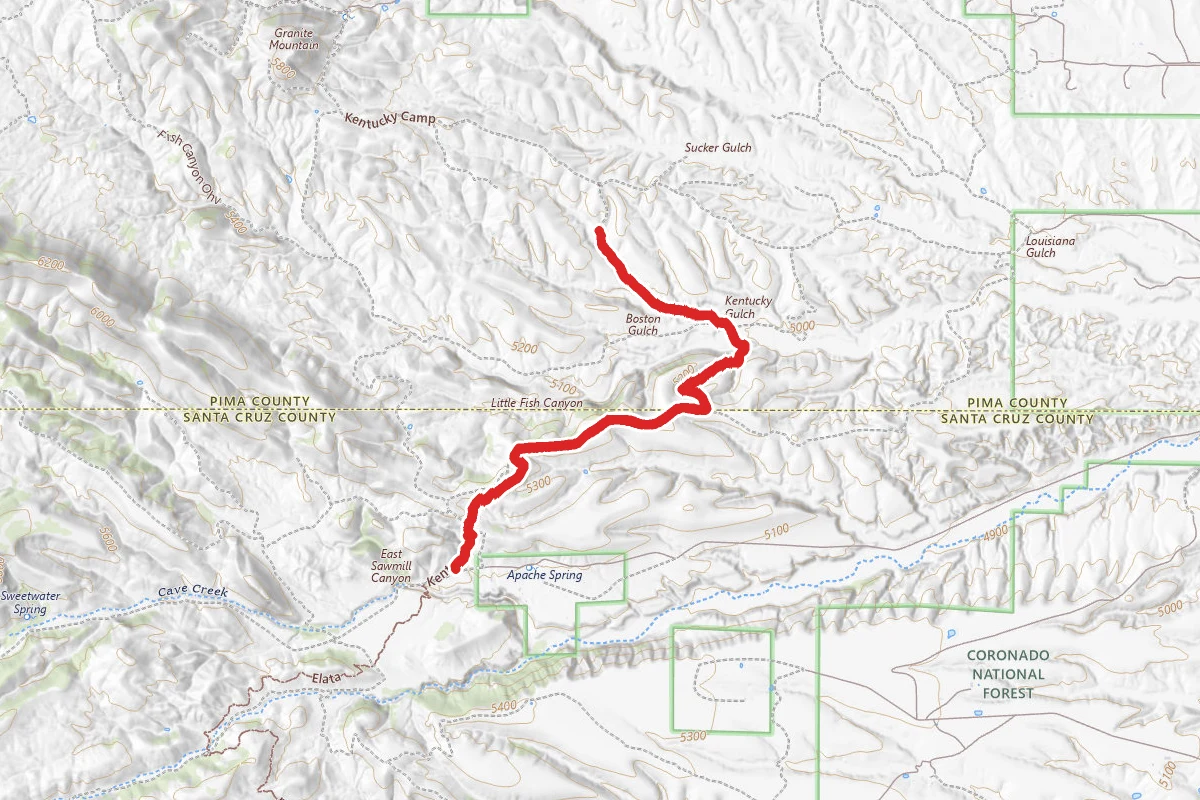
Kentucky Camp Trail route map
DifficultOut and Back

Kentucky Camp Trail

Sonoita, Arizona

7.1 mi

Distance

1,056 ft

Elev. Gain

2h 44m

Est. Time

Out & Back

Route Type

Difficult

Difficulty

About This Trail

Imported description
DIRECTIONS: Take Hwy. 83 south from the I-10 Freeway toward Sonoita. About 22 miles south and 3 miles north of Sonoita (past the Border Patrol Check Point) you will see a prominent sign saying Gardner Canyon. Take this dirt road about 5 miles straight west. Follow the signage--do not turn right to Kentucky Camp--you will ride there on a quicker route. At the Apache Springs Ranch, you will continue on Gardner Canyon Road (this is Forest Service Road #92) and not too far past Apache Springs Ranch (about 1 mile) there is a large and obvious parking lot. Park there and consult the signs. TRAIL GUIDE: The Arizona Trail crosses here, but DO NOT follow it to the right. This trail goes up a steep and rocky trail and is the way you will come back to the parking lot. At the parking lot, follow the evident single track next to the info sign heading west. It joins the FS 92 Road again shortly. You follow this until the junction with FS 4084--about 0.7 miles. Turn right on this road and leave the Arizona Trail. Follow this down to Cave Creek and look for Oynx Cave. Head back up above the drainage and follow this two-track until the junction with FS 4085. Take that route (to your right) and continue on. At FS 4086, there is a short diversion to see Cave of Bells. At the end there is a barrier, and you can walk or ride your bike to the cave entrance. It is blocked off and you need a rope to get down to the barrier. Head back down 4086 to rejoin 4085 and continue on the two track to the low saddles through the hills to your east. Once at the top, look for FS 4110 and follow it out along the top of the hill through open grasslands with great vistas to the east of the Whetstone Mountains and Mule Mountains. You continue on this for some time (2 miles or so) until you see the Arizona Trail sign heading north. Take this and you are about 1.5 miles from Kentucky Camp. You ride down an oak-valley, go through a gate, ride some more, cross FS 4085, come to another gate, ride through a valley with pit mines from the 1870's (look for the sign), go through one more gate and then you will see the caretaker's trailer at Kentucky Camp. Be sure to tour the large hotel building and read some of the fascinating history. A small cabin is for rent through the FS. Head back the way you came, but on top of the grassy hills, look for the obvious Arizona Trail marker to your left and follow it to get back to the parking lot. It follows the water ditch/aqueduct for most of the way. At the end, you come to a hill overlooking the parking lot.

Trail Conditions

Trail Conditions

Unknown

We have no current condition data for this trail. Check with the operator before you go, and submit a report below if you've been recently.

No recent condition reports. Be the first to share what you see on the trail.

Elevation Profile

Min:1,526 ft
Max:1,649 ft
322 ft
322 ft
1,526 ft1,567 ft1,608 ft1,649 ft0.0 mi1.8 mi3.5 mi5.3 mi7.1 mi

Trail Details

Route Type
Out & Back
Surface
Dirt

Official sources & verification

We don't have curated agency sources for this trail in our cache yet. Outdoors is not the permitting authority — confirm conditions, permits, and access with the managing agency before you go. If you know who manages this trail, please tell us.

Reviews

No reviews yet

Be the first to share your experience and help others plan their visit.

Legacy import — verify before navigating

Path geometry came from our pre-launch legacy database. Routes have not yet been re-verified against the operator and may differ from the actual trail.

Hunt context

This trail crosses hunting units

During hunting seasons, wear blaze orange and check regulations — see the Arizona hunting page

Spot an error in our data on Kentucky Camp Trail?