Status unknown — verify before visiting

We don't have current condition data for this trail. Check with the land manager before you go.

Junipero Serra Peak
ExpertOut and Back

Junipero Serra Peak

Greenfield, California

11.3 mi

Distance

4,308 ft

Elev. Gain

2h

Est. Time

Out & Back

Route Type

Expert

Difficulty

About This Trail

Imported description
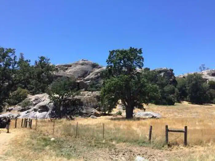
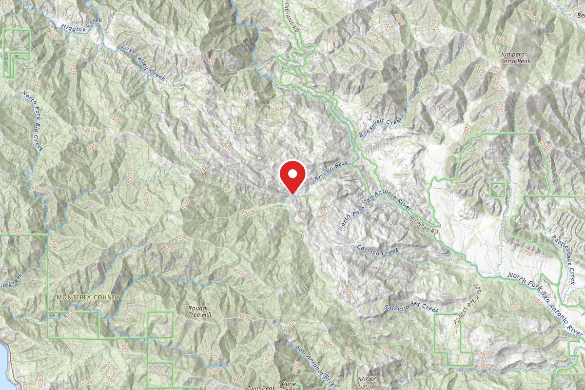
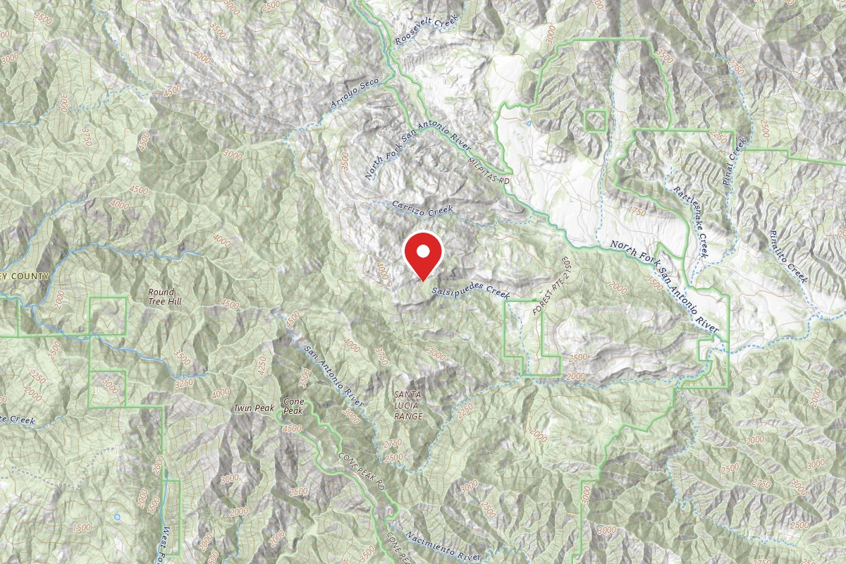
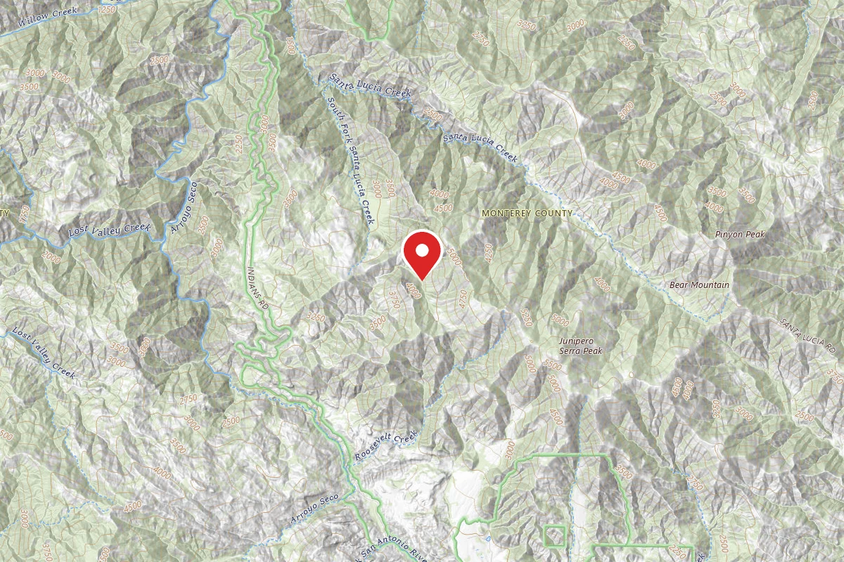
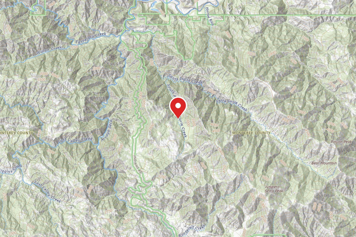
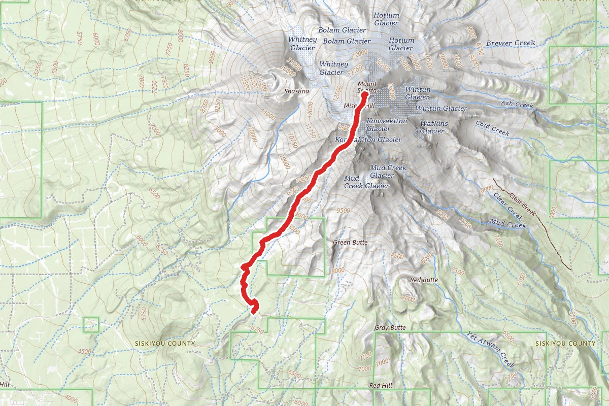
Junipero Serra Peak is the highest peak in the Santa Lucia Mountains and hiking it normally takes a full day. It's just to the East of Big Sur in Monterrey County. The views from the top and along the ridges are breathtaking, and the 5.6 mile, one-way climb from the trailhead to the summit is a heart pounder. The trail is not a wide, super-well-maintained trail like some you will see in Federal, State, and County parks. It's more of a remote trail, and that is part of the allure to this magical place. Start at the obvious trailhead and make sure to close the gate behind you. In a short distance, you will come to the trail register on the left then cross a small stream. About 250 feet past the stream crossing, you will come to an unmarked fork in the trail. Both directions look equally traveled. Go left. If you go right, you'll be back when you get tired of bushwhacking. There is no good way to the peak on the route to the right. The first 2.5 miles of the route have a very gradual incline. The remaining distance of the trail are entirely different with a good steep climb that is, in some parts, over 1,000 feet per mile climb rate. Mile 2.5 through about mile 4.5 ascend steeply through switchbacks on the south faces of a ravine. The terrain is brushy in places, and the trail can momentarily become somewhat obscure. If you get into serious bushwhacking and the trail seems to have disappeared, you are probably off track. Go back until you can find the more obvious trail. It is always there, but you can get distracted in the bushy tunnels. Once you reach the final ridge and get a view to both east and west, you have a about a mile to the summit tower. Try to follow the trail as much as possible. You can easily find your way to the peak by the most direct route, but in doing so you will be climbing very steeply through a lot of brush. The trail is an easier route, but it gets easily lost in the large number of fallen trees on the summit shoulder to the northwest of the peak. If you stick with what appears to be the trail even through a lot of fallen tress and rough going for about 100 yards, your path to the summit will be easier than the direct route up the northwest spine. At the top are some nice rock outcroppings with magnificent views at the summit. There is also an old lookout tower, but there is no flooring up on the top of the tower, so it isn't a really good place to hang out. Return to the trailhead the way you came.

From Wikipedia

Junipero Serra Peak is the highest mountain in the Santa Lucia range of central California with a height of 1,785 metres. It is also the highest peak in Monterey County, and is located within the boundaries of Los Padres National Forest. It is named after Saint Junípero Serra, the Spanish Franciscan priest who founded the California Missions in the 18th century. There is a fire lookout, with a tower and building, near the peak that was constructed around 1935. An unauthorized skiing operation on the summit was reported sometime before 1970. Good astronomical observing conditions were an early attraction to the peak. Astronomers scratched a trail to the summit in January 1880 to observe a total eclipse of the sun. Observations from the peak were also made on the transit of Venus in 1882.

Source: Wikipedia — text licensed CC BY-SA 4.0. Verify trail conditions and seasonal closures with the managing agency before you go.

Trail Conditions

Trail Conditions

Unknown

We have no current condition data for this trail. Check with the operator before you go, and submit a report below if you've been recently.

No recent condition reports. Be the first to share what you see on the trail.

Elevation Profile

Min:639 ft
Max:1,782 ft
1,313 ft
1,313 ft
639 ft1,020 ft1,401 ft1,782 ft0.0 mi2.8 mi5.6 mi8.5 mi11.3 mi

Trail Details

Route Type
Out & Back
Surface
Dirt

Official sources & verification

We don't have curated agency sources for this trail in our cache yet. Outdoors is not the permitting authority — confirm conditions, permits, and access with the managing agency before you go. If you know who manages this trail, please tell us.

Reviews

No reviews yet

Be the first to share your experience and help others plan their visit.

Legacy import — verify before navigating

Path geometry came from our pre-launch legacy database. Routes have not yet been re-verified against the operator and may differ from the actual trail.

Spot an error in our data on Junipero Serra Peak?