Difficult
203.1 mi
Distance
55,741 ft
Elev. Gain
90h 43m
Est. Time
0.0
0 Reviews
About This Trail
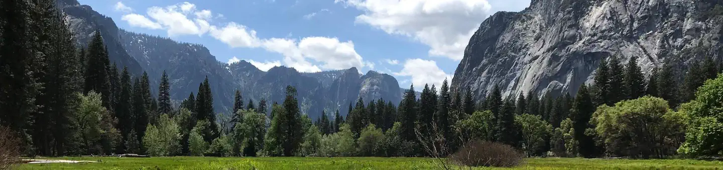
It's the John Muir Trail from the valley to the portal.
Trail Details
Point to Point
Route Type
Dirt
Surface
No Dogs
Dog Policy
Yes
Kid Friendly
No
Permit Required
Elevation Profile
Min:1,233 ft
Max:4,411 ft
16,990 ft
15,675 ft
Reviews
No reviews yet
Be the first to share your experience and help others plan their visit.
Trail Conditions
Trail Conditions
Unknown
Updated Unknown
No recent condition reports. Be the first to share what you see on the trail.
Nearby Trails
More trails near John Muir Trail via Yosemite ValleyDiving Board [CLOSED]
20.1 km
Difficult
Merced Lake Trail [CLOSED]
55.4 km
Difficult
Happy Isles to Cloud's Rest Loop [CLOSED]
32.2 km
Difficult
Merced Lake to Half Dome Loop via John Muir, Pack and Cloud Rest Trails [CLOSED]
55.8 km
Difficult
Yosemite to Agnew Meadows [CLOSED]
100.1 km
Moderate
East Valley Floor Trail [CLOSED]
10.0 km
Easy
In this park
Other trails in Yosemite National Park

Half Dome
California
3.2 km1,463 mgain
Expert

Mirror Lake Loop
California
6.2 km30 mgain
Easy
Yosemite Falls Trail
California
4.8 km823 mgain
Difficult

Four Mile Trail
California
7.7 km975 mgain
Difficult
Upper Yosemite Falls Trail
California
11.6 km1,575 mgain
Difficult
Four Mile Trail
California
14.8 km2,058 mgain
Difficult
Stay nearby
Campgrounds near this trail
Similar length
Similar trails in California
John Muir Trail
California
339.6 km15,899 mgain
Difficult
Carmel to Morro Bay via Highway 1
California
192.8 km6,227 mgain
Moderate
Tahoe Rim Trail (TRT) Complete Loop
California
259.4 km12,600 mgain
Difficult
Eastern Sierra Scenic Byway
California
314.5 km5,540 mgain
Easy
Ridgecrest to Death Valley OHV Trail
California
267.0 km4,036 mgain
Moderate
Oceanside to Malibu Trail
California
180.1 km841 mgain
Moderate