Difficult
211 mi
Distance
52,162 ft
Elev. Gain
90h 47m
Est. Time
0.0
0 Reviews
About This Trail
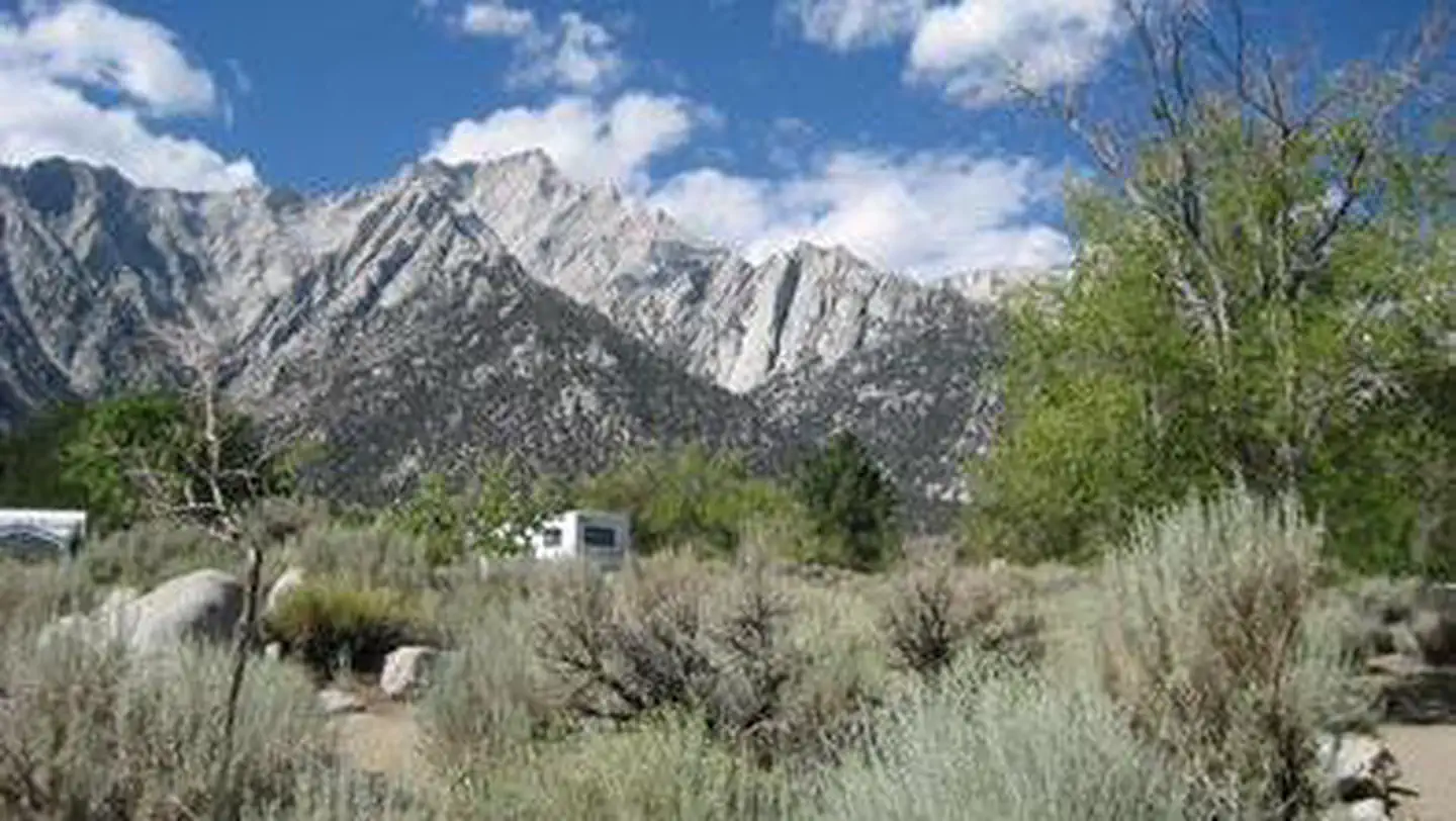
There are some beautiful mountain views in the United States. It goes through both the Sierra Nevada and John Muir Wildernesses before ending at Mount Whitney. For further details, visit the website of the PCA.
Trail Details
Point to Point
Route Type
Dirt
Surface
Dogs Allowed (Leash Required)
Dog Policy
Yes
Kid Friendly
No
Permit Required
Elevation Profile
Min:1,245 ft
Max:4,152 ft
15,899 ft
17,220 ft
Reviews
No reviews yet
Be the first to share your experience and help others plan their visit.
Trail Conditions
Trail Conditions
Unknown
Updated Unknown
No recent condition reports. Be the first to share what you see on the trail.
Nearby Trails
More trails near John Muir TrailStay nearby
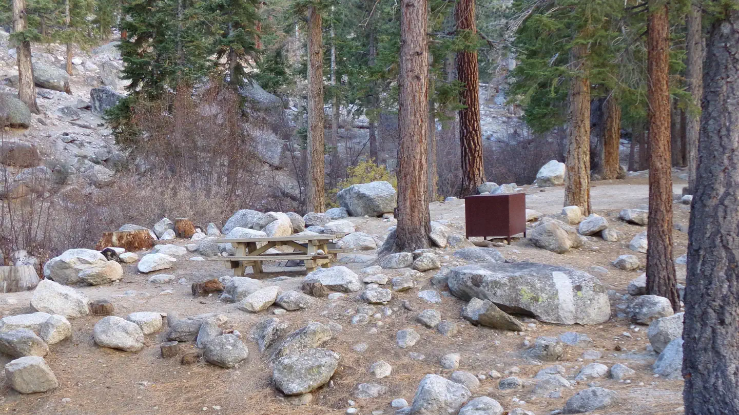
Campgrounds near this trail
Similar length
Similar trails in California
John Muir Trail via Yosemite Valley
California
326.9 km16,990 mgain
Difficult
Carmel to Morro Bay via Highway 1
California
192.8 km6,227 mgain
Moderate
Tahoe Rim Trail (TRT) Complete Loop
California
259.4 km12,600 mgain
Difficult
Eastern Sierra Scenic Byway
California
314.5 km5,540 mgain
Easy
Ridgecrest to Death Valley OHV Trail
California
267.0 km4,036 mgain
Moderate
Oceanside to Malibu Trail
California
180.1 km841 mgain
Moderate